May 16: Southwest Texas Storm
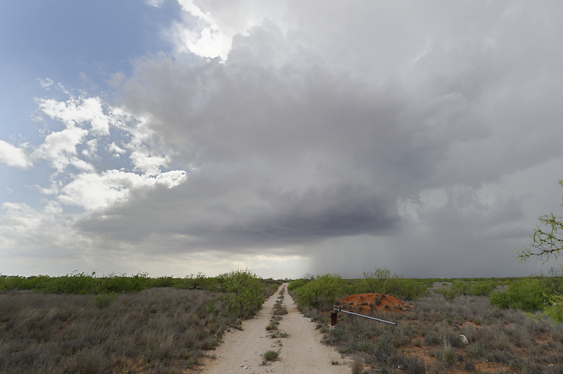
Storm near Andrews, Texas.
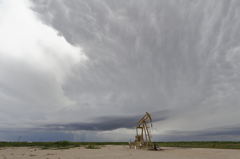
Good view over the oil fields. A supercell develops further south, but I'm not in position to intercept. This is a good example of a cluster outbreak where the best strategy is too stay well east of convective initiation and wait for development of a sustained storm before committing.
May 19: Western Oklahoma Supercell
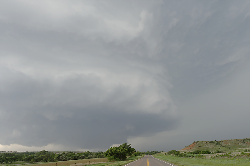
Isolated storm develops along the Texas-Oklahoma state line on a very hot and humid day.
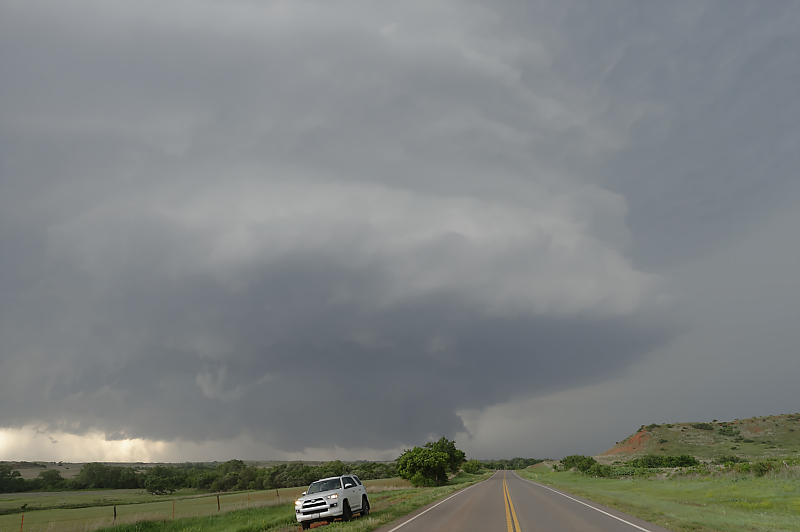
Near Roll, Oklahoma, it quickly takes on the structure of a dangerous supercell. Massive convergence of storm chasers, as well as road construction along the storm's future path (and along my potential escape route from any tornadoes!), causes me to detour to a better road system.
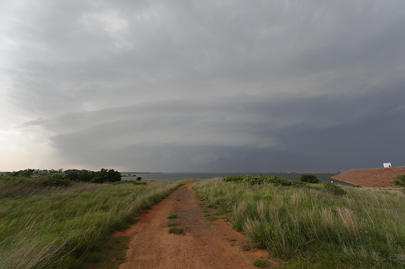
I re-intercept the supercell at Foss Lake.
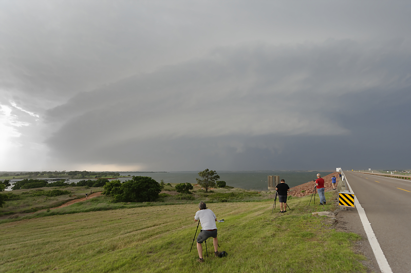
Storm chasers enjoying the view from the dam.
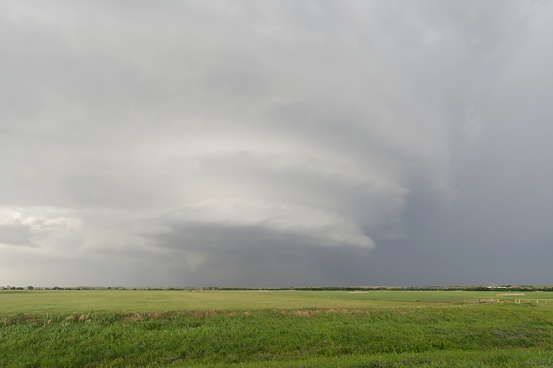
My last view as the storm heads towards the Oklahoma City area.
May 23: Southwest Oklahoma Tornadoes
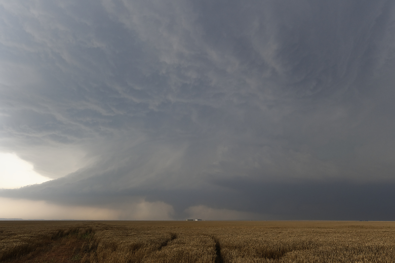
Another hot, humid day with high CAPE. I intercept a tornado near Olustree, Oklahoma, southwest of Altus.
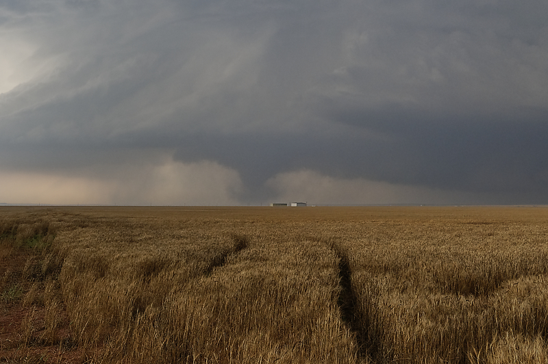
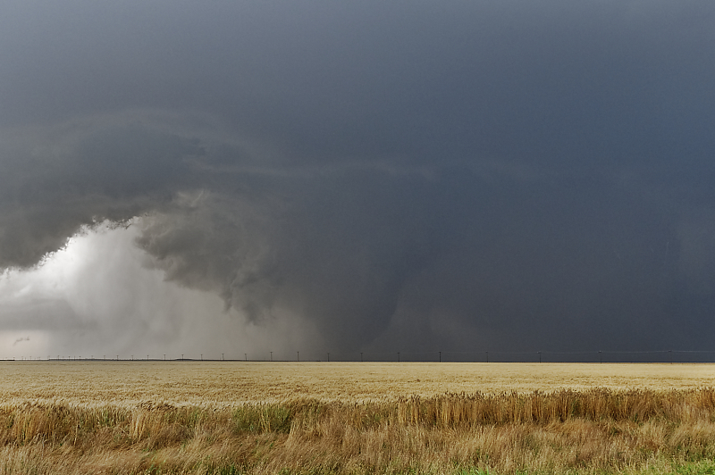
Zoomed-in view over a wheat field.
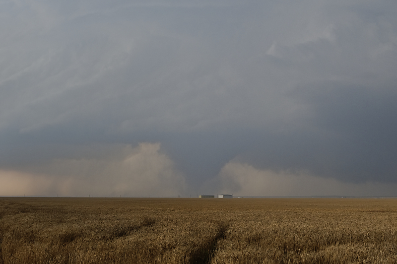
High dewpoints created substantial haze today. As a result, all of these photos required Photoshop enhancements to have a good view of the tornado.
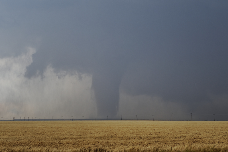
After the first tornado dissipated, a visible clear slot developed. This was caused by descending--and drying--air wrapping around the storm (the Rear Flank Downdraft, or RFD). Soon, this stout tornado formed a few miles to my west.
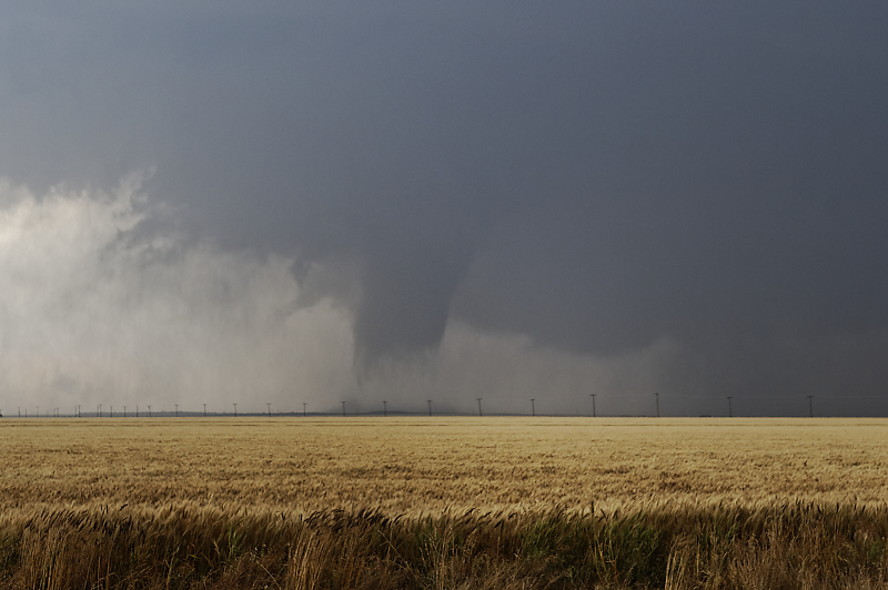
Condensation funnel lifts a little, but tornadic circulation is still on the ground.
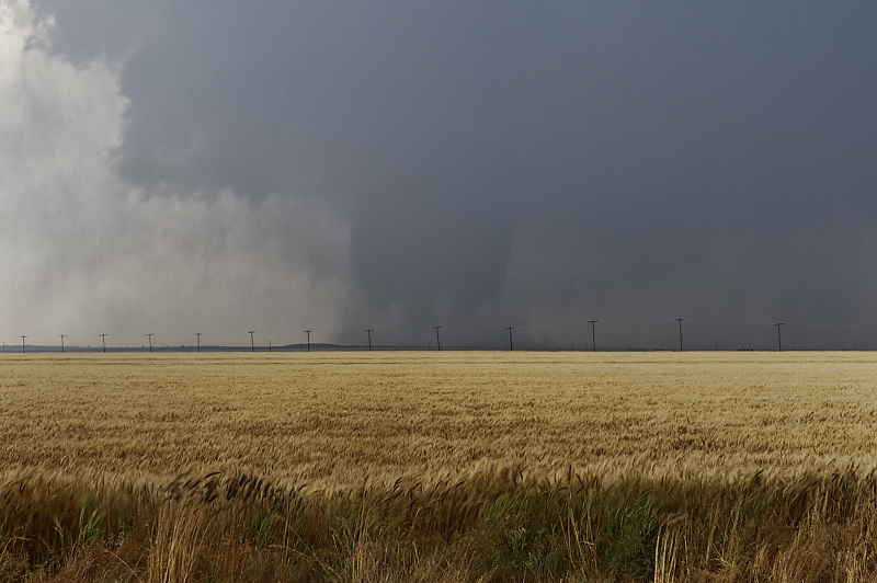
Unique tornado just west of Olustree, Oklahoma.
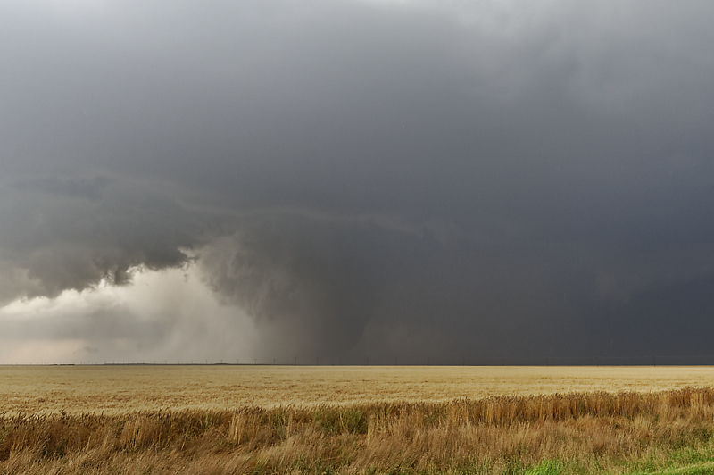
Clear slot is easily visible.
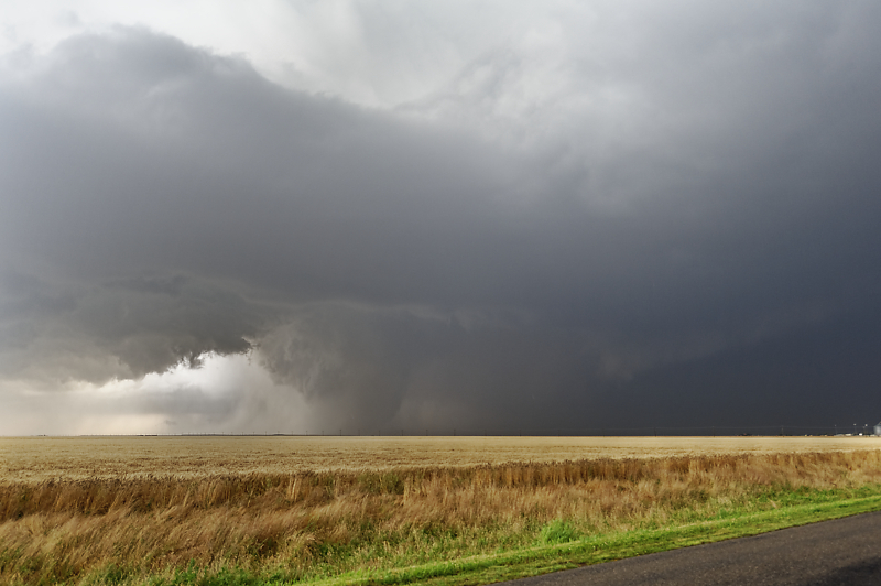
Wide-angle view shows the supercell's structure.
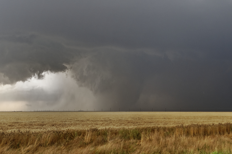
Zoomed-in view reveals a strong tornado.
Last view before the tornado disappears into the rain core.