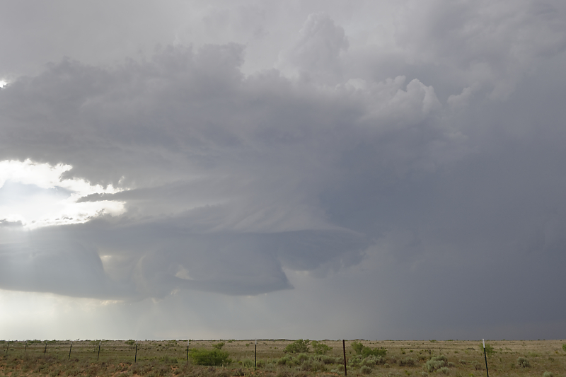
May 25: Northwest Oklahoma Storm
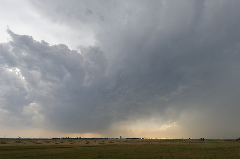
On a high potential day with fast-moving storms, I intercept this cell near the town of Vici.
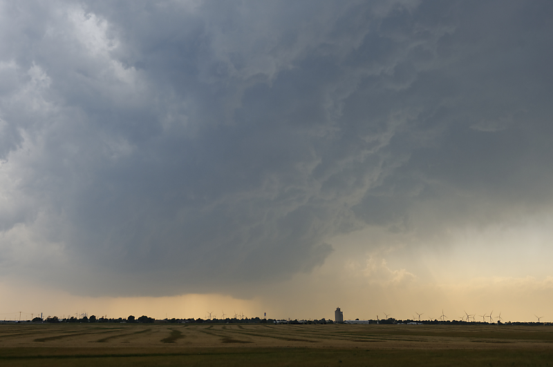
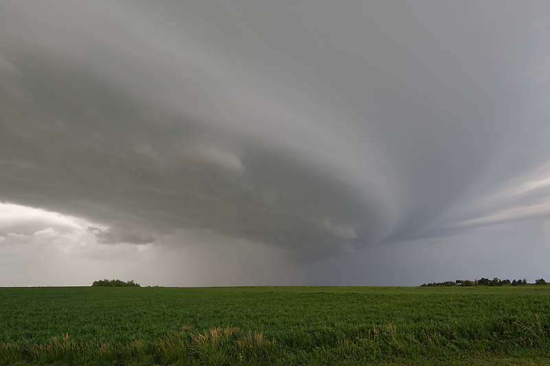
Intense updraft in the early stages of storm development.
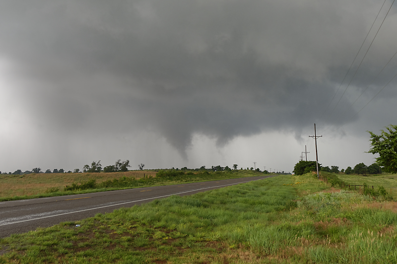
North of Seiling, Oklahoma, I intercept this multi-vortex tornado. It is moving north, away from me, allowing a close-up look. It quickly weakens and I'm left following a mess of fast-moving storms. Nasty tornadoes occur later in the evening much further to the east.
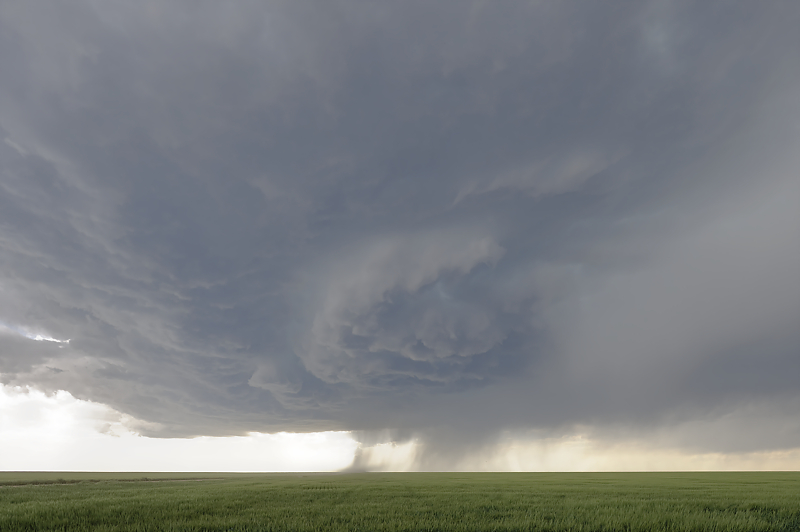
May 28: West Texas Storm
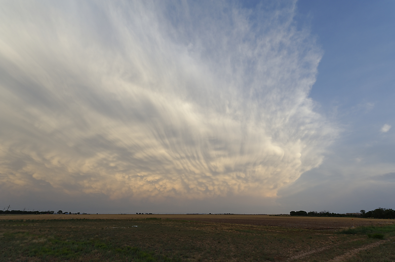
Only good photo during an outbreak of messy, disorganized hailstorms.
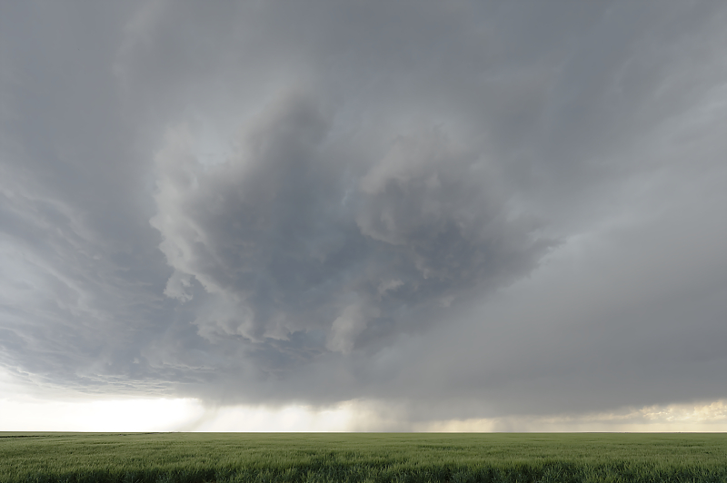
May 30: Another West Texas Storm
Another day with active hailstorms. This is the only photogenic storm I'm able to intercept.
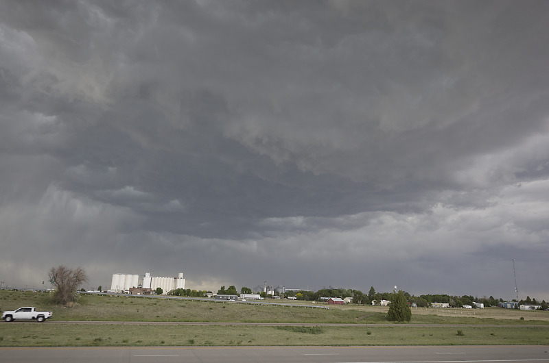
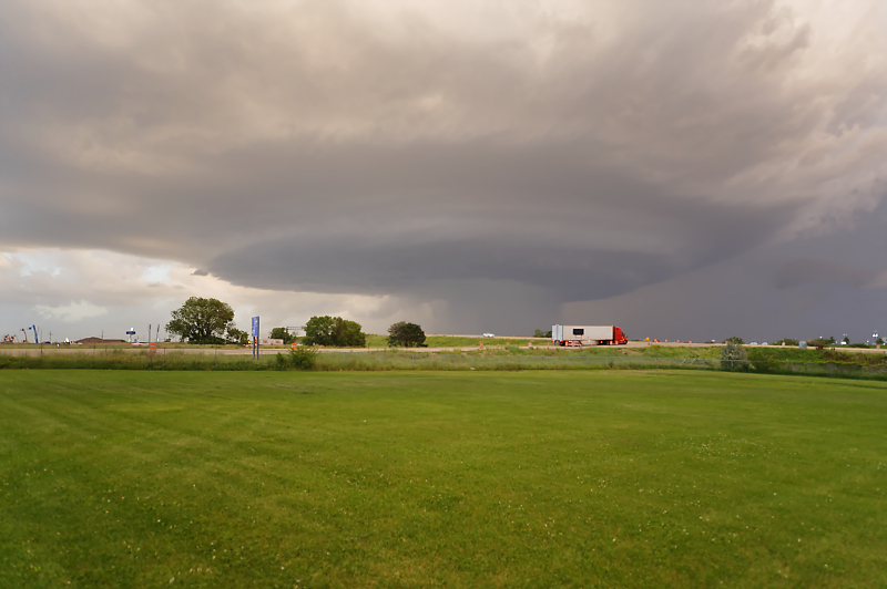
June 2: Eastern Colorado Storm
Scenic high-based thunderstorm near Seibert, Colorado
Lots of cloud motion but no rotation.
Storm becomes dominated by rain-cooled outflow winds as it passes over Burlington, Colorado.
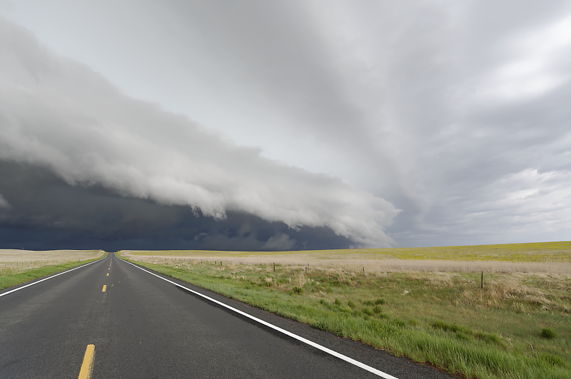
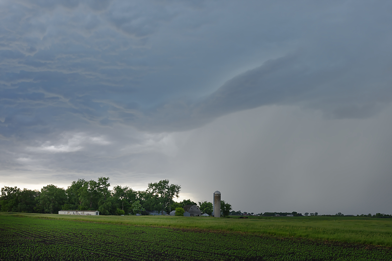
June 8: Northeast Colorado Storm
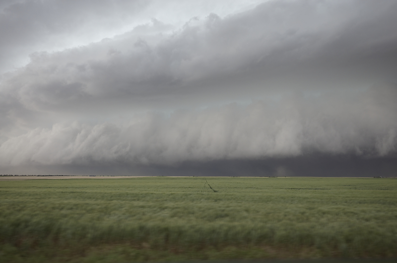
Linear storm south of Brush, Colorado.
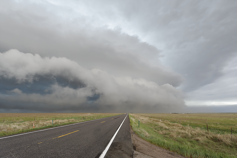
Leading edge of gust front racing southeast across the High Plains of eastern Colorado.
Typical June weather pattern for northeast Colorado.
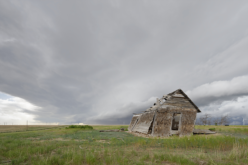
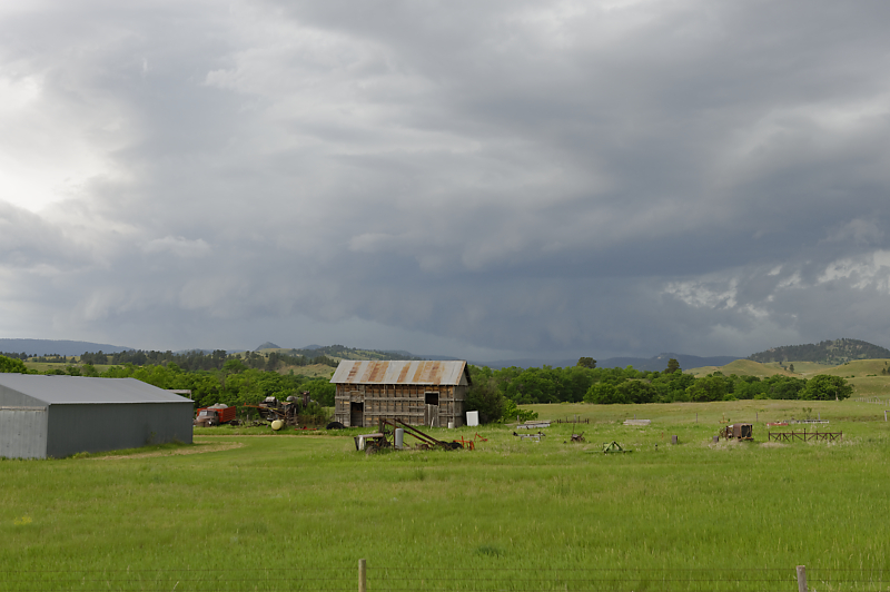
I'm always on the lookout for interesting old buildings with thunderstorms as a backdrop.
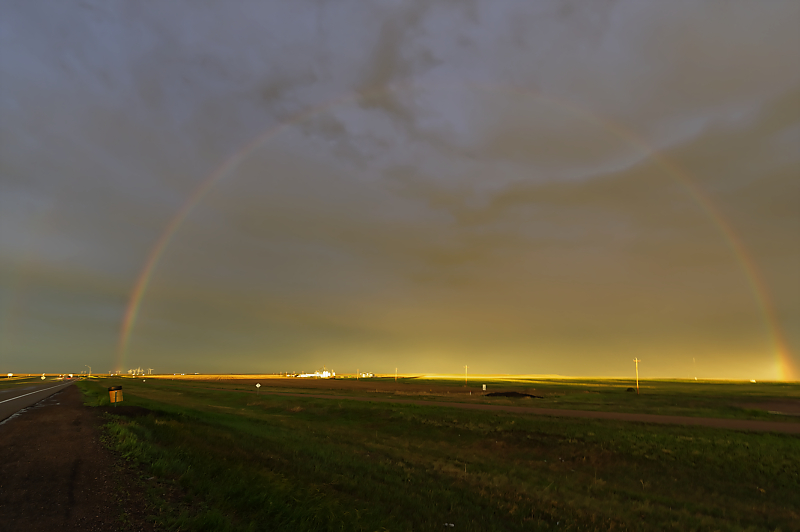
Rainbow east of Limon, Colorado to end the day.
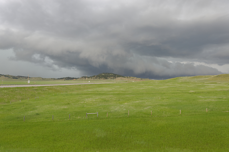
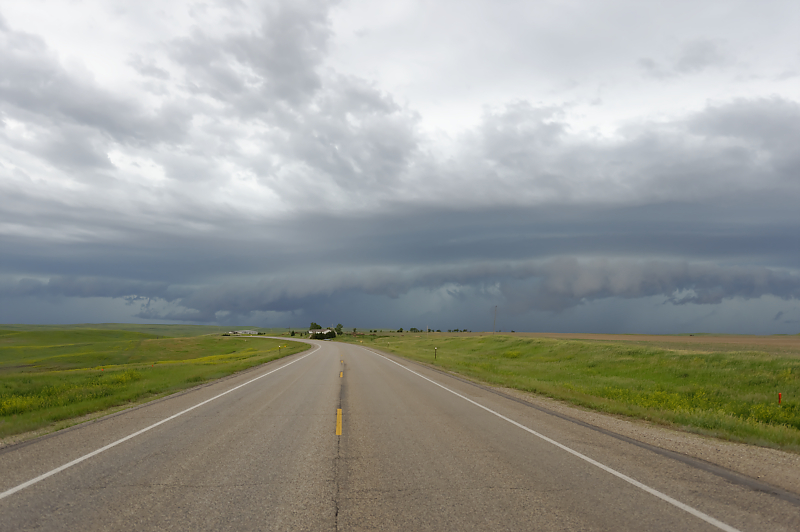
June 10: South Dakota Squall Line
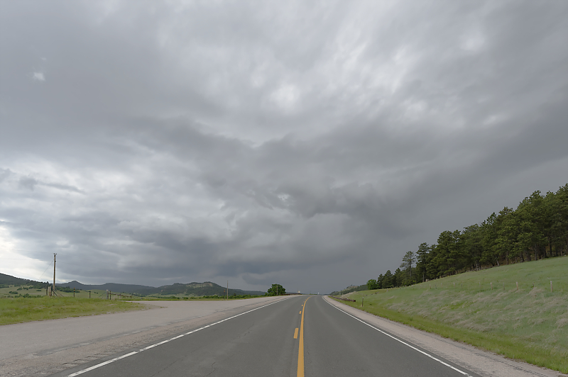
After a night of camping in the Black Hills of northeastern Wyoming, I intercept a storm around noon near my campsite.
Beautiful ranch scenery of far northeast Wyoming.
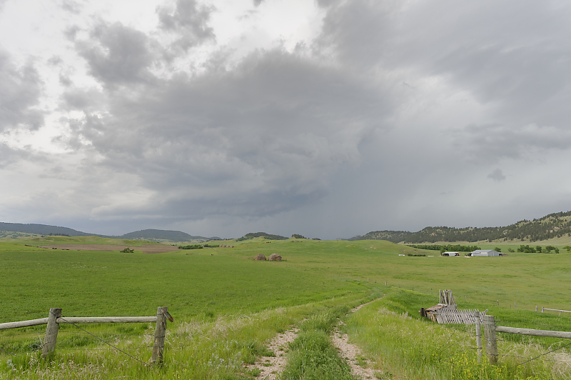
Storm is slowly strengthening.
Numerous cells erupt along the cold front, creating a squall line.
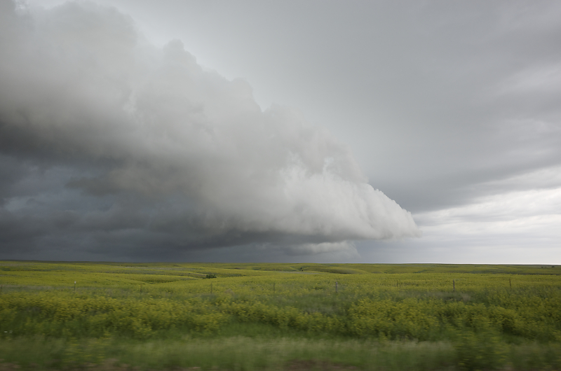
I head east into the plains of South Dakota to stay ahead of the line of thunderstorms.
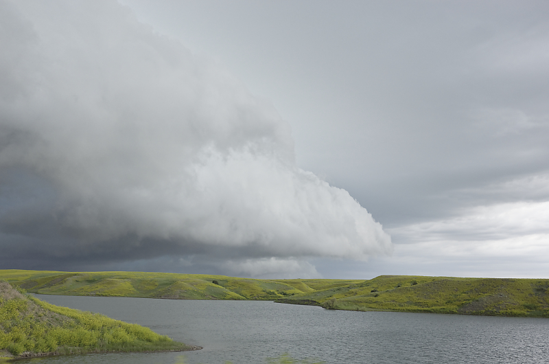
Scenic drive in wide-open ranchland. I get ahead of the fast-moving storm, take some photos as it quickly catches me, then drive east again.
Looking back towards the storm.
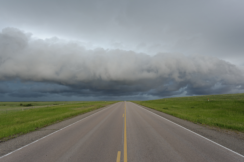
Near Pierre, South Dakota. The storms were run-of-the-mill today, but the scenery made it very worthwhile.
June 12: Omaha Supercell
Mid-day thundershower near Sioux Falls, South Dakota.
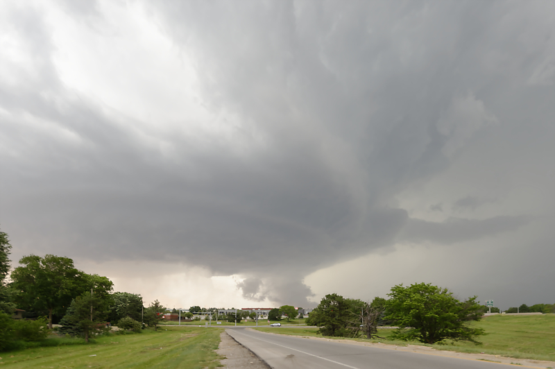
Evening intercept of supercell in Omaha, Nebraska.
Good view south of town at sunset.
Storm weakens after dark. This ends a season of many tornado outbreaks with few good chase days. Fast-moving and after-dark storms were common; photogenic storms were not. But the two big tornado days were among the most spectacular I've seen, and many other days were fulfilling chase days, even if I didn't get any worthwhile photos.