June 6: Central Nebraska Supercell
Growing thunderstorm near North Platte, Nebraska. We skip this storm to head north for a supercell intercept.
Severe storm near Thedford, Nebraska.
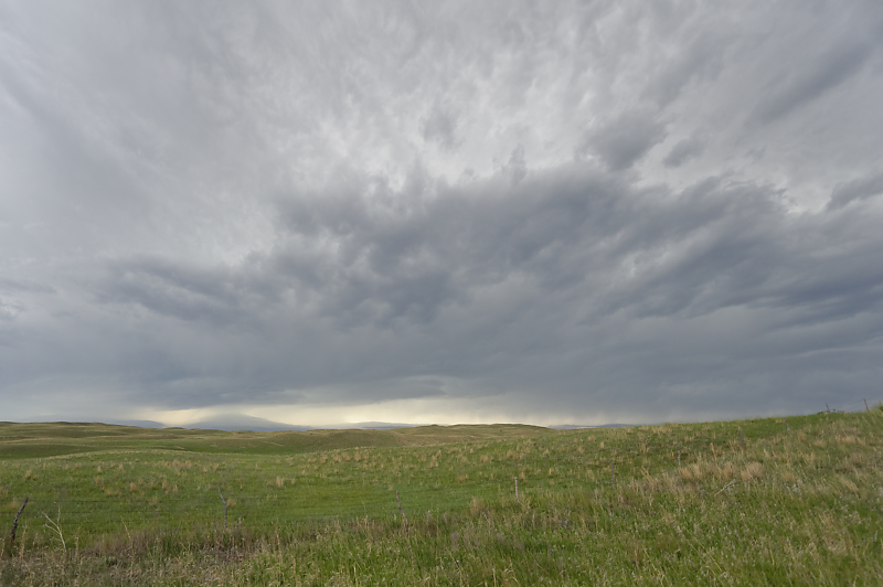
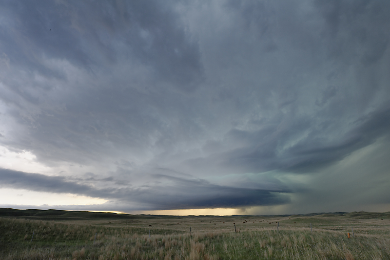
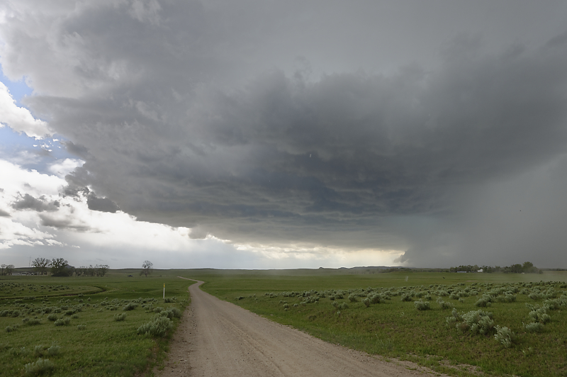
Very ragged-looking storm in the Sandhills of northwest Nebraska.
We drive south on Highway 83 as the storm heads south-southeast, towards the highway.
Beautiful grazing land of the Sandhills.
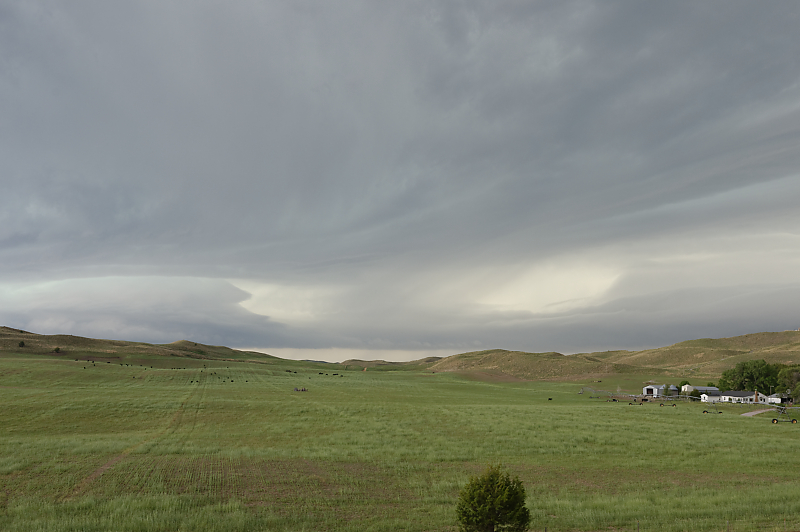
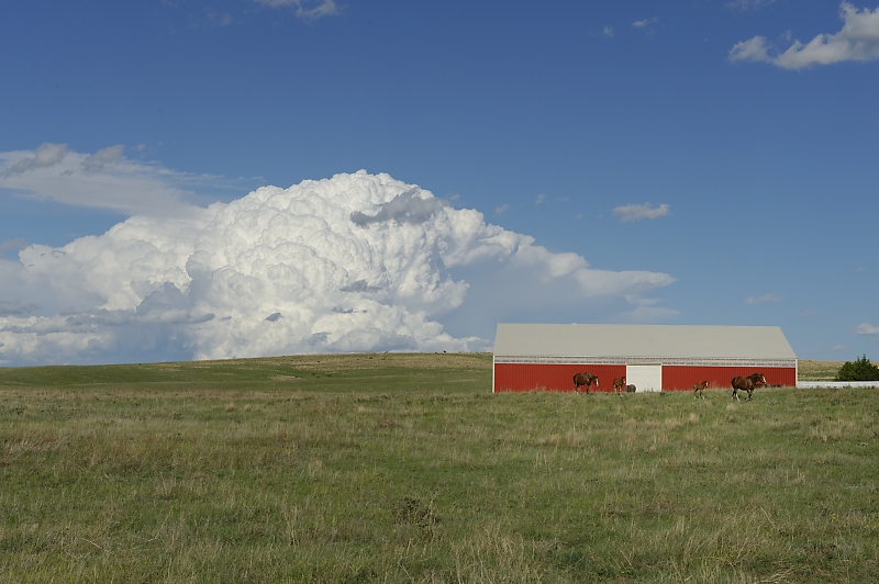
Nebraska cattle ranch.
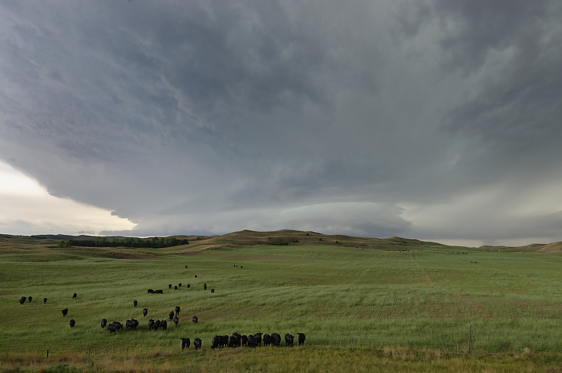
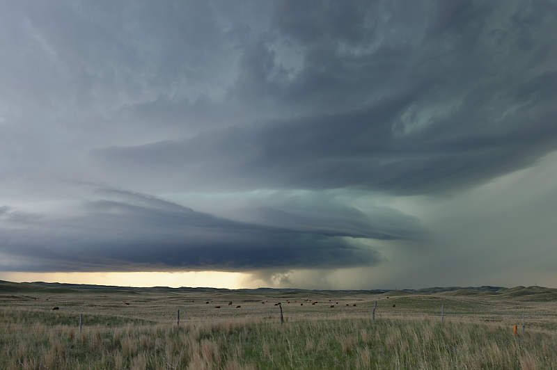
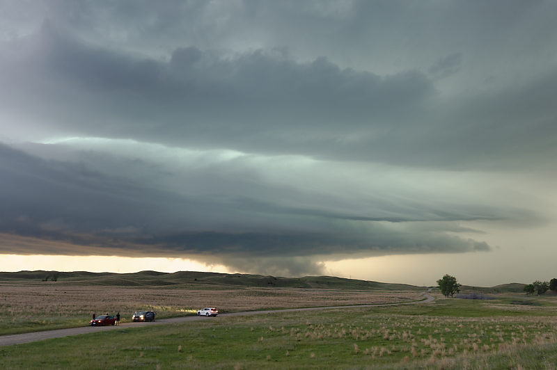
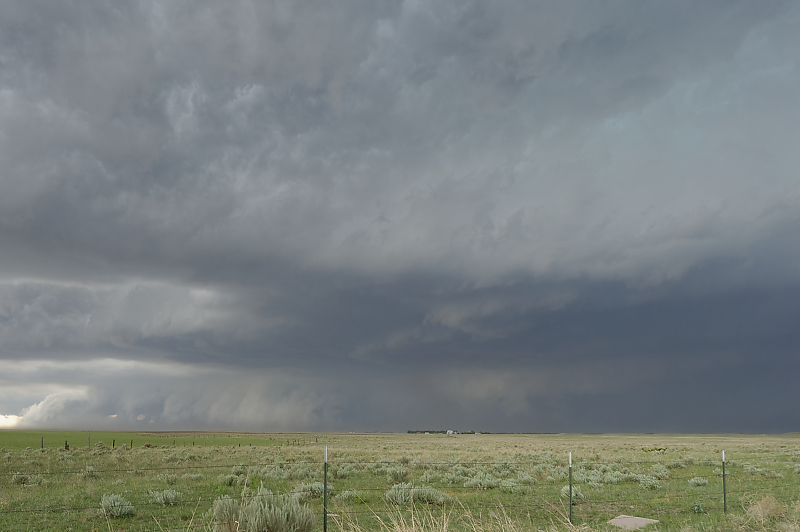
Looking more like a supercell as the thunderstorm circulation tightens up.
The storm's motion has brought it closer to Highway 83 for some spectacular views.
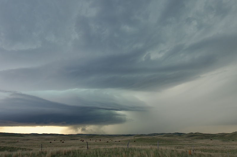
On a day with low expectations, a surprisingly good supercell intercept.
At each stop, the supercell has moved closer to the highway.
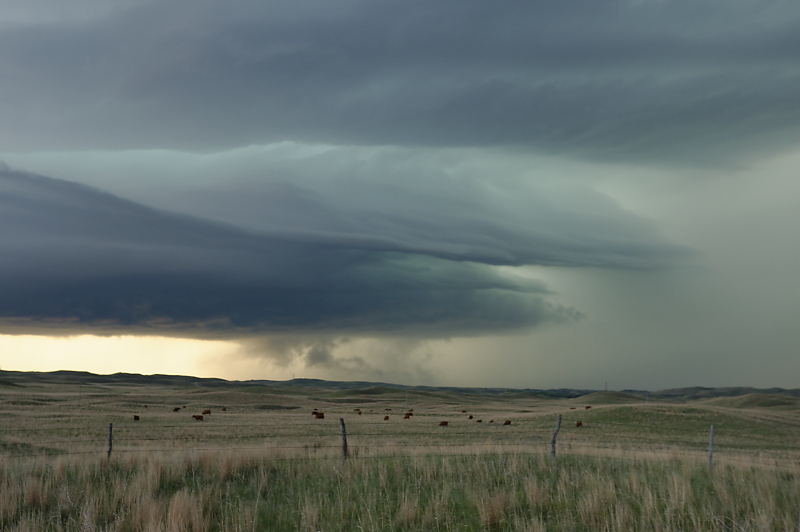
At this point, we must keep our photography stops very short to avoid getting overrun by the hail core.
Zoomed-in view shows the interaction of updraft and downdraft.
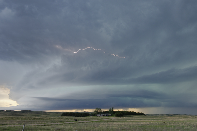
Our last photo stop before we must head south far enough to get clear of large hail.
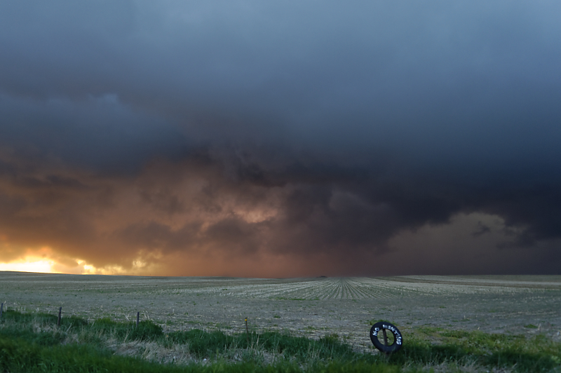
At sunset, the supercell passes to our north.
June 7: More Nebraska Storms
Small storm develops mid-afternoon east of Scottsbluff, Nebraska.
The storm will pass just to our south.
Last view before we head east to track this storm. However, it soon weakens and we look for another thunderstorm to intercept.
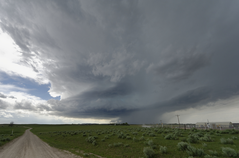
Severe thunderstorm with a shelf cloud south of Ogallala, Nebraska.
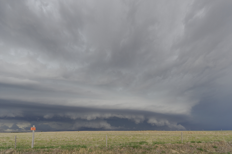
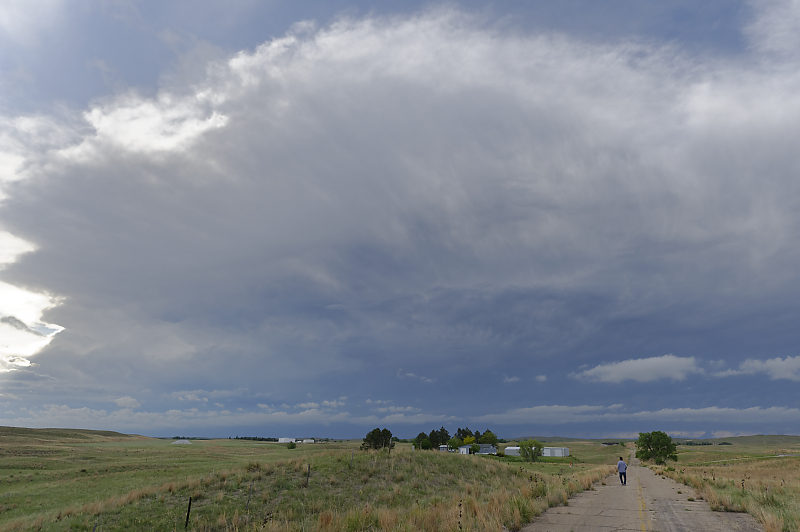
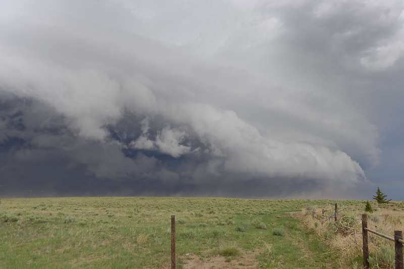
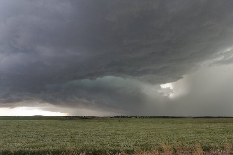
South of Enders, Nebraska, we watch a beautiful shelf cloud ahead of an intense, multi-cell thunderstorm.
Southwest Nebraska cattle ranch.
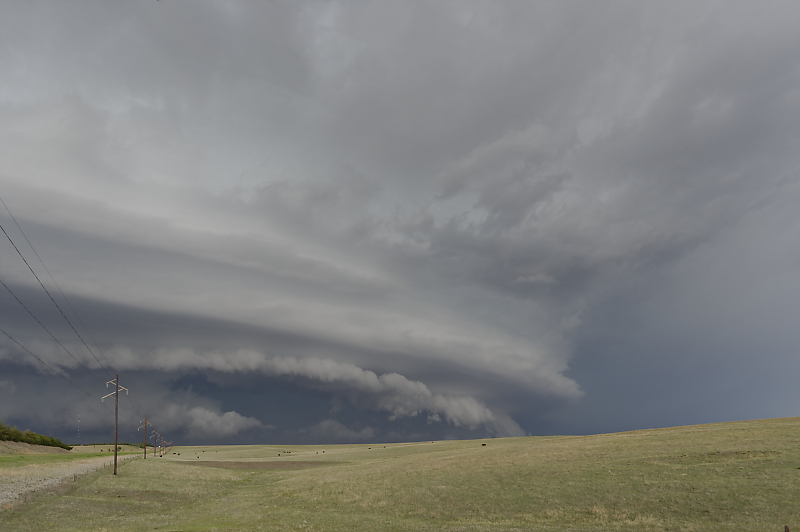
Warm southerly breeze shifts to intense, cool winds from the northeast.
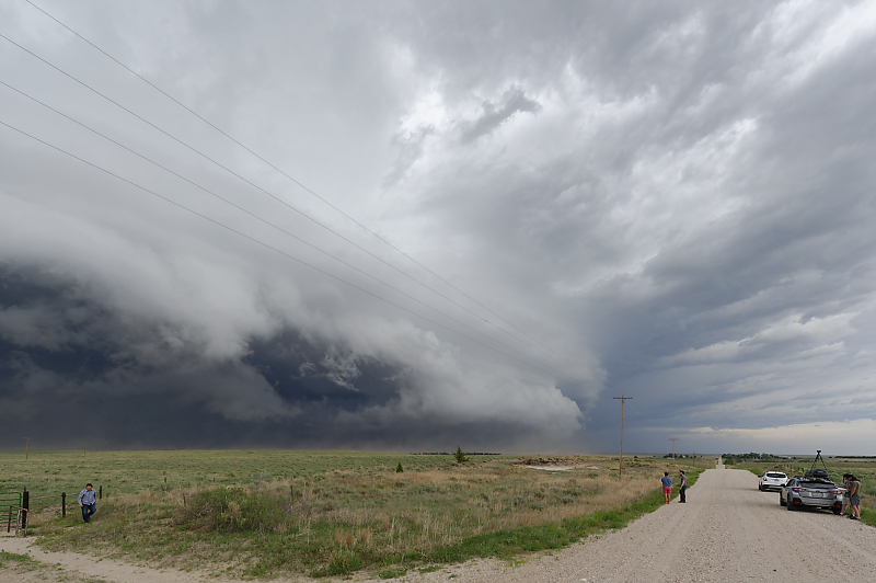
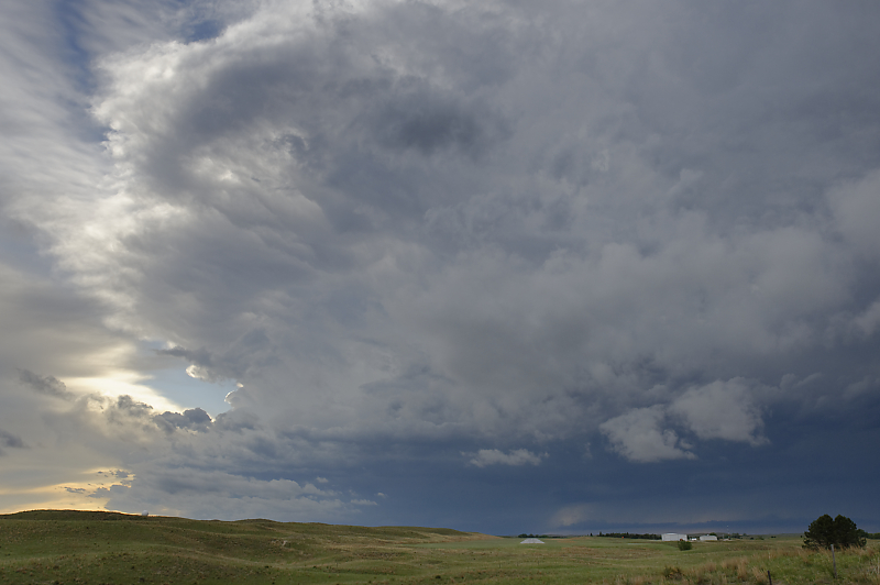
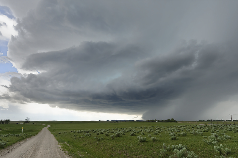
Wide-angle view.
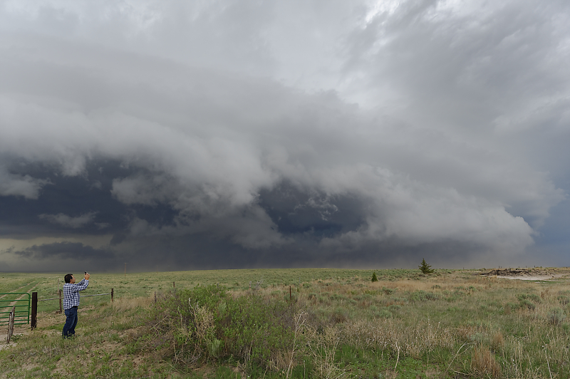
Bill enjoying another outstanding thunderstorm experience.
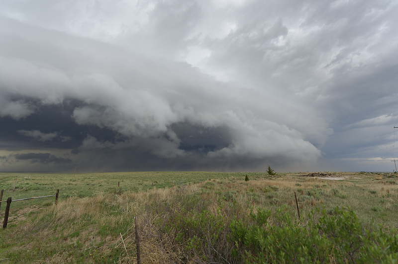
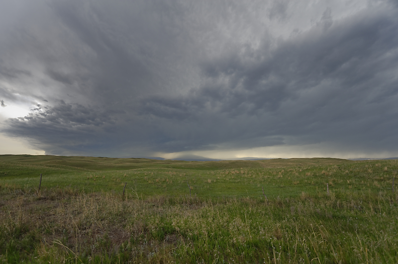
Strong winds are breaking apart the shelf cloud.
We drive back north, between two strong cells with heavy rain and hail. This is the cell to the west.
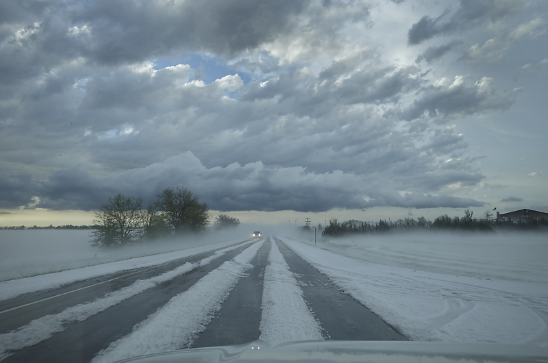
Several inches of hail near Imperial, Nebraska. The city sent out snowplows to clear the road!