June 1: Southwest Texas Storm
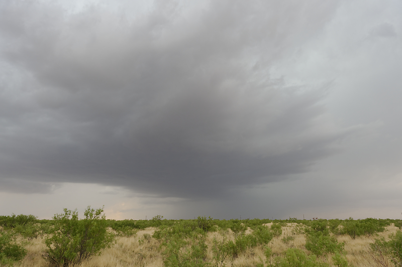
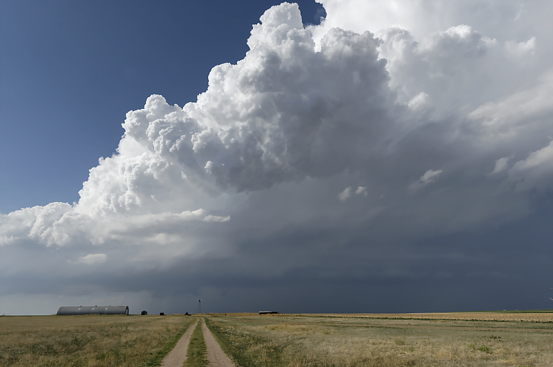
Storm developing in southwest Texas.
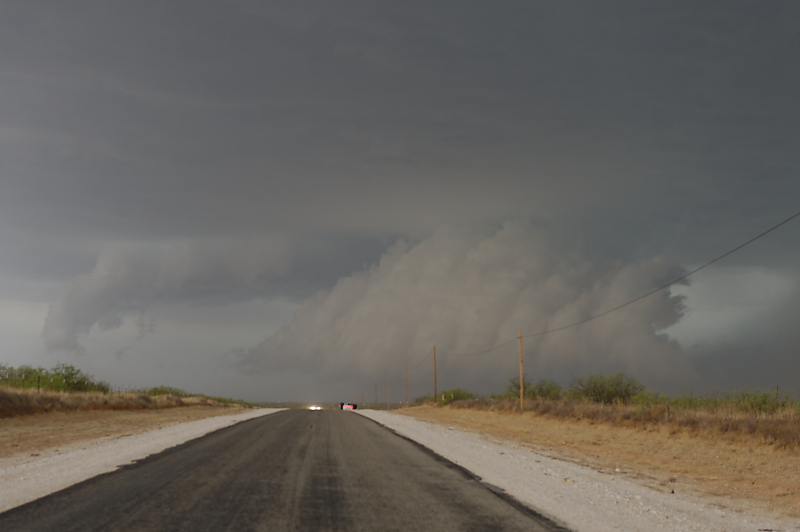
Strong updraft near Andrews, Texas.
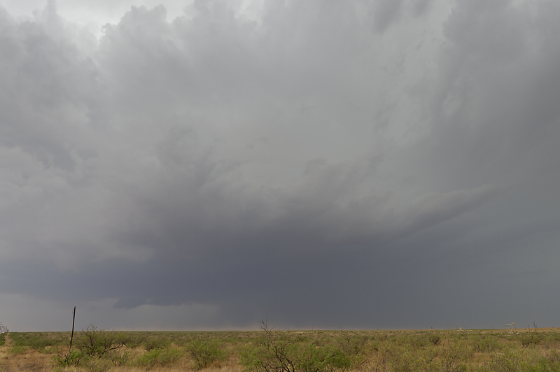
Downpour pushes a gust front under the updraft. Notice the rain foot pushing from right to left in the photo.
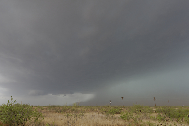
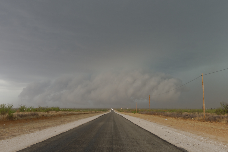
Scud develops where the rain-cooled, nearly saturated, air is lifted by the updraft.
Dramatic clouds mark the leading edge of the cool gust front.
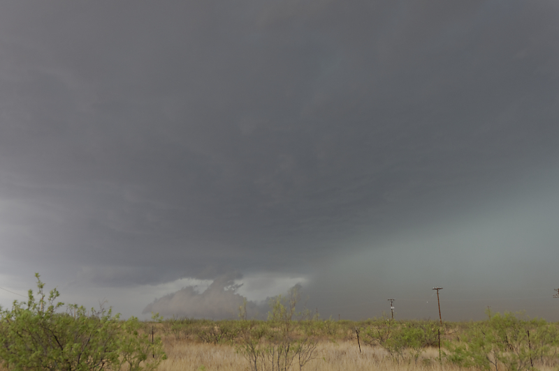
Wide-angle view.
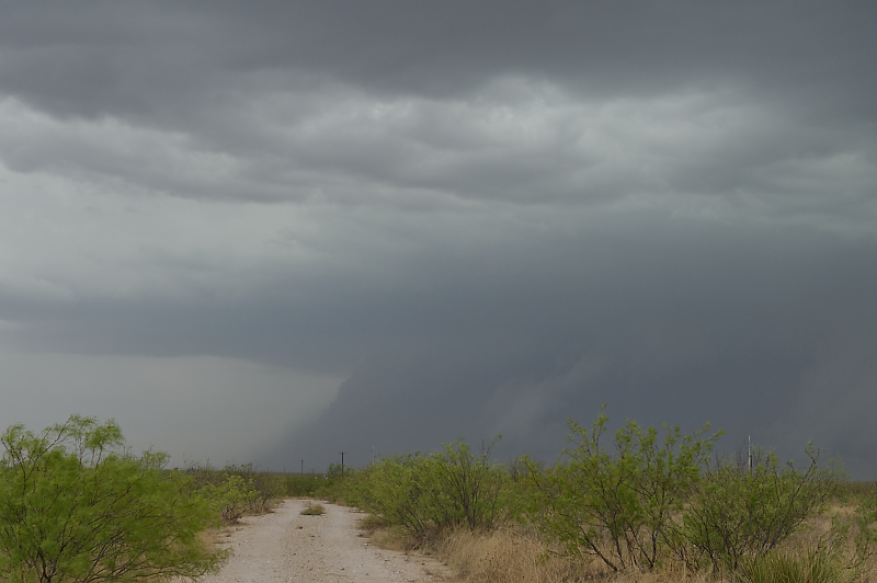
Thunderstorm with intense downpours west of Andrews, Texas.
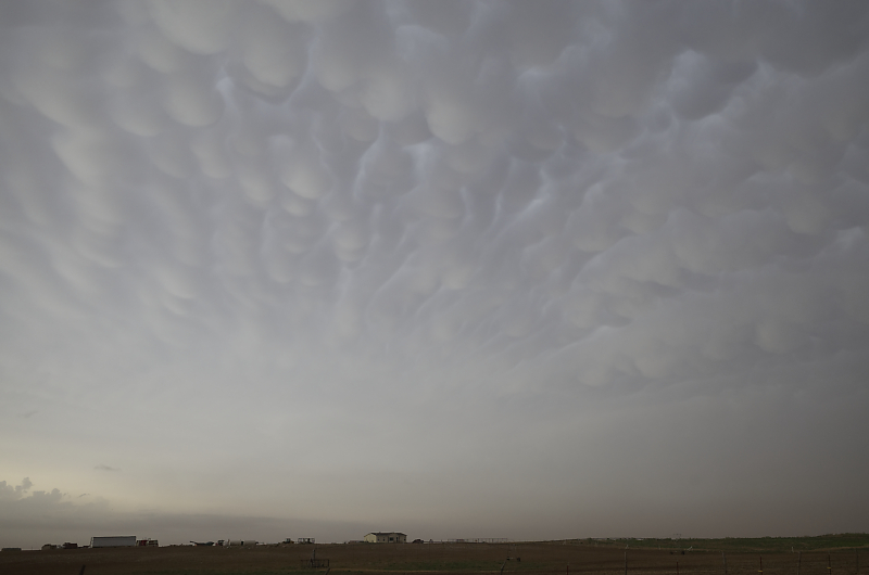
On the drive back to our hotel in Lubbock, we are treated to beautiful mammatus.
June 3: Eastern New Mexico Storm
After hanging out near the Texas-New Mexico border all afternoon, we end up intercepting a supercell near Ft. Sumner, New Mexico.
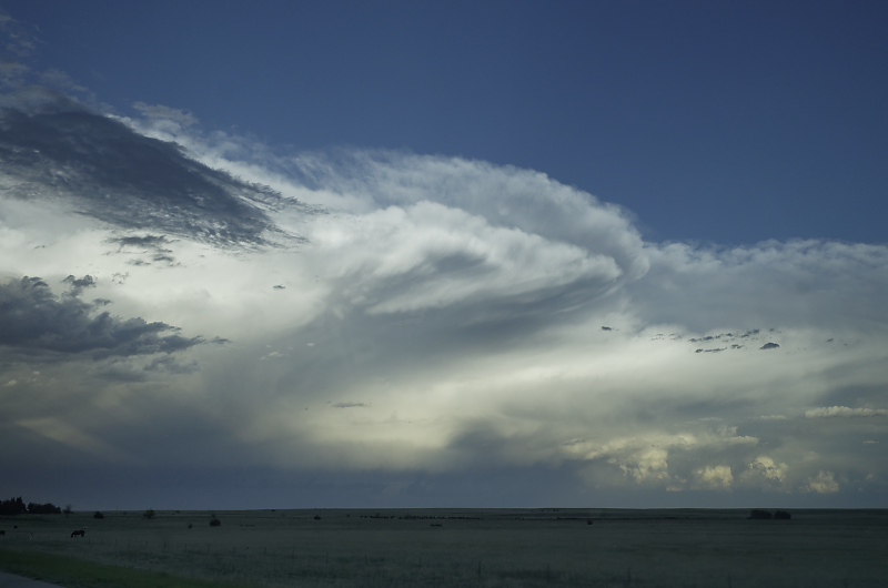
Amazing structure at the leading edge of the storm.
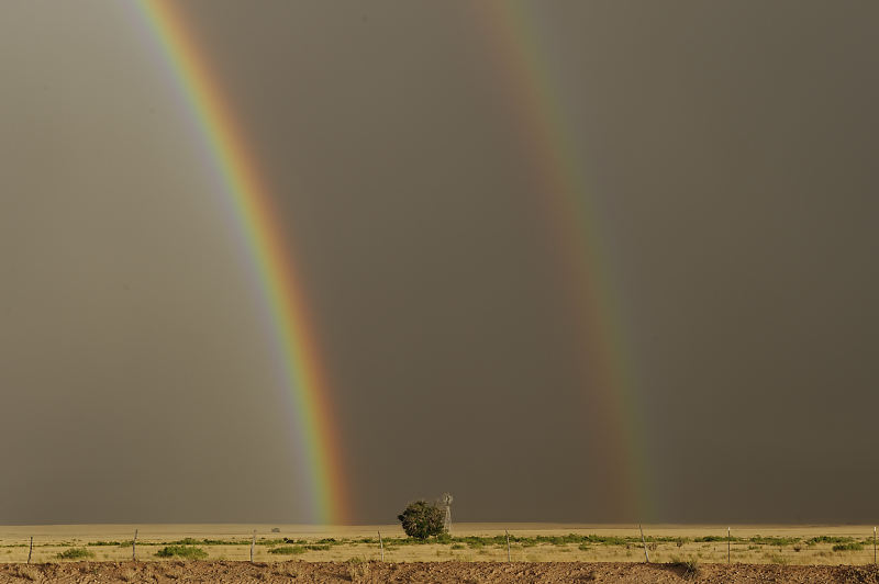
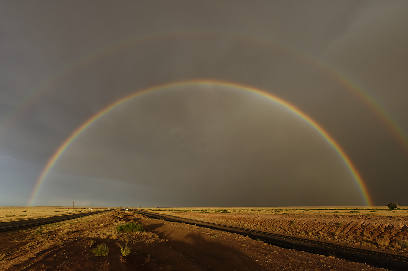
Behind the storm at sunset, we are treated to a fantastic double rainbow.
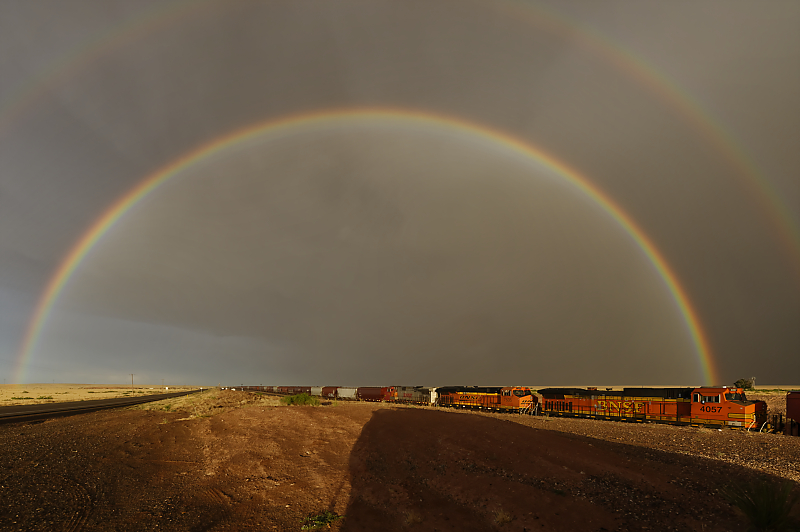
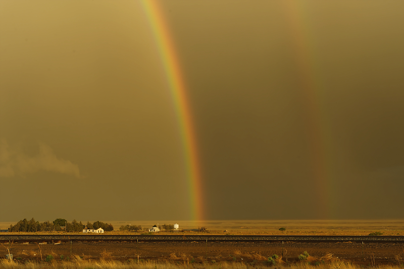
Train passes through a double rainbow.
Incredible view.
New Mexico ranch.
June 4: Northwest Kansas Storm
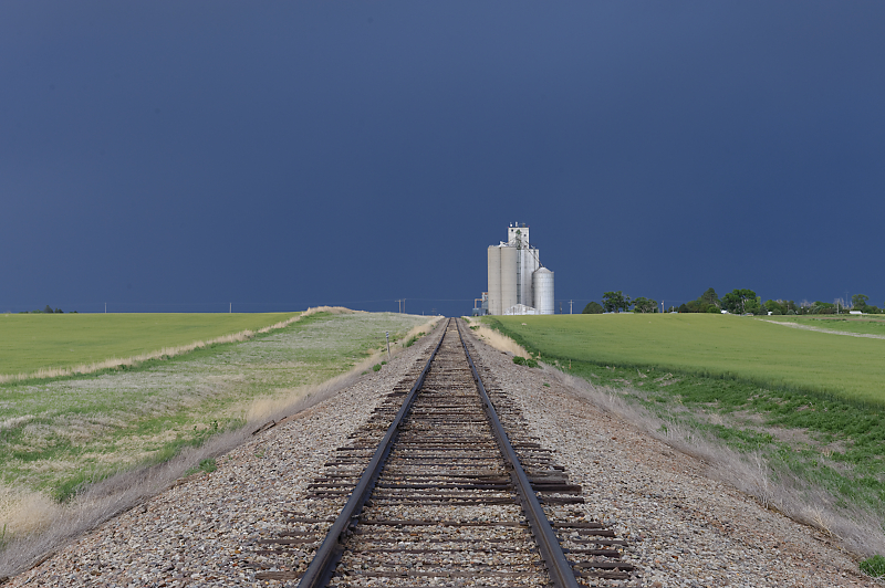
Anvils from a multi-cell thunderstorm in northwest Kansas.
Rain core is a couple of miles east of us.
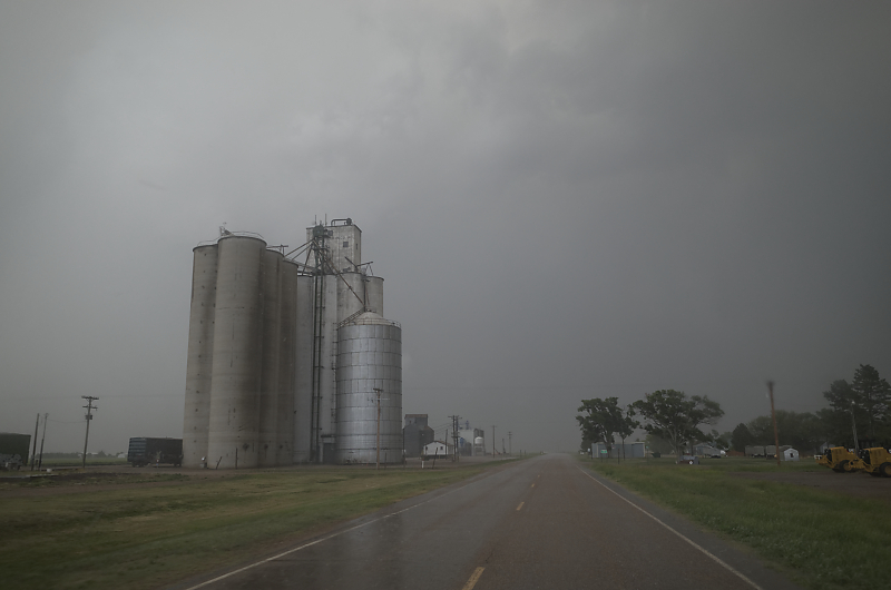
June 5: More Northwest Kansas Storms
Thunderstorm along the Colorado-Kansas border.
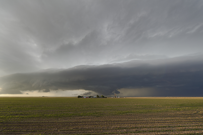
Severe thunderstorm north of Goodland, Kansas.
Looking northeast at the linear storm complex.
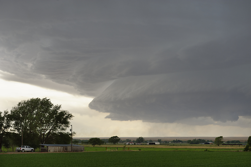
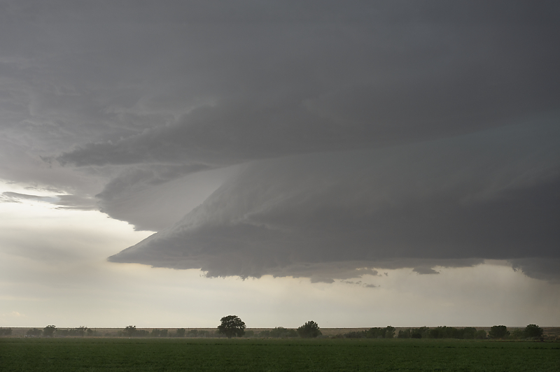
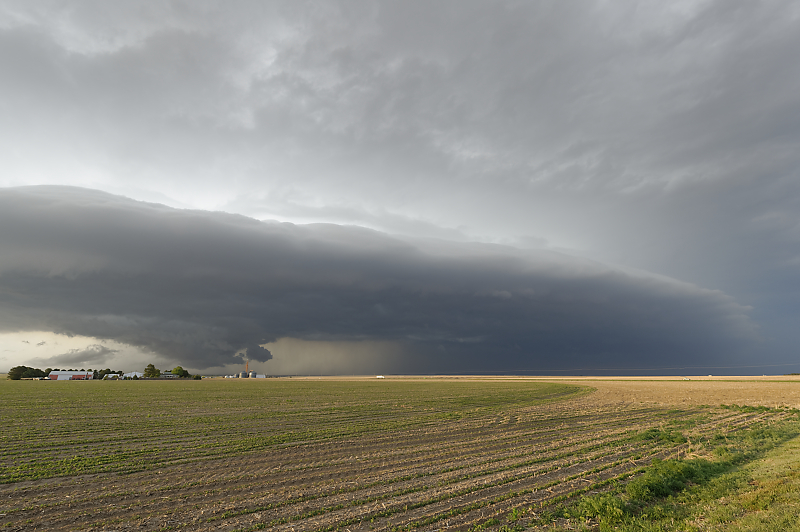
Lowering approaches a Kansas farm.
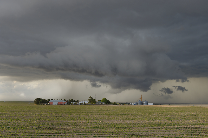
Zoomed-in view.
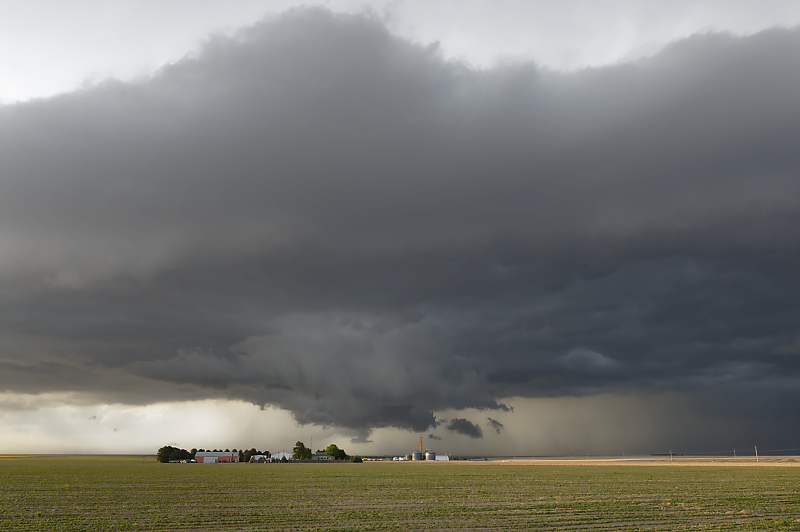
At sunset, we drive through the western edge of the storm. (I wanted to verify hail sizes designated on XM satellite radar. Conclusion: may be vastly overstated for outflow-dominated storms with intense rain cores. XM showed baseball-size hail; we drove across the supposed path and found no hail.)