May 30: Northern Oklahoma Storm
After Bill joins me in Lubbock, we are in southern Kansas two days later to watch for severe thunderstorms.
Storm develops late in the afternoon. We are hundreds of miles south of better dynamics, so we're grateful to see even a weak thundershower.
Storm passes just west of us as it weakens.
Bill's chase vacation is timed for a spell of zonal flow at the mid-levels of the atmosphere.
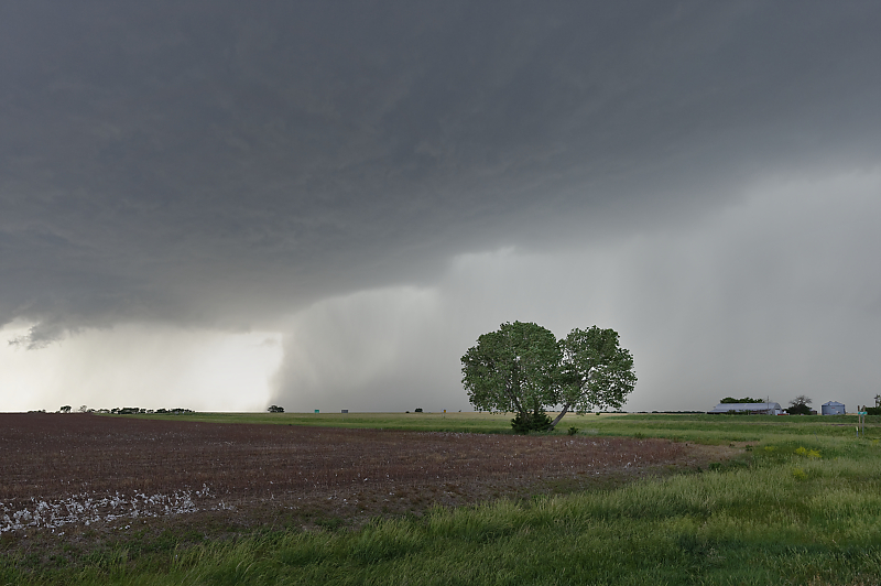
We couldn't reach the PDS Tornado Watch in Minnesota, but instead enjoy this high-based thunderstorm. ("PDS" is short for "Particularly Dangerous Situation").
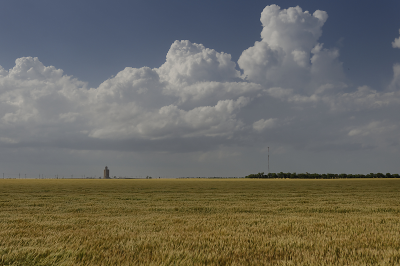
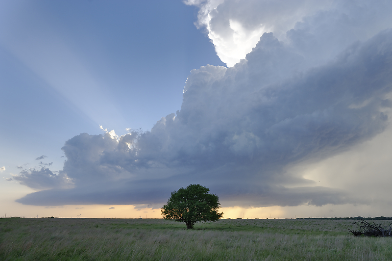
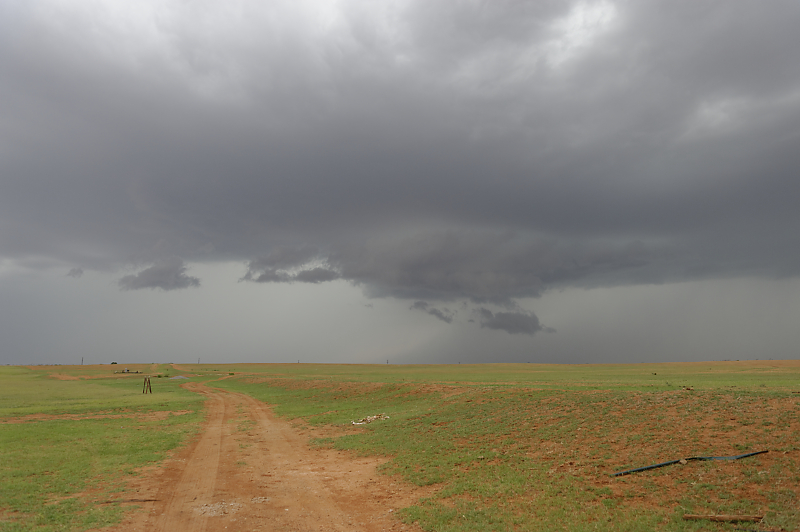
We drive to another storm to the south, in northern Oklahoma, and are surprised by this view of a beautiful updraft tower.
Bill enjoys his first day of storm chasing with this amazing little thunderstorm.
Another view.
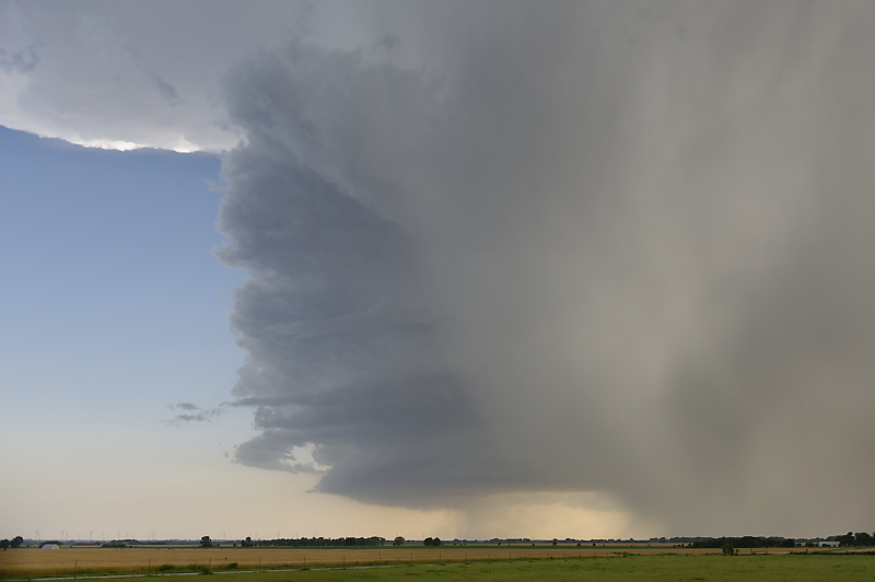
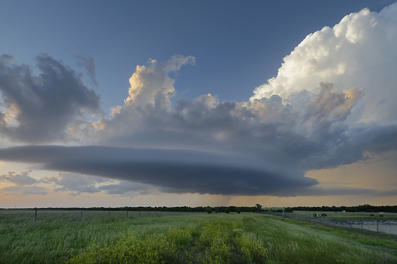
As sunset approaches, we watch the storm drift slowly east.
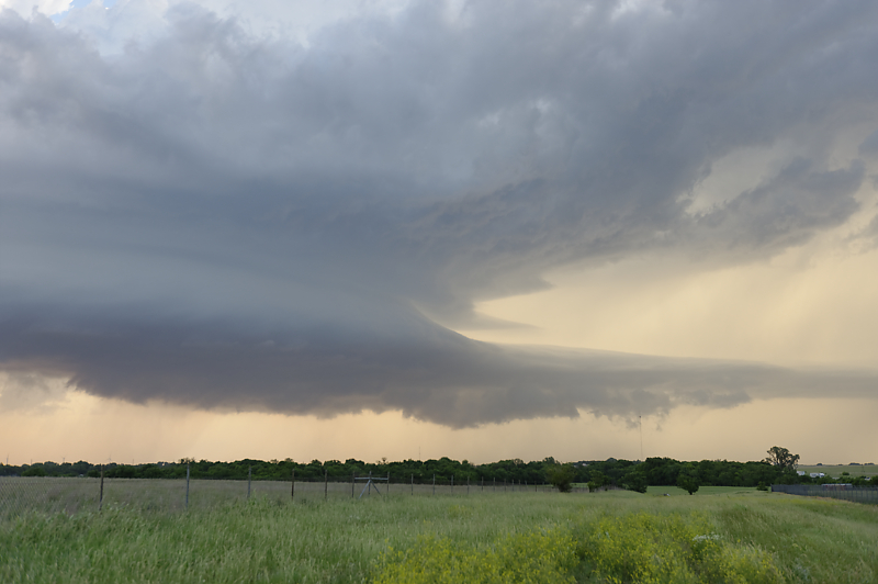
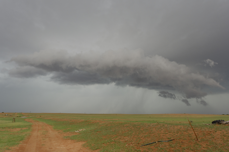
Beautiful structure in the updraft.
Storm weakens as the convective tower is blown east by mid-level winds.
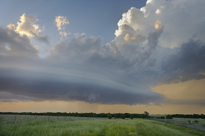
Closer view of the updraft base.
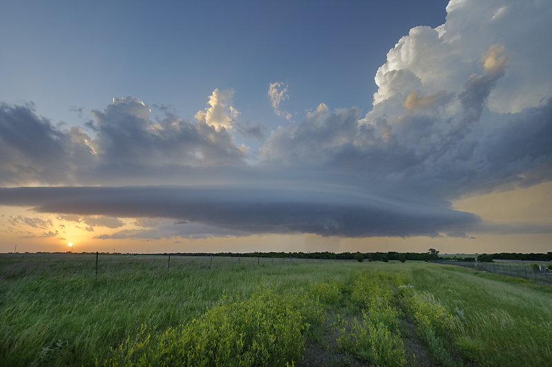
Wide-angle view at sunset.
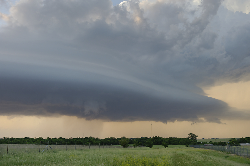
Eerie shape to the storm. Great way to spend Memorial Day!
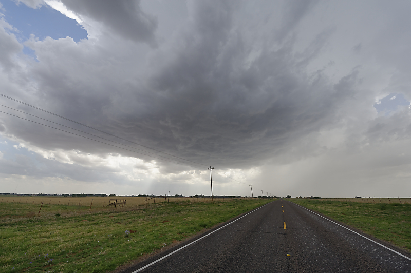
May 31: Northwest Texas Storms
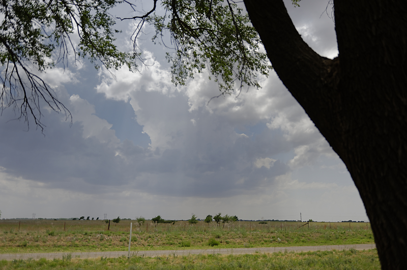
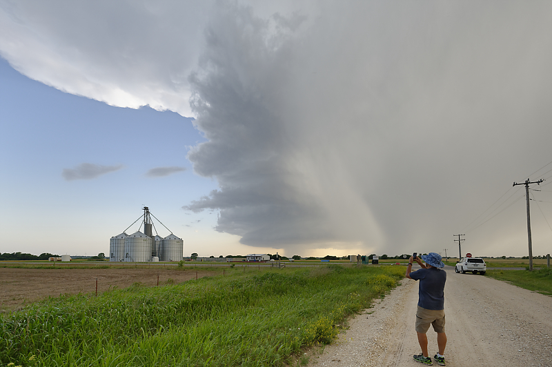
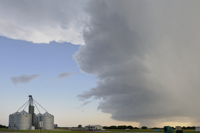
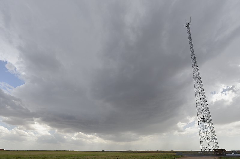
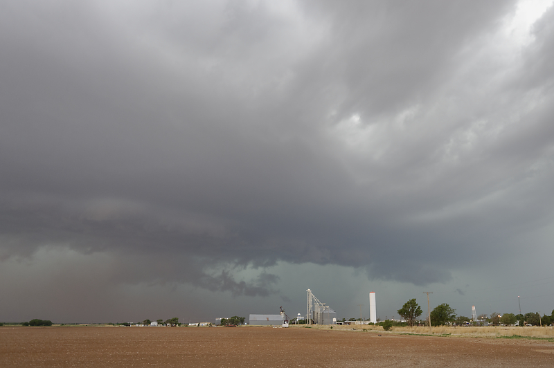
Updraft tower in the Texas Panhandle on a hot, humid afternoon.
We drive west on Highway 203 for a closer view.
Looking nearly straight up at the storm base (ultra-wide angle lens makes it look farther away).
Nickel-size hail chases us a mile east.
We watch the updraft move just to our north.
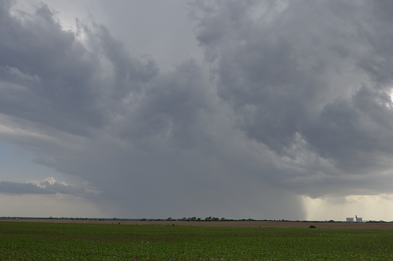
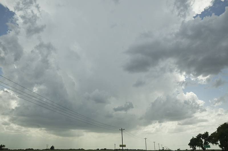
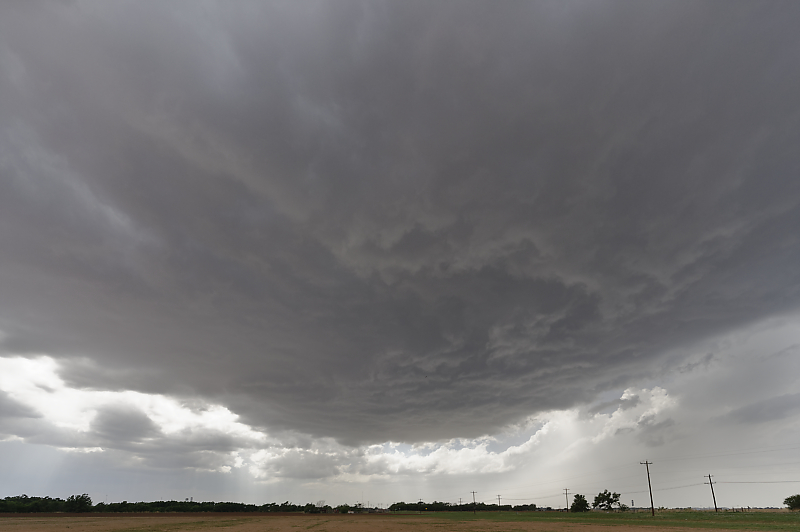
New multi-cell thunderstorm develops to our southwest.
Non-rotating wall cloud is embedded in the multi-cell complex.
Outflow from the rain core rips apart the wall cloud.
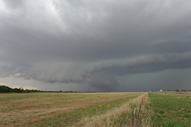
Stronger cell approaches from the southwest.
View from Highway 256 in the southeastern Texas Panhandle.
Updraft-downdraft interaction creates this ragged lowering.
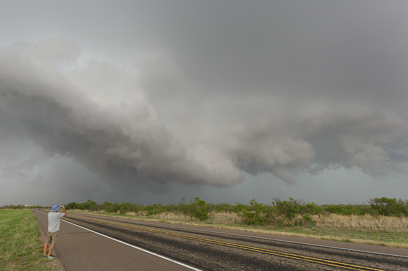
Bill gets close-up photos with his iPhone.
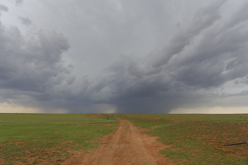
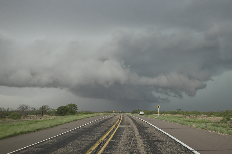
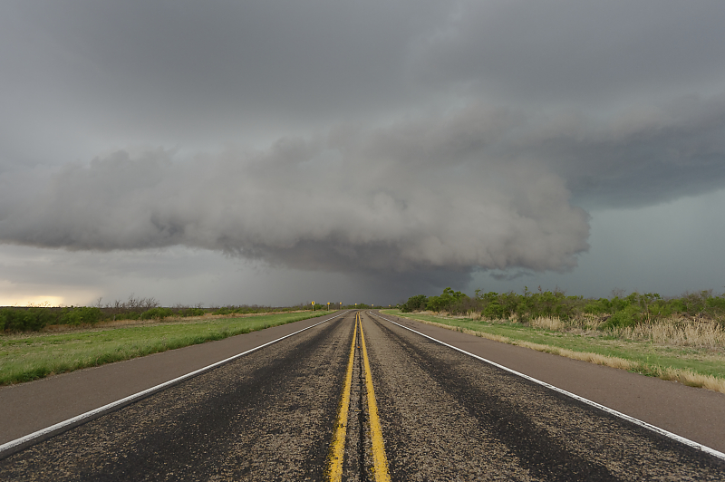
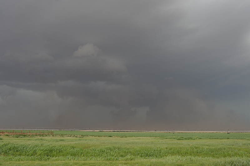
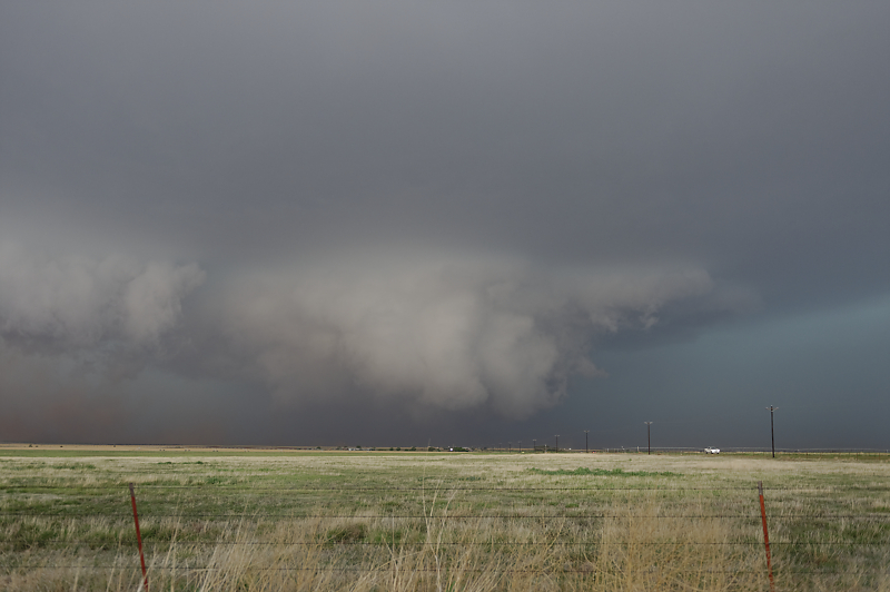
In southern Oklahoma, we stop for a view just ahead of an intense supercell.
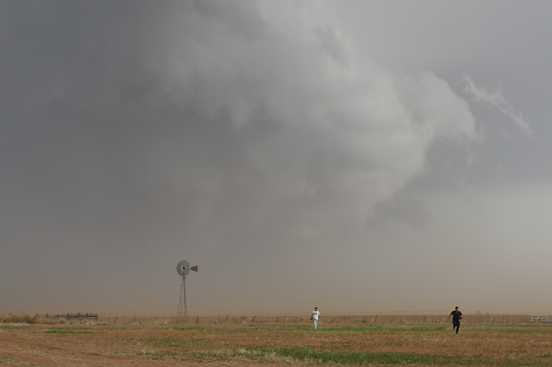
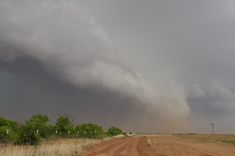
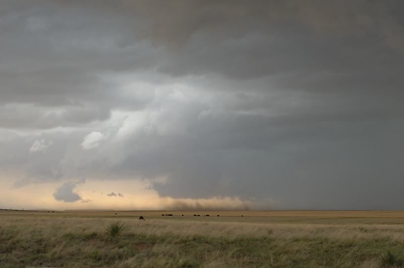
Storm chasers flee the dusty gust front (they were getting close-ups of the windmill).
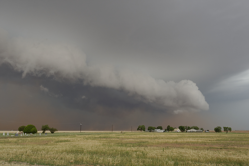
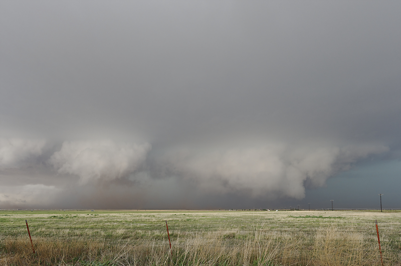
Storm crosses a southwest Oklahoma wheat field.
Closer view.
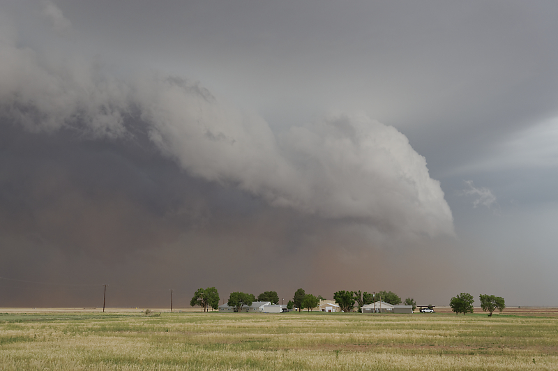
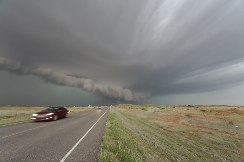
Hollis, Oklahoma, just ahead of the storm.
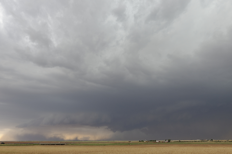
Looking north at the main updraft.
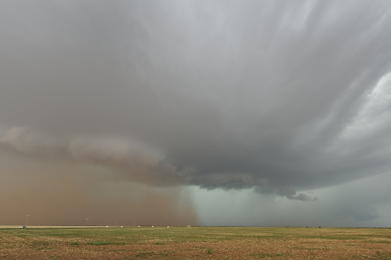
Tornado warning for this part of the storm, but dust obscures our view.
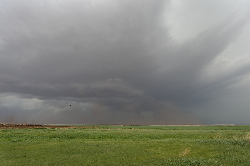
Southern flank of the storm.
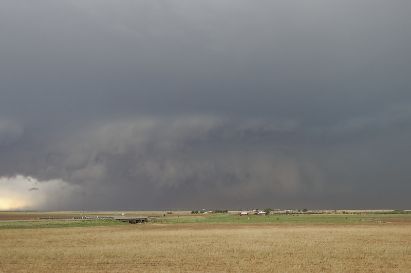
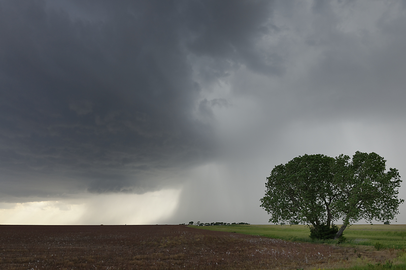
Intense thunderstorm near Gould, Oklahoma.
Dramatic clouds where the downdrafts interact with the updrafts.
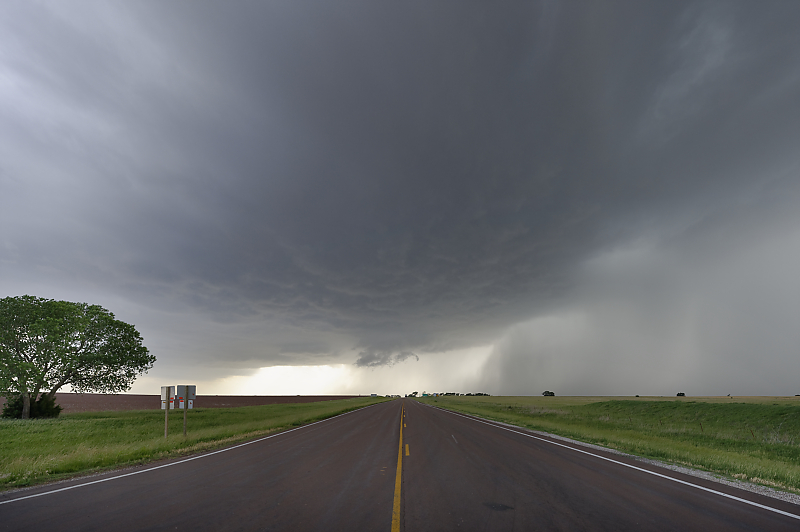
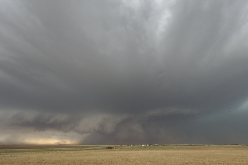
West of Duke, Oklahoma.
Wide-angle view.
Storm chasers need to keep moving to stay ahead of the storm.
Crossing another freshly plowed field.
Large, intense, multi-cell thunderstorm follows us south towards northern Texas.
View looking west as sunset approaches, ending a long afternoon and evening of close encounters with severe thunderstorms.