May 4: Northwest Texas Tornadic Supercell
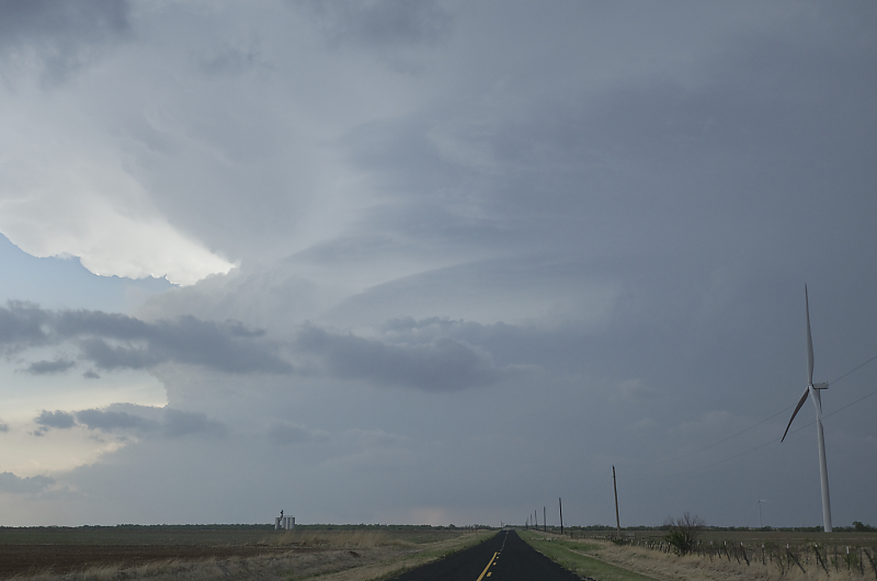
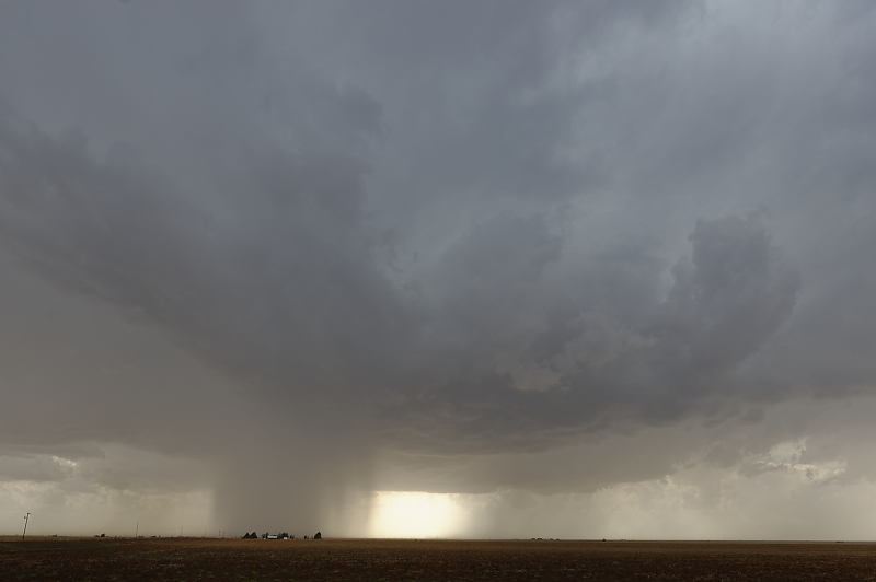
Intense supercell in northwest Texas.
Powerful updraft shows signs of rotation.

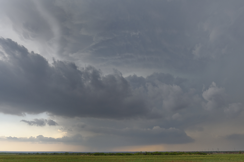
Brief tornado a few miles to my southwest. The storm is gaining strength as it approaches.
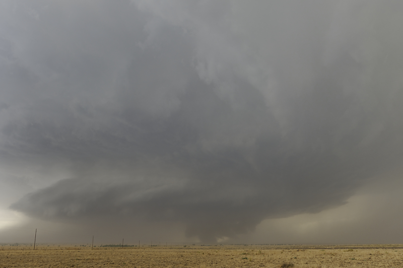
Ragged wall cloud to my northwest (when the storm hinted at turning right, I moved south a mile).
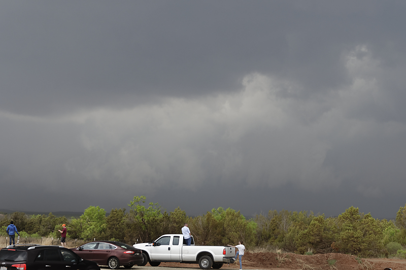
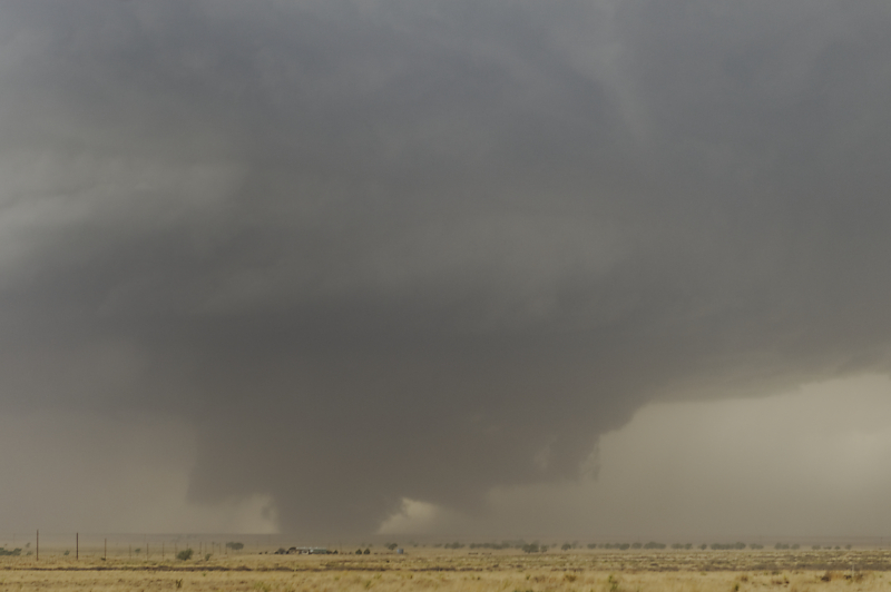
A few minutes later, a tornado forms under the wall cloud.
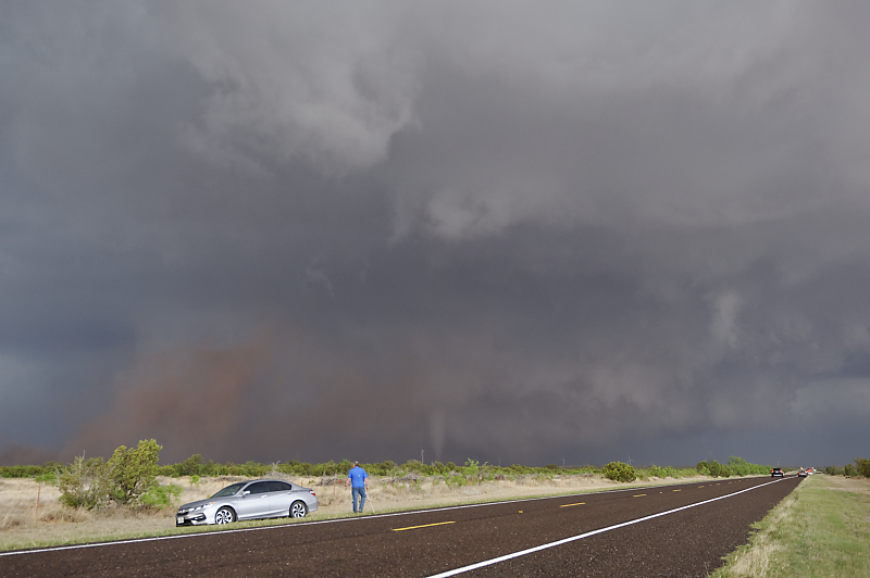
Wide-angle view.
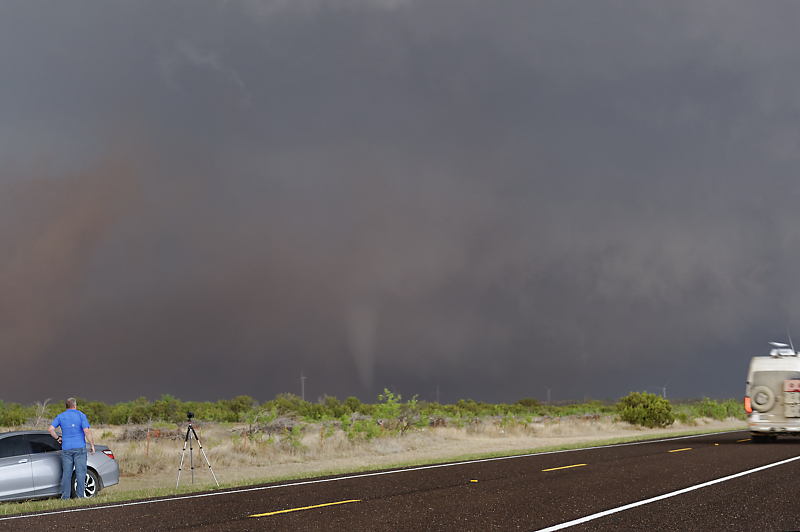
Dozens of vehicles pass me to get closer to this tornadic storm.
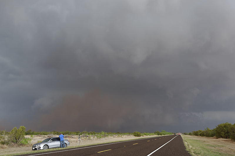
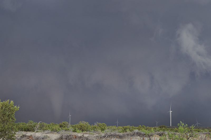
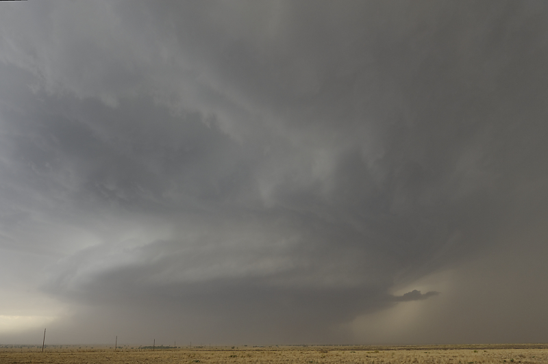
Last view before the tornado lifts. I end the chase due to massive chase crowds, limited road options and approaching sunset.
May 7: Nebraska Thunderstorm
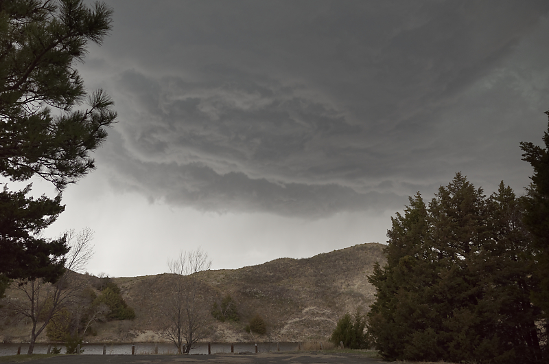
From my campground in northwest Nebraska, I watch this turbulent cloud base.
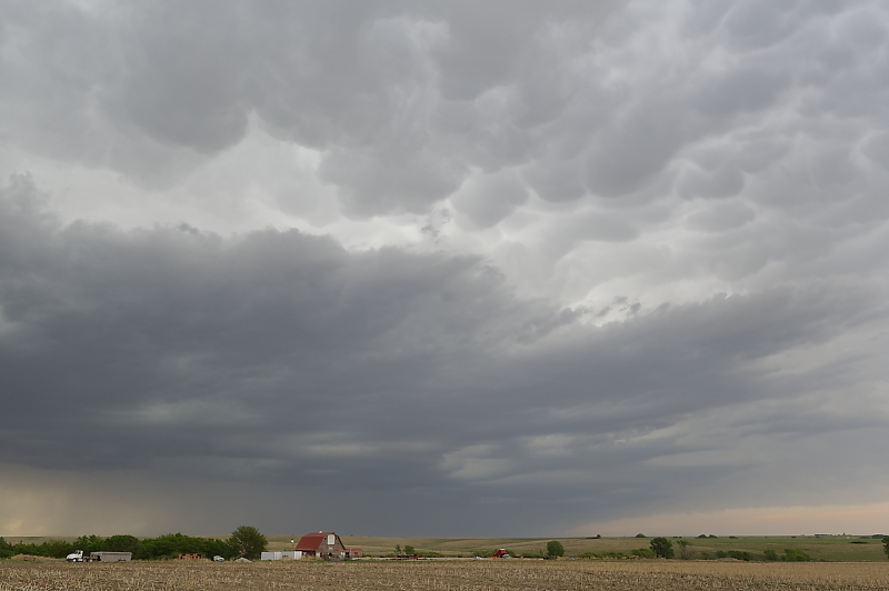
May 11: South Dakota Thunderstorm
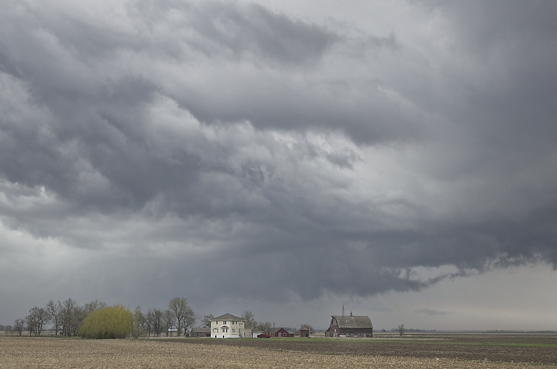
Heat wave forces me to the northern Plains to find storms. Messy thundershowers today, but a scenic farm.
May 12: South Dakota Derecho
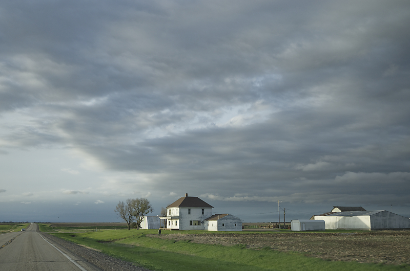
South Dakota farm. High potential for supercells and tornadoes today (spoiler alert: squall line instead).
Great dynamics in eastern South Dakota, but intense squall line forms early in Nebraska. Massive anvil spreads over eastern half of South Dakota, shutting down supercell potential. I head south to intercept the squall line.
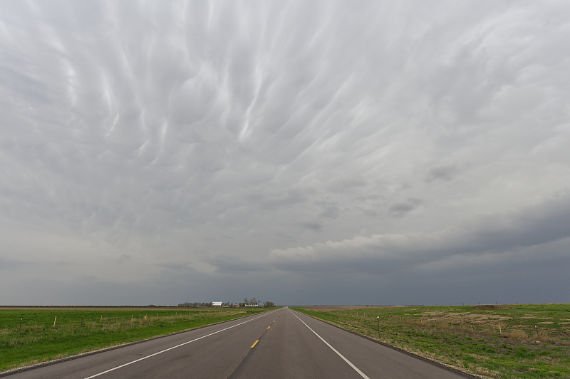
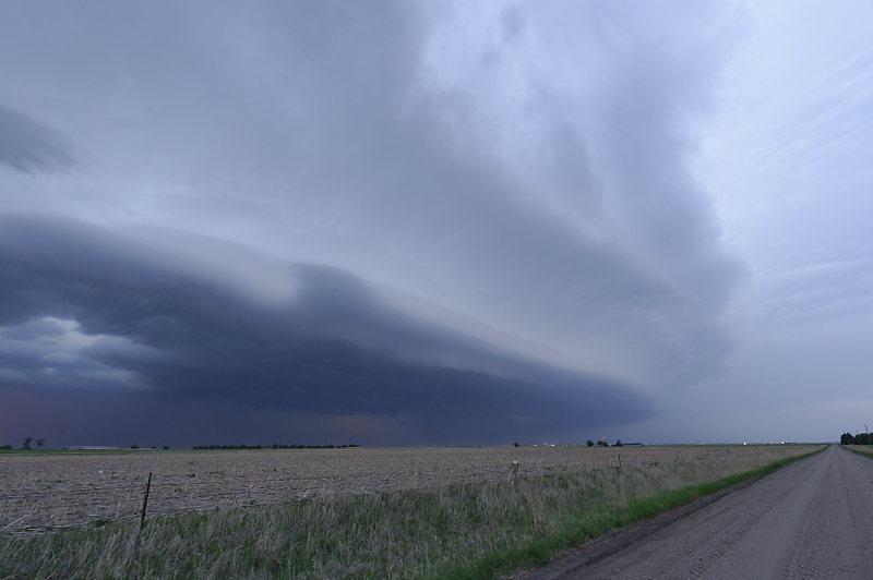
Squall line reaches me along Highway 212 north of Huron.
Shelf cloud moves quickly north-northeast. Winds are light from the southwest.
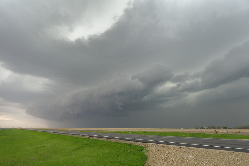
Looking back to the west. Winds start to increase.
One last look to the west. I find a nearby empty lot to wait out the storm. Winds keep increasing until I need to turn my car into the wind for safety. Nearby airport records 90 mph gust! This was northwestern part of huge derecho that caused damage across eastern South Dakota.
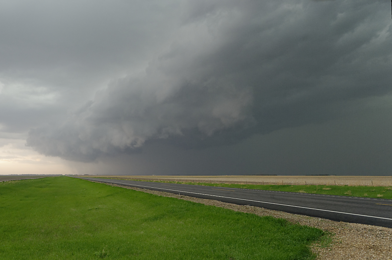
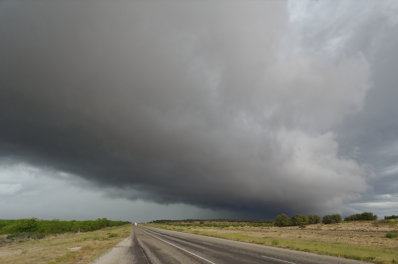
May 17: Kansas Squall Line
Weak squall line in northern Kansas.

Ragged updraft north of Hill City, Kansas.
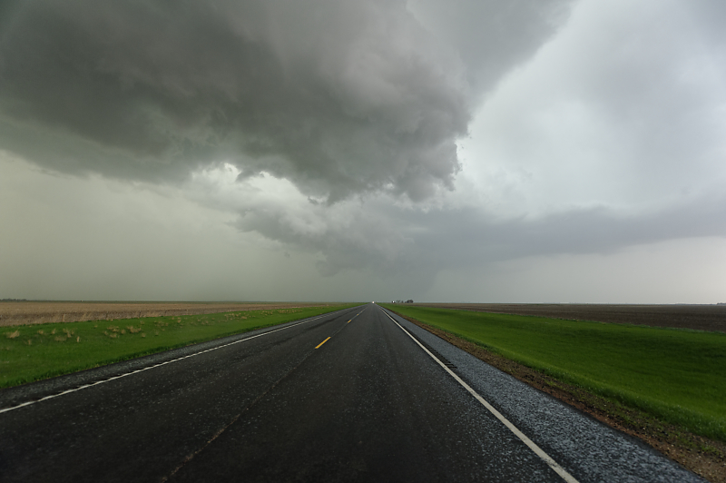
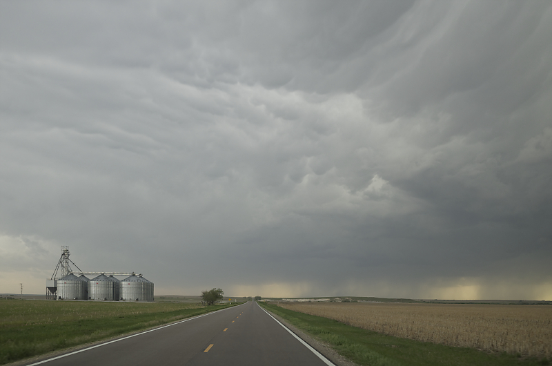
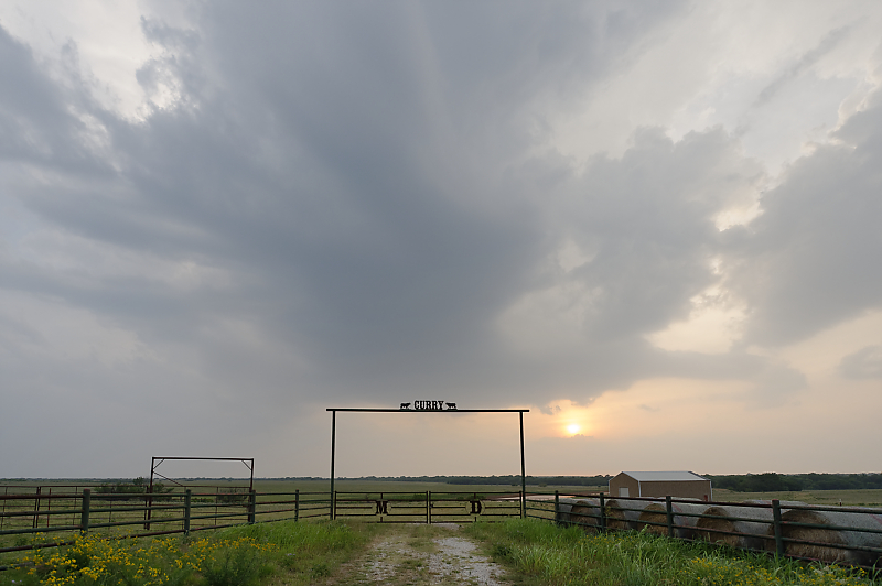
Farm along Highway 283.
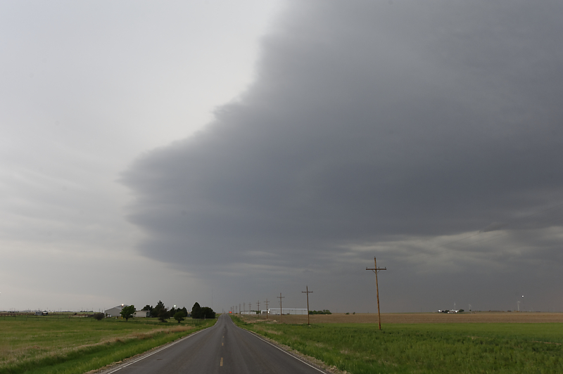
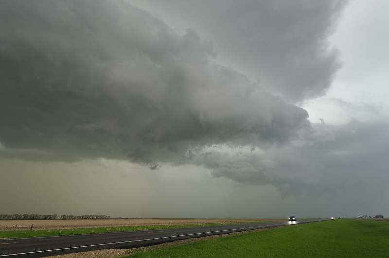
North of Hays, Kansas, the leading edge of the squall line passes over me, accompanied by a shift from warm southerly winds to strong, cool northerly winds.
Squall line at dusk near Russell, Kansas.
May 20: North Texas Thundershower
Thunderstorm near Henrietta, Texas.
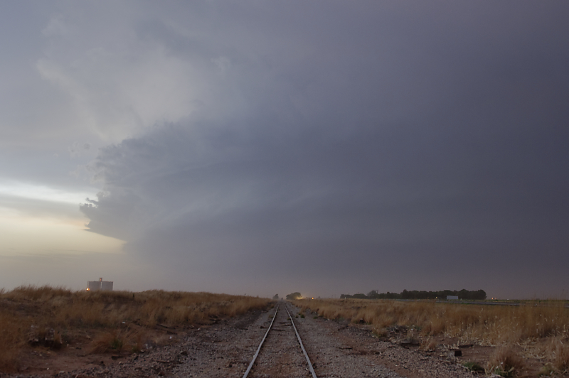
May 23: West Texas Tornado
Thunderstorm strengthens in west Texas.
Supercell and tornado northwest of Lubbock, Texas.
Dust fills the air due to strong southeast winds across freshly plowed fields.
Clear signs of rotation in this powerful thunderstorm.
Staying ahead of the storm.
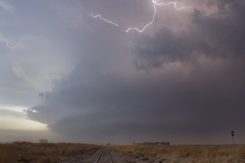
East of Levelland at dusk.
May 24
Central Texas squall line. Today's excitement was driving through a thunderstorm with nickel-size hail.