April 3
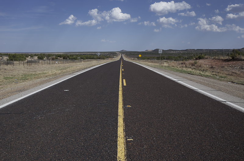
Heading into the Great Plains for another storm chase season.
Low-topped thunderstorm in northwest Texas.
April 15
Evening convection near Tulsa, Oklahoma. But thunderstorms don't develop until after dark.
April 20
Dryline convection in northeast Oklahoma. Once again, thunderstorms don't develop until after dark. Very slow start to the storm chase season!
April 21: Southwest Kansas Thunderstorms
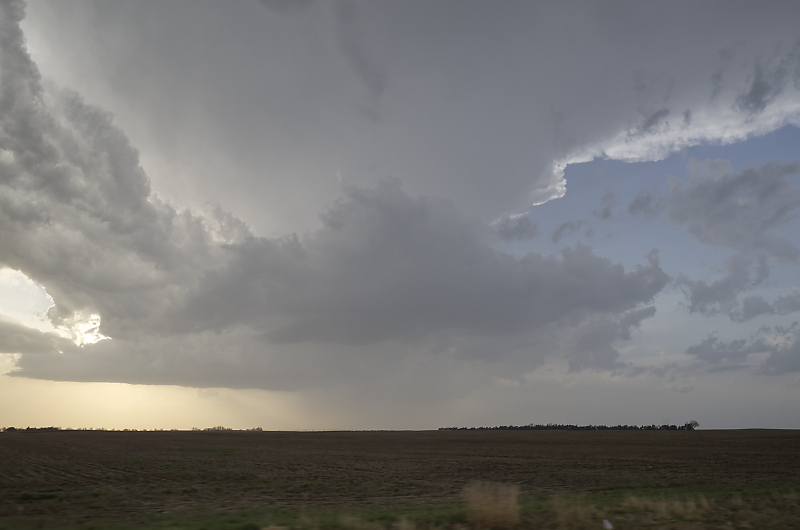
Storm tower in southwest Kansas.
Another, much stronger storm is an hour north of me.
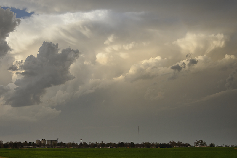
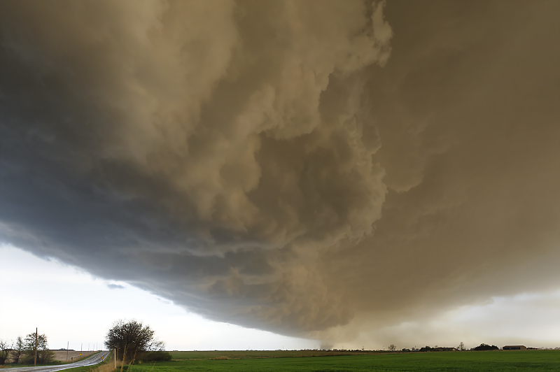
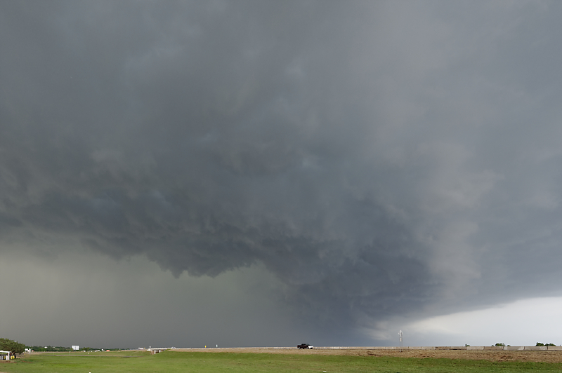
April 22: Oklahoma Panhandle Thunderstorms
Today, an intense storm system fills the air with dust. This small cell dropped golf-ball size hail over Guymon as it raced north-northeast at 50 mph.
April 23: Oklahoma Storm
I finally intercept a scenic thunderstorm north of Lawton, Oklahoma.
Leading edge of storm northeast of Lawton takes on a beautiful updraft structure.
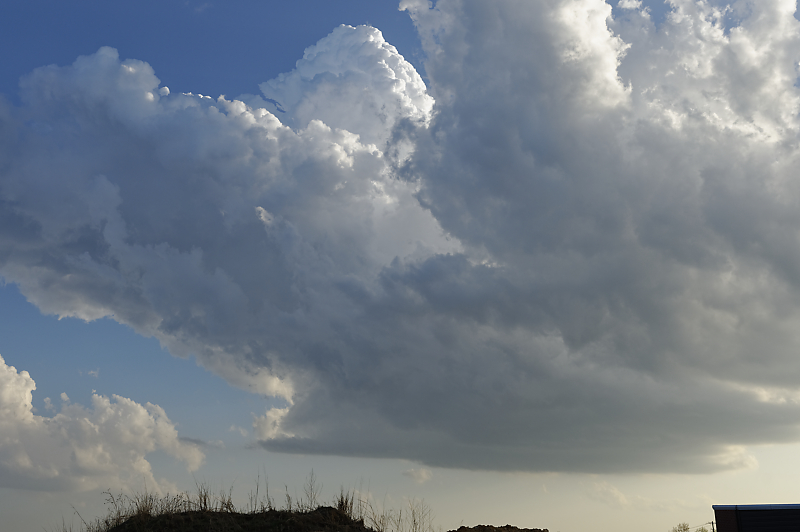
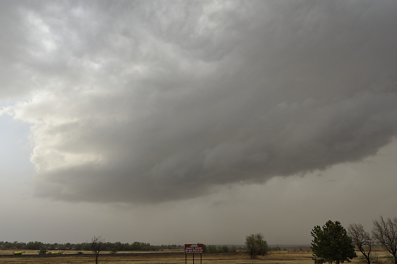
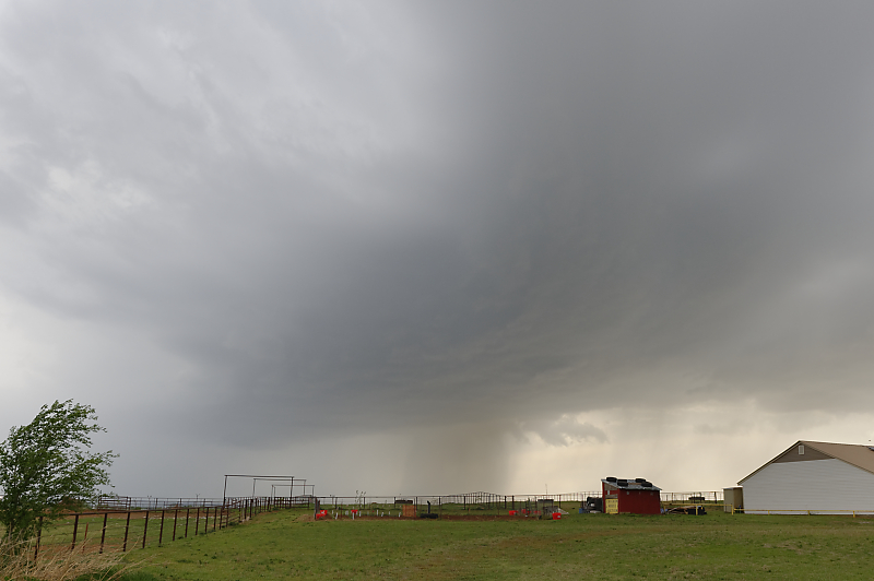
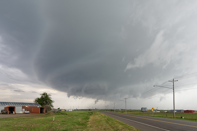
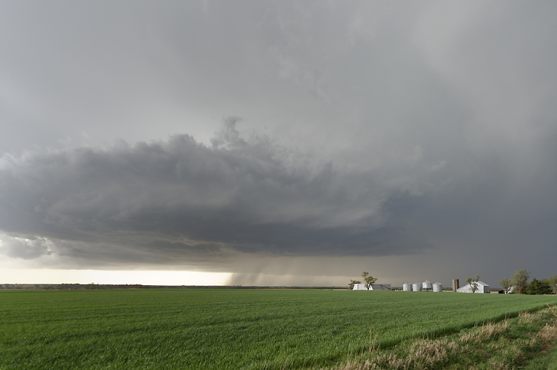
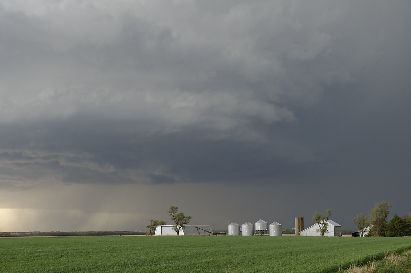
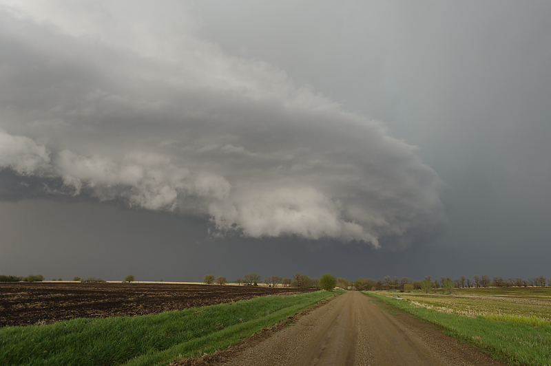
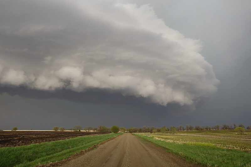
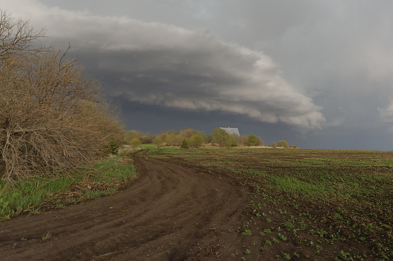
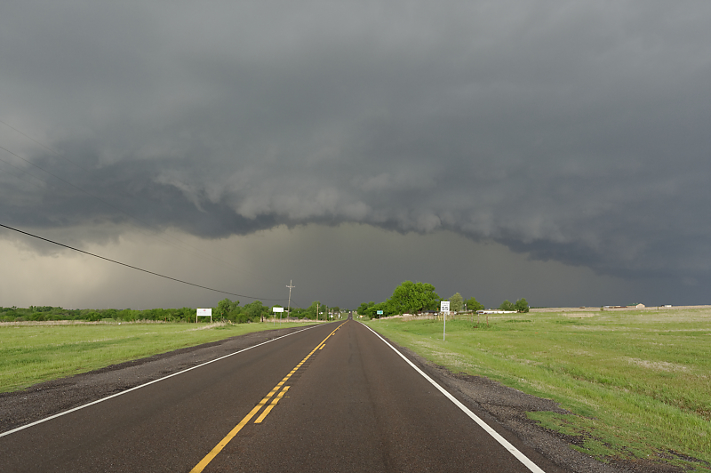
April 27: Oklahoma Panhandle Storm
Ominous sky in the Oklahoma Panhandle.
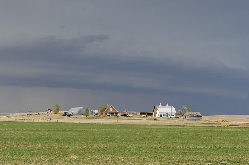
Shelf cloud approaching an Oklahoma farm.
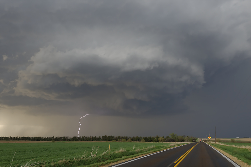
April 29: Central Kansas Supercell
Thunderstorm develops along the dryline east of Salina, Kansas.
As I'm driving to stay with the storm, it produces a brief tornado. This view is a few minutes later.
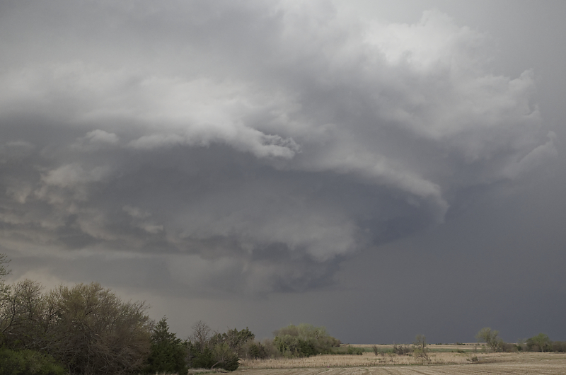
Supercell moving north near the town of Hope, Kansas.
Supercell and wall cloud along Highway 43 in central Kansas.
Tracking just south of the wall cloud. Usually I stay ahead of the mesocyclone, but this would put me in a hazardous situation: the only easterly paved road is closed due to construction. (#1 rule: clear escape route from a dangerous storm.)
South of Chapman, Kansas (really!) as I let the storm move away from me.
Rear-flank downdraft (RFD) passes in front of me.
Another view of the storm as it heads northeast, eventually producing another tornado.
Under an intense squall line. Funnel-looking cloud is dust kicked up by a strong downdraft.
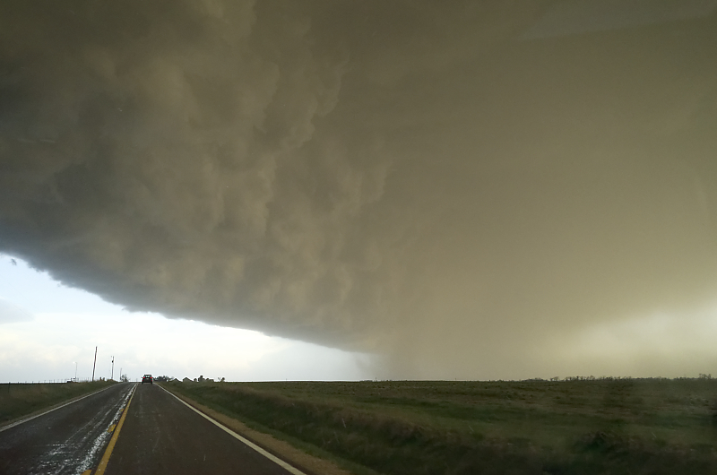
The rain core (center right) includes golf-ball size hailstones (which add to my 4Runner's many hail dents).
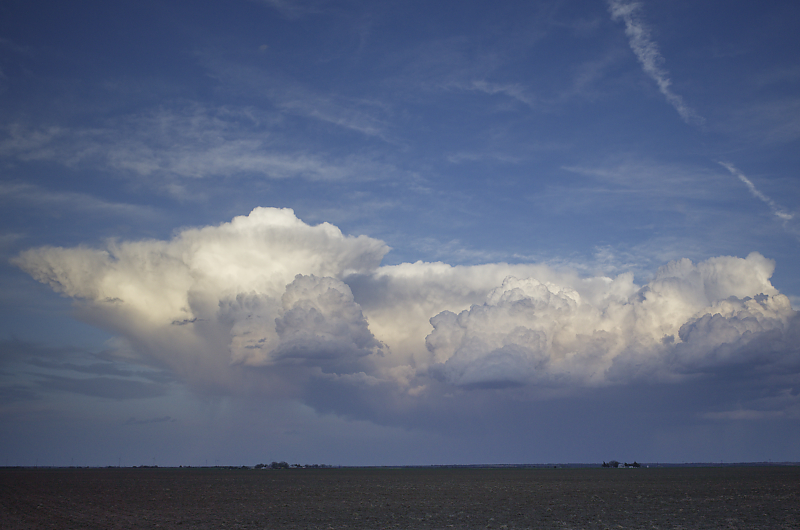
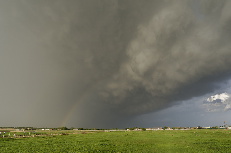
May 1: Southwest Texas Storm
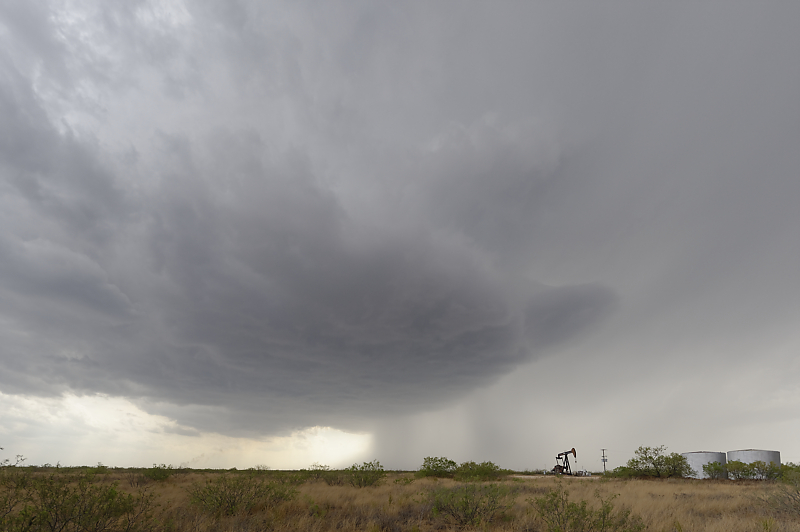
Thunderstorm in the Permian Basin in southwest Texas.
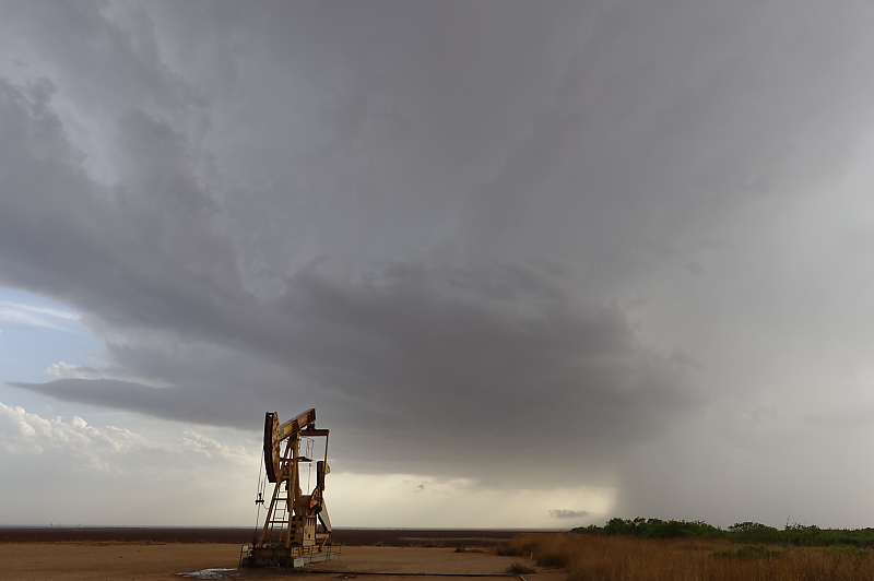
Good view of updraft and downdraft in this small storm.
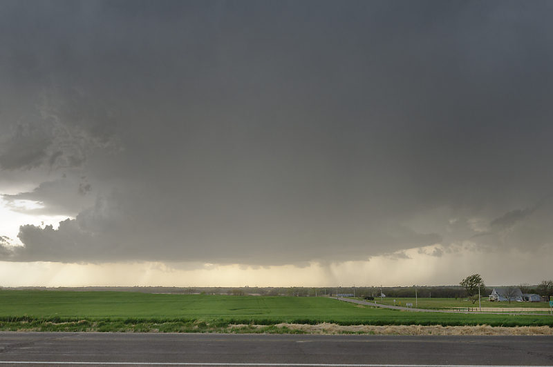
May 2: Central Oklahoma Squall Line
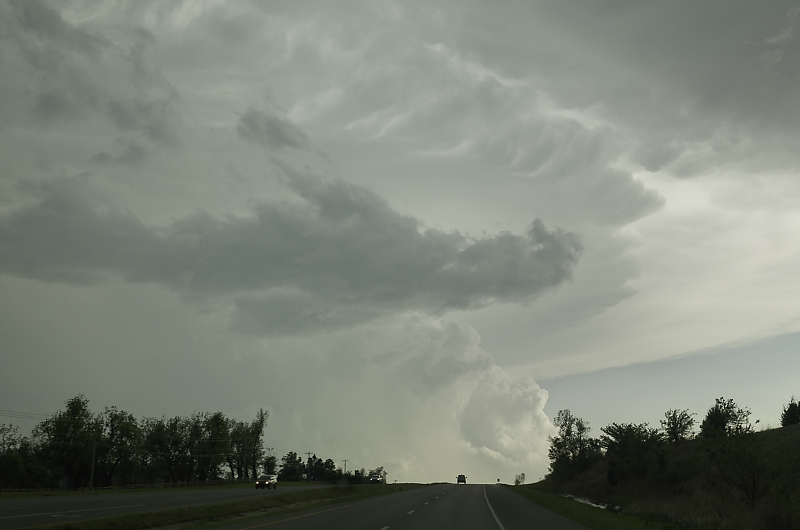
Thunderstorm near Oklahoma City.
Squall line near Minco, Oklahoma.
The storm follows me south on Highway 81 to Chickasha.
View from under the shelf cloud at sunset.