May 30: More Roswell area storms
Two days later, we are back to the Roswell, New Mexico area to intercept a supercell.
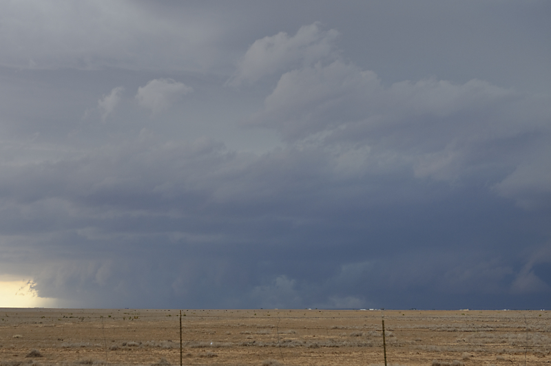
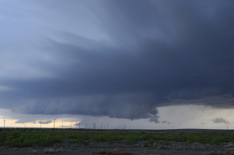
HP Supercell just west of Dexter, a little south of Roswell.
Looks more like a Great Plains storm.
Wide-angle view.
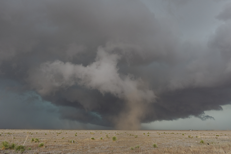
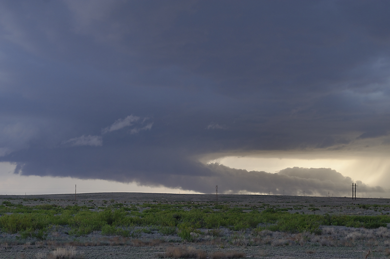
Gustnado under turbulent clouds at the leading edge of the storm.
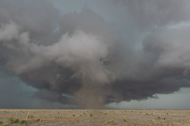
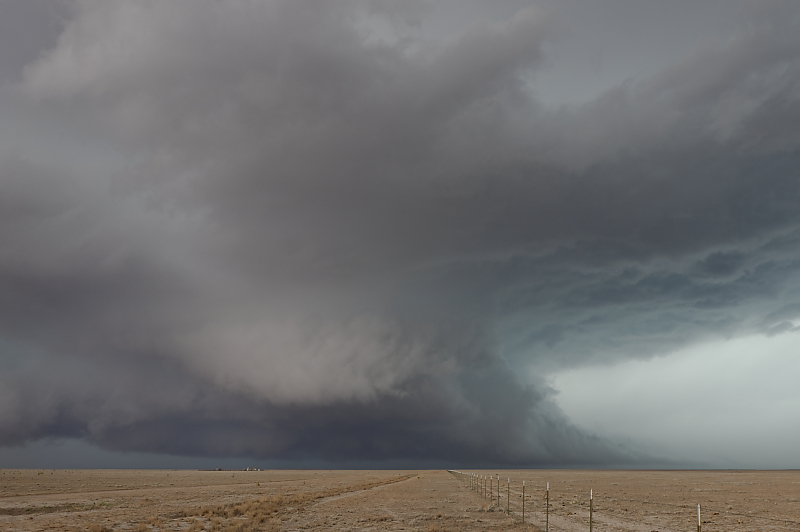
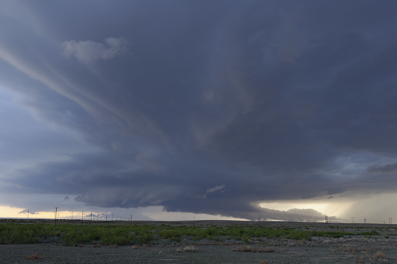
Incredible structure.
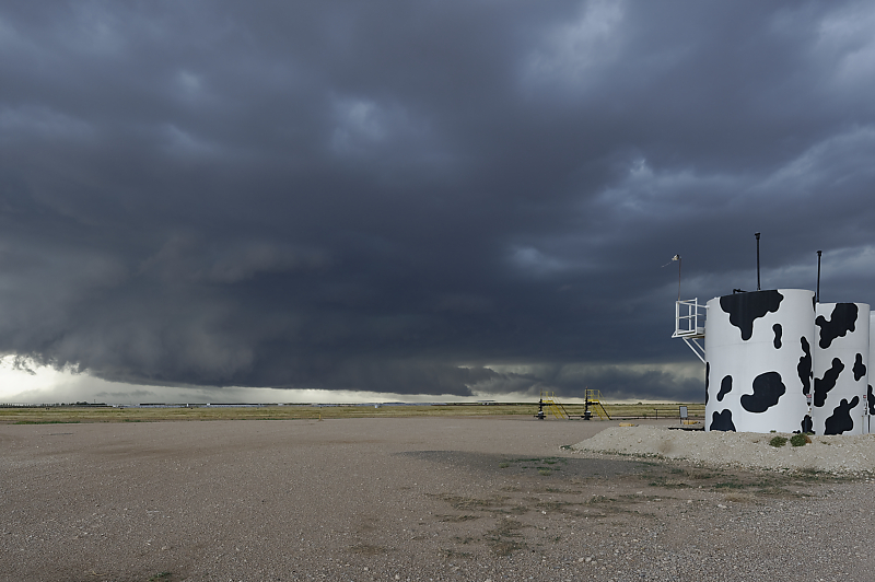
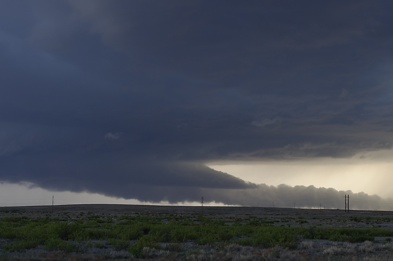
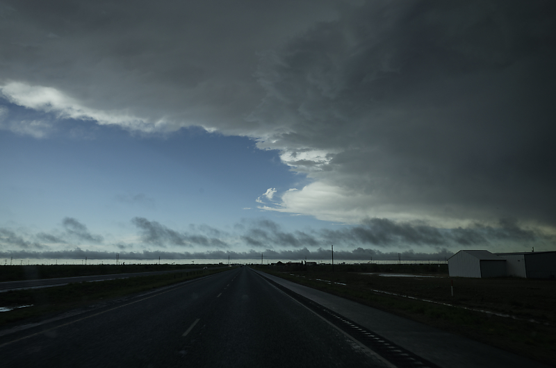
Outflow soon takes over and the storm weakens. This is the leading edge of the cool gust front.
Second storm develops near Artesia, New Mexico.
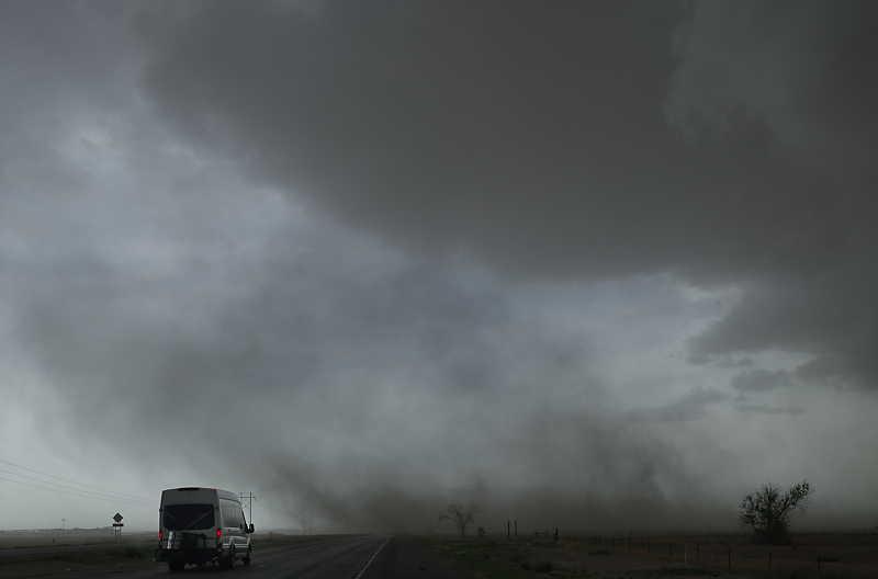
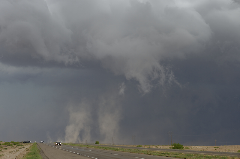
Van drives through dust cloud at leading edge of gust front ahead of the storm.
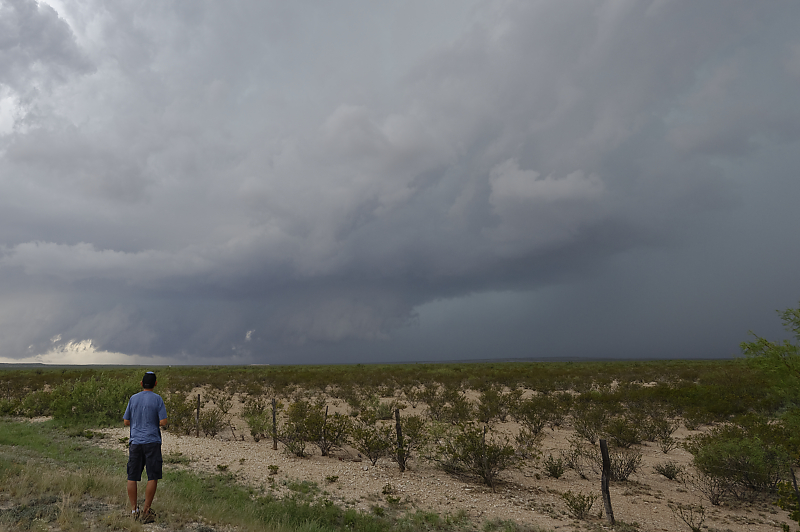
Third storm of the day develops near Lakewood, New Mexico.
Another beautiful storm.
It's unusual for me to see scenic severe storms this far west.
Shelf cloud soon develops.
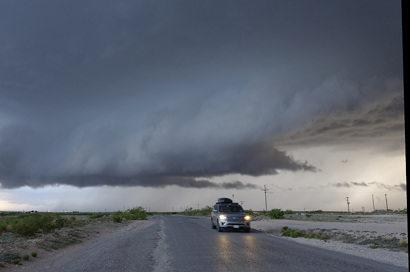
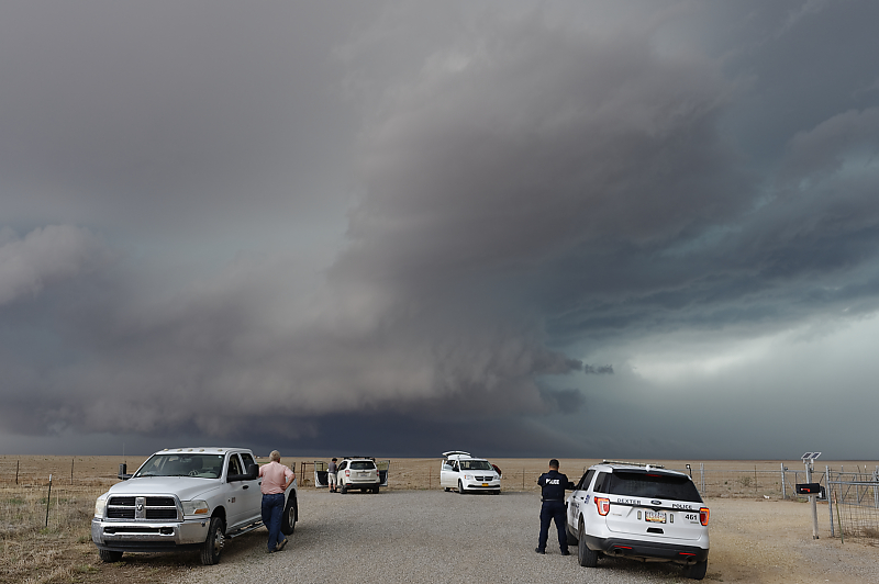
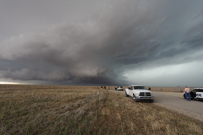
Storm chaser staying ahead of the gust front.
May 31: Southwest Texas Storm
Thunderstorm south of Ft. Stockton, Texas.
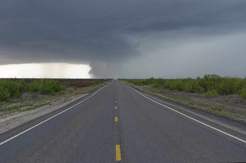
Squall line northeast of Barstow, Texas.
End of Bill's first storm chase vacation. We were fortunate to see thunderstorms on 13 of 17 days, including 5 days with supercells.