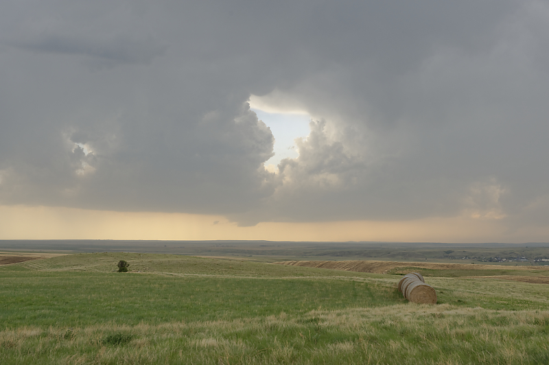
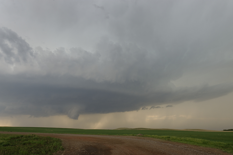
June 7: Cheyenne Thunderstorm
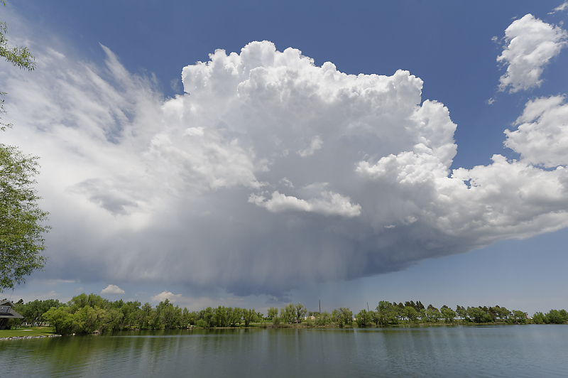
Thunderstorm over Cheyenne, Wyoming.
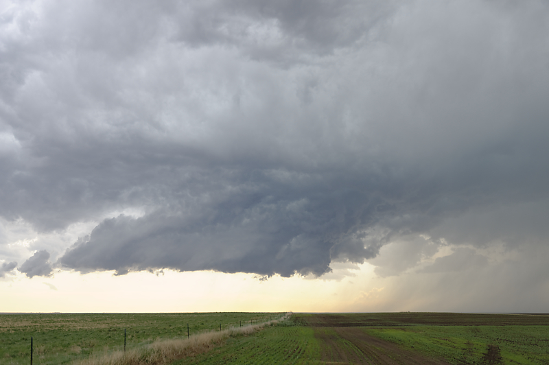
June 8: Eastern Montana Thunderstorms
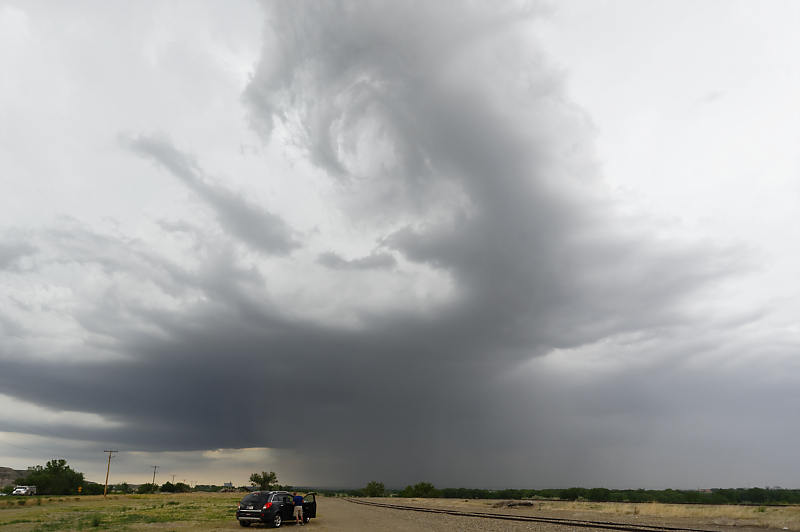
Thunderstorm develops near Glendive, Montana.
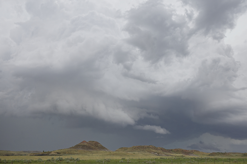
Unique scenery of far eastern Montana.
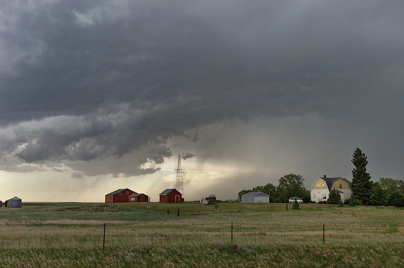
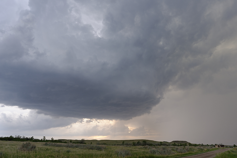
Storm over a cattle ranch.
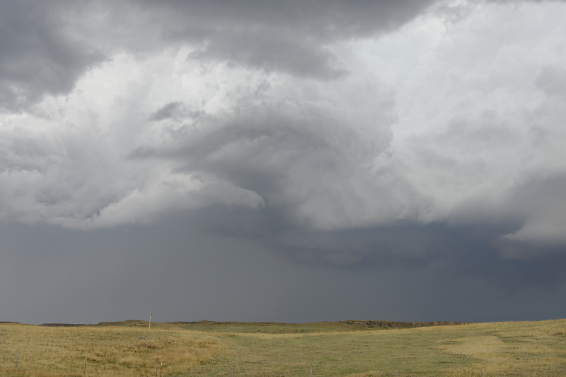
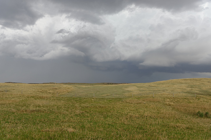
Storms quickly becomes outflow dominated due to hot surface temperatures and weak wind shear.
Storm over a cattle ranch.
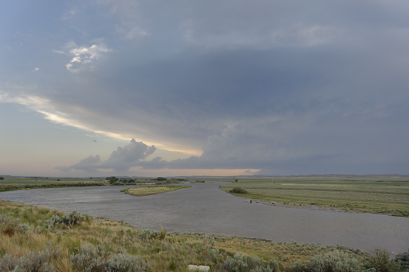
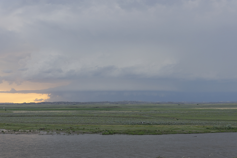
Back to the southwest, an evening storm approaches. The Yellowstone River is in the foreground.
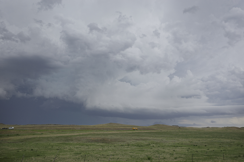
Squall line soon develops.
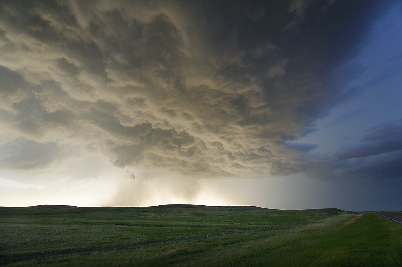
June 10: Northern Plains Thunderstorms
Line of convective cells develops over northeastern Montana.
Small storm cell over northwestern North Dakota.
Ranch north of Grenora, North Dakota.
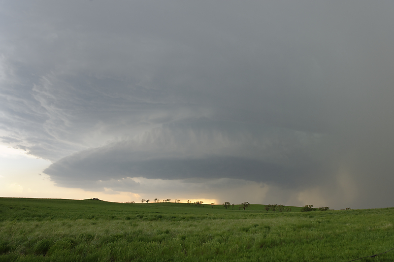
Beautiful rotating supercell in western North Dakota. I'm a little late for the tornado (although I saw it from a distance).
New funnel cloud forms as the storm moves slowly north.
Behind a line of thunderstorms at sunset.
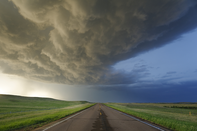
Looking north on Highway 16 in far western North Dakota.
New cell develops just west of my campsite. This has turned out to be a very active season. Not many intense supercell days, but a wide variety of storms. Chasing with Bill, a neighbor of ours, was also a great experience.