May 20: Wyoming/Nebraska Thunderstorms
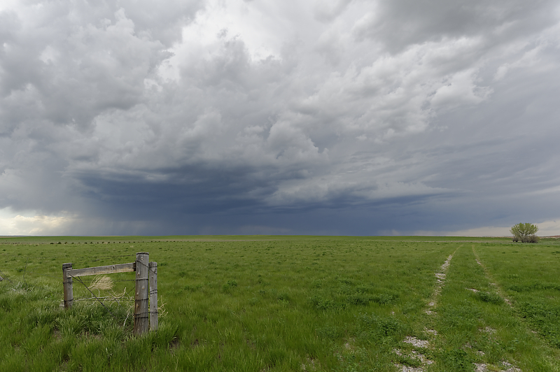
Thunderstorm in southeastern Wyoming.
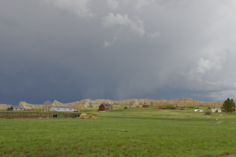
Idyllic town of Van Tassell, Wyoming. This is an artist's perspective: I used Photoshop to eliminate power lines.
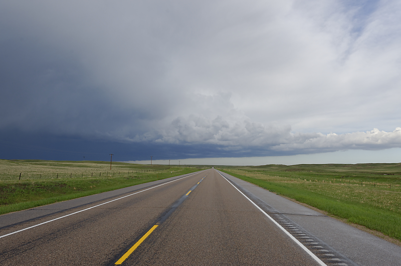
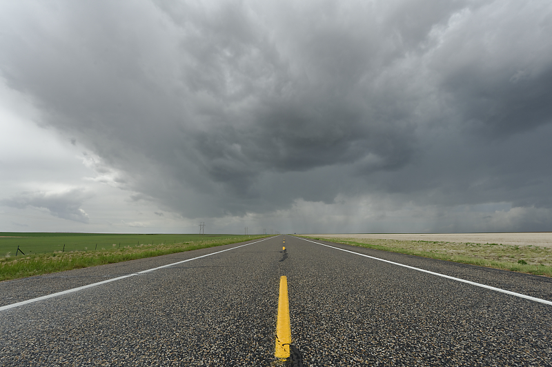
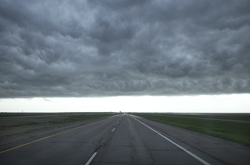
Open highway in far northwestern Nebraska. Nothing severe today, but wonderful High Plains scenery in eastern Wyoming and far northwestern Nebraska.
May 21: Colorado/Nebraska Thunderstorms
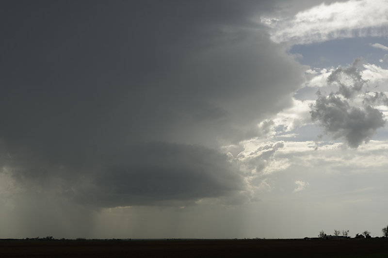
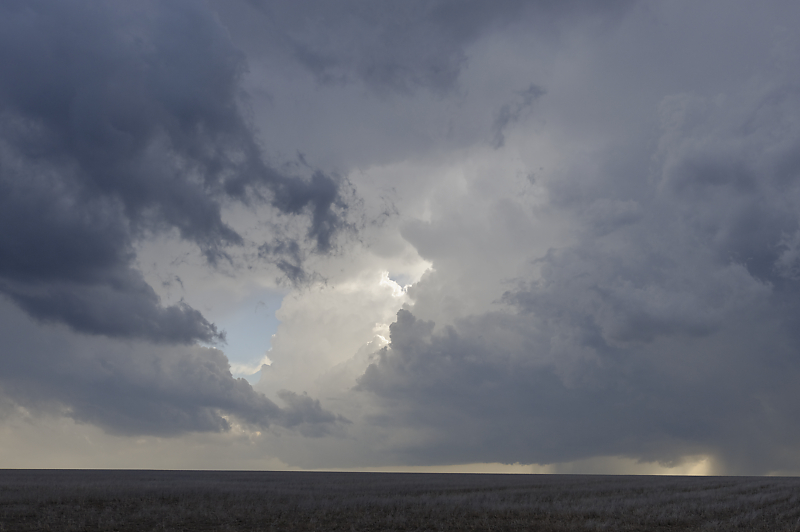
Storm develops southwest of Sterling, Colorado. Cells formed and moved quickly north until crossing a cold front and weakening.
South of Sidney, Nebraska at sunset.
May 22: Eastern Colorado Supercell
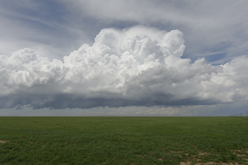
Early afternoon thunderstorm near Last Chance, Colorado.
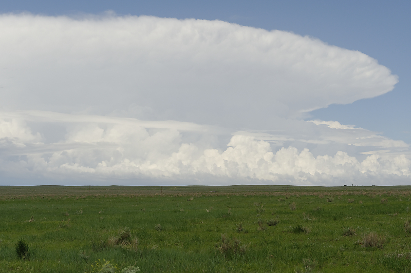
New thunderstorm developing just west of Last Chance, Colorado.
Looking northeast at thunderstorm complex near Sterling, Colorado.
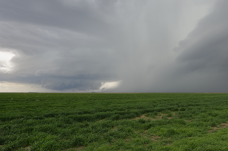
We head south and intercept this supercell south of Limon, Colorado. A ridge blocked our view of a tornado as we were driving.
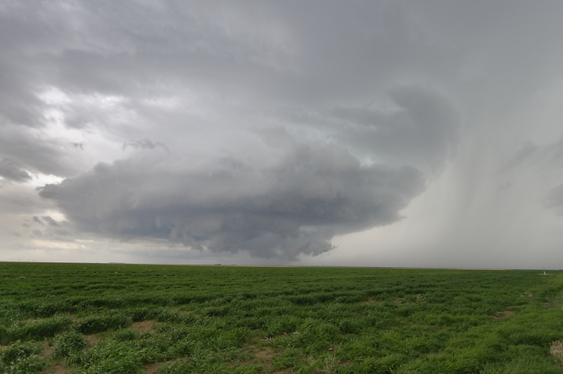
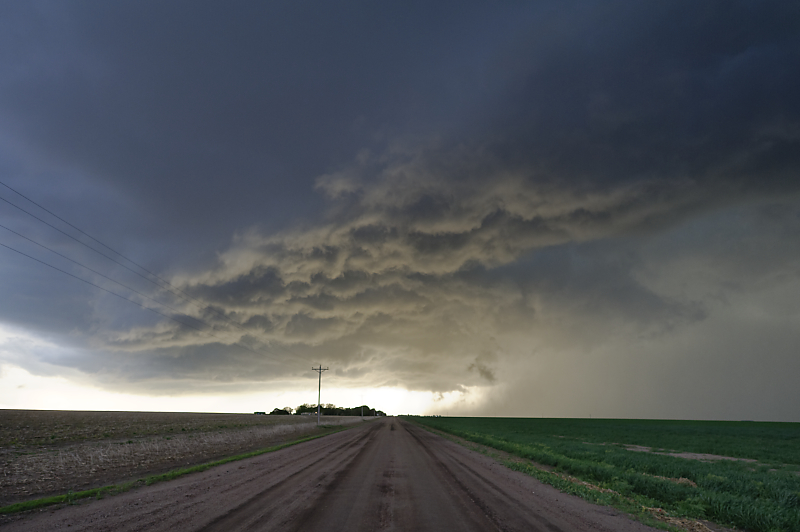
Large wall cloud is rapidly rotating and heading towards us.
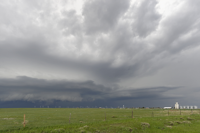
Storm over Limon, Colorado.
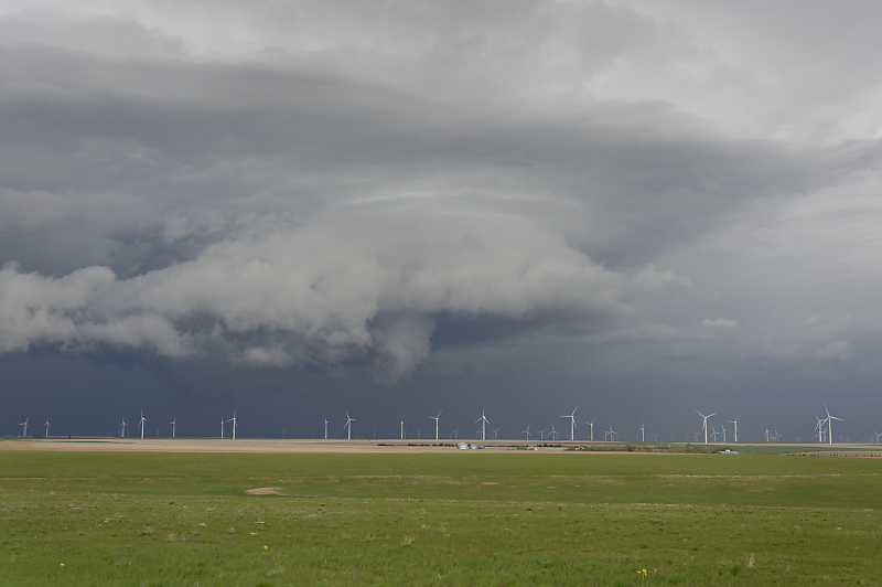
The storm weakens right after this photo.
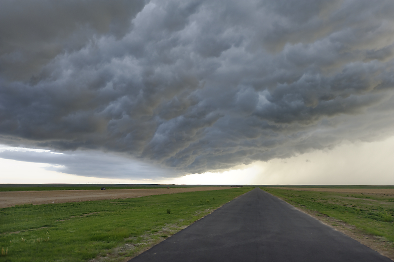
Under the shelf cloud near Arriba, Colorado. Beautiful whale's mouth feature as cool air rushes eastward out of the squall line behind us.
We drive ahead of the shelf cloud and let it move over us again near Flagler, Colorado.
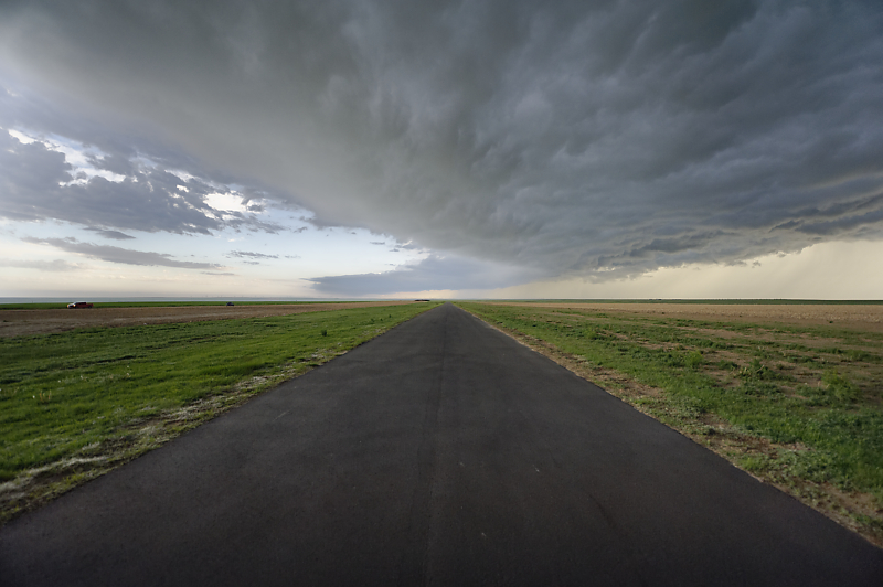
Looking down the taxiway of a small airport in eastern Colorado.
May 23: Eastern Colorado Thunderstorms
Small thunderstorm north of Kit Carson, Colorado.
Many convective cells develop ahead of a strong upper low coming out of the southwestern U.S. Nothing stays isolated for long, however.
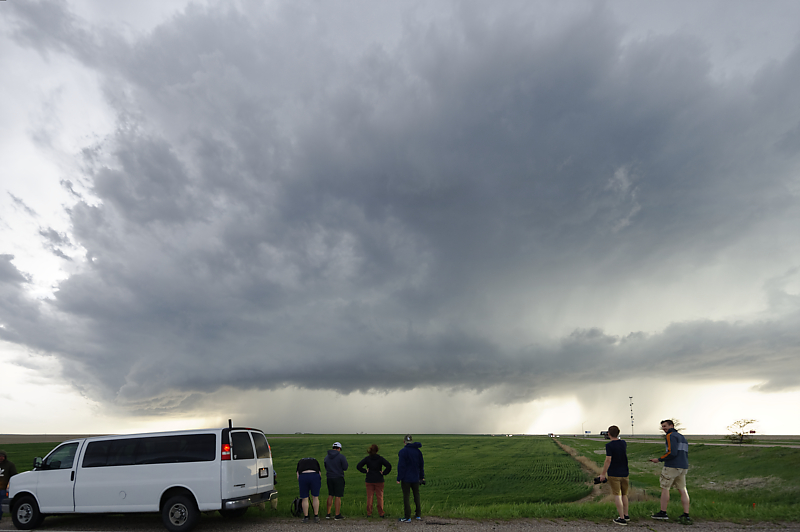
Storm chasers watching a severe thunderstorm west of Burlington, Colorado.
Dusk storm near Burlington, Colorado.