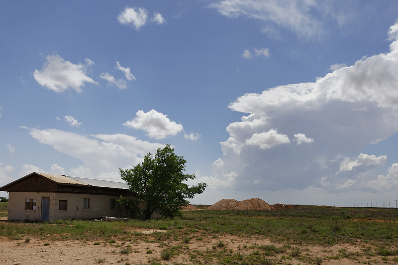
May 16: West Texas LP Supercell
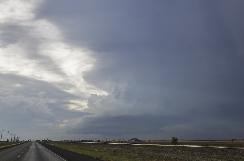
Small tornado is on the ground as I drive towards an LP Supercell near Littlefield, Texas.
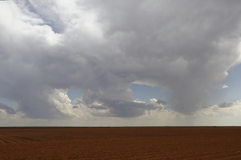
Clear signs of rotation in this thunderstorm.
West Texas LP Supercell.
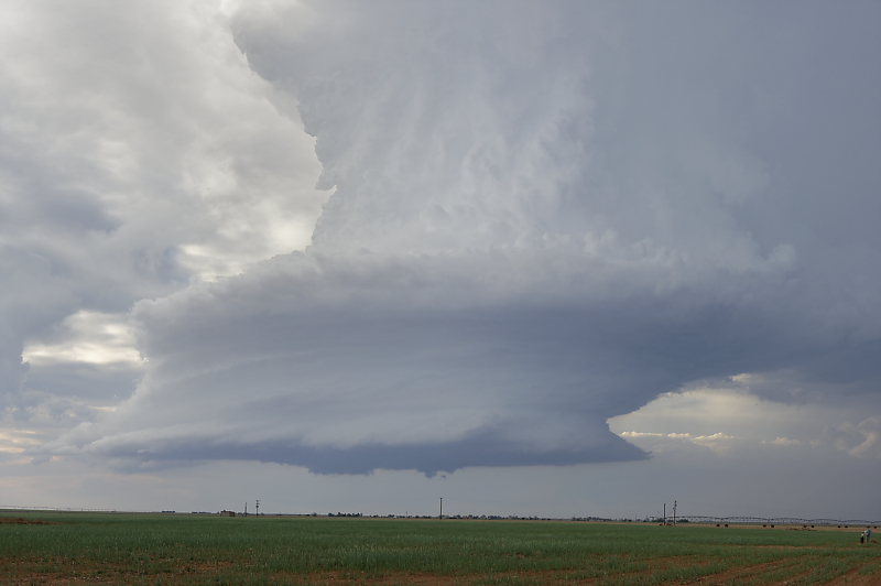
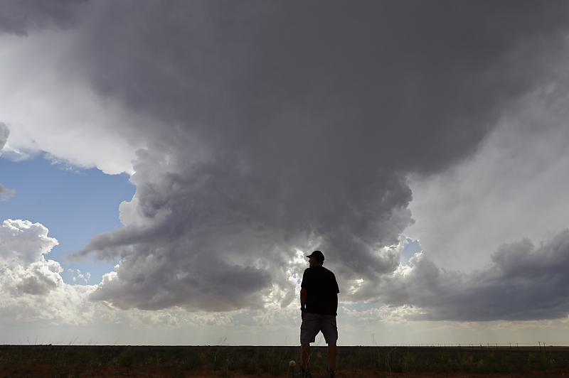
Despite the strong rotation, this storm did not produce any more tornadoes.
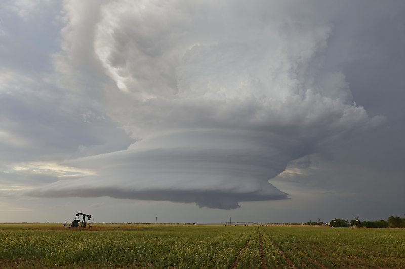
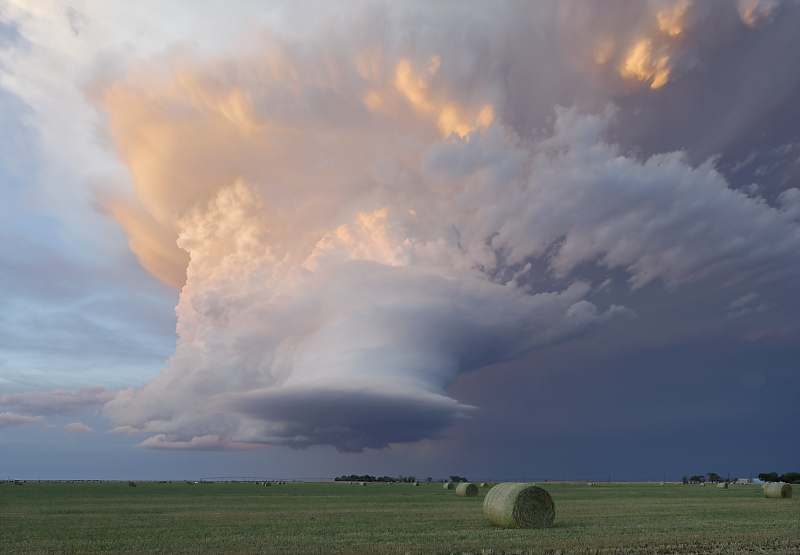
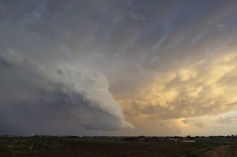
Incredible structure as the storm drifts east.
Clear signs of rotation.
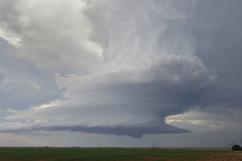
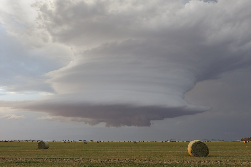
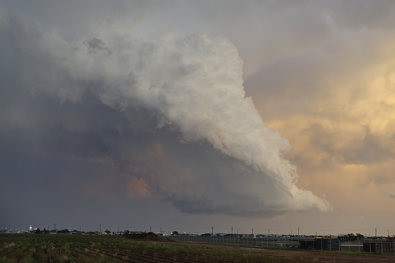
Even as the storm weakens, it continues to rotate.
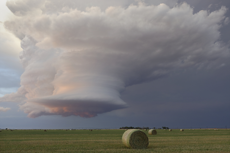
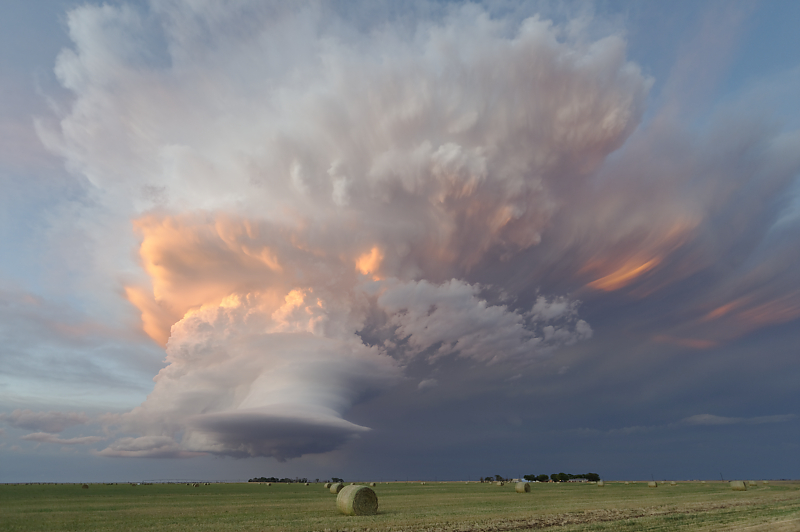
Other-worldly appearance at sunset.
This incredible-looking storm is barely showing up on radar.
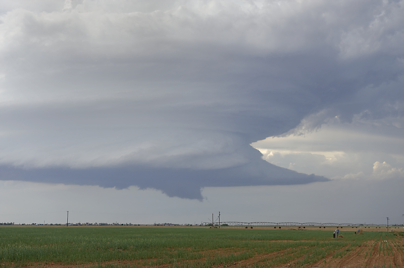
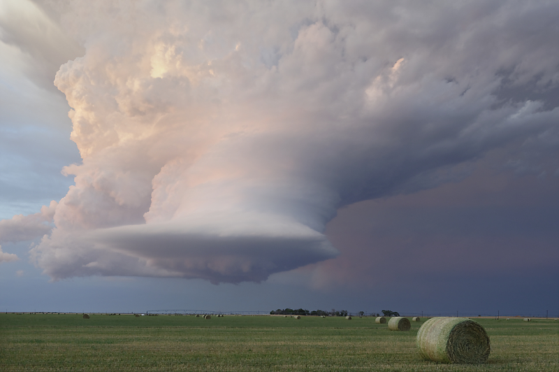
Ultra-wide angle view.
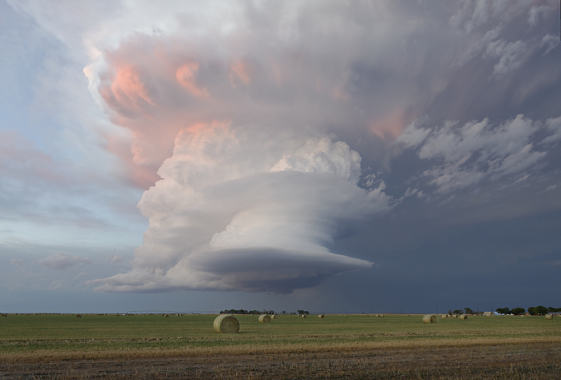
A couple of minutes later.
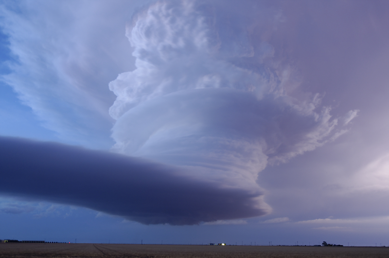
View of storm after sunset.
May 17: West Texas Thunderstorms
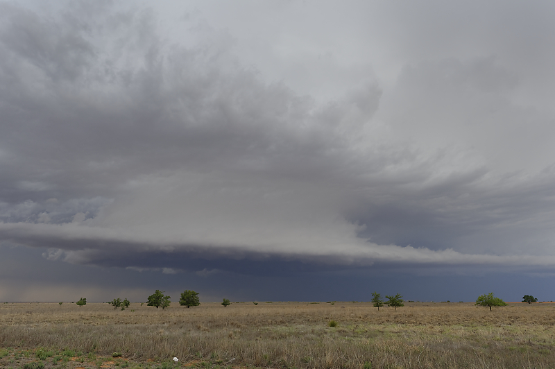
With Bill joining me, we watch deep convection initiate along the dryline west of Seminole, Texas.
Three cells form just to the west. These photos don't do this justice (as usual): we watch giant convective towers slowly grow just 10 miles away from us.
This is Bill's first day of storm chasing.
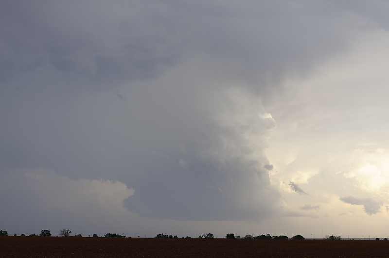
As this storm tower stays fairly small, we head north to intercept a more intense complex of thunderstorms.
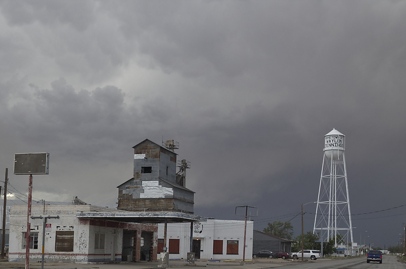
Littlefield, Texas, birthplace of Waylon Jennings.
Updraft north of Littlefield.
After some time watching the northern storms (messy multi-cell, mostly outflow dominated), we head back south to our original LP storm.
We re-intercept this small storm west of Lubbock.
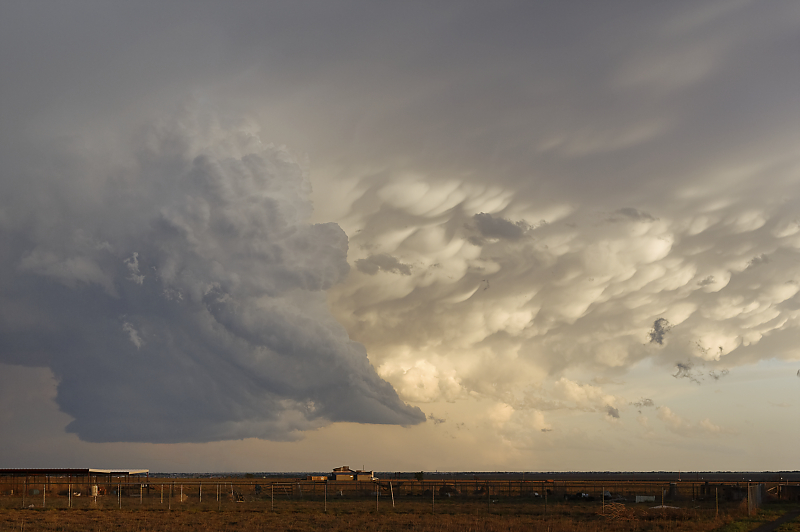
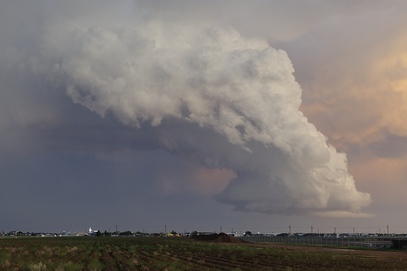
A spectacular sight at sunset.
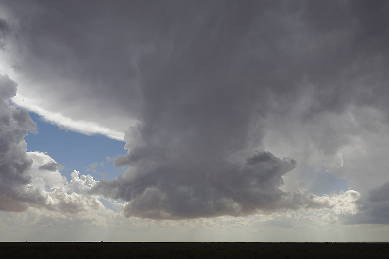
The storm continues to evolve.
Tower narrows as the storm weakens.
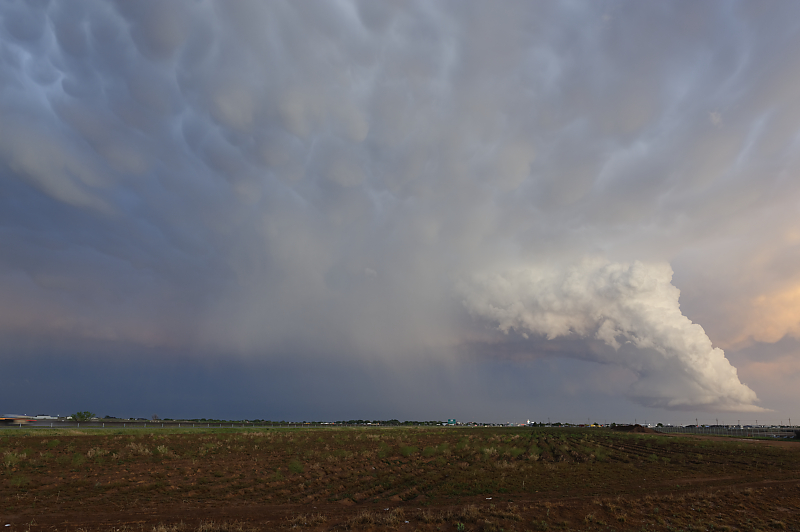
Last view of this spectacular storm.