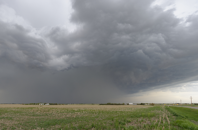
April 27: West Texas Squall Line
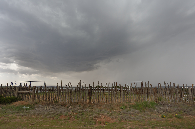
High-based thunderstorm near Spur, Texas. I mistakenly skipped this storm so I could focus on better supercell potential further southwest. But conditions didn't come together until after dark. An intense supercell formed around 2 am: not too good for storm photography!
Squall line over Hamlin, Texas (northwest of Abilene). This is my consolation prize after missing today's long-lived supercell over northwest Texas (the one I let go).
May 3: North Texas Thunderstorm
Isolated thunderstorm near Denton, Texas. A squall line soon develops.
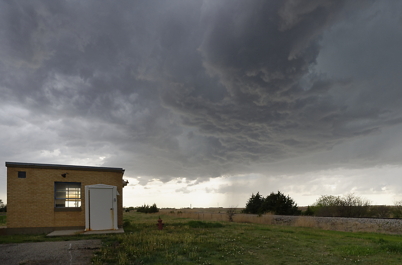
May 5 & 7: Oklahoma Panhandle Thunderstorms
May 5: Evening thunderstorm in the Oklahoma panhandle.
May 7: Another high-based thunderstorm in the Oklahoma panhandle.
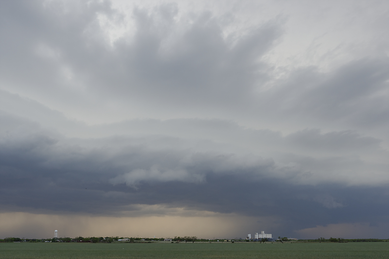
May 8: Central Kansas Storms
Storm develops along the dryline in northwest Kansas.
New thunderstorm develops further east, along a stationary front.
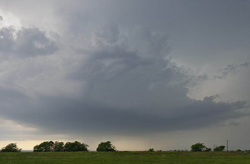
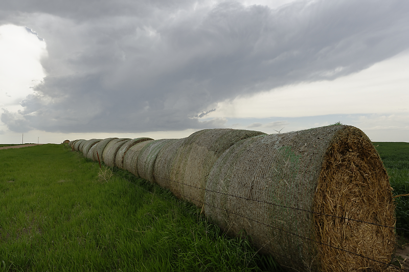
High-based thunderstorm in central Kansas.
Good rural scenes as I follow this marginally severe storm.
Central Kansas ranch land.
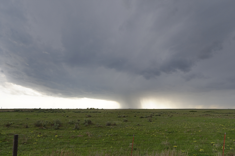
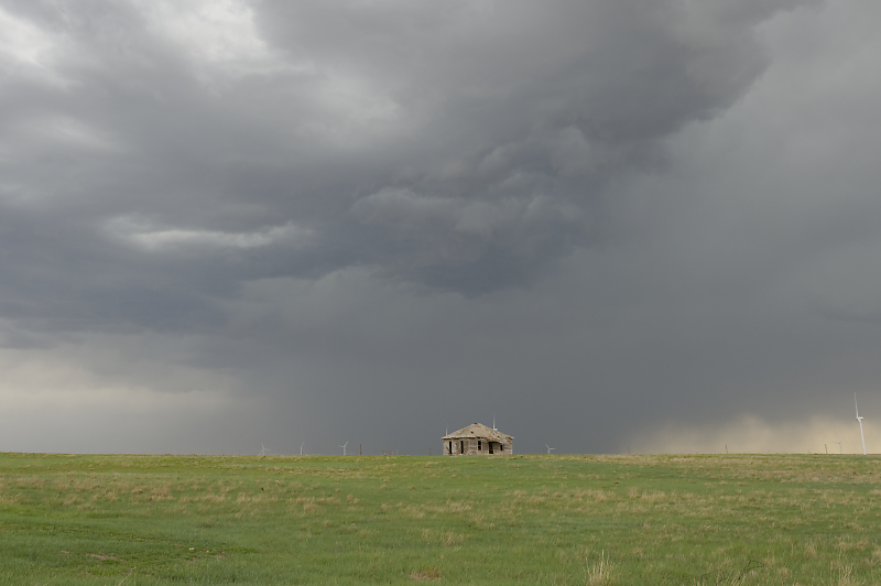
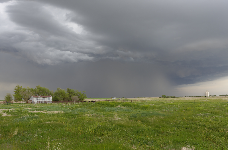
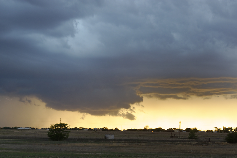
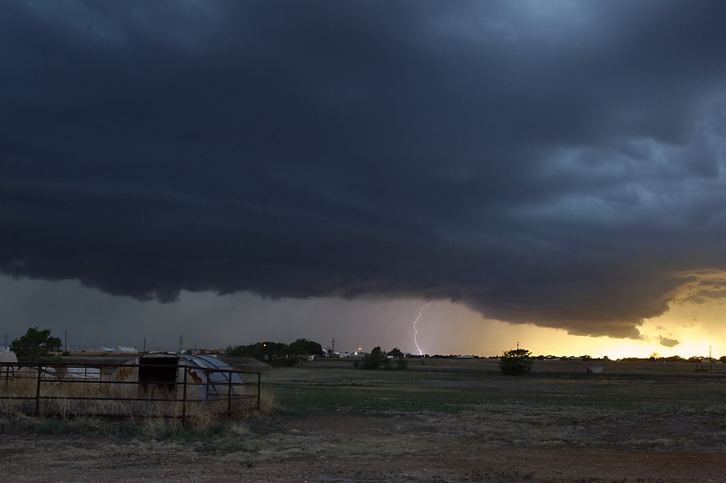
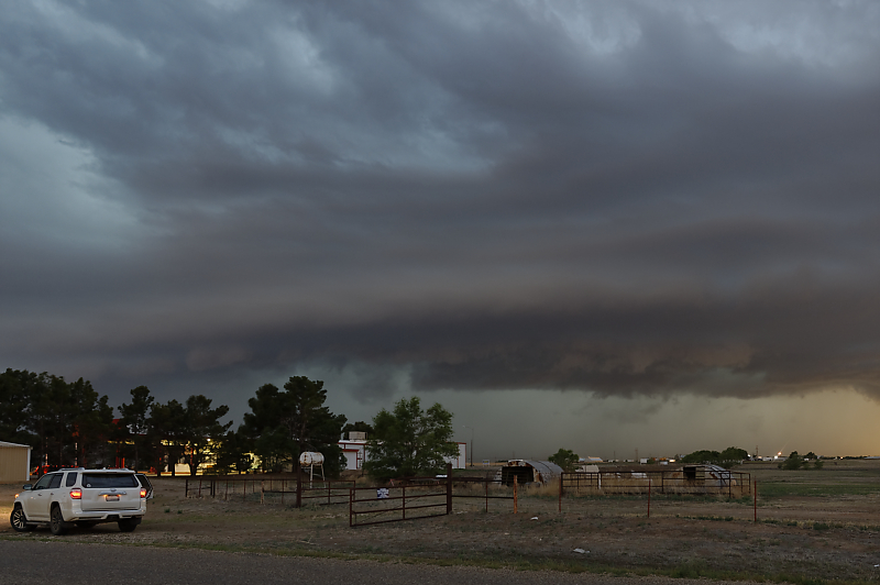
May 15: West Texas Storms
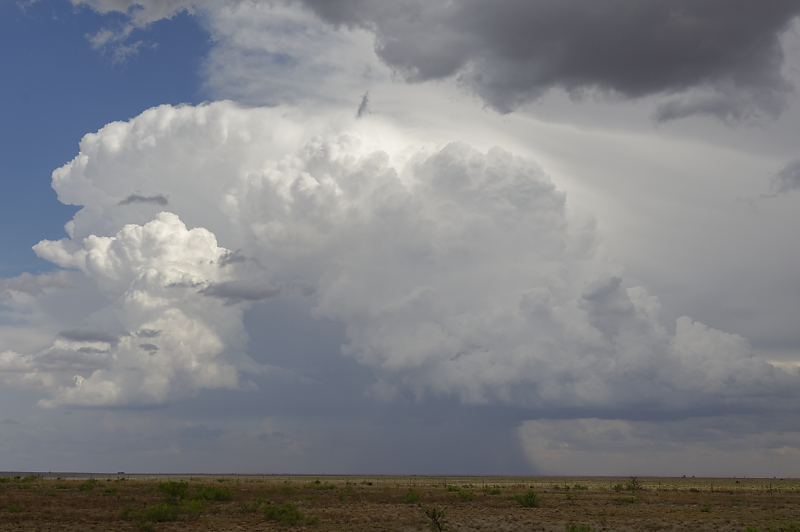
Thunderstorm developing in far eastern New Mexico.
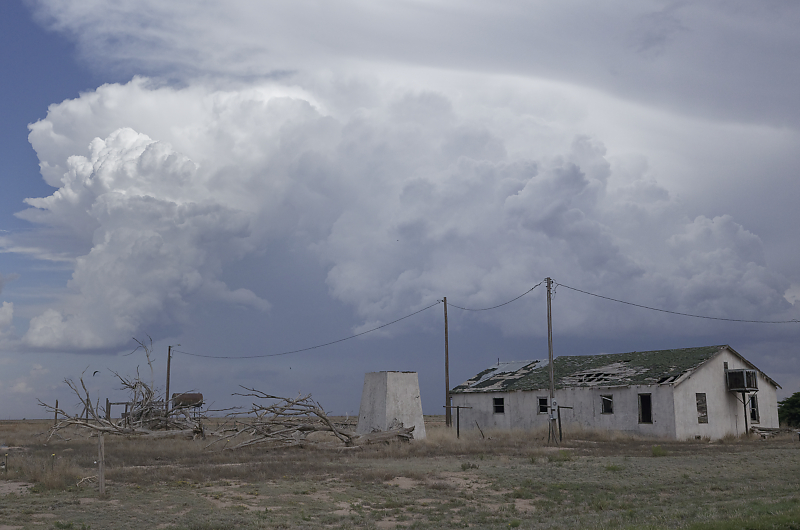
Abandoned farmhouse in west Texas (near the New Mexico state line).
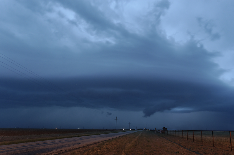
Wall cloud in northeastern part of squall line.
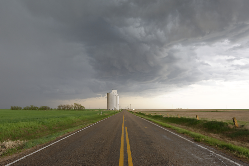
Storm over Levelland, Texas.
Another view.
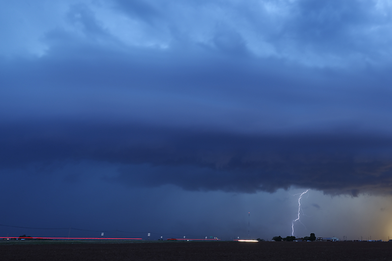
View after sunset.
It's always an eerie experience to watch squall lines after dark.