April 23: Northwest Texas Tornadoes
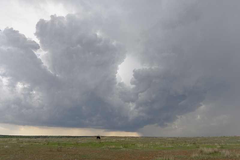
Thunderstorm develops in northwest Texas.
Strong updraft at the intersection of the cold front and dryline.
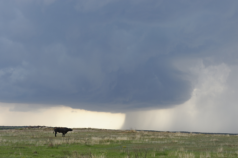
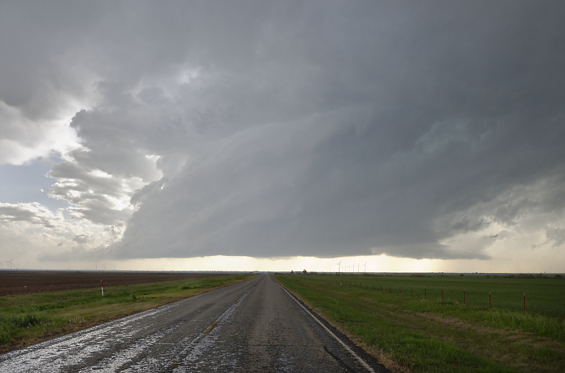
Storm slowly strengthens south of Childress, Texas.
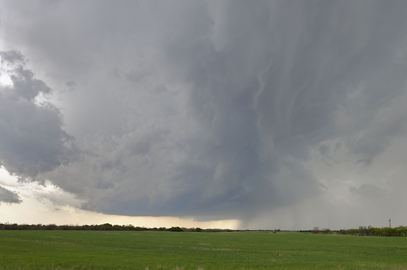
Storm continues to strengthen as it moves east-southeast across remote ranch land south of Quanah, Texas.

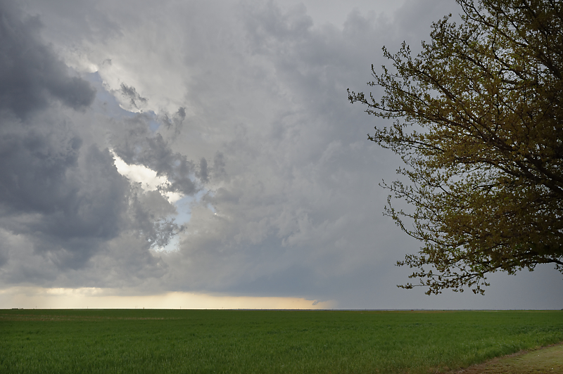
Intense supercell south of Chillicothe, Texas with large hail. Funnel cloud hints at tornado formation.
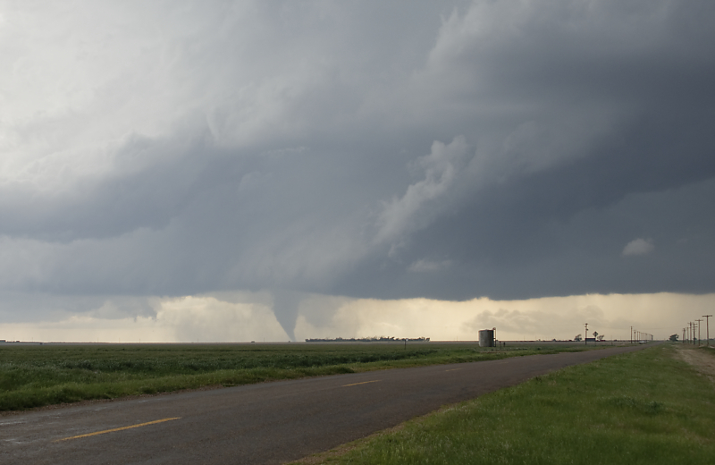
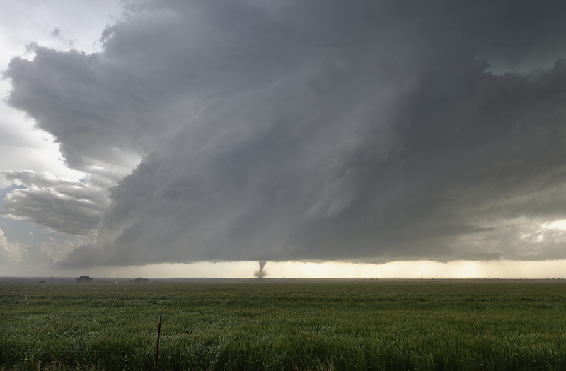
Tornado soon touches down in rural Hardeman County, in northwest Texas.

At a focal length of 50mm, you can get a feel for my distance to the tornado (about three miles).
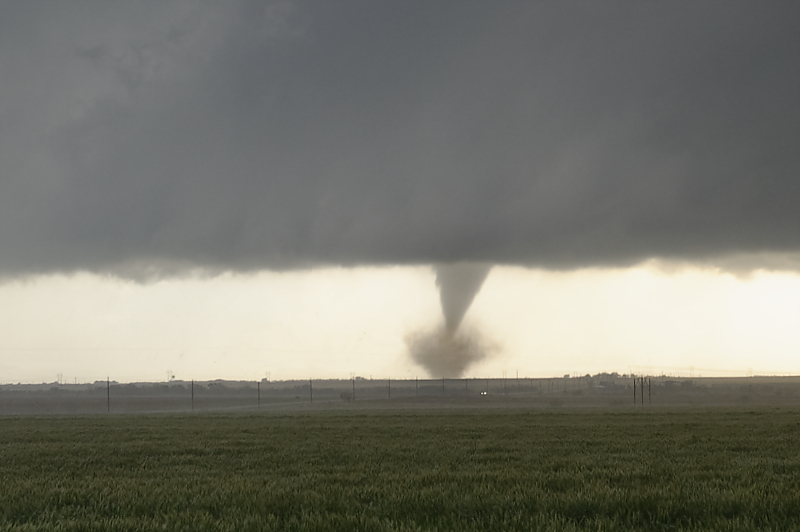
Tornado continues, although the condensation funnel doesn't reach the ground.
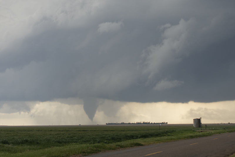
After I relocate further southeast, another tornado forms.
Wide-angle view of an LP Supercell and tornado in northwest Texas.
Ten minutes later, I follow a farm road back towards the storm for a closer look.
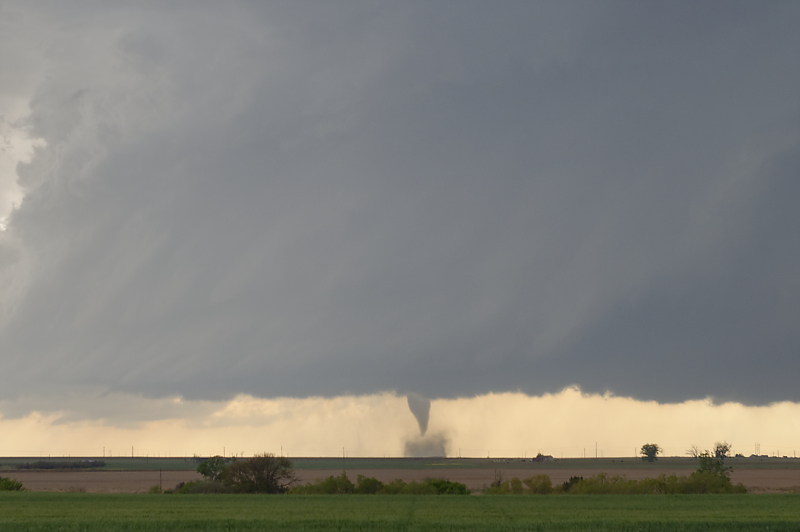
Another tornado forms south of Vernon, Texas.
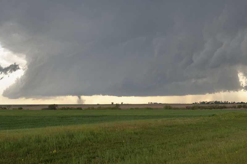
Zoomed-in view. I saw a total of five tornadoes today in this long-lived supercell. This more than makes up for a very quiet April for severe thunderstorms in the Great Plains.