April 22: Southern Oklahoma Tornado
An otherwise slow storm season starts off with a bang.
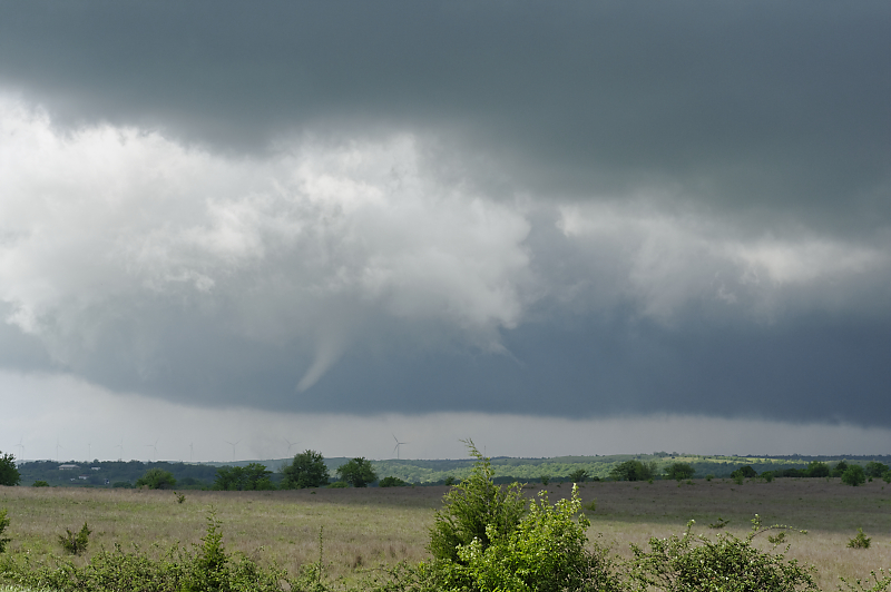
Tornado forms only a couple of miles north of the highway.
Tornado is just east of Springer, Oklahoma.
Storm chasing east of I-35 can be frustrating due to hills and trees, but I had a clear view from a ridgeline.
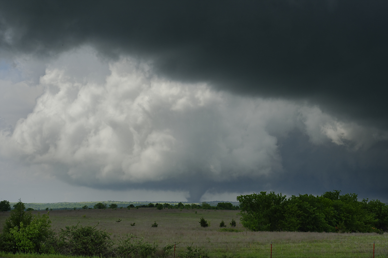
Tornado formed at rear of supercell after strong RFD wrapped around the mesocyclone.
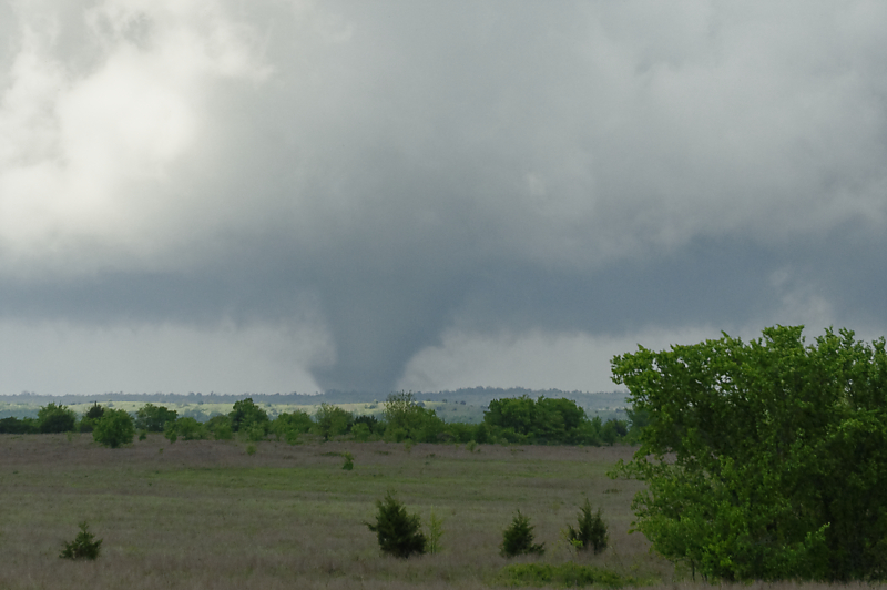
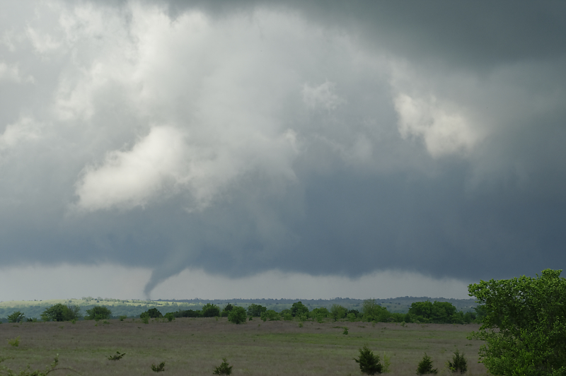
Zoomed-in view.
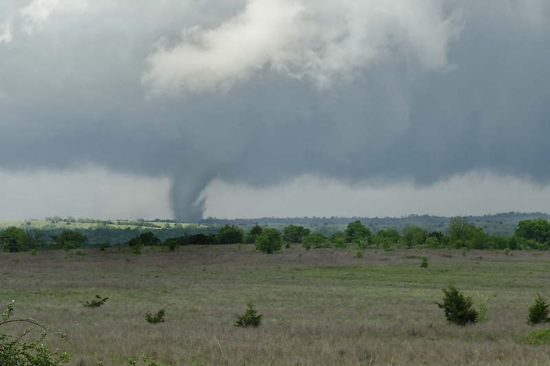
Stout cyclinder tornado.
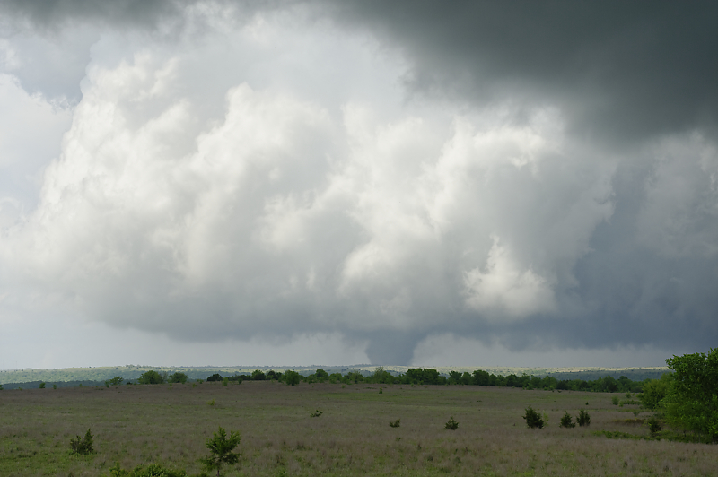
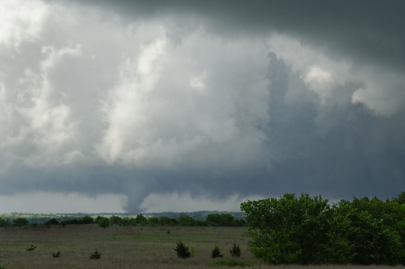
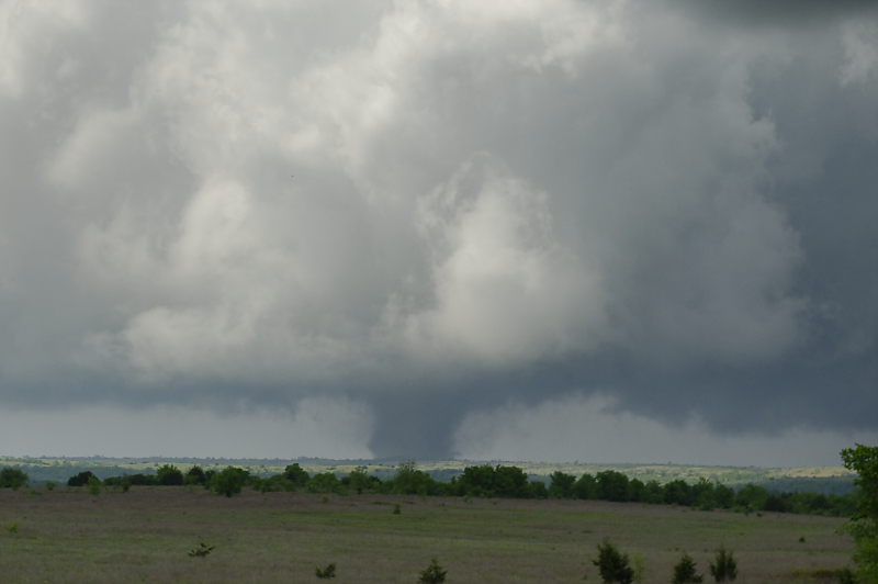
Tornado moved across the sunlit rural landscape for several minutes, providing an incredible experience to start the storm chase season (which also turned out to be the slowest season since 2000).
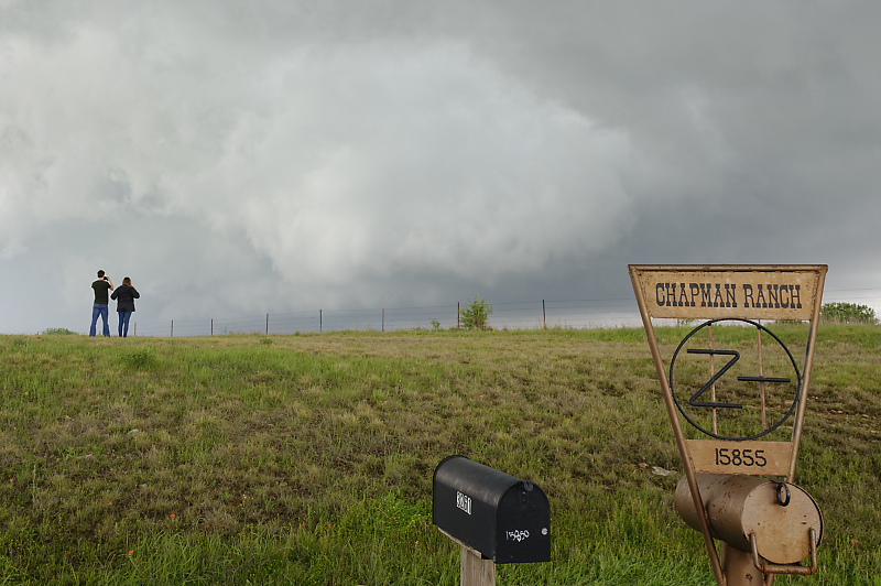
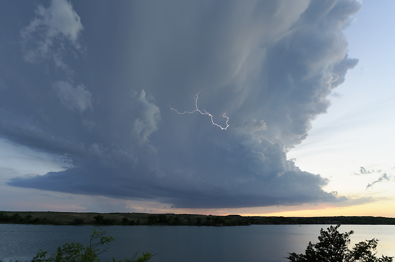
While enjoying the scene of a departing supercell, a surprising sign.
May 4: Southern Oklahoma Storm
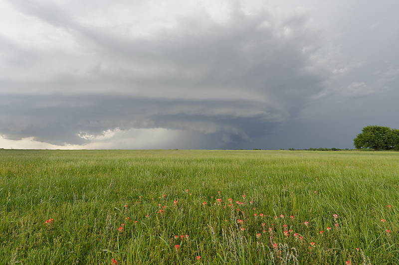
Very hot, very humid, but not much wind shear. Dryline fires up late in the afternoon.
A summer-like weather pattern with 97-degree temperatures and a large spread between temperature and dewpoint (which means high-based, outflow-dominant storms).
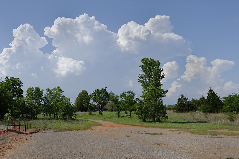
Beautiful cattle pasture east of Wayne, Oklahoma.
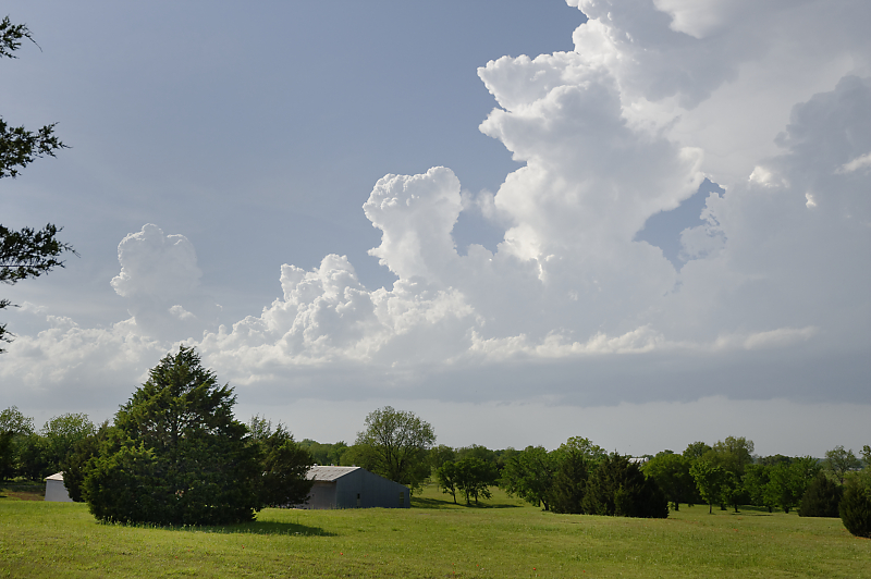
Highway 177 north of the town of Stratford.
May 7: Northwest Texas Hailstorm
Baseball-size hailstones are falling from this intense supercell near Quanah, Texas.
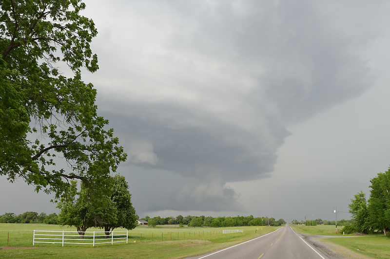
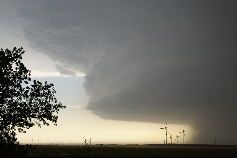
May 13: Southwest Oklahoma Squall Line
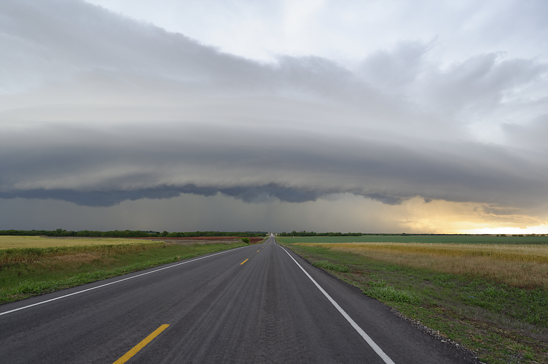
Large area of thunderstorms moves across southwest Oklahoma.
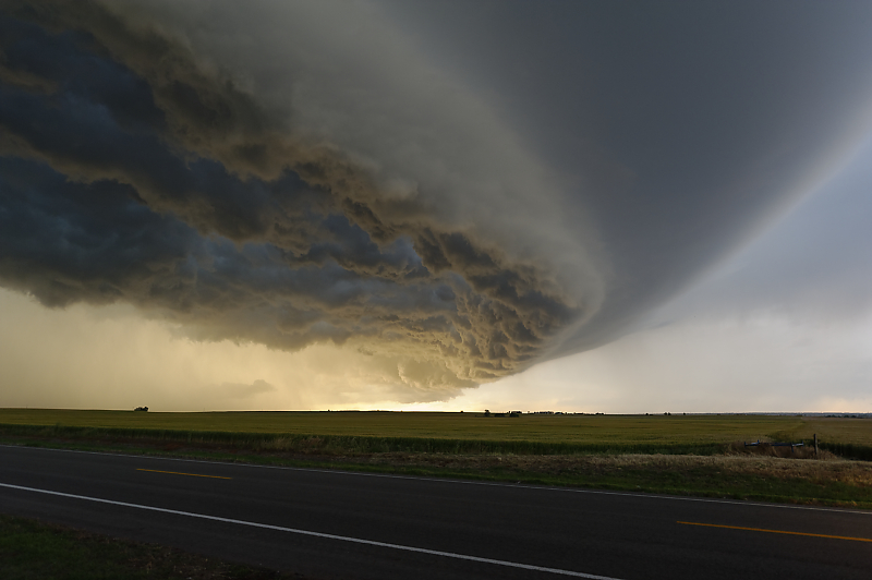
Incredible shelf cloud structure near the town of Sentinel at sunset.
May 14: Northwest Oklahoma Storms

Storm develops at sunset near Arnett, Oklahoma.

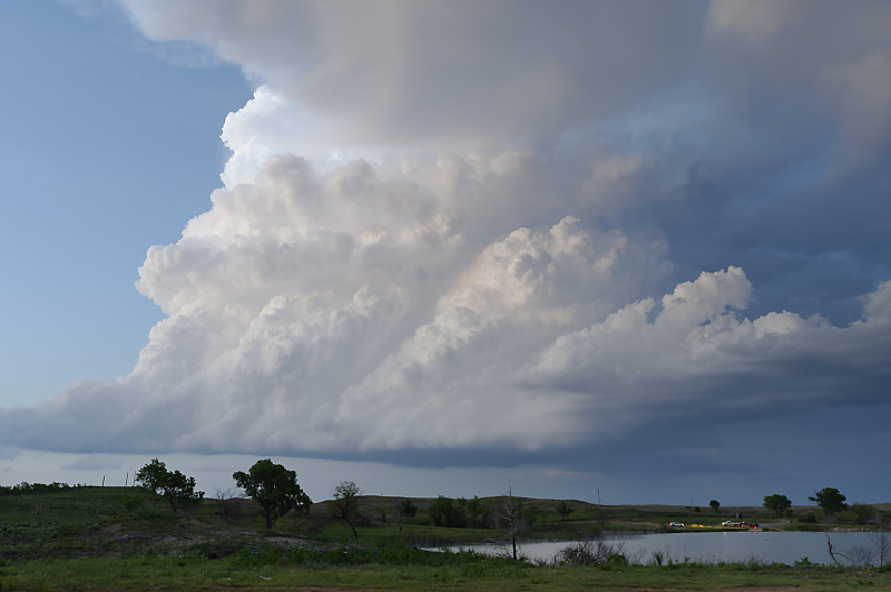
Strong convection although not enough shear for supercells or tornadoes.
Looking west across Lake Lloyd Vincent.
New storm developing to the north.