May 21: Southwest Kansas Supercells
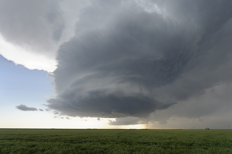
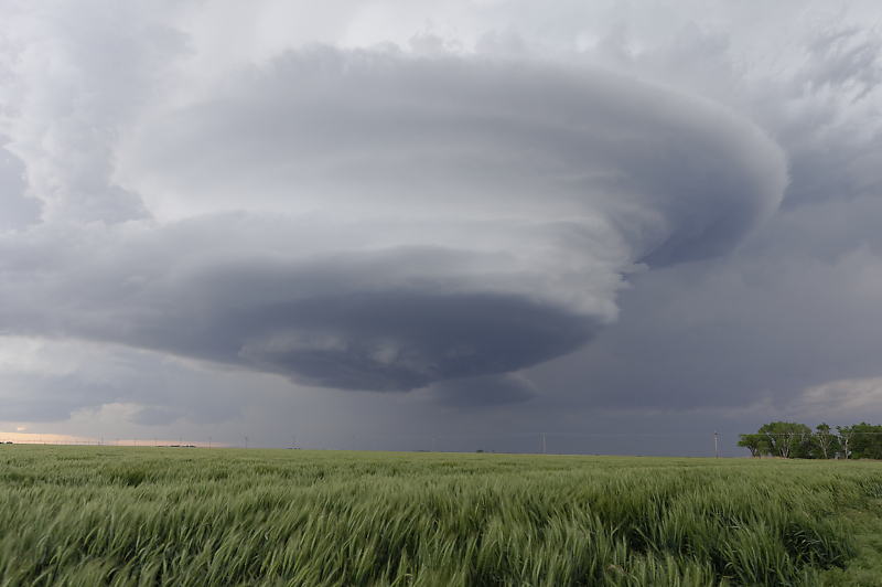
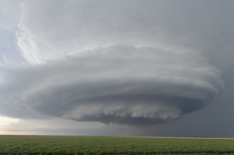
Small LP Supercell develops in southwest Kansas.
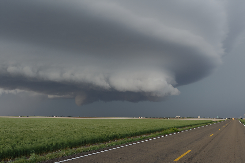
Intense updraft with good directional wind shear results in a photogenic thunderstorm.
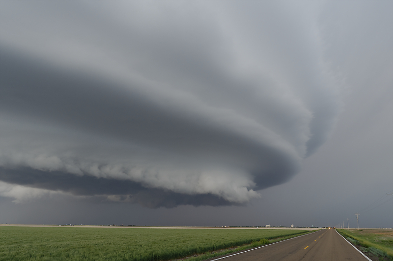
View from along Highway 160 near Kismet, Kansas.
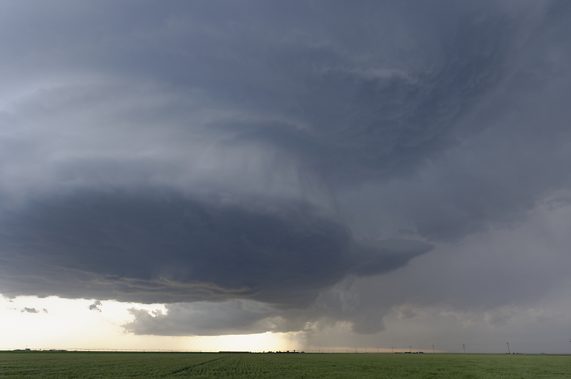
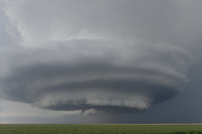
Storm is weakening and constantly evolving in shape.
This is why LP Supercells are my favorite target for storm photography.
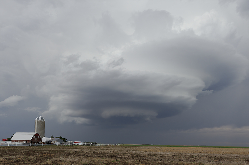
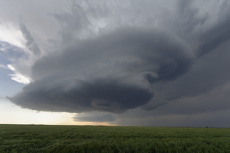
Farm along Highway 160.
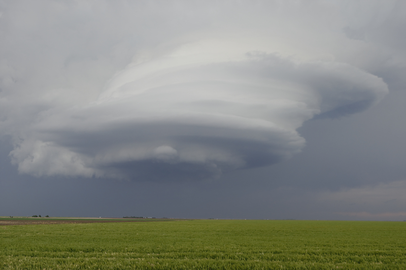
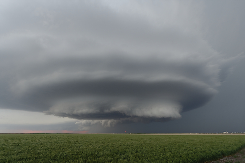
Storm is weakening quickly, so I take one last photo before heading northwest to intercept a new storm.
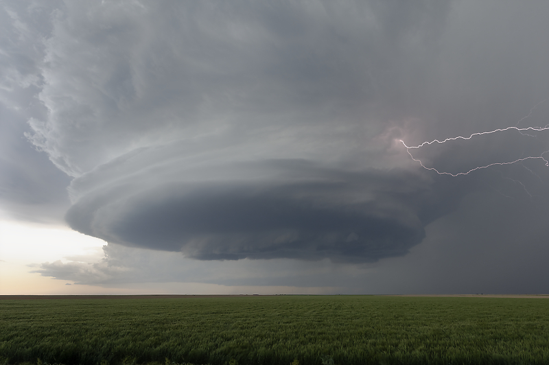
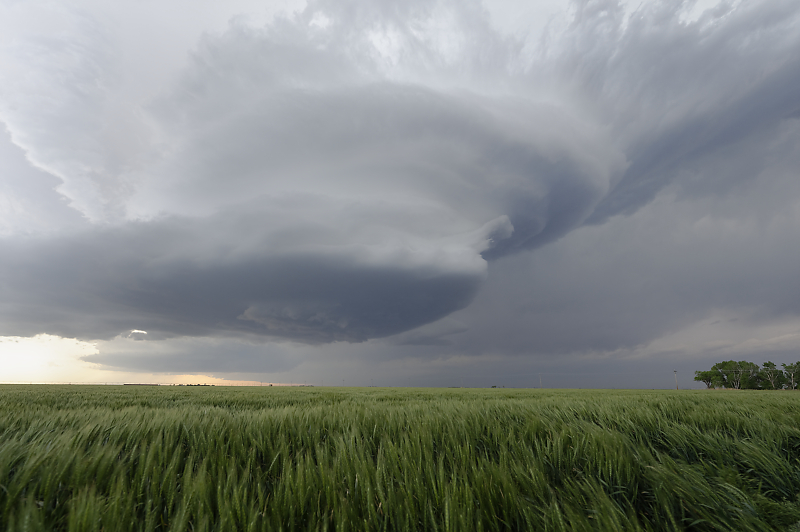
Intense supercell has developed near the town of Satanta, Kansas.
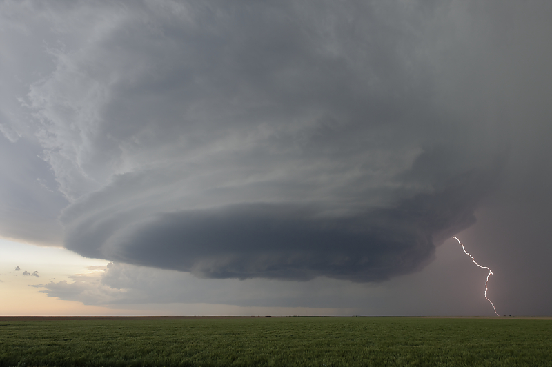
This highly electrified storm is putting down CGs (cloud-to-ground lightning strikes) every few seconds.
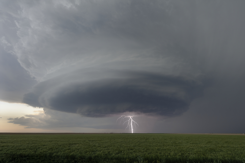
I'm always happy to capture a lighting bolt (no lightning trigger, just lots of photos while hoping for a lucky capture).
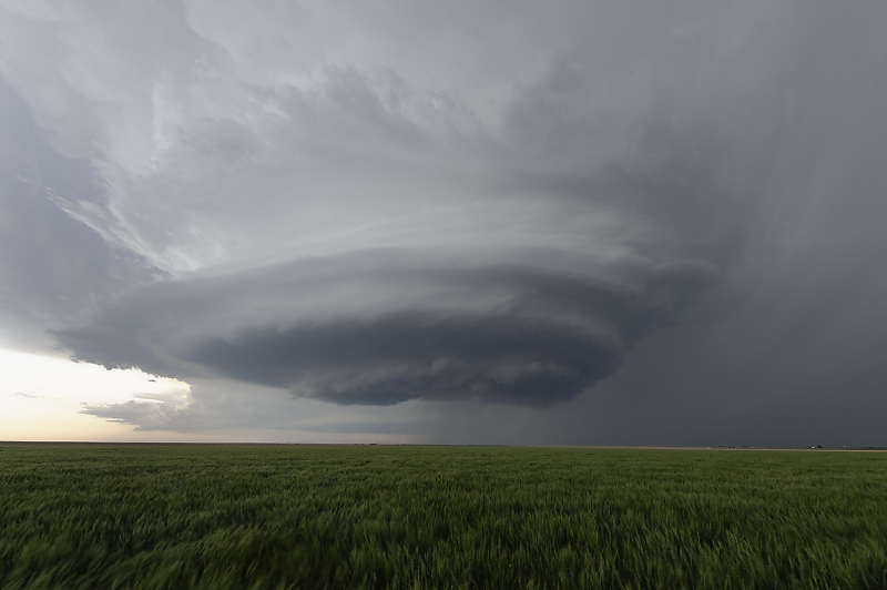
Clear signs of rotation for this supercell.
Storm is moving slowly northeast.
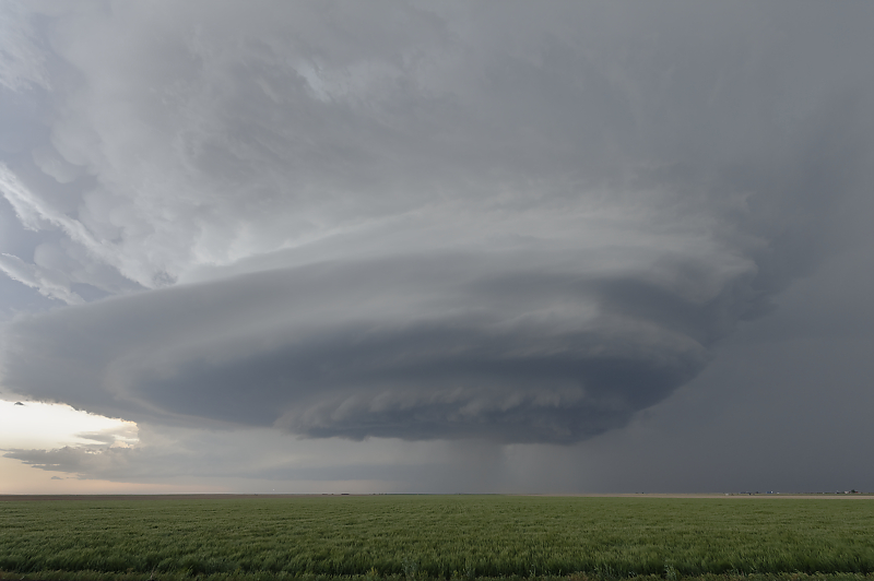
Enjoying a close-up view of a spectacular storm at sunset.
Funnel cloud develops. I'm not close enough to confirm if a tornado touches down.
Soft effect is due to long exposure as daylight fades.
Storm over Satanta. This is looking north on Highway 190.
Another funnel cloud.