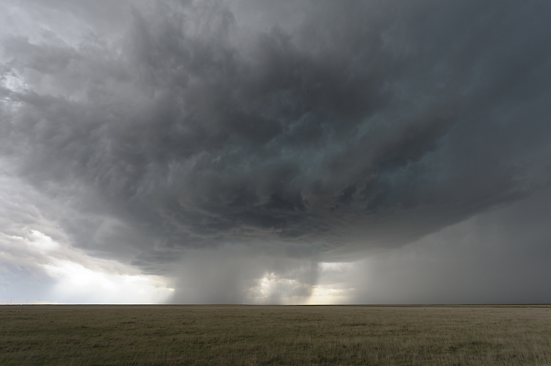
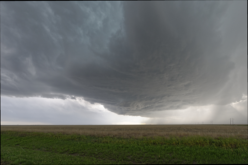
May 4: Oklahoma Panhandle Storm
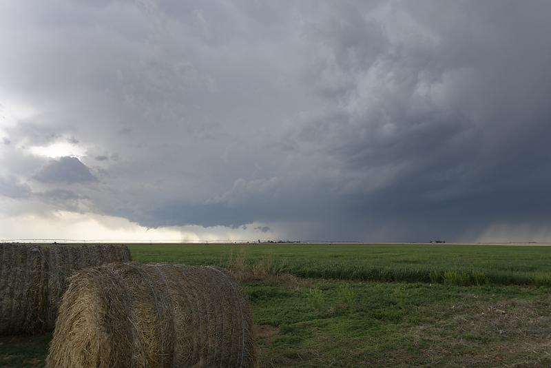
Ingredients for severe weather are modest today, but an isolated storm develops in the Oklahoma Panhandle.
Strong updraft near the town of Eva, Oklahoma.

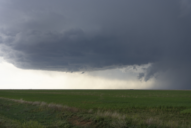
Non-rotating wall cloud underneath the updraft base. It soon dissipates.
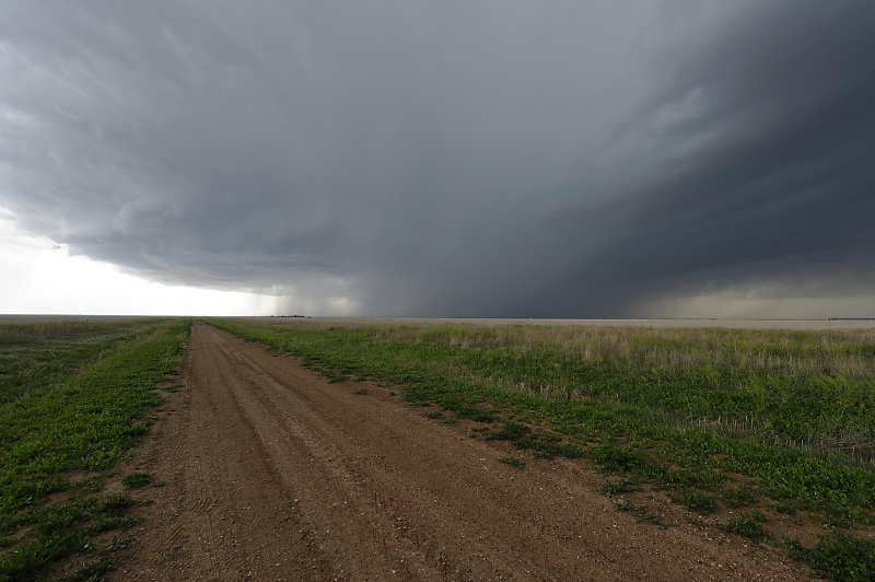
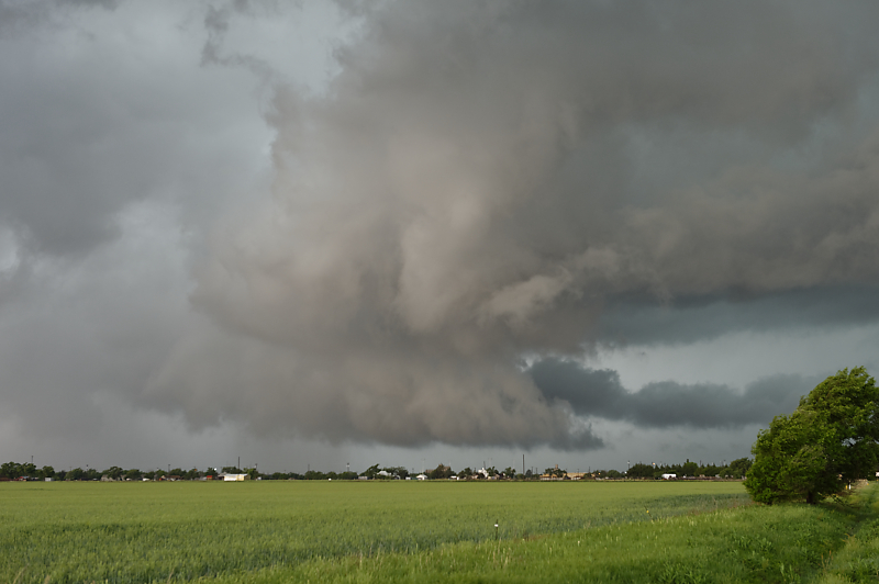
Wide-angle view of the storm as it crosses open farmland.
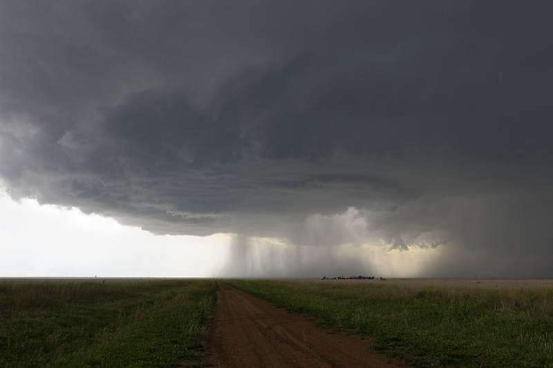
Storm begins to split in two, with main updraft turning southeast.
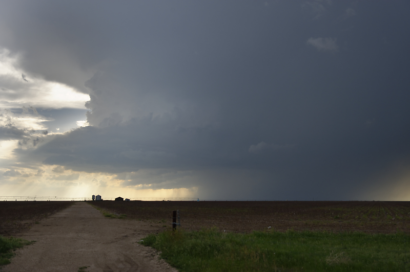
Dramatic high-based storm.
Evening storm over the High Plains of the Oklahoma Panhandle.
Large updraft nearly overhead.
Wide-angle view of the storm.
Storm begins to weaken as it heads towards Goodwell, Oklahoma, home of Oklahoma Panhandle State University.
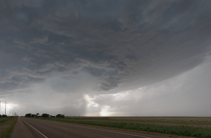
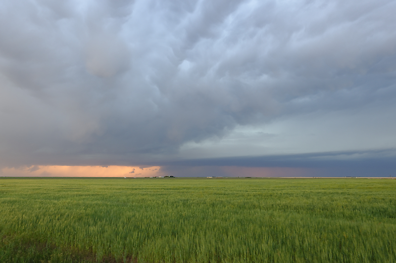
May 5: Texas Panhandle Storm
Severe thunderstorm in the northern Texas Panhandle. Beautiful sight before the storm weakens.
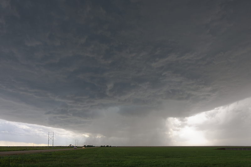
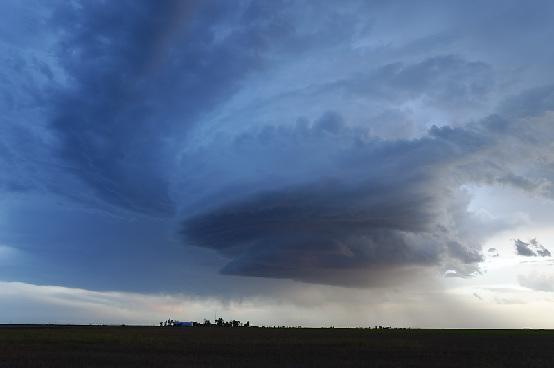
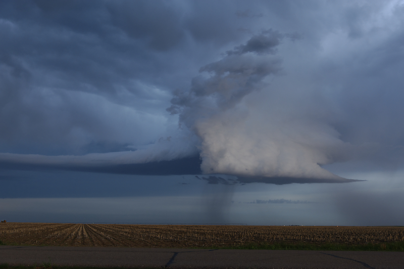
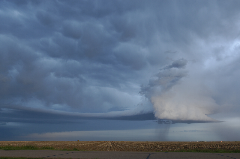
May 6: Far Southwest Kansas Storm
Looking north from the Oklahoma Panhandle, at the southern end of large thunderstorm complex near Elkhart, Kansas.
Meanwhile, to my south, a lone cell develops in the Oklahoma Panhandle.
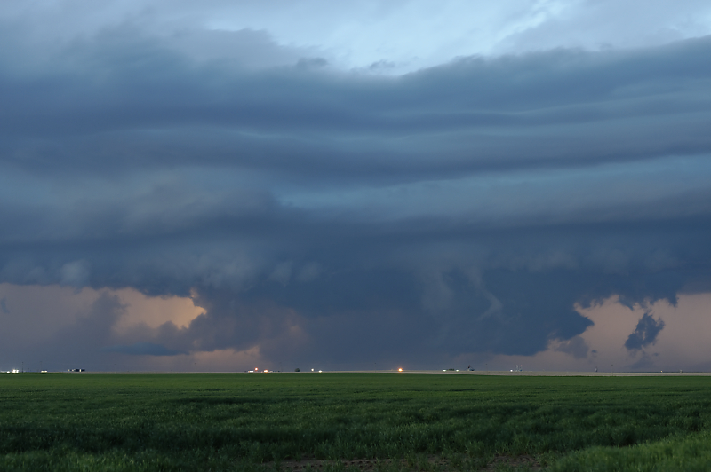
Clear signs of rotation. Storms are late developing today, and this view is at 8:35 pm (sunset comes late on the High Plains in the spring).
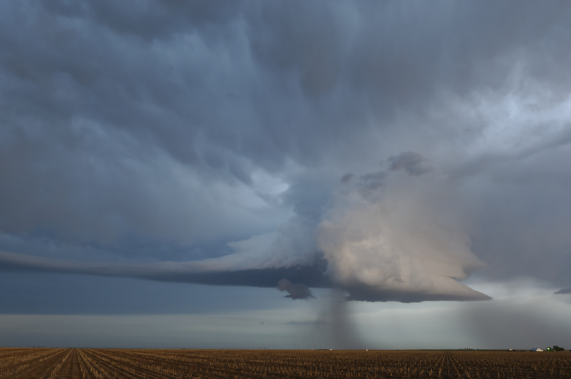
Cell takes on a strange shape as it interacts with outflow from the larger storm just to the north.
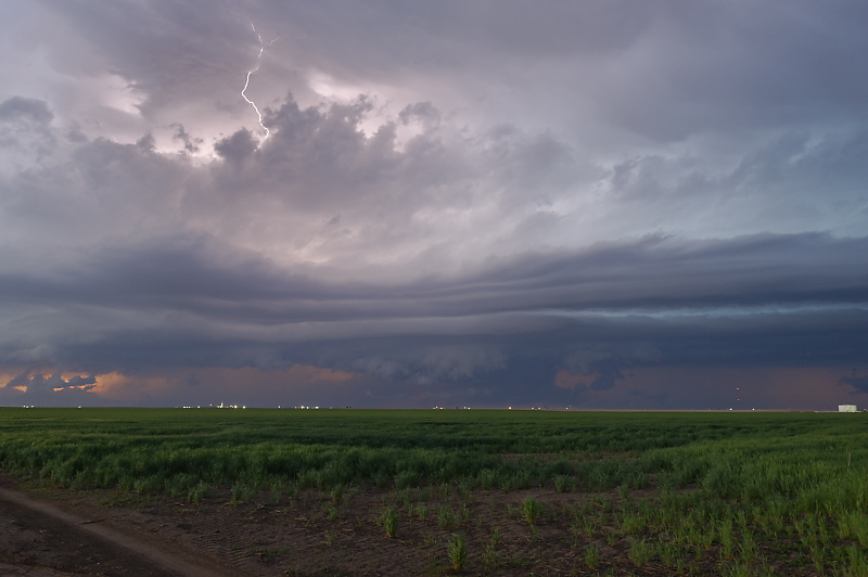
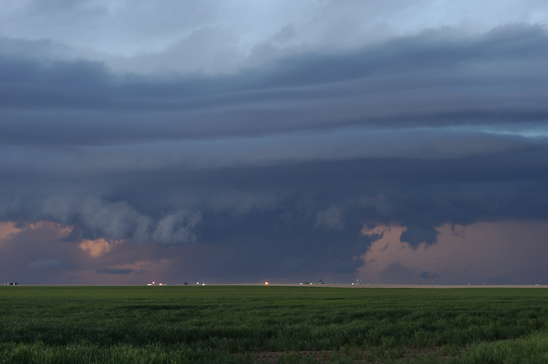
View of the main storm at sunset.
Ragged lowering indicates the interaction of updraft and downdraft.
Another view of the isolated cell, now to my east.
Two-second exposure after dark.
Looking back north at the main storm.
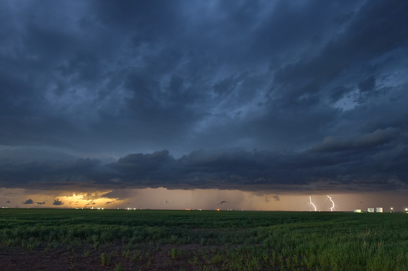
Lightning is almost constant, offering a good opportunity for after-dark storm shots.
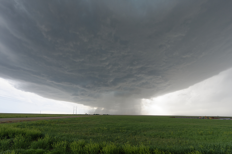
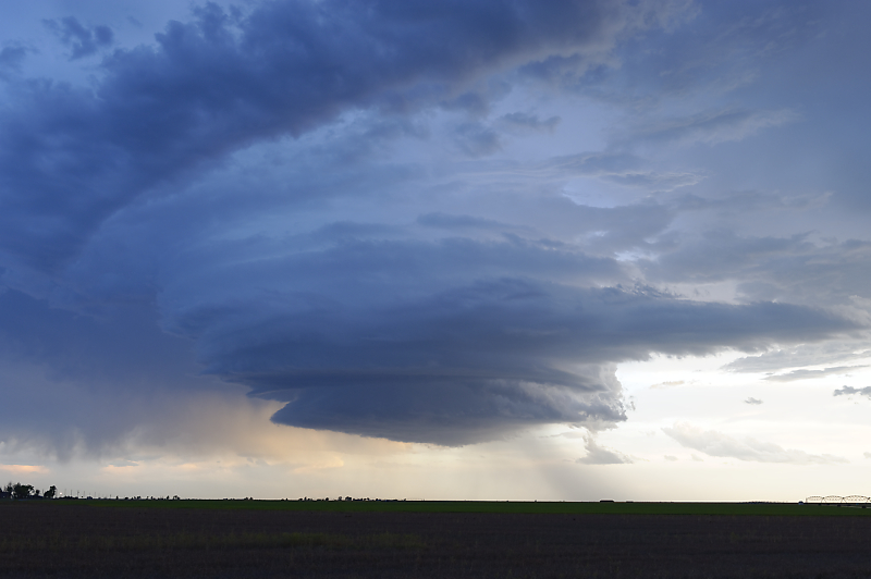
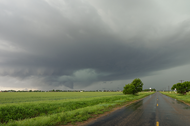
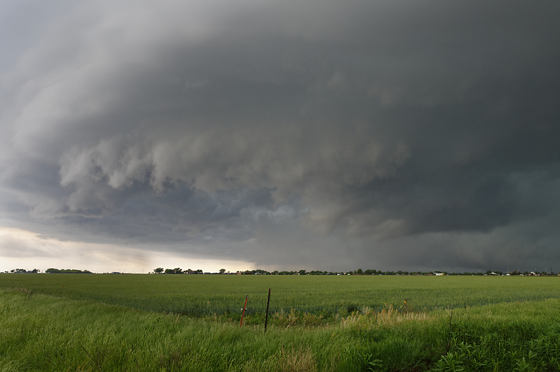
May 7: Texas Panhandle Supercell
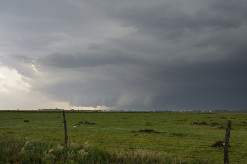
Texas Panhandle in front of a strong upper low approaching from New Mexico.
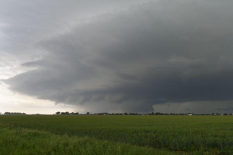
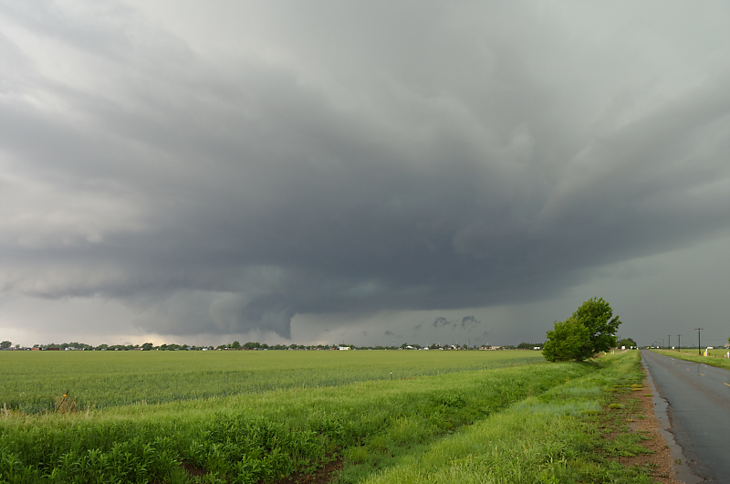
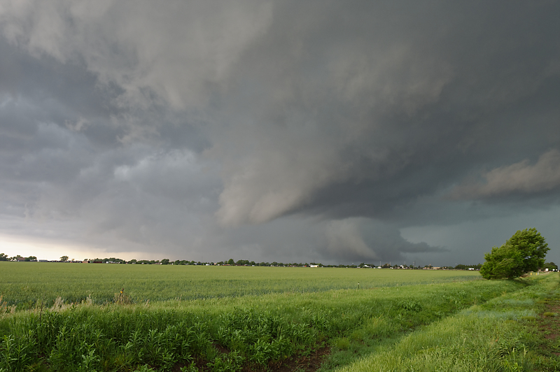
Mature supercell with a wall cloud just south of Tulia, Texas. I'm a little late to see the tornado on this one.
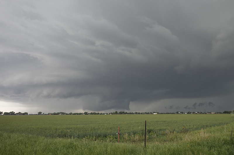
Tornado sirens are blaring as the wall cloud approaches the town.
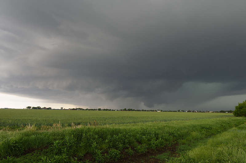
Good view of the storm structure, with rain-free base in front representing the main updraft, and rainy downdraft in the rear and on the right. Wall cloud is formed by saturated air flowing out from the rain core and upward into the updraft. The saturated nature of this outflow causes it to condense below the main updraft, forming a wall cloud.
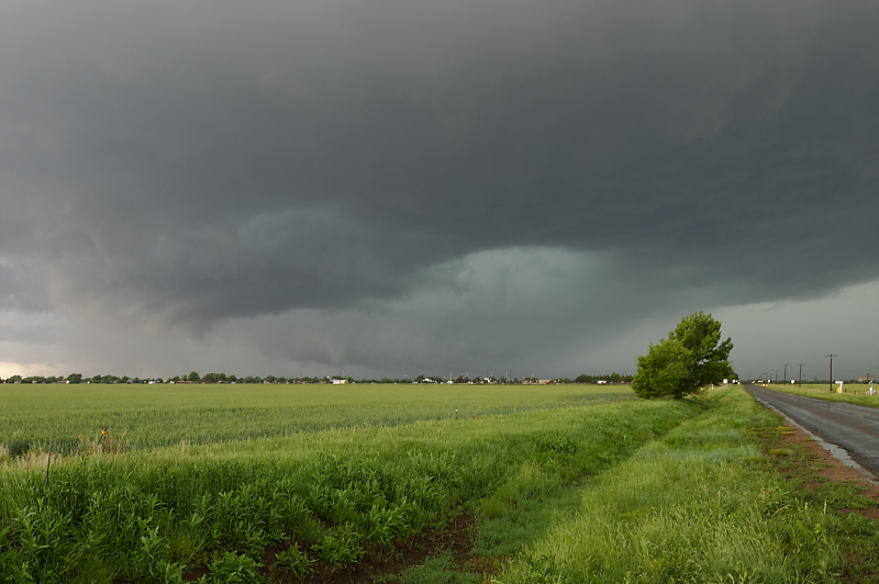
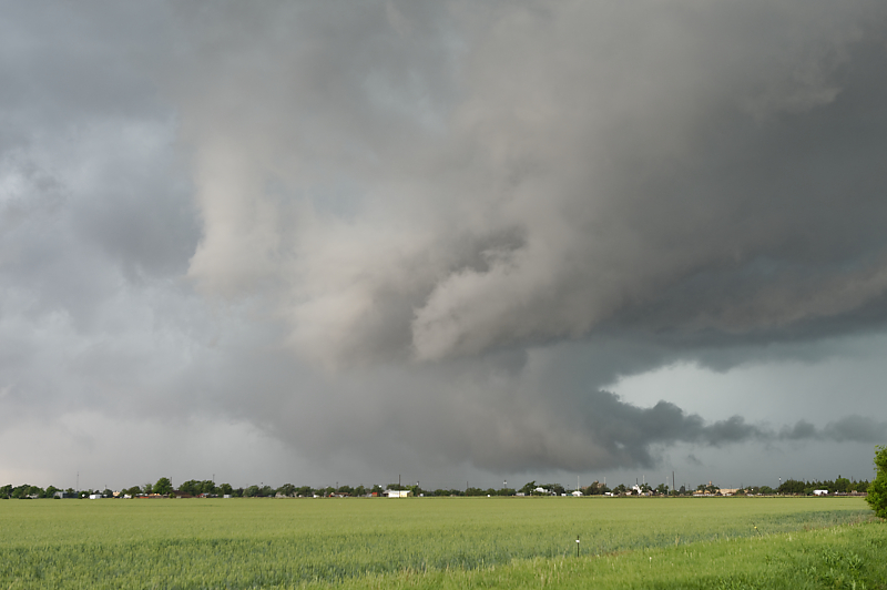
As cool outflow wraps around the wall cloud, it produces a funnel cloud.
Cloud motions are turbulent as the storm moves slowly north-northeast.
Another view.
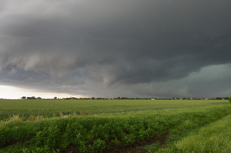
Another funnel cloud as the storm becomes outflow-dominant.
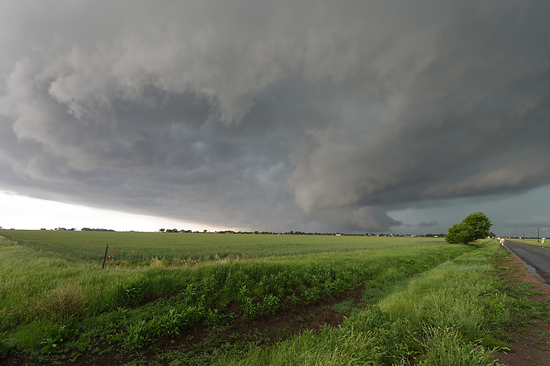
Chaotic clouds as cool outflow mixes with the warm updraft.
Meanwhile, in the rear of this photo, a wall cloud continues to threaten the town.
Zoomed-in view.
Wide-angle view.
Rain-cooled outflow begins to tear apart the wall cloud.
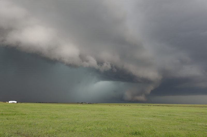
Beautiful supercell over a Texas Panhandle cattle ranch.