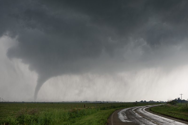
April 30: Red River Tornado
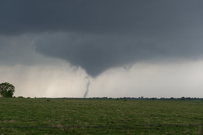
Vortex forms under a cone-shaped funnel cloud northeast of Wichita Falls, Texas. I'm fortunate to find a perfect viewing spot just south of the Red River.
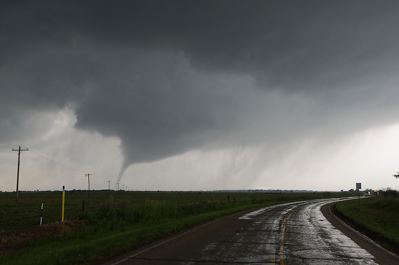
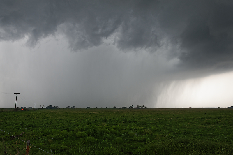
Wide-angle view of updraft. Note the clear slot to the left of the tornado, which shows the RFD.
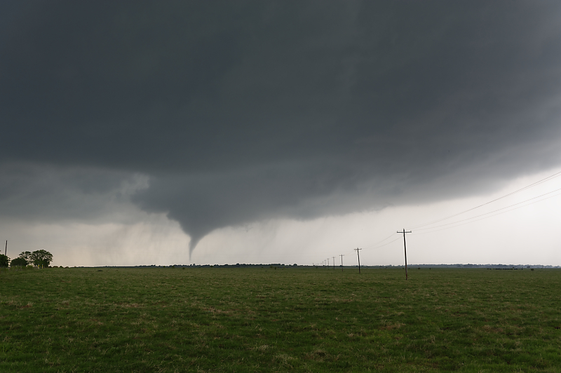
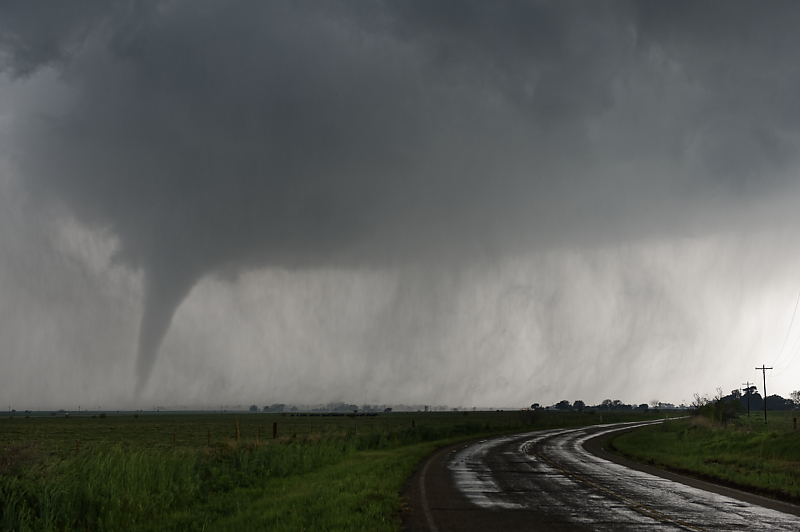
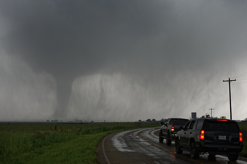
Tornado west of the town of Byers, Texas.
One of those rare days when I've had a close-up view of a picturesque tornado.
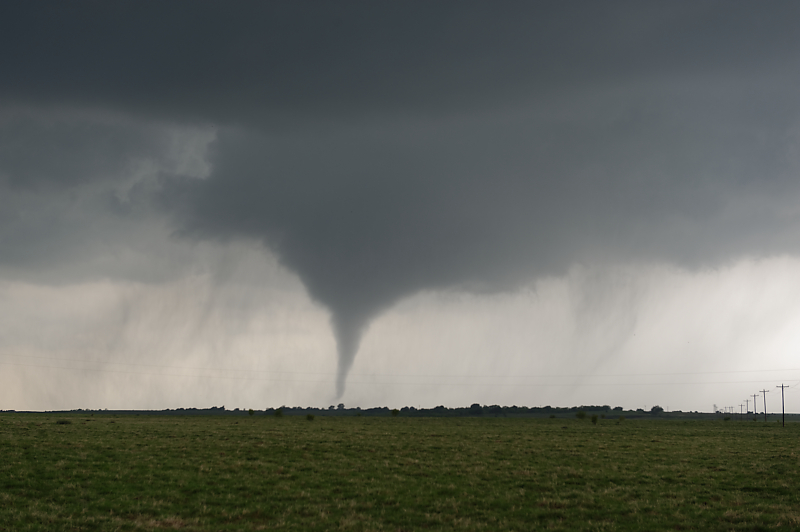
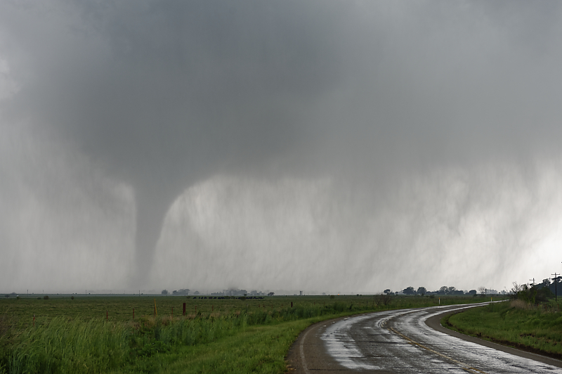
Wide-angle view.
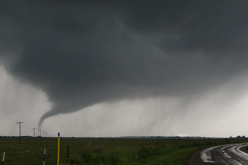
Tornado shows sign of weakening as the funnel stretches.
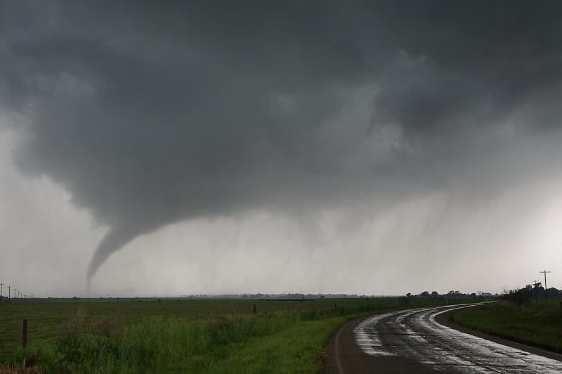
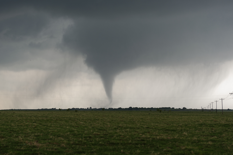
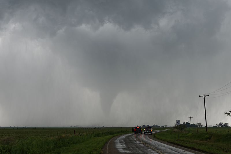
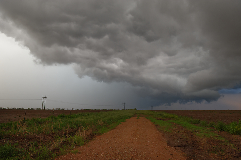
Looking down FM 171.
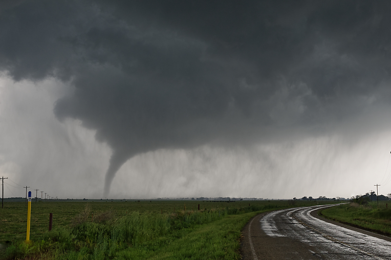
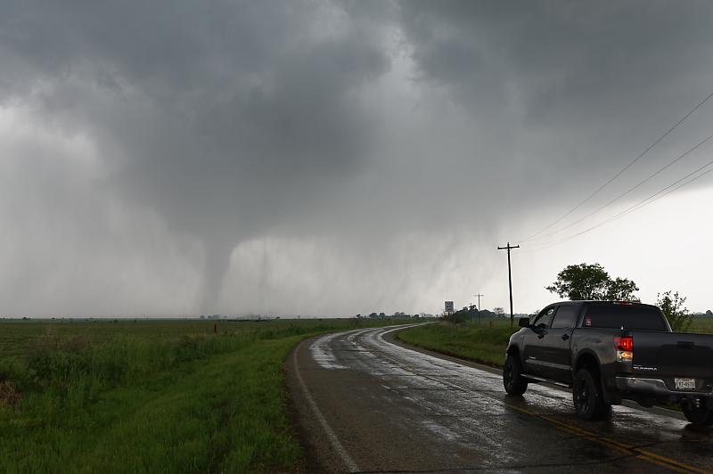
Tornado begins to strengthen.
Rain begins to wrap around tornado circulation.
On the way to becoming rain-wrapped.
Stout tornado is obscured by rain.
Only a handful of chasers are near me on this day with many rotating storms across Oklahoma and Texas.
One of those amazing sights that you can happen upon while looking for severe thunderstorms in the Great Plains.
Last view before the tornado disappears behind curtains of rain.
Tornado hidden by rain, one of the biggest dangers of storm chasing.
That evening near Archer City, Texas, scenic shelf cloud moves overhead.
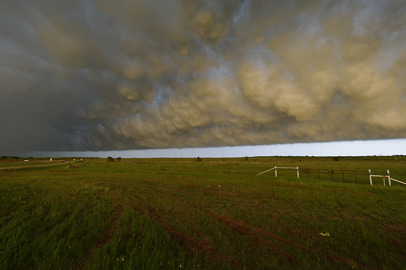
Underside of shelf cloud catching the last rays of sun.
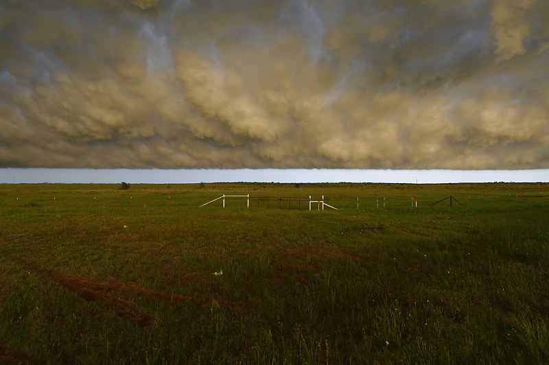
Another view.
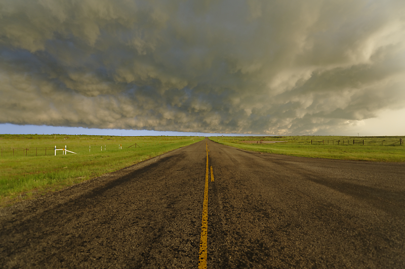
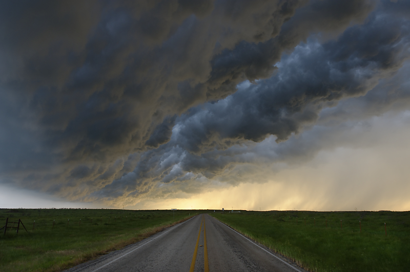
Texas highway at sunset.
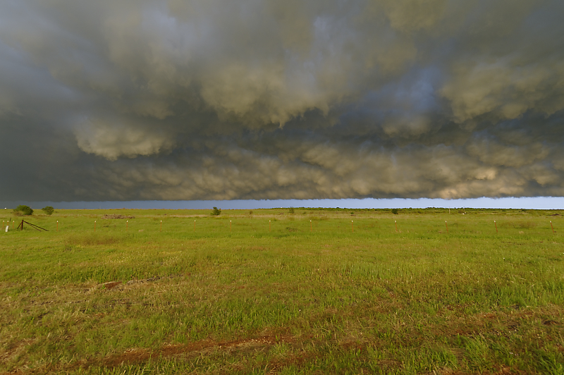
Whale's mouth over a Texas ranch.
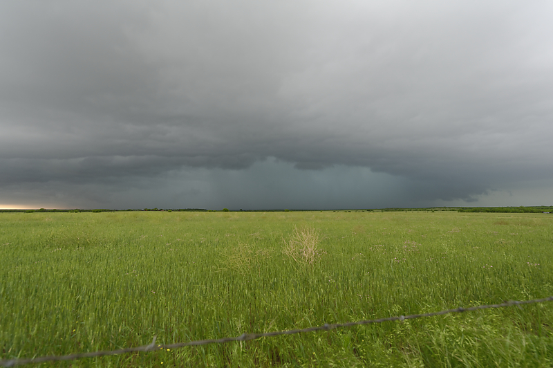
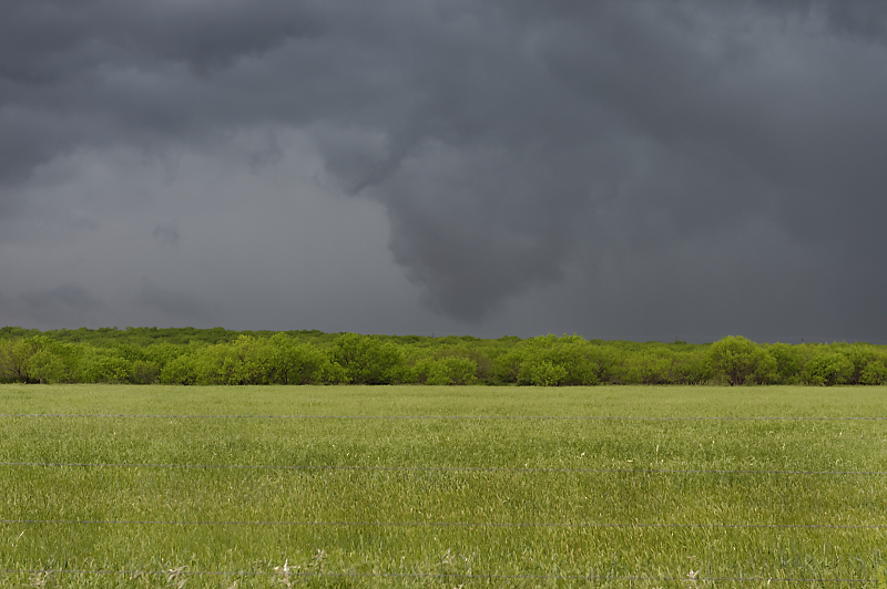
May 1: Northwest Texas Storms
Storm along a cold front east of Haskell, Texas.
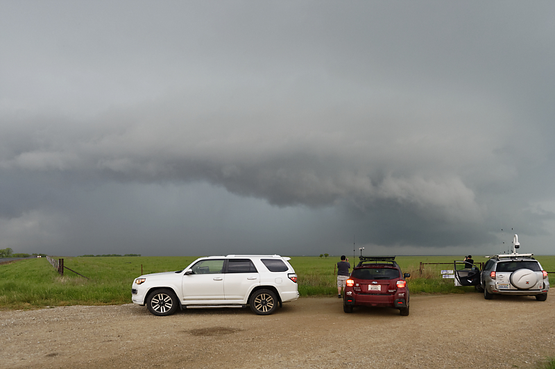
Storm chasers enjoying the view of a severe thunderstorm.
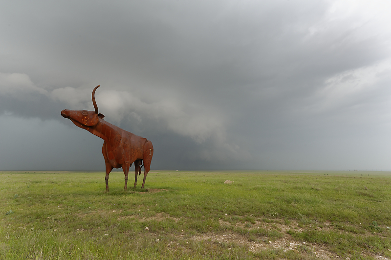
Giant bronze statue along Highway 380 between Haskell and Throckmorton.
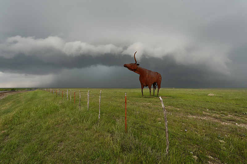
Only in Texas.
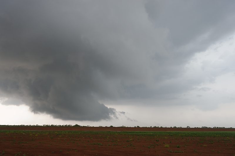
Wide-angle view of outflow-dominated severe thunderstorm.
Scud cloud that could be mistaken for a tornado.
View after sunset.