May 25: Texas Panhandle/Western Oklahoma Storm
On a very hot evening in the Plains, small convective cell forms near Canadian in the eastern Texas Panhandle.
New storm forms in far eastern Oklahoma.
Thunderstorm strengthens slowly as it ingests humid air from southeasterly winds.
Storm moves slowly south-southeast. Mid-level winds are only about 20 knots, at the lower end needed for severe storms.
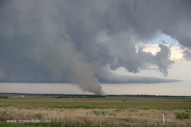
Lightning strike triggers a fire.
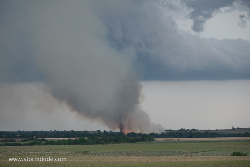
Small fire generates its own vortex.
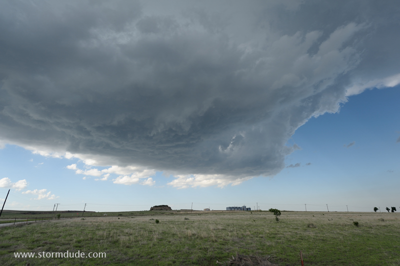
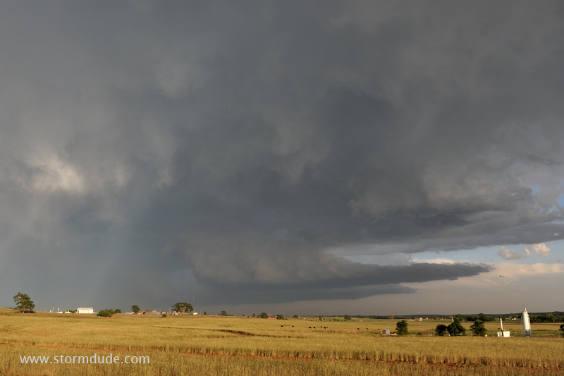
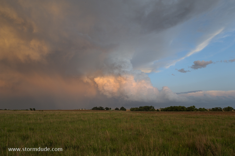
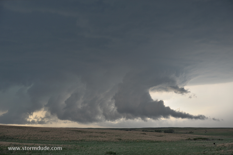
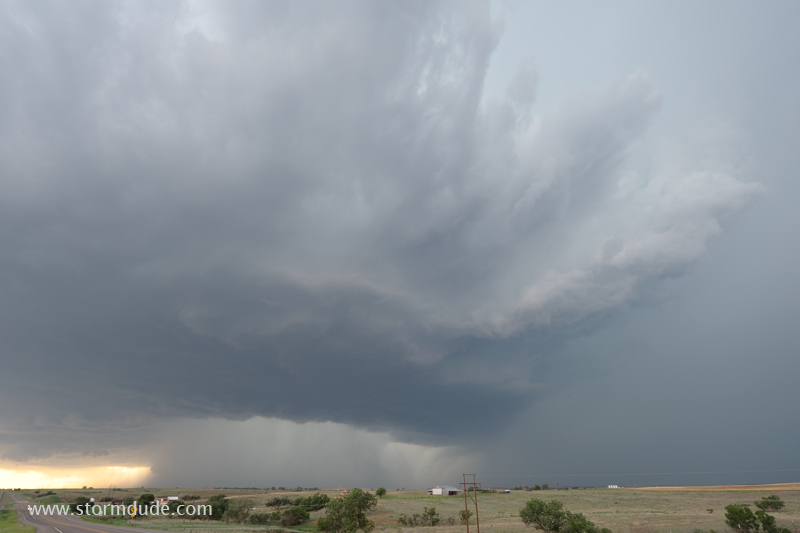
Wide-angle view of storm as it passes over Black Kettle National Grassland in far western Oklahoma.
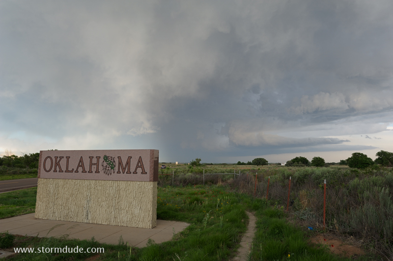
Highway 152 west of Sweetwater, Oklahoma.
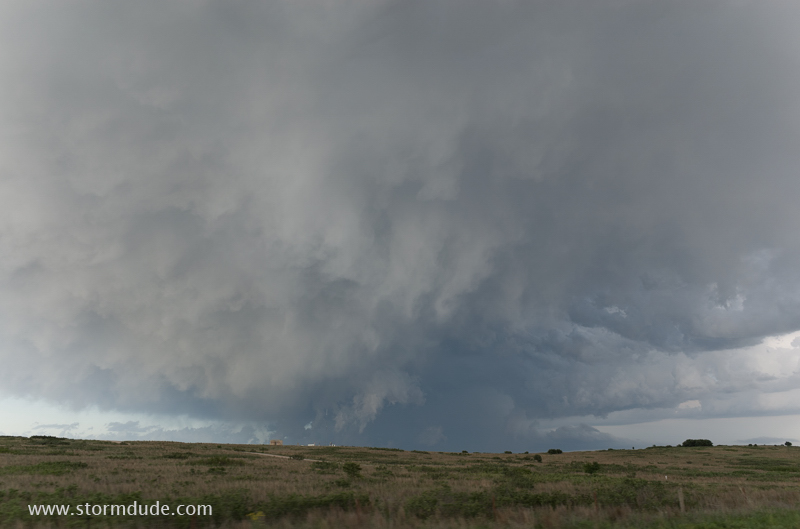
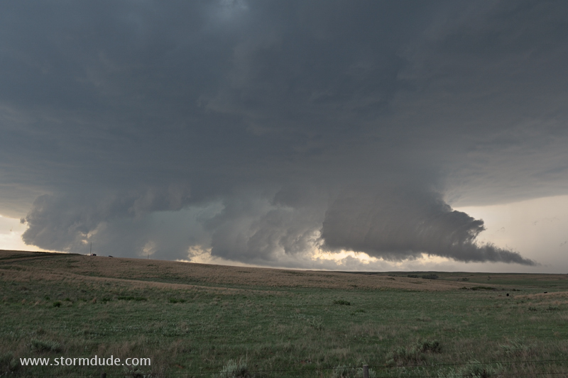
Storm slowly gains strength at sunset.
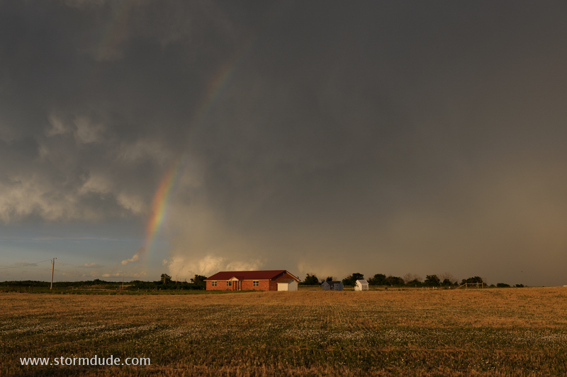
Sunset brings beautiful scenes on the back side of the severe thunderstorm.
View from Highway 30 north of Erick (looking southeast).
Erick, Oklahoma.
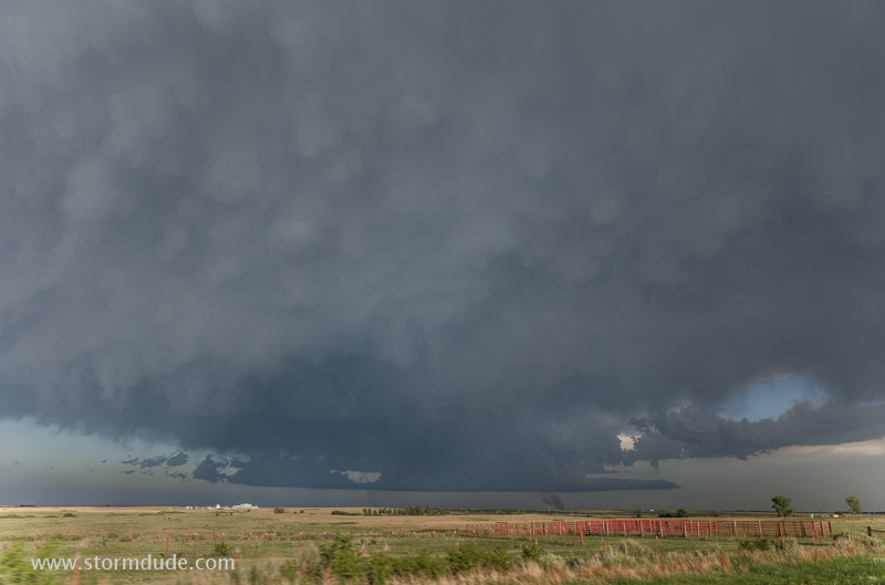
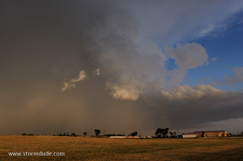
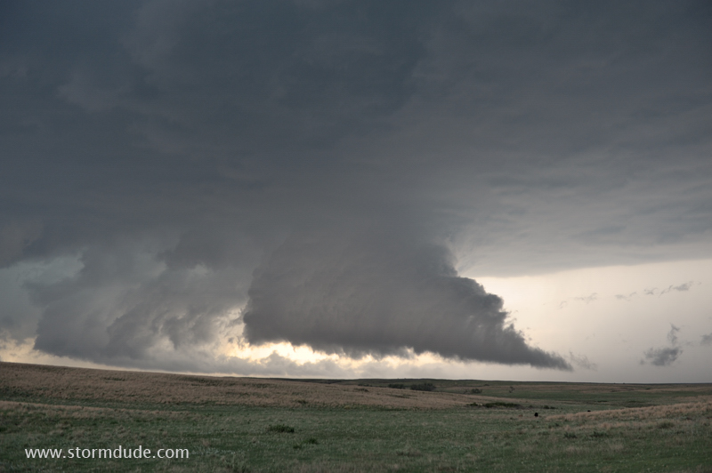
Right front edge of the south-moving storm.
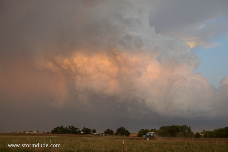
Farmer finishing up some tractor work before dark.
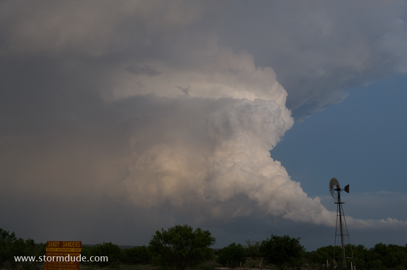
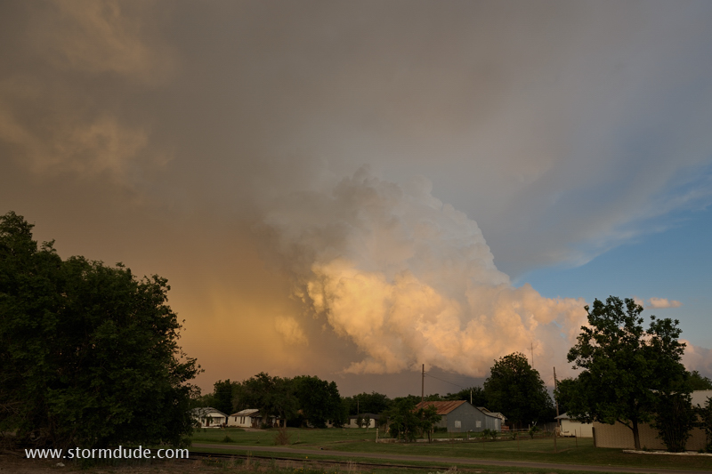
Twilight view of storm from Sandy Sanders Wildlife Management Area.
May 29: Northwest Oklahoma Supercell and Wall Cloud
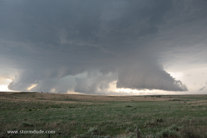
Rare day this spring with good balance of CAPE and shear, likely to produce photogenic supercells.
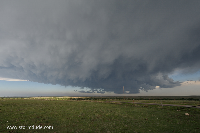
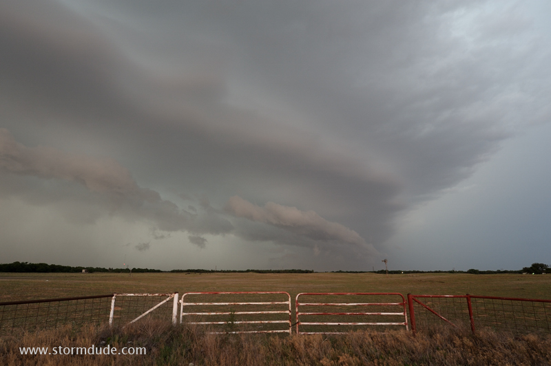
Storm strengthens as it approaches Highway 34 near the Kansas border in northwestern Oklahoma.
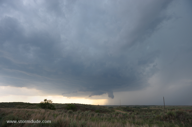
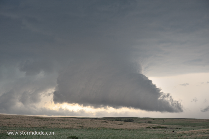
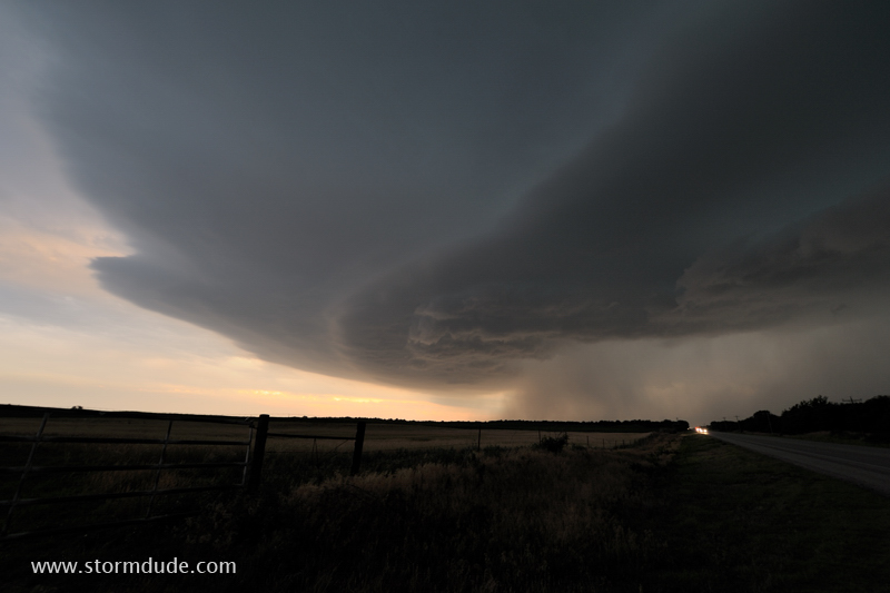
Wide-angle view of the large updraft base with a wall cloud on the leading edge.
Saturated air flows out of the rainy forward flank downdraft and condenses at low levels as it rises into the updraft.
Breathtaking sight only about a mile in front of me.
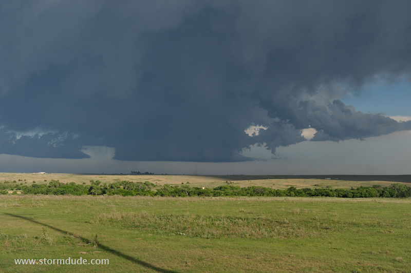
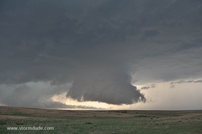
Wide-angle view.
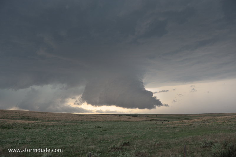
This interaction of updraft and downdraft, near the forward right flank of the thunderstorm, is the favored location for tornado formation.
Wall cloud is not rotating, so a tornado does not appear likely.
As the wall cloud nears Highway 34, I move south, in this case to avoid large hail rather than a tornado.
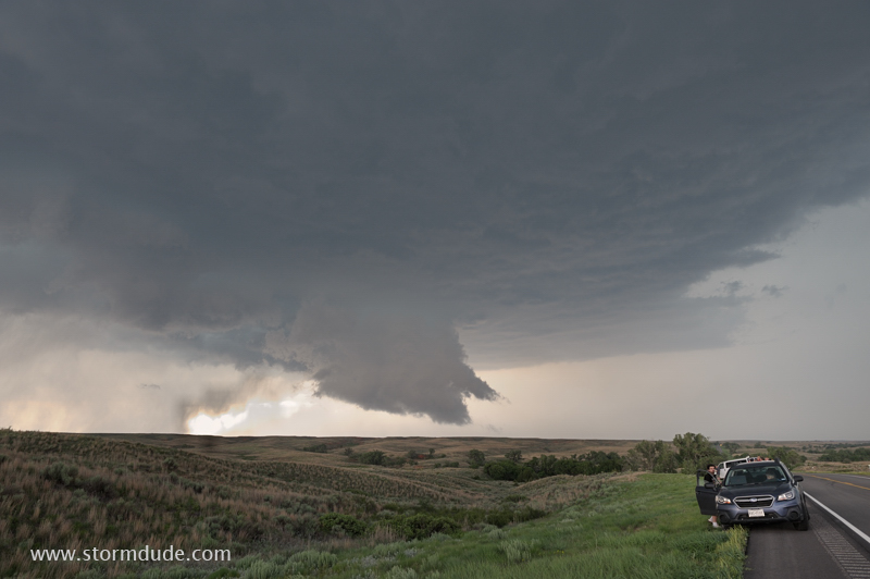
View from ahead of the storm, on Highway 64, as downdrafts take over.
Dusk brings new photo opportunities at the leading edge of the storm.
Tornado sirens are blaring in the town of Cleo Springs as the storm passes overhead.
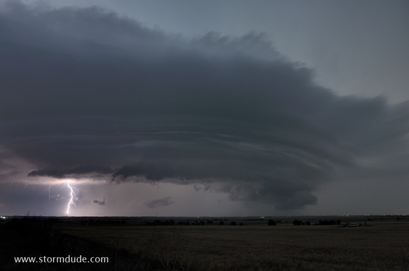
After dark a little west of Enid, Oklahoma.
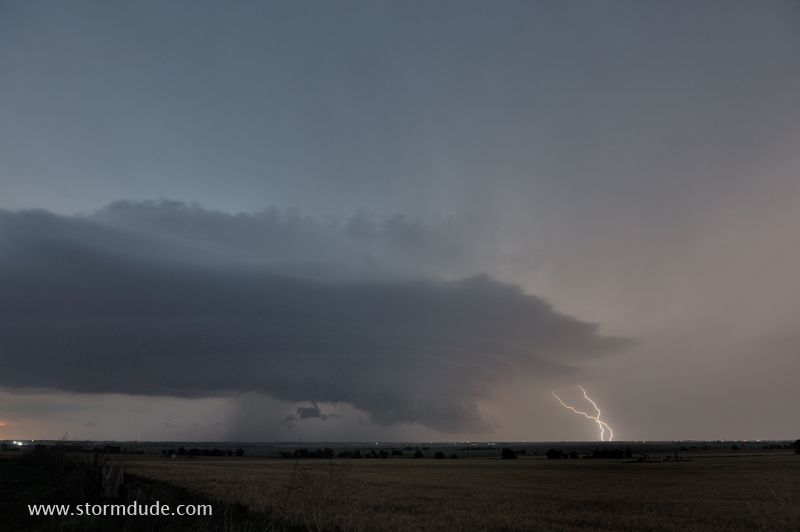
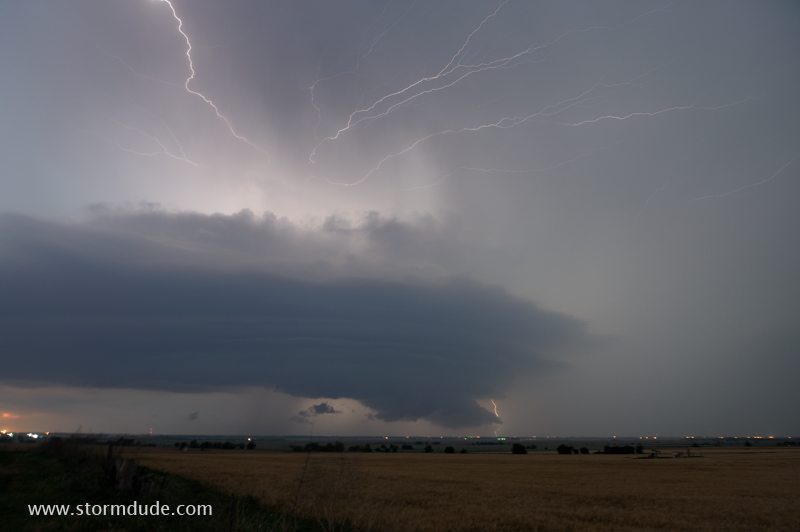
Shelf cloud is illuminated by frequent lightning.
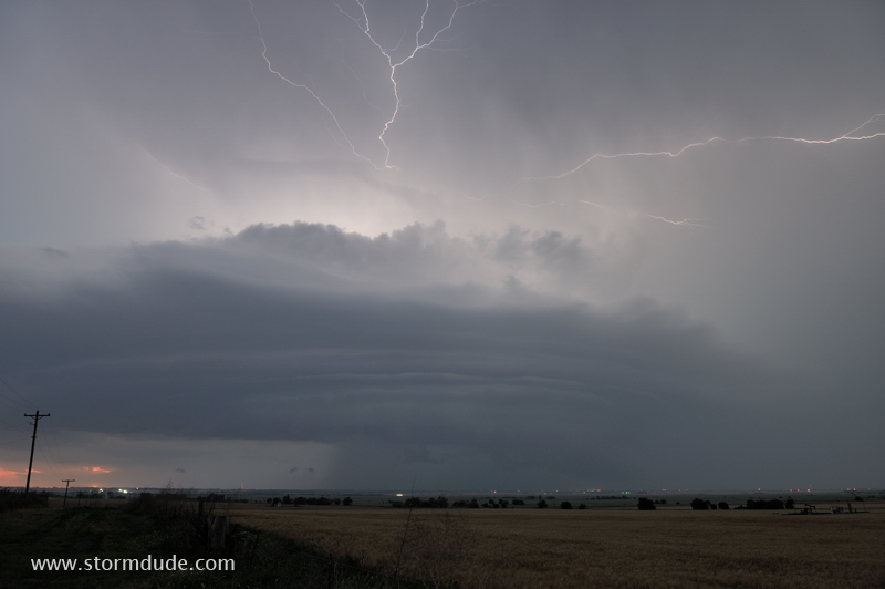
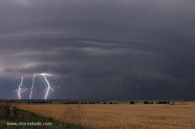
Frequent lightning is easy to capture with long exposures.
Lightning shows are one of the joys of storm chasing.
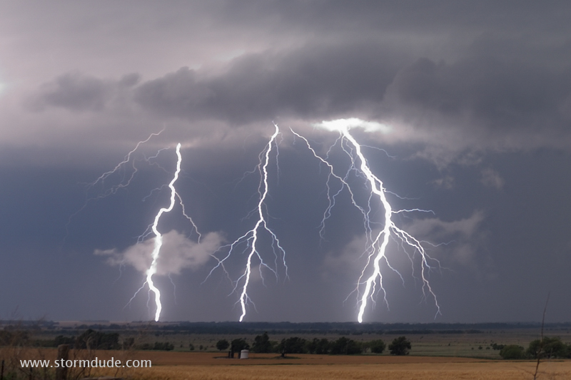
Breathtaking storm structure appears with every new strike.
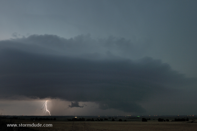
Storm moves slowly as it passes a couple of miles to my north.
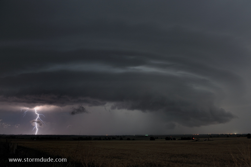
My favorite shot of the evening.
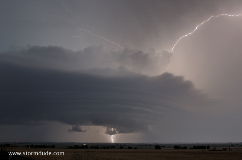
Zoomed-in view.
One last photo from a very rewarding day of storm watching.