May 30: Texas Panhandle Storm
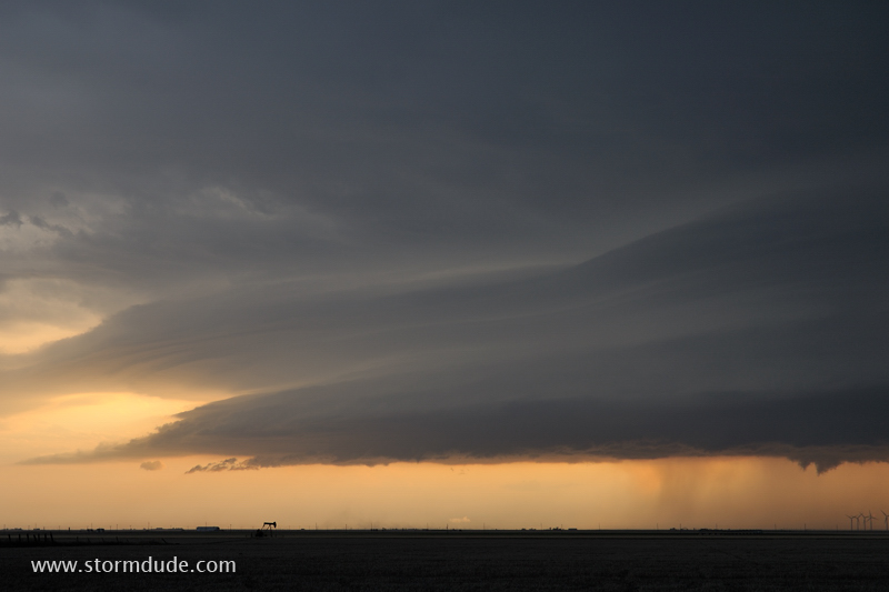
Late day storm near the town of Farnsworth in the northern Texas Panhandle.
High-based, outflow-dominated thunderstorm on a hot Texas evening.
Leading edge of the storm has a beautiful layered structure. This is caused by a wedge-like lifting of hot, humid air by a cool gust front pushing ahead of the storm.
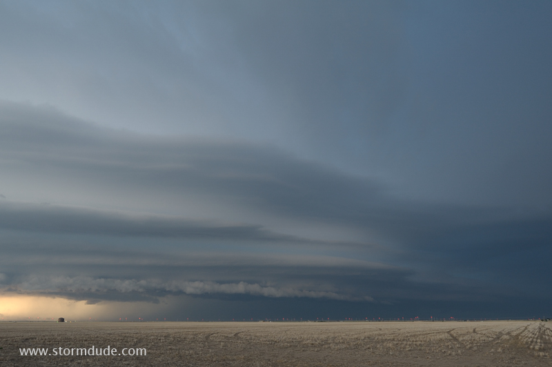
Wide-angle view of spectacular structure a little after sunset.
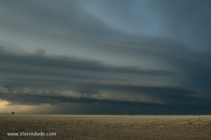
Last shot before I get hit by cool 50 mph winds.
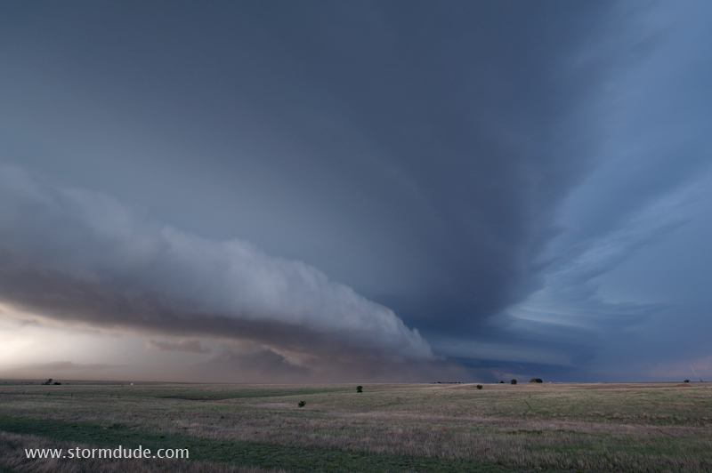
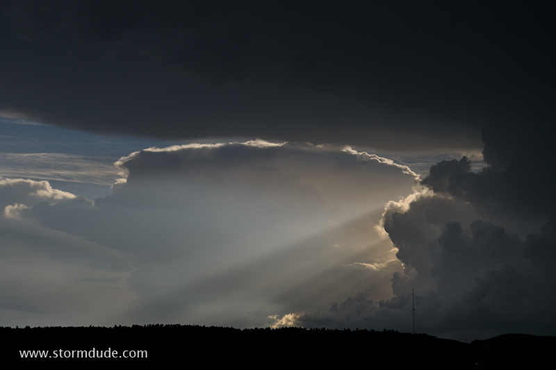
June 5: South Dakota Thunderstorm
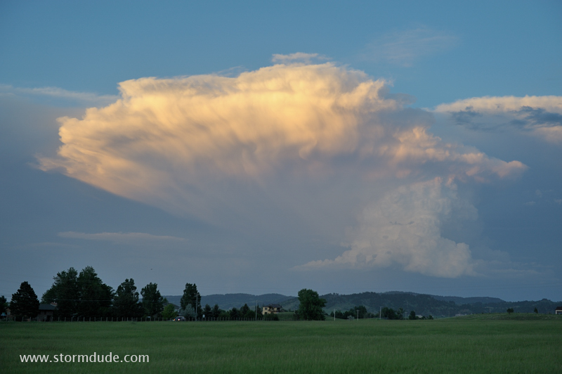
Sunset thunderstorm in South Dakota. A "death ridge" of high pressure has chased me north for the rest of the season.
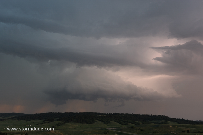
June 8: Black Hills Supercell
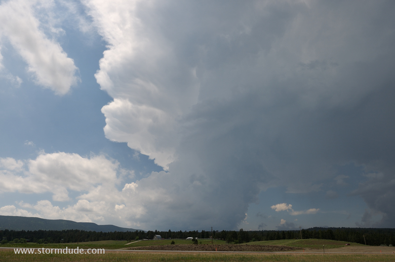
Thunderstorm develops early in the afternoon near Sturgis, South Dakota.
Storm moves slowly south-southeast over the Black Hills.
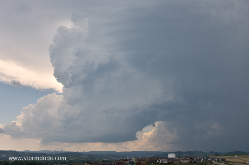
View looking west across Rapid City.
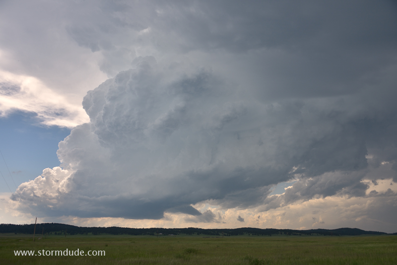
Little rotation to the storm due to weak wind shear.
Last view before it falls apart.
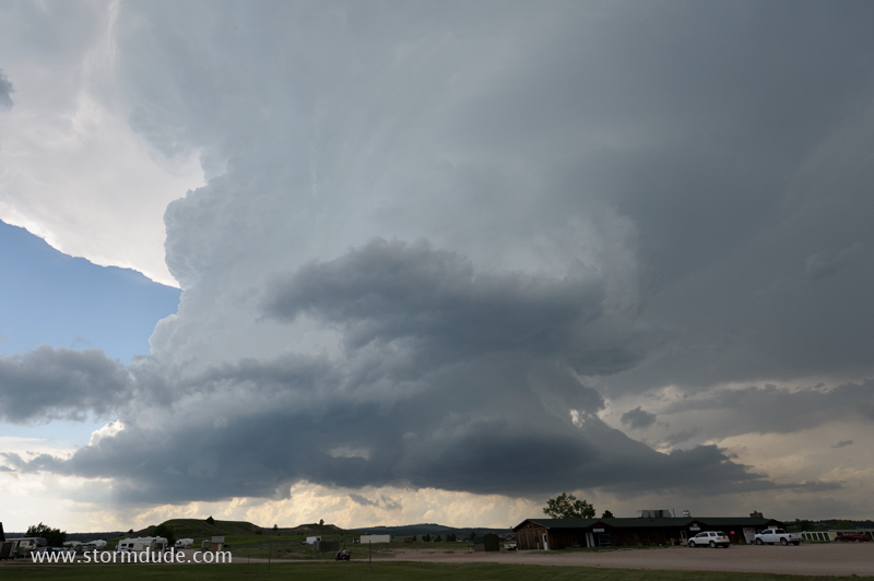
I head east to intercept another storm in far northeast Wyoming.
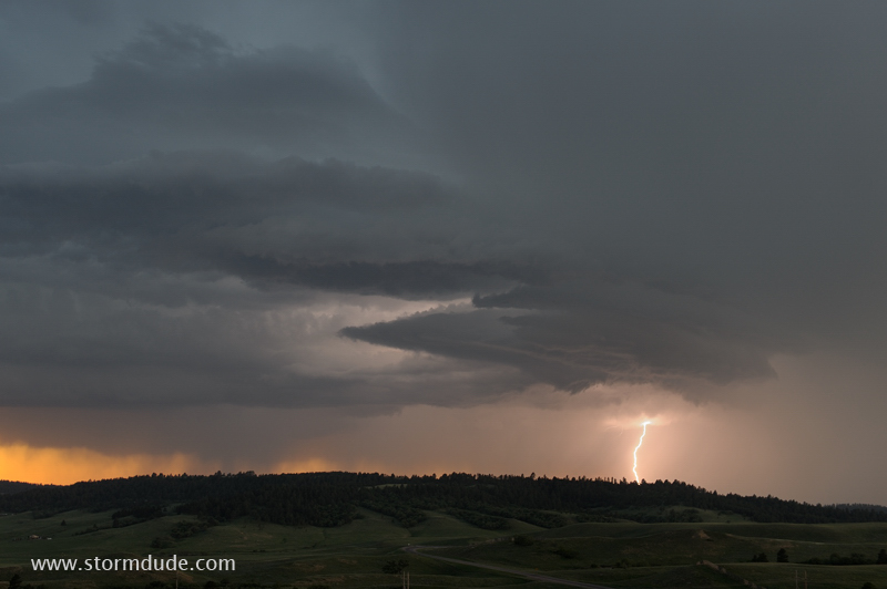
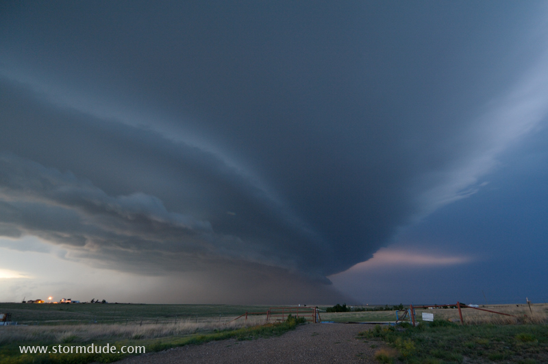
Severe thunderstorm at sunset near Sundance, Wyoming.
Shelf cloud forms after dark.
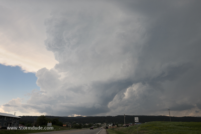
June 9: Northern Wyoming Thunderstorm
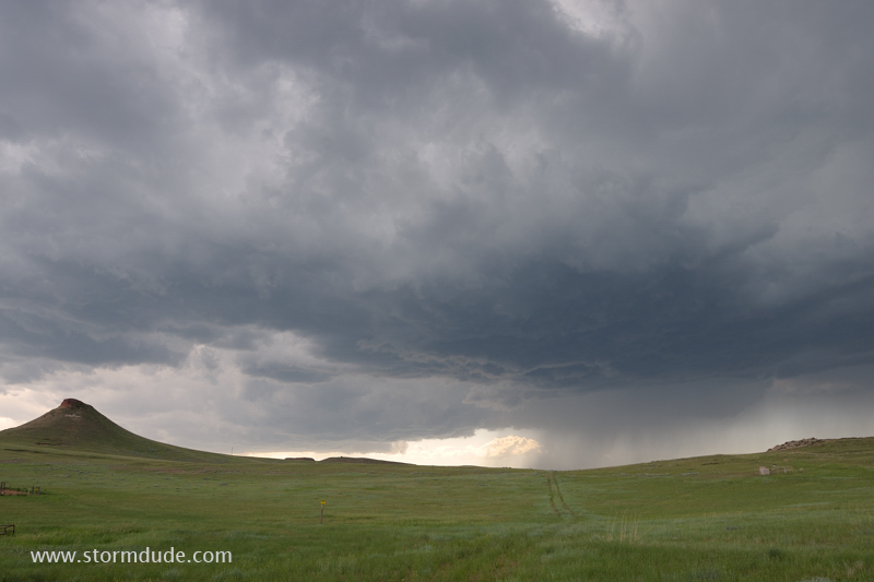
High-based thunderstorm in northern Wyoming ends my season. Thunderstorms were plentiful, but supercells rare.