April 21: North Texas Storm
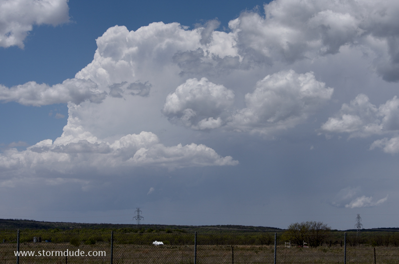
Thunderstorm develops ahead of weak surface low in northwest Texas.
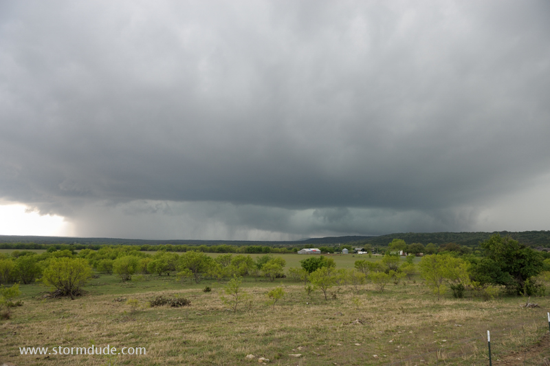
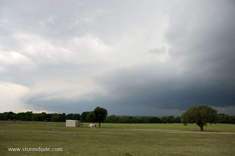
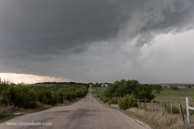
Storm strengthens near Graford, Texas, west of Ft. Worth.
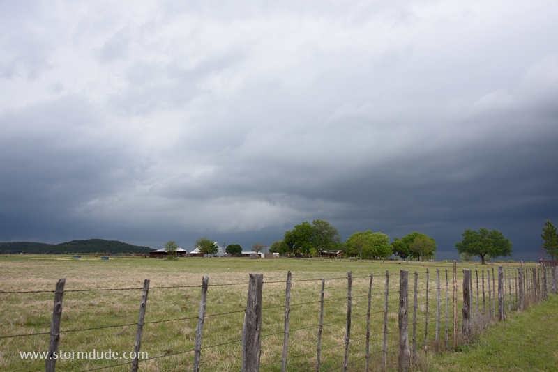
Cattle ranch ahead of storm.
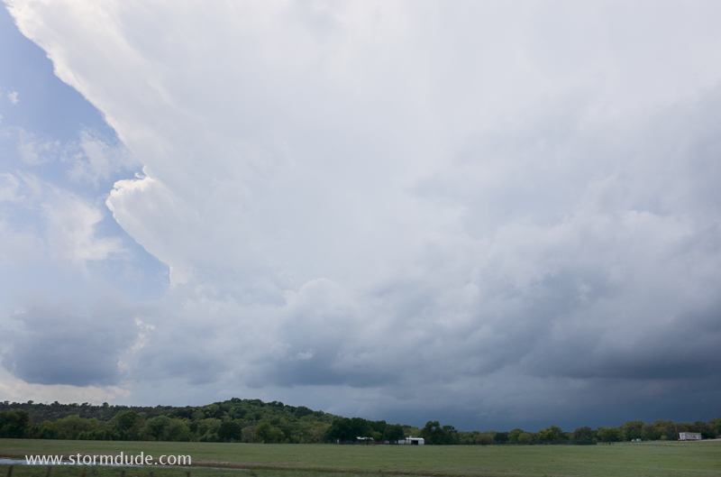
Looking due west as storm approaches.
After some nickel-size hailstones, I head east on Highway 254 to stay ahead of the storm.
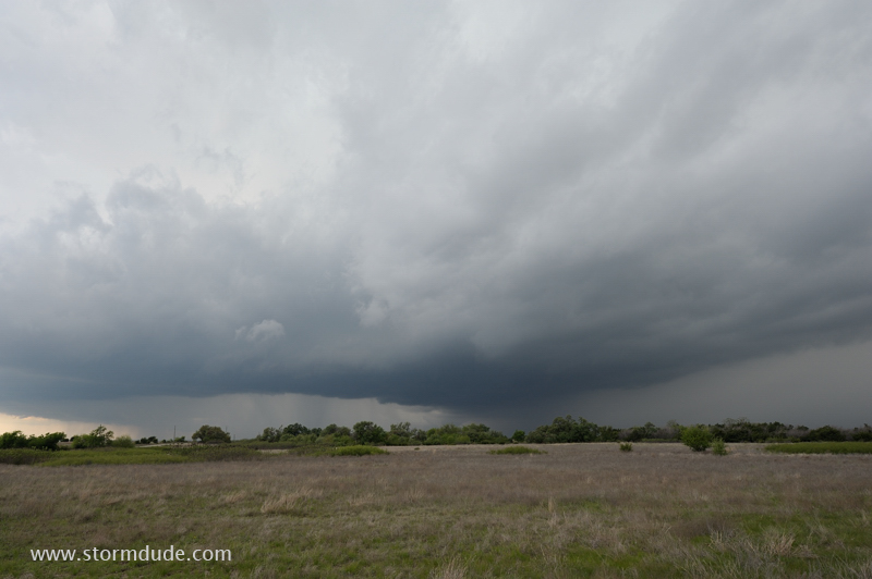
The storm moves southeast towards Weatherford.
Thunderstorm is only marginally severe due to low levels of both vertical wind shear and CAPE (Convective Available Potential Energy).
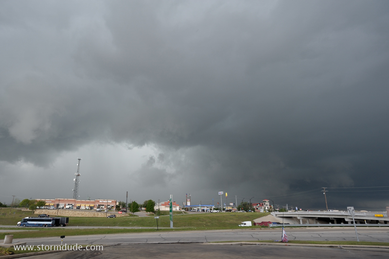
Storm over Weatherford, a little west of Ft. Worth.
Thunderstorms form back towards the southwest.
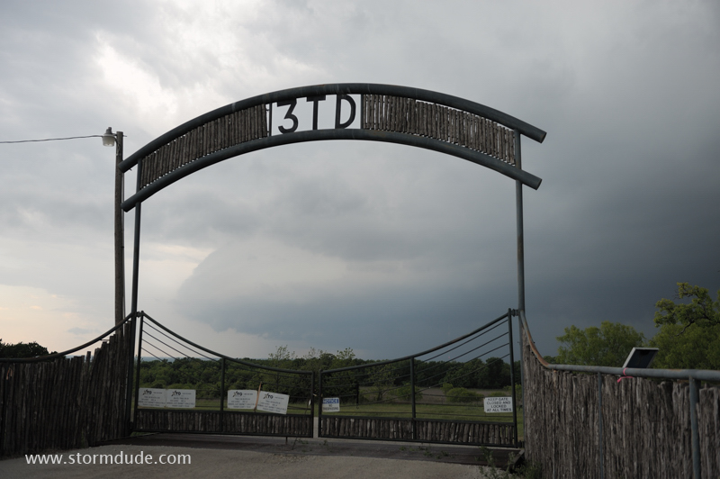
Entrance to cattle ranch south of Weatherford.
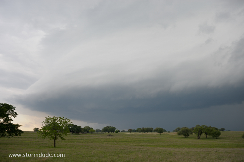
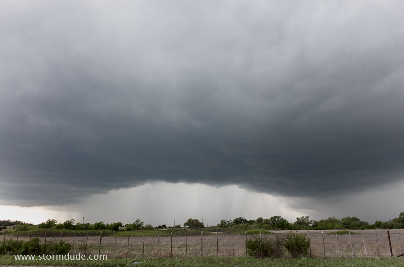
Leading edge of storm passes over grazing land.
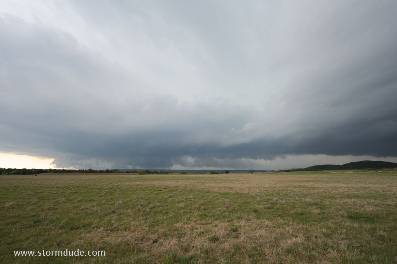
Nothing severe at this point, but still scenic.
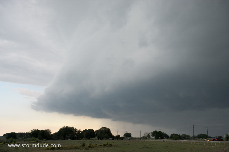
Last shot before the storm passes over me.
April 29: Southwest Kansas thunderstorm
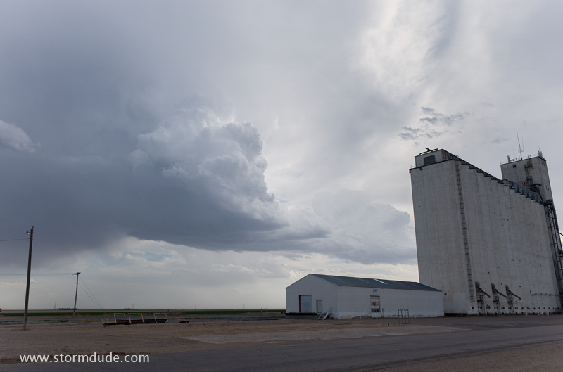
High-based thundershower near Johnson City in southwest Kansas.
Looking south at small updraft.
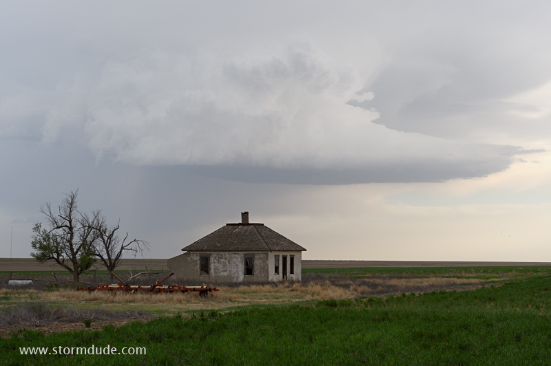
Another high-based thunderstorm develops west of Syracuse, Kansas.
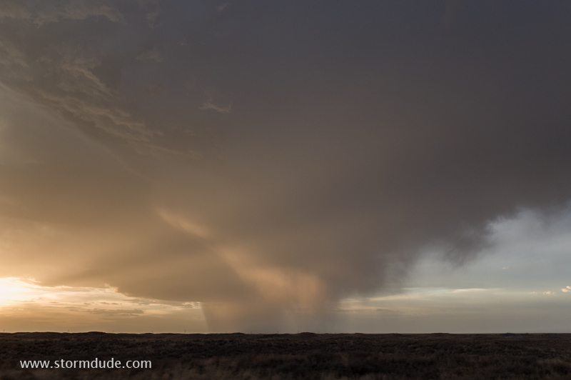
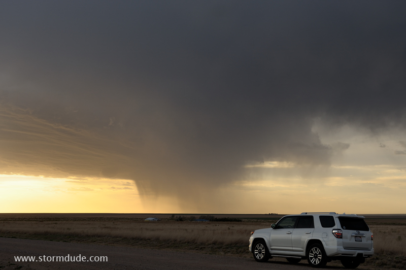
Odd shape at sunset. This closes out a very quiet April for supercells.