May 1: Central Kansas Tornado
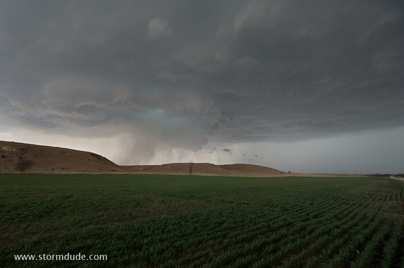
Severe storm develops along the dryline in central Kansas, between the towns of Paradise and Waldo (really!).
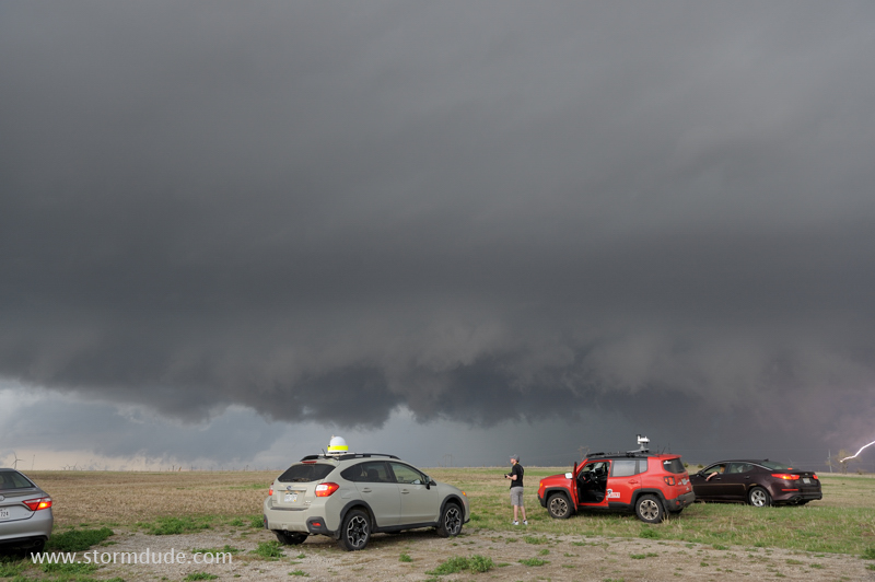
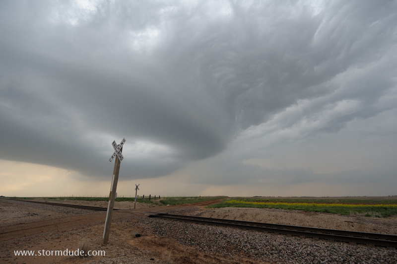
Next storm south along the dryline, a few miles north of Hoisington, Kansas. Good shear and CAPE today, by far the best of the season so far.

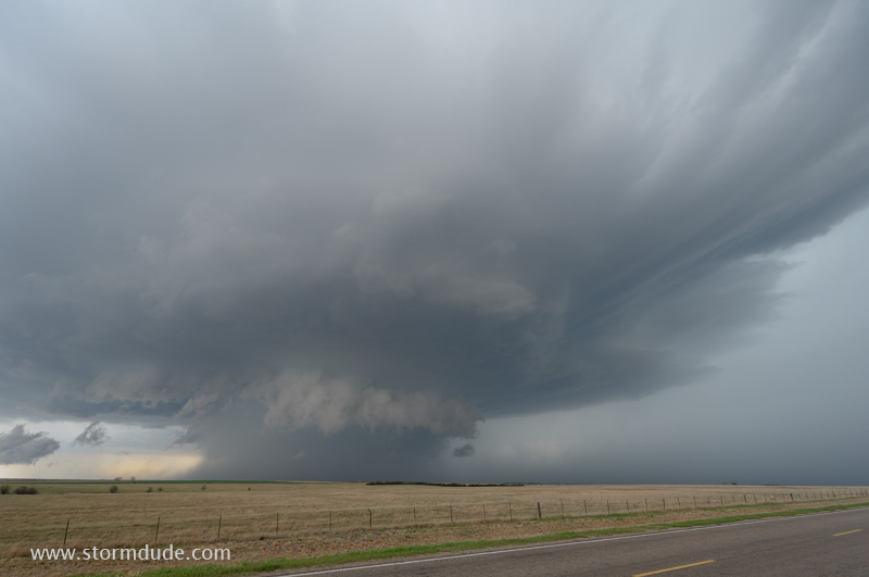
Storm intensifies as it moves east-northeast.
Core of storm passes just north of Interstate 70 between Russell and Salina.
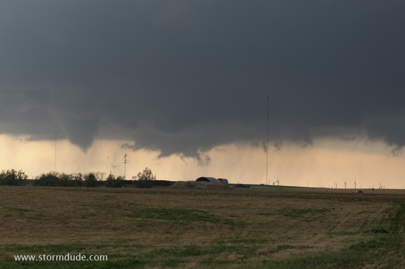
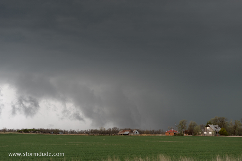
Funnel cloud descends but soon lifts. All factors are in place for a strong tornado to develop.
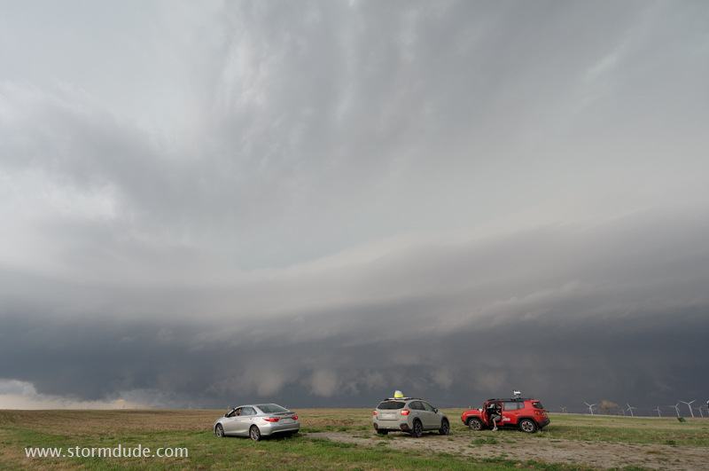
Ragged lowering passes a couple of miles to my north.
Near the town of Westfall. Due to a poor road system, I must head south to I-70, and then east and north, to get back in position to see any tornadoes.
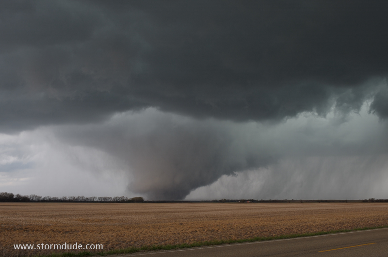
Twenty minutes later, by the town of Culver, a breathtaking view of a nearby tornado.
Normal 50mm lens gives the best feel of the true distance to the tornado (about four miles away).
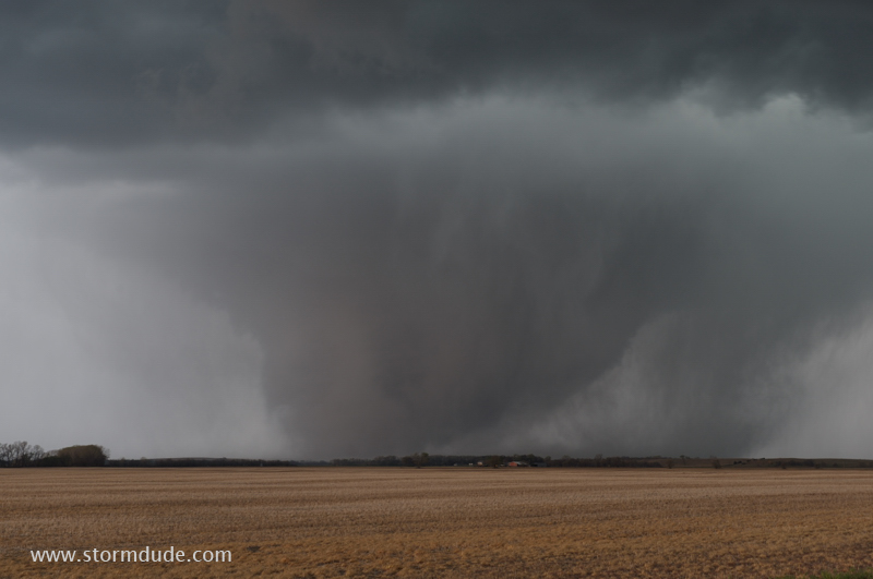
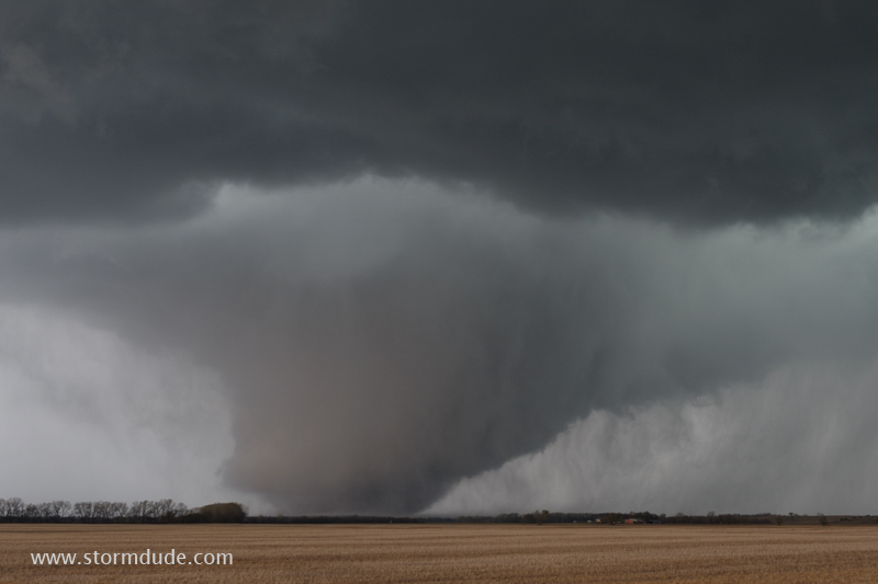
Rain begins to wrap around the tornado.
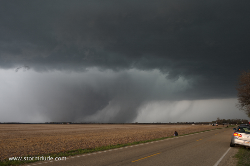
Wide-angle view.
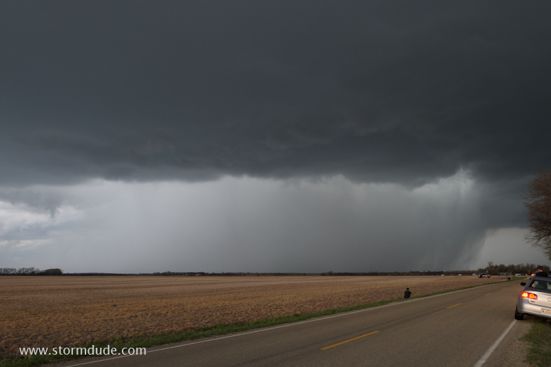
Now fully rain-wrapped.This is one of most dramatic tornadoes I've seen in 25 years of storm chasing.
May 2: Western Oklahoma Thunderstorm
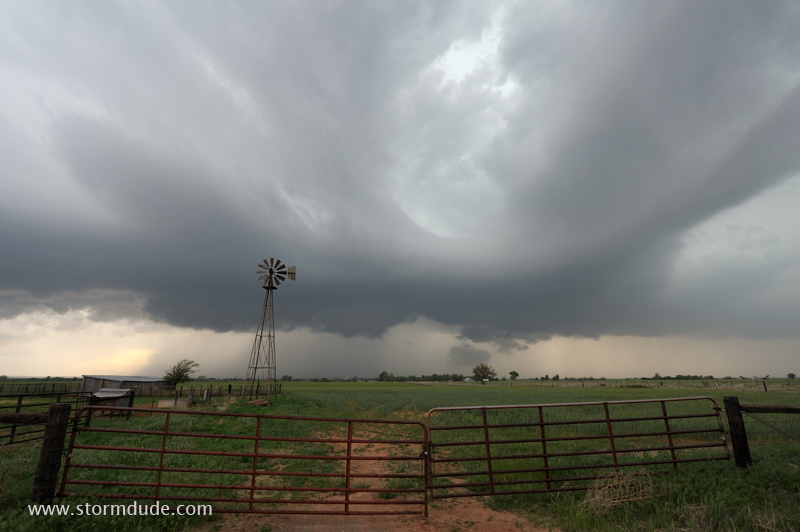
Storm over an Oklahoma cattle ranch.

It weakens southeast of Enid, Oklahoma.
Last view before sunset.