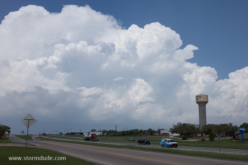
March 27: Southwest Texas Storm
Waiting for storms to develop in southwest Texas on an early spring afternoon.
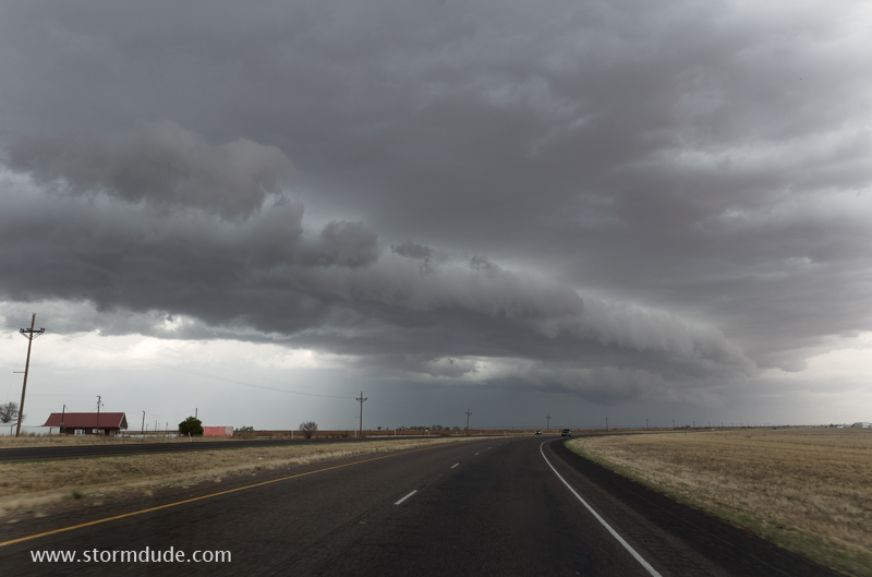
Weak line of thunderstorms approaches Highway 62 north of Seminole, Texas.
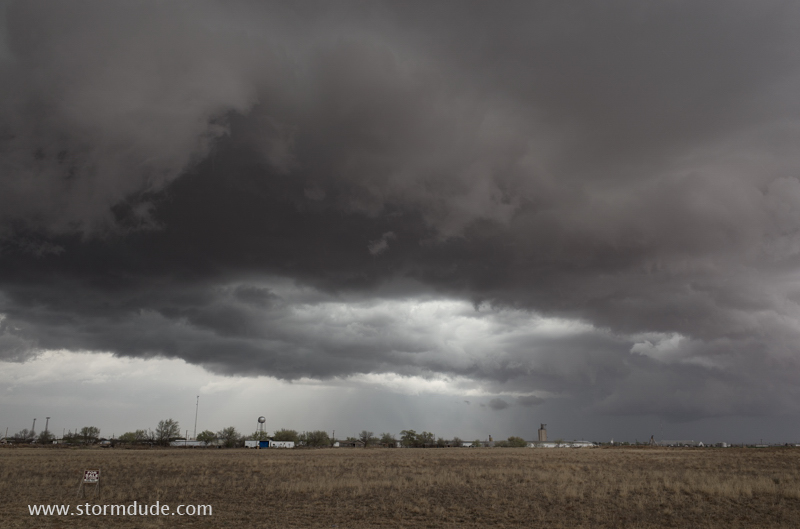
Storm over Seagraves, about sixty miles southwest of Lubbock.
Minimal CAPE today with strong northeast winds at the surface under a very strong jet stream from the southwest.
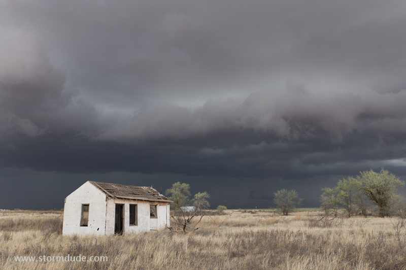
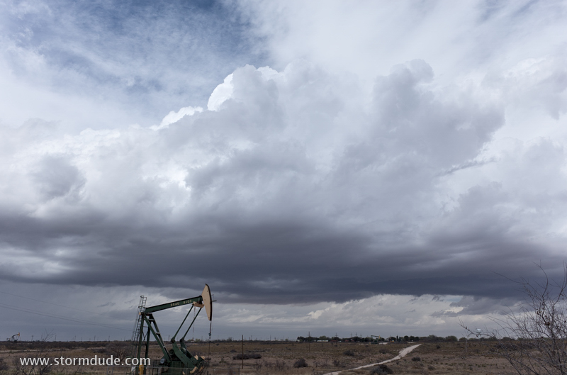
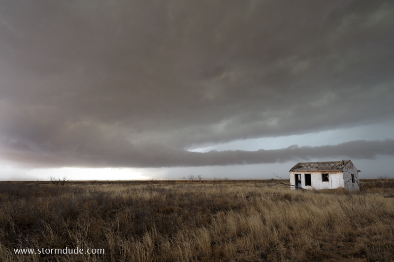
Always on the lookout for interesting rural scenes, especially on marginal days when supercells aren't likely.
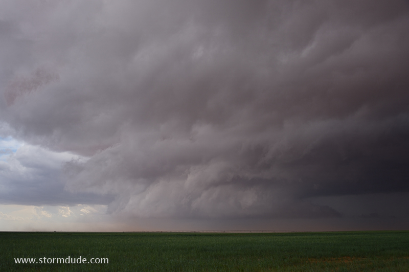
A few miles south of Seagraves, looking southwest at a small lowering underneath a ragged updraft base. Blowing dust obscures the view.
Back north again to stay ahead of the storm's core.
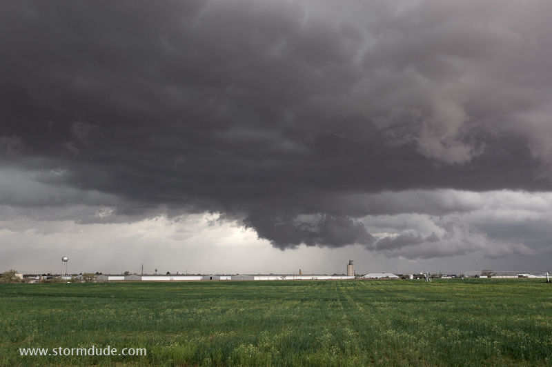
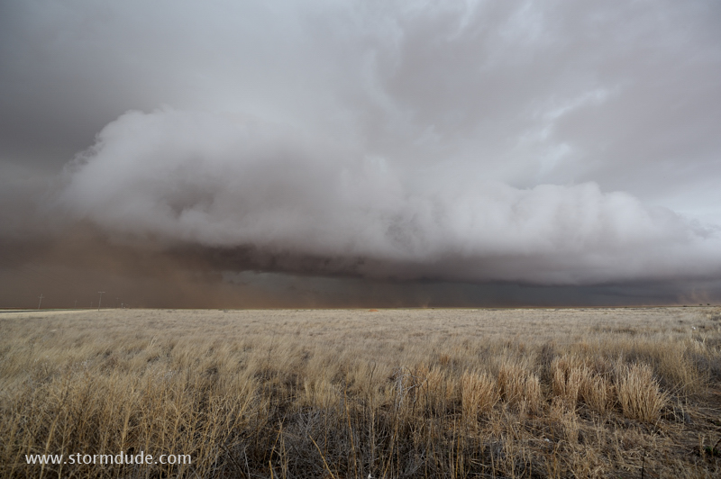
Storm reaches peak strength just east of Seagraves.
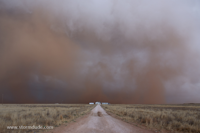
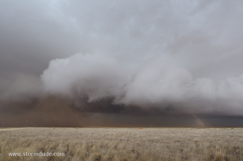
Strong winds stir up dirt from freshly plowed fields.
Gustnadoes form at leading edge of gust front, beneath a forming shelf cloud.
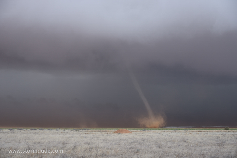
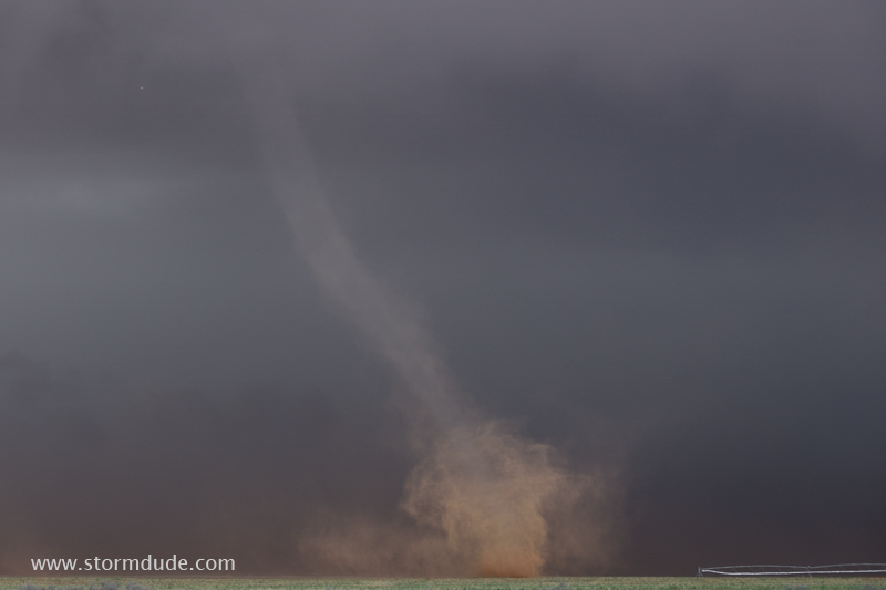
Landspout tornado forms about a hundred yard to my west, just north of Highway 83.
Dust is pulled up from a freshly plowed field.
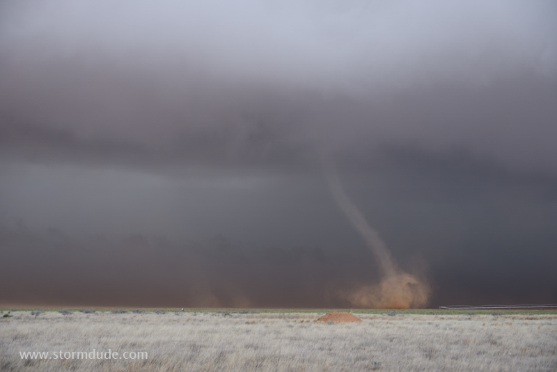
Zoomed in view.
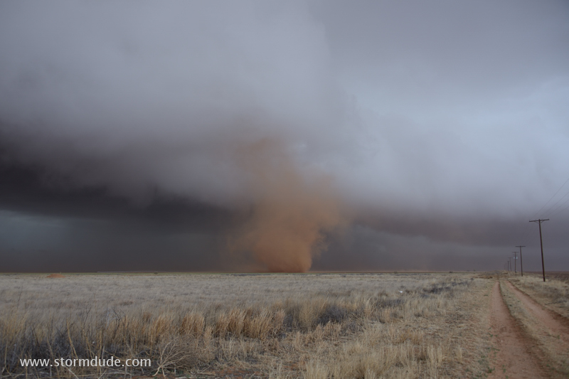
A larger funnel forms just to my north.
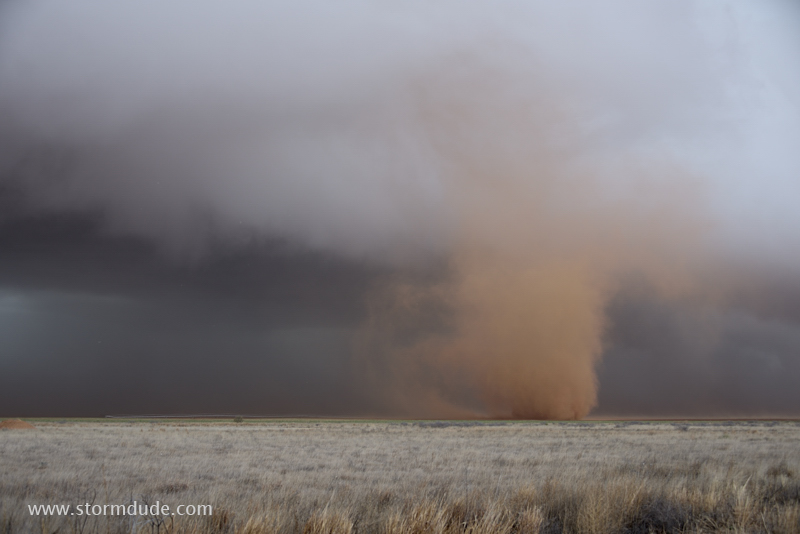
Close-up view of this weak, slow-moving vortex.
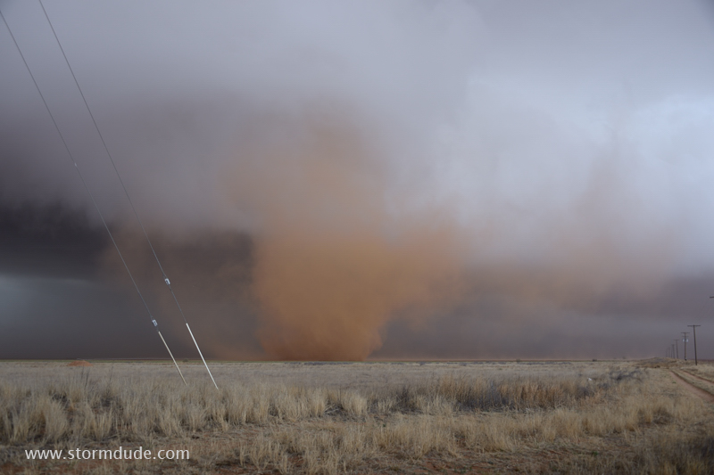
Just before it dissipates.
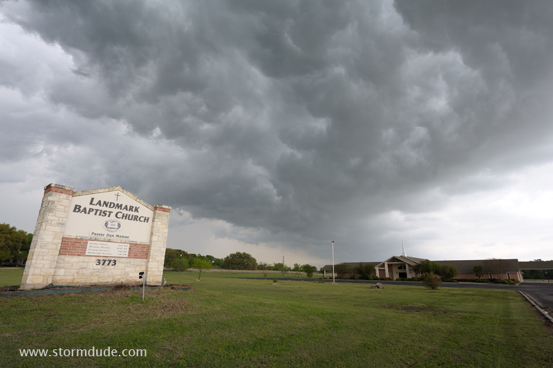
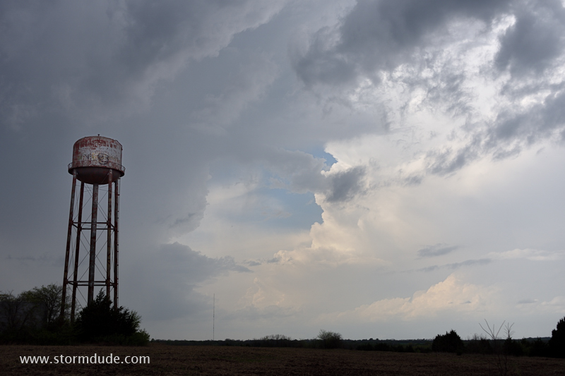
April 3: Central Texas Storm
Line of thunderstorms develops south of Ft. Worth.
Underside of shelf cloud as the storm weakens.
April 6: North Texas Storm
Supercell forms in north central Texas, but then turns south and heads into the Dallas metro area during rush hour. I head north to avoid getting stuck in the path of baseball-size hail.