May 24: Western Kansas Supercells and Tornadoes
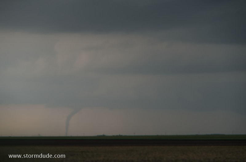
During my drive north to intercept a supercell, I spot a distant tornado northeast of Scott City.
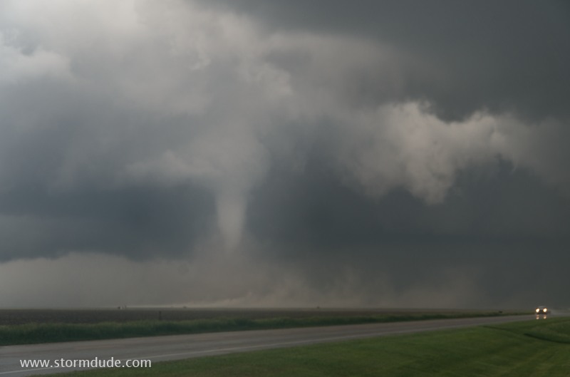
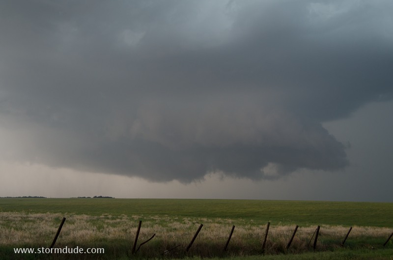
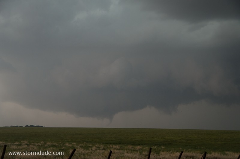
The tornado lifts, but a few minutes later, a white lowering just to my northwest is showing signs of rotation, so I pull over to watch.
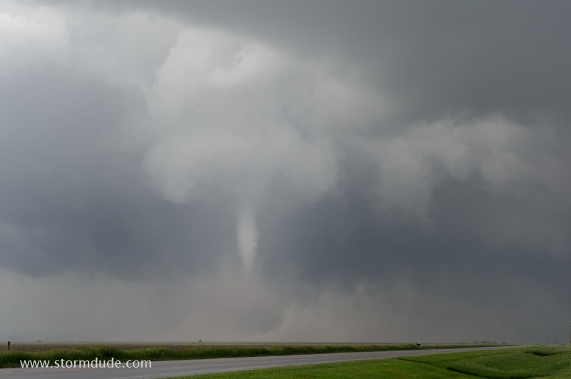
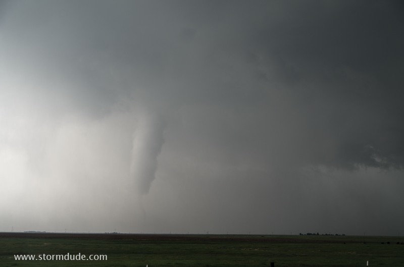
A funnel begins to descend.
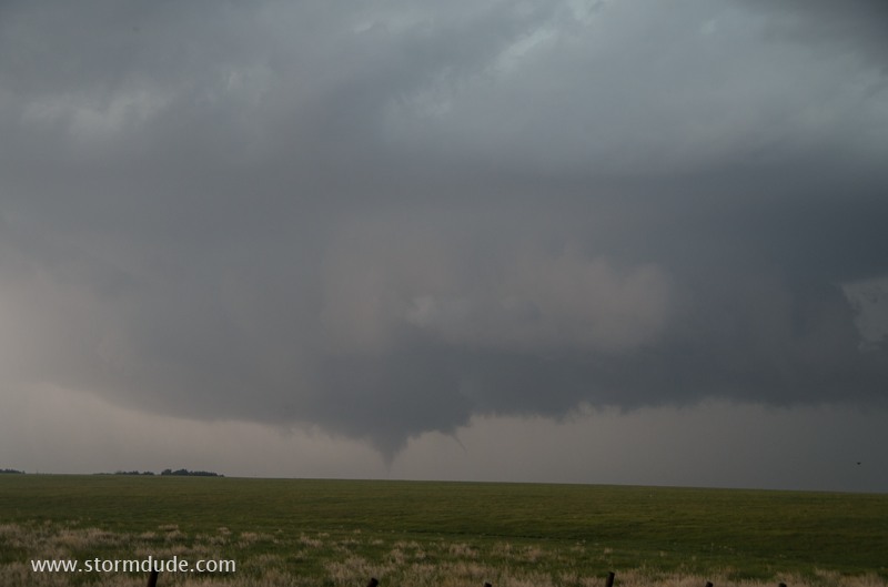
Tornado touches down in the next pasture to the northwest.
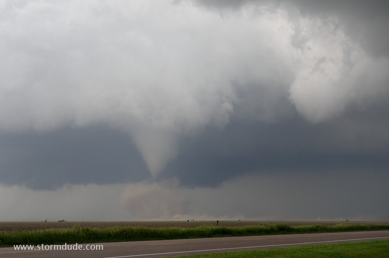
It stirs up dirt at its base.
It's not often I have a front-row seat to a scenic tornado.
The tornado will pass to my north.
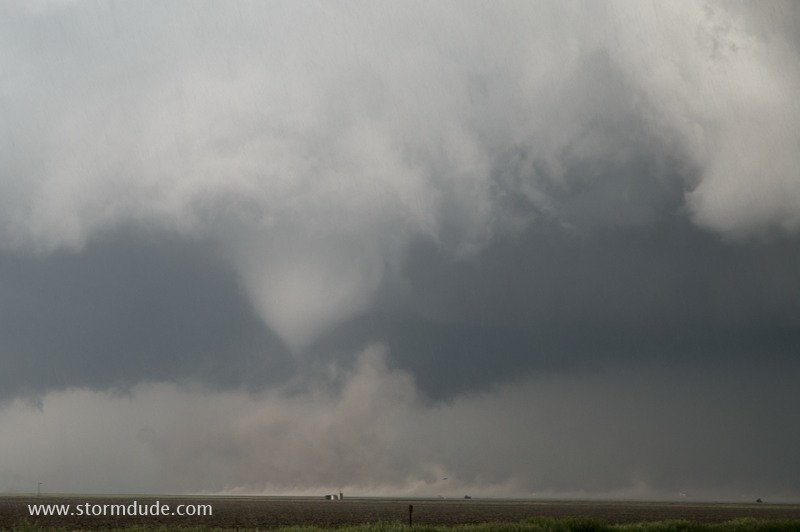
Wide-angle view.
Tornado whipping things up.
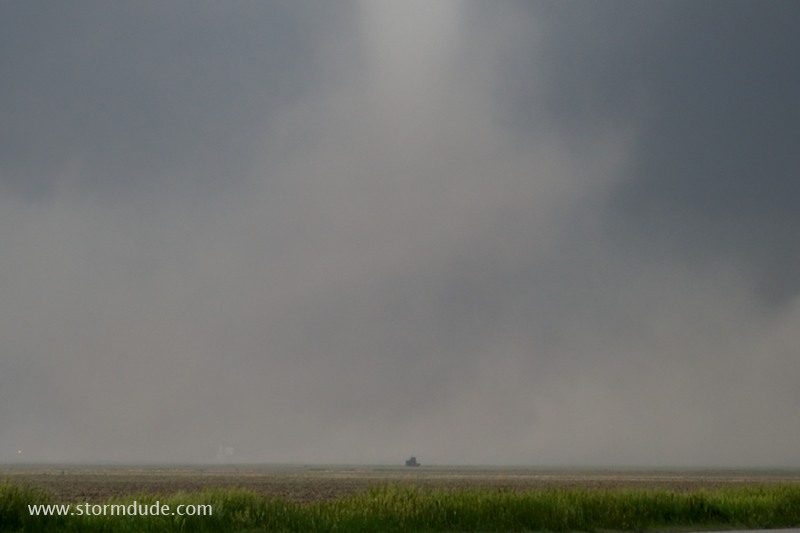
Closer than I normally get to a tornado, but I am safely south of the path.
Zoomed-in view shows what it's like to be one field over from a tornado.
Moderate mid-level winds, a strong surface low and high CAPE is helping generate storm rotation today.
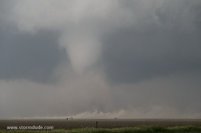
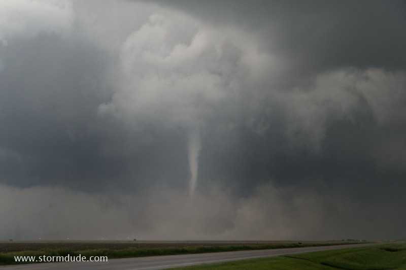
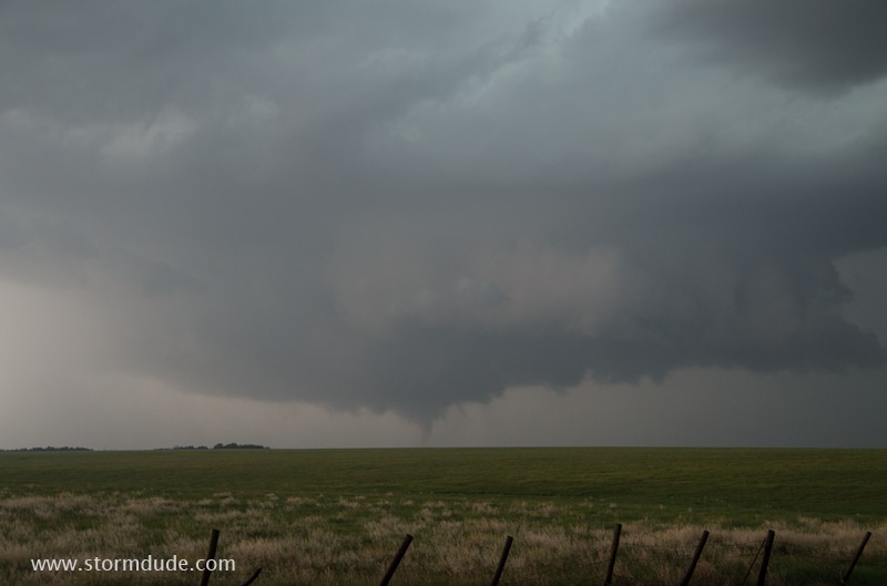
The tornado narrows as it approaches the highway.
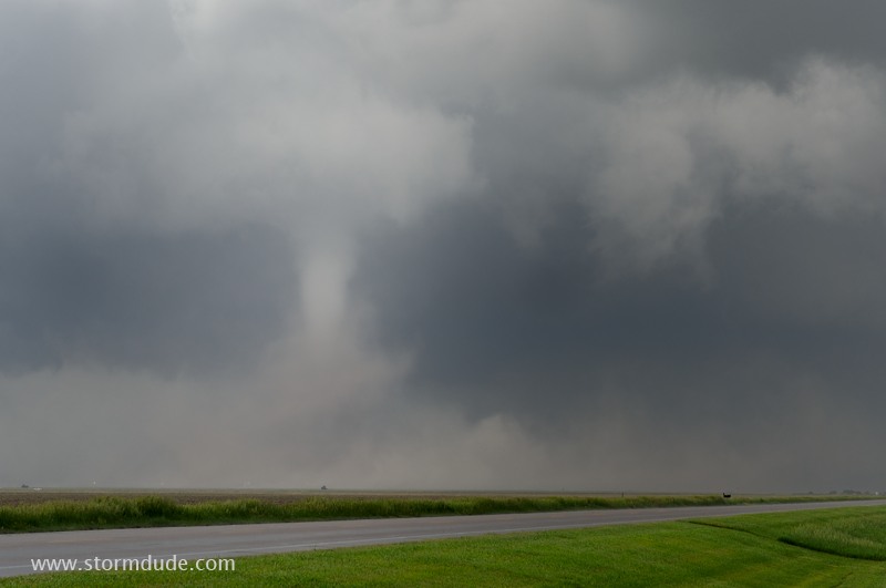
No other cars are near me, adding to the unique experience of seeing a Great Plains tornado up close.
Tornado-strength winds are much wider than the condensation funnel.
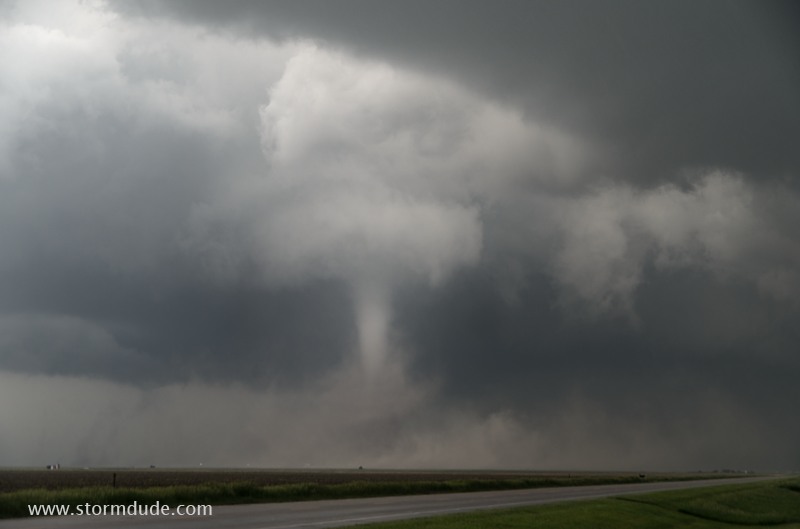
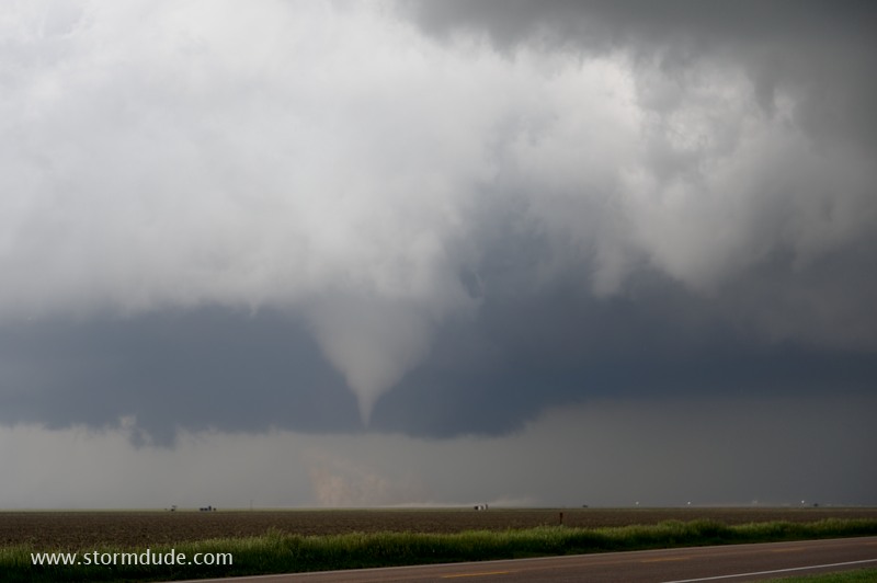
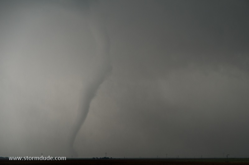
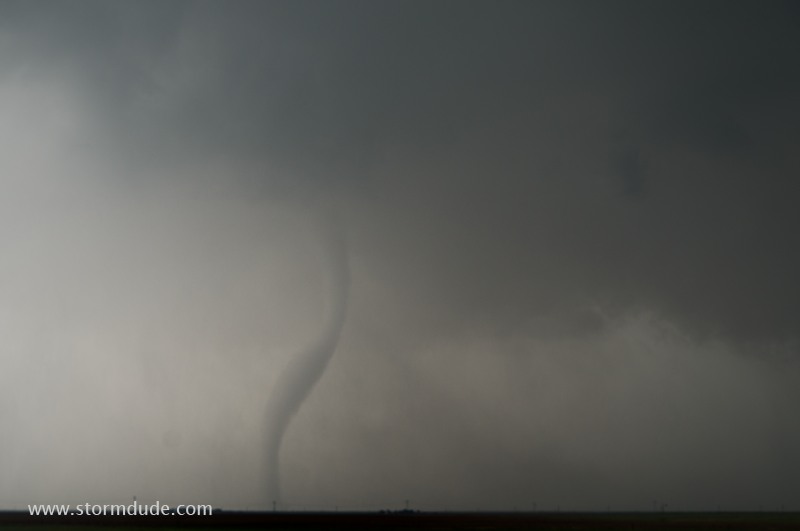
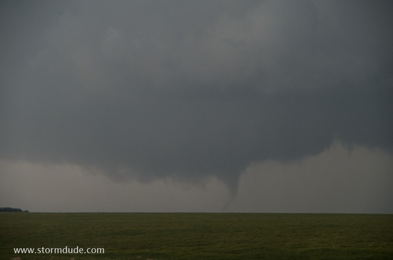
Drill-bit tornado provides a stunning sight.
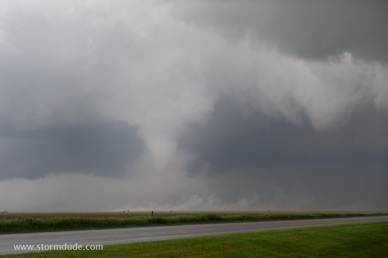
The tornado is beginning to weaken.
It lifts soon after this shot.
New tornado forms near the rear of the storm.
Not much of a tornado, but a sign that many thunderstorms today will feature strong rotation and occasional tornadoes
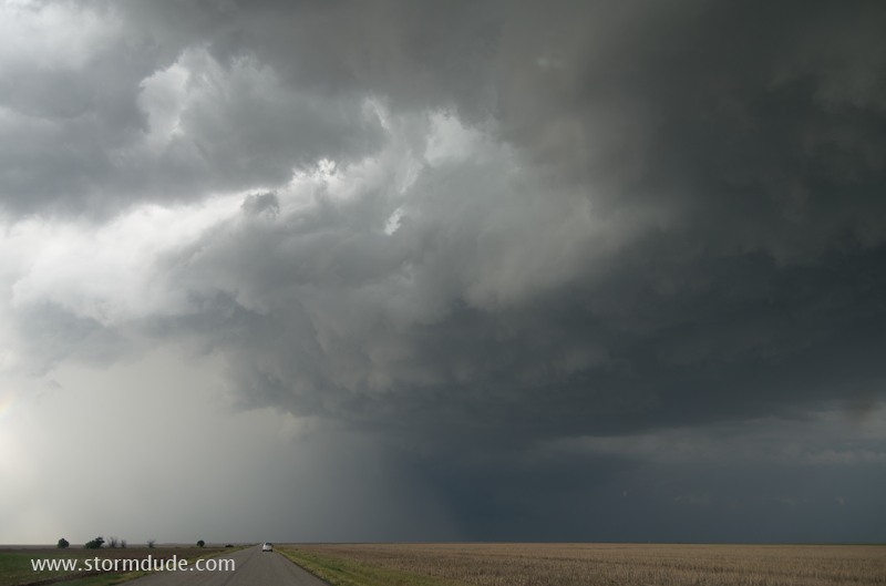
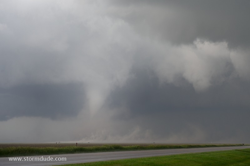
An hour later, I intercept a tornadic thunderstorm just northwest of Dodge City, Kansas. The tornadoes are moving away from me, so I'm in a safe position as I approach.
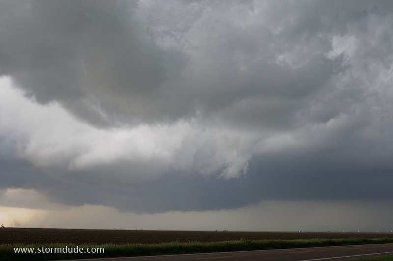
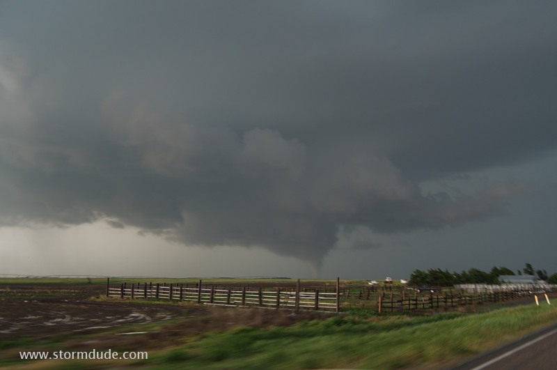
Turbulent updraft base is a sign of things to come. I am driving east towards the trailing flank of a northward moving storm.
My target is the ragged wall cloud ahead...
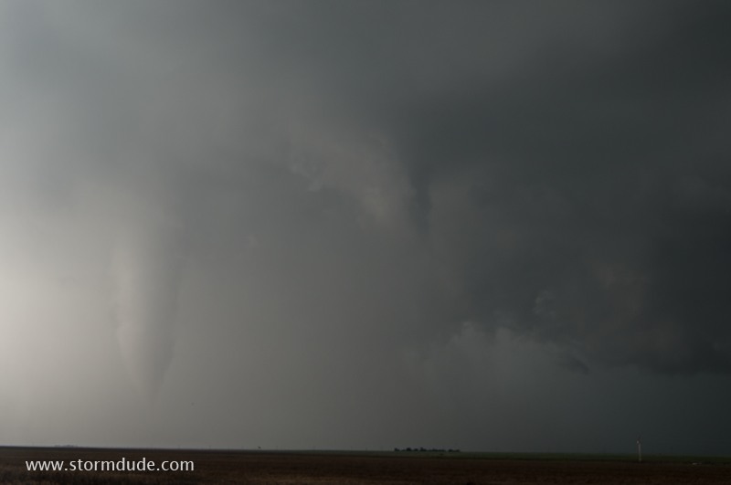
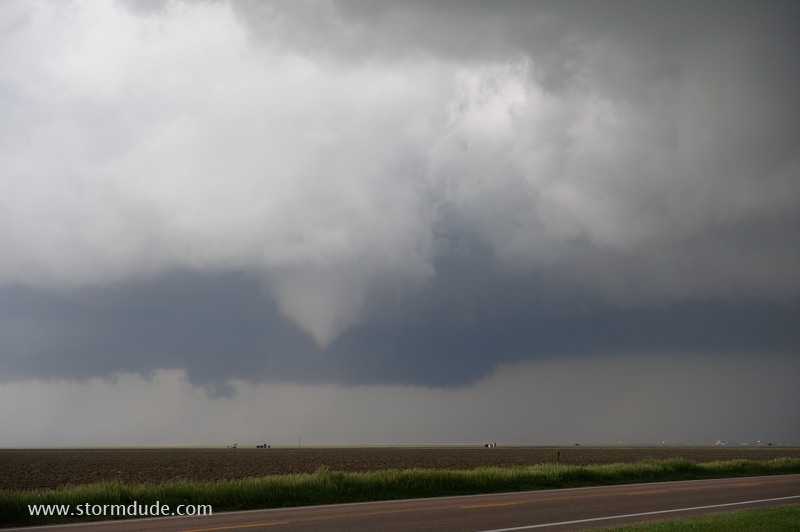
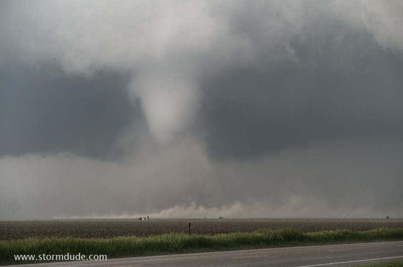
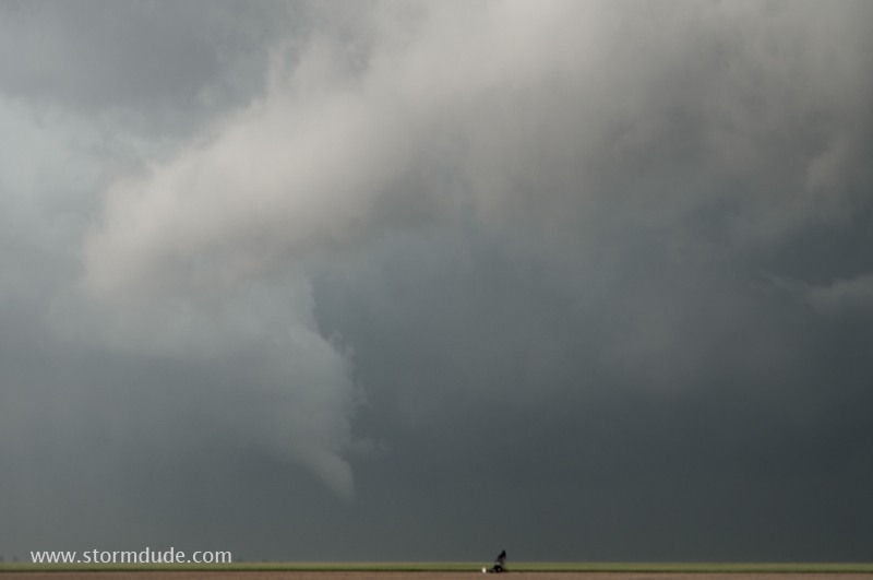
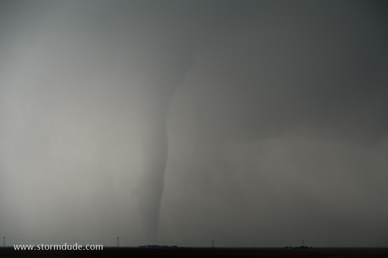
..but I'm distracted by a white cylinder tornado to my left.
A ghostly tornado underneath a Kansas thunderstorm.
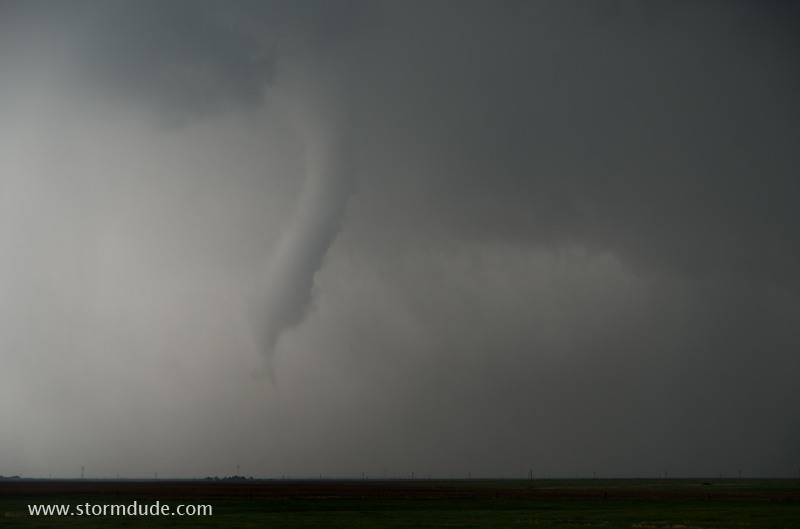
It holds my attention by becoming more visible and changing shape.
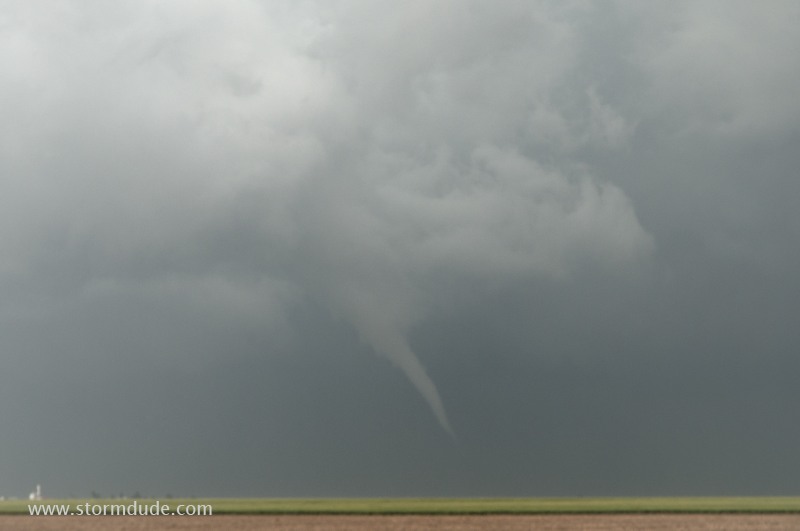
It begins the process of roping out.
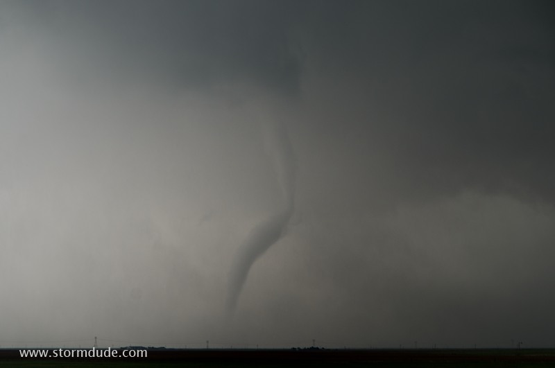
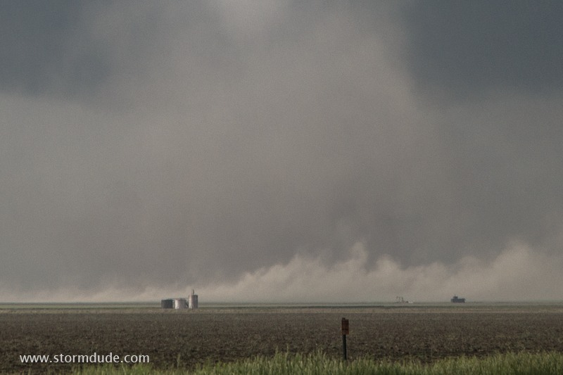
It looks like it's done.
But it continues to move across the farmland.
After three minutes of watching this tornado, I decide I better continue on to see the storm's main tornado.
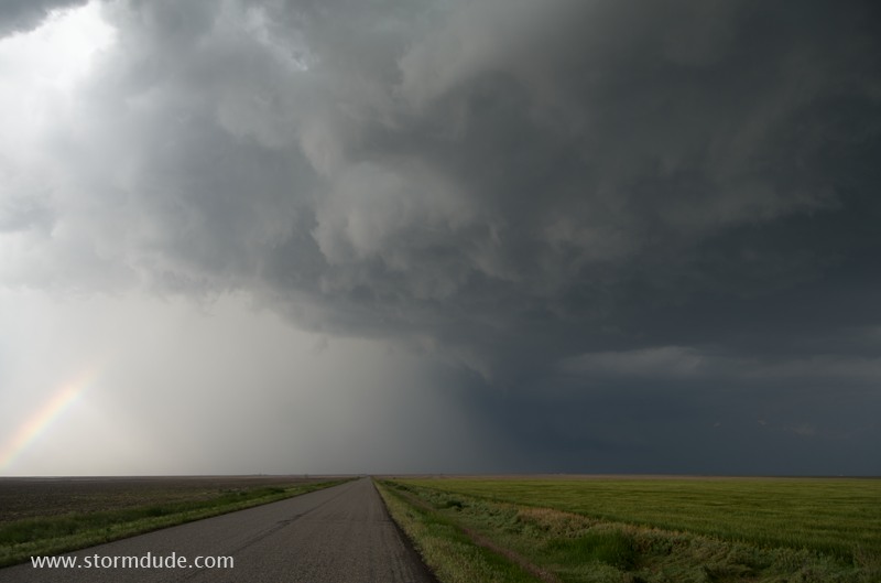
Driving east towards the main tornado, underneath the wall cloud, as it moves away from the road.
It's beginning to dissipate.
However the wall cloud is still slowly rotating.
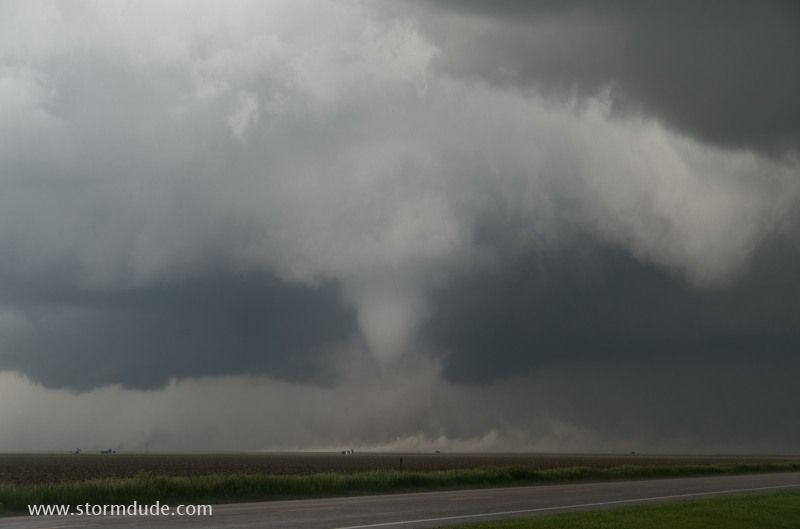
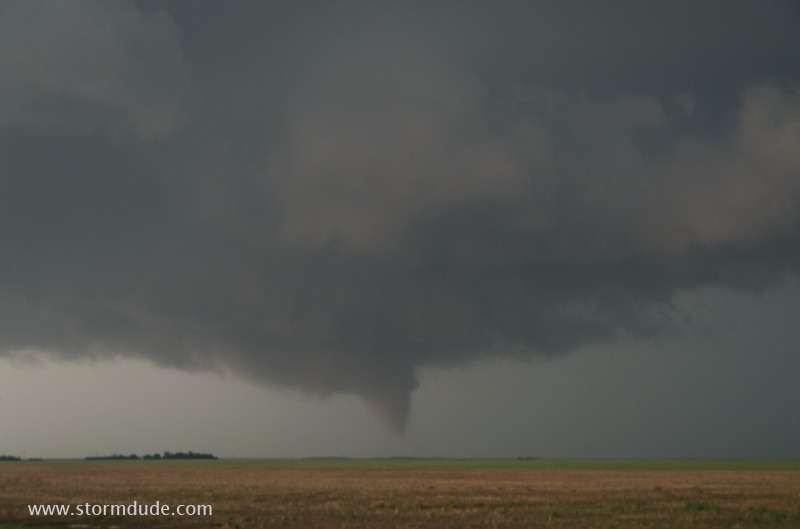
New tornado touches down.
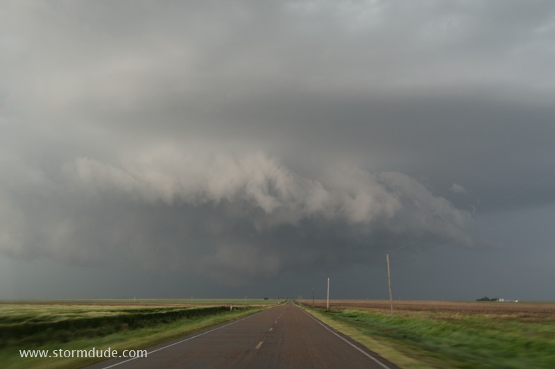
Wide-angle view of the wall cloud as it moves north.
Tornado is weakening.
Last view of wall cloud and tornado.
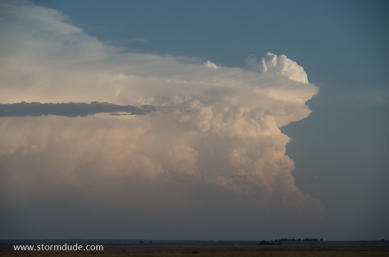
View of distant storm at sunset.
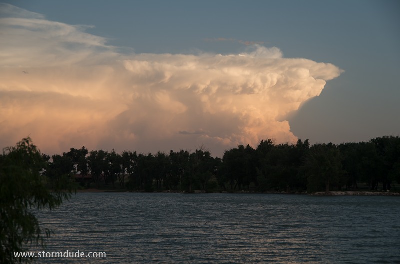
Two supercells and six tornadoes make this one of the more memorable days in my twenty-plus years of storm chasing.