May 25: Oklahoma Nighttime Supercell and Tornado
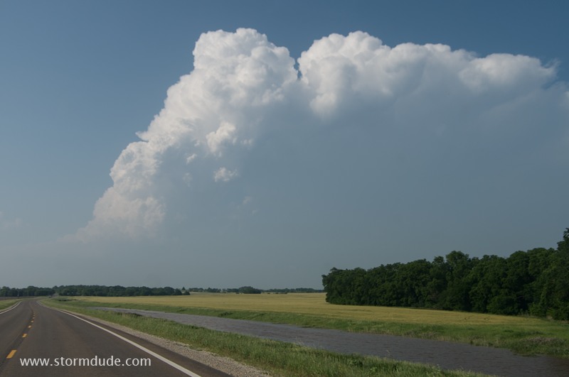
Later afternoon convection southwest of Wichita, Kansas.
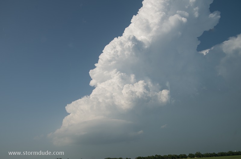
Despite high CAPE, low shear and lack of convergence makes this tower slow to develop.
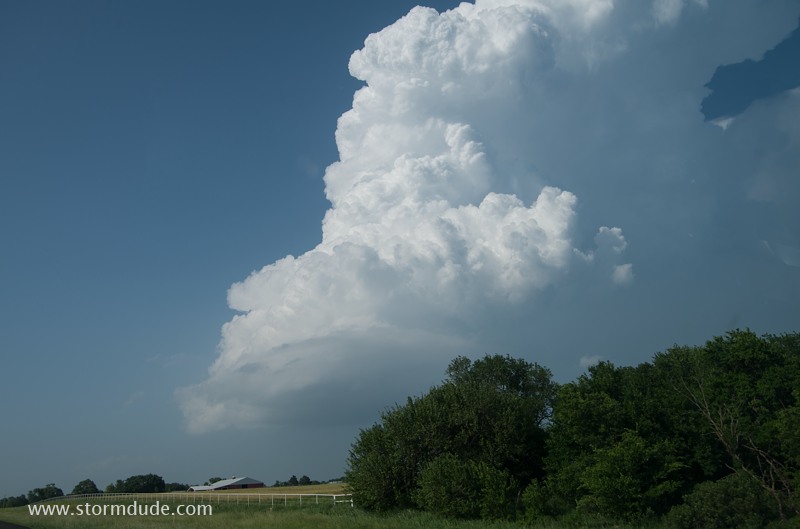
Looks like a storm worth intercepting.
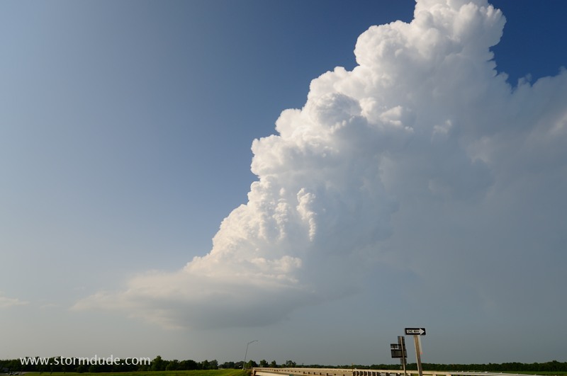
But a closer look reveals a narrow tower, a sign of very weak convergence and lift. Although I miss a long-lived tornadic supercell further north, today will still result in a remarkable storm chasing experience.
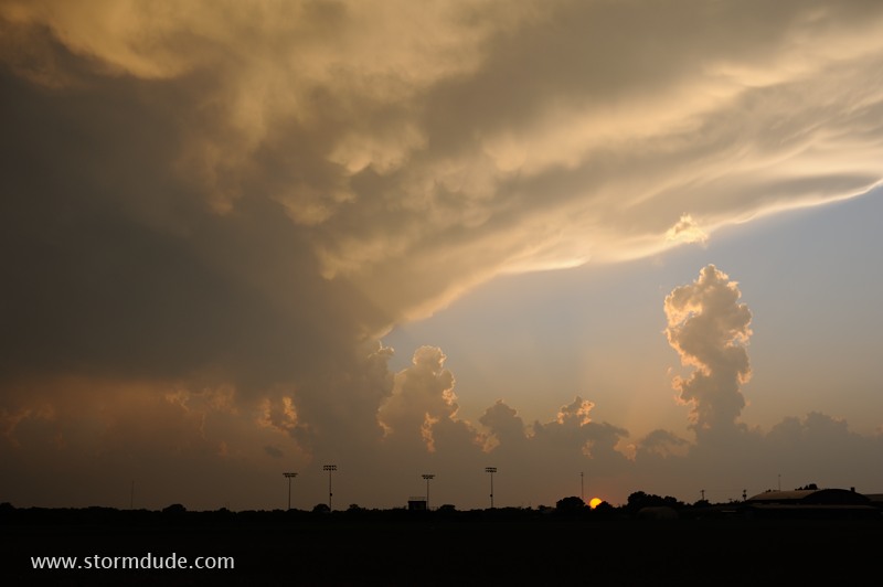
New storm becomes severe at sunset in northwest Oklahoma. Very high CAPE fuels intense development despite weak wind fields.
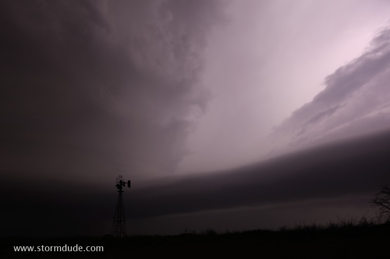
After dark, as I drive on the south edge of the storm, I see a silhouette of a tornado. Soon I'm set up in a pasture to take some long-exposure shots.
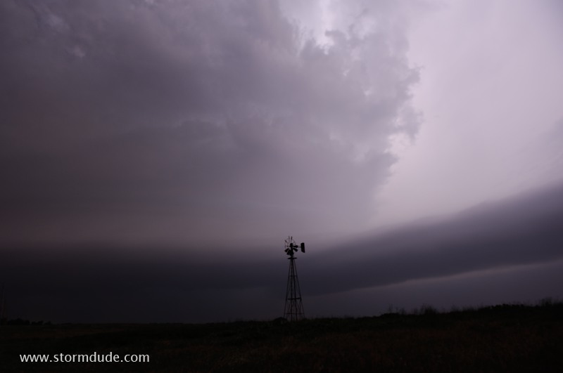
Frequent lightning reveals great supercell structure with a beaver tail on the eastern flank.
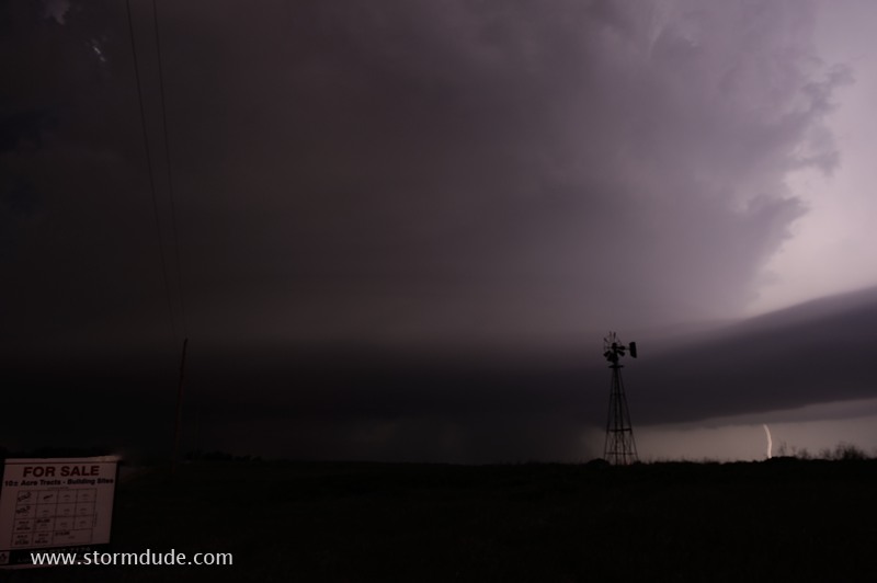
Cloud-to-ground lightning strikes help me understand the structure, movement and potential dangers from this storm (which I also match with the latest radar images on my laptop).
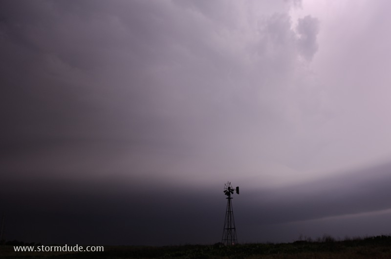
The storm is moving slowly east, making my position safe.
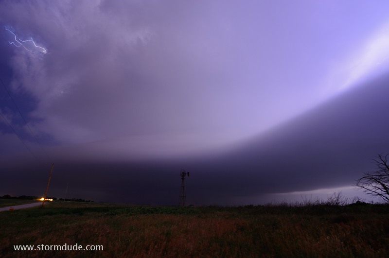
Wide-angle view of supercell as it moves towards Hillsdale, just northwest of Enid, Oklahoma.
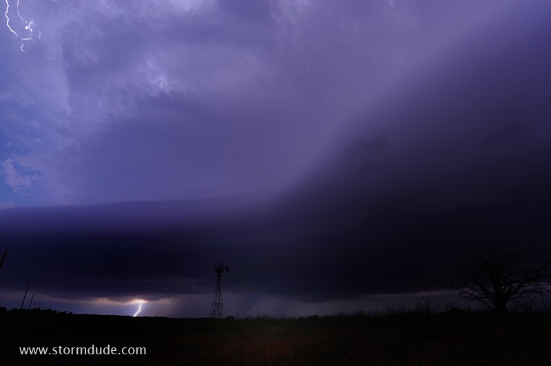
Lightning reveals a stout cone tornado. Without radar images and extensive severe storm knowledge, this could be a terrifying nighttime experience for local residents.
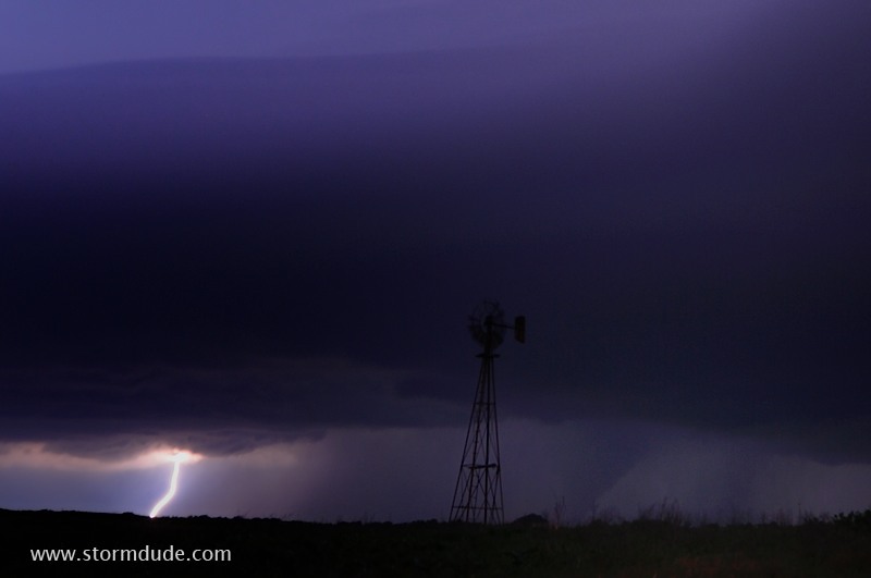
Zoomed-in view.
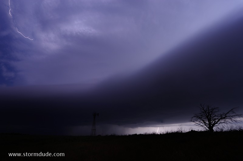
As the tornado moves near Hillsdale, a tornado warning is issued based on a report from a storm chaser. I maintain a large buffer by driving east then south, well clear of the storm.
May 26: Southwest Kansas Supercell
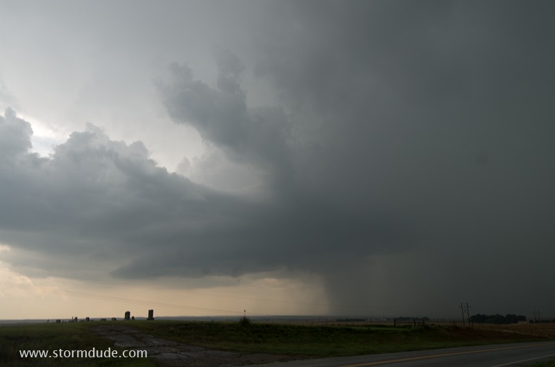
Early afternoon storm develops in northwest Oklahoma. But it soon weakens and I head west to the dryline.
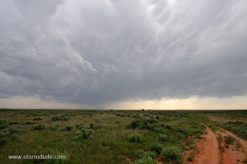
Late afternoon storm is moving north out of Texas.
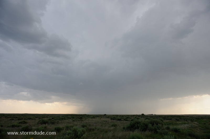
Weak, high-based storm as it moves east of Beaver, Oklahoma.
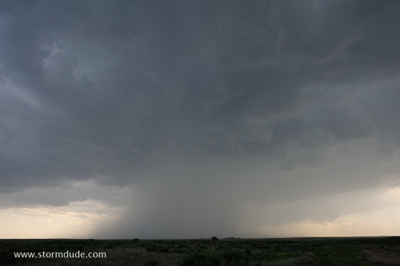
Temperature in the low 90s with dewpoints under 60 degrees result in high storm bases more typical of the desert southwest.
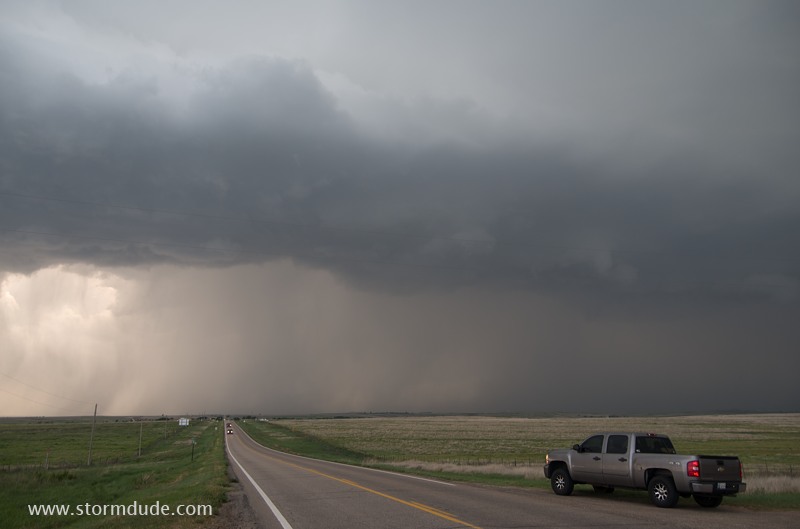
North of Ashland, Kansas, the storm begins to intensify as it turns more northeasterly and begins to encounter higher-dewpoint surface inflow
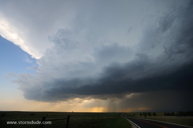
Southern flank of the storm.
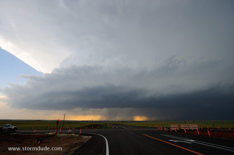
The storm begins to intensify.
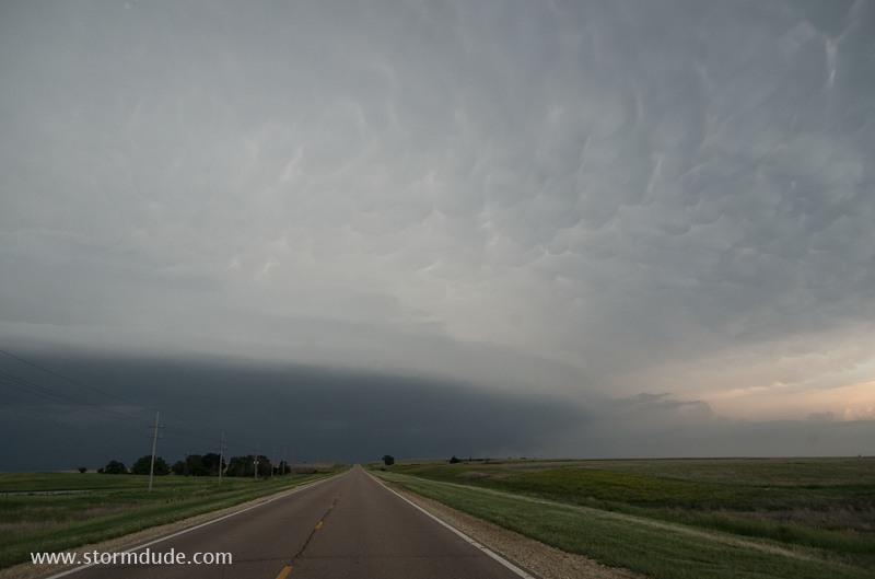
Looking north at the leading edge of the storm.
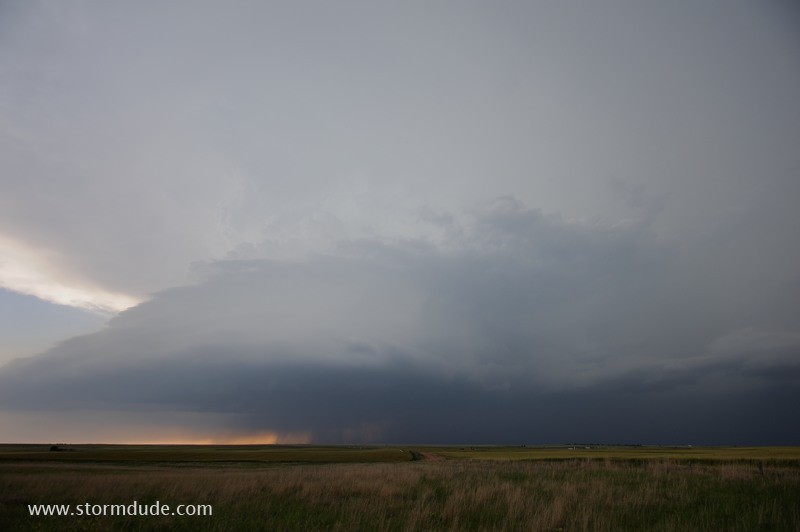
Looking west from Highway 183 about ten miles south of Greensburg.
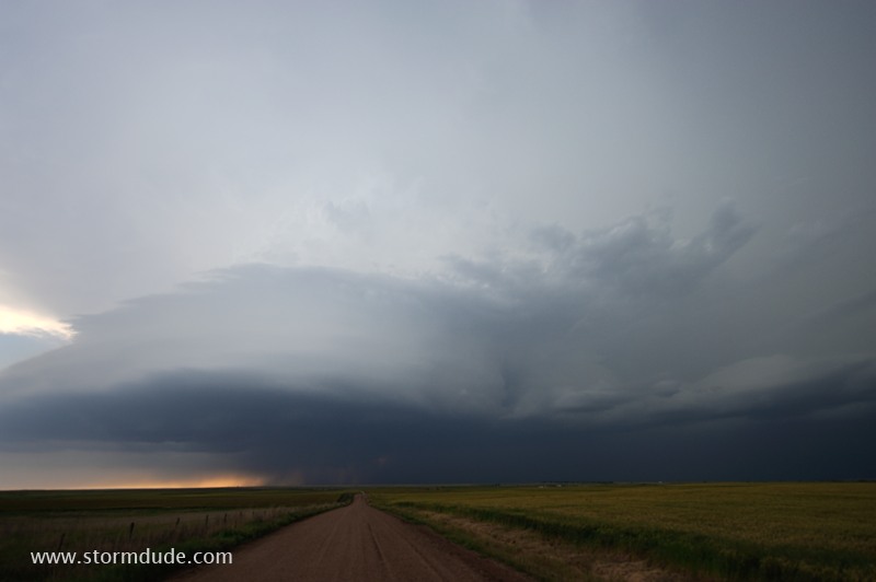
Wide-angle lens shows supercell structure.
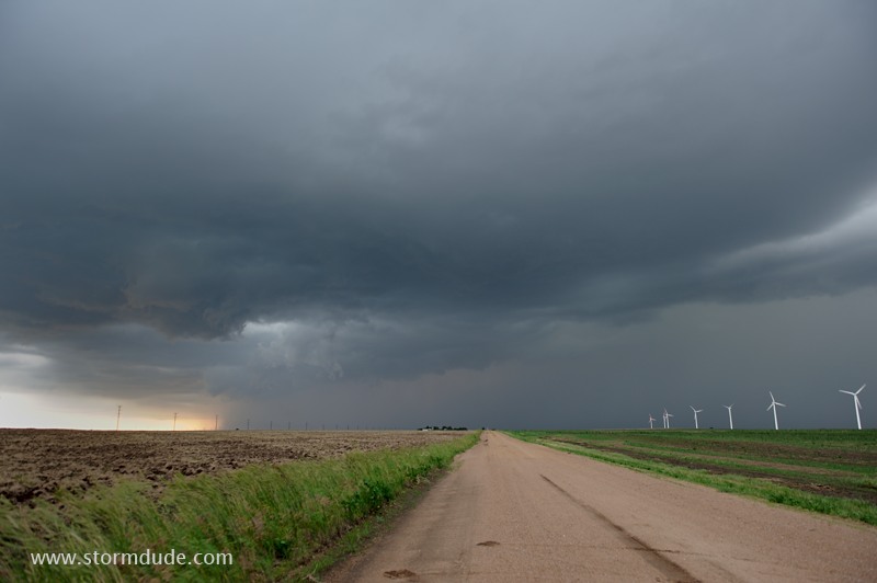
Wall cloud begins to form under main updraft near forward flank downdraft (rainy area on the right).
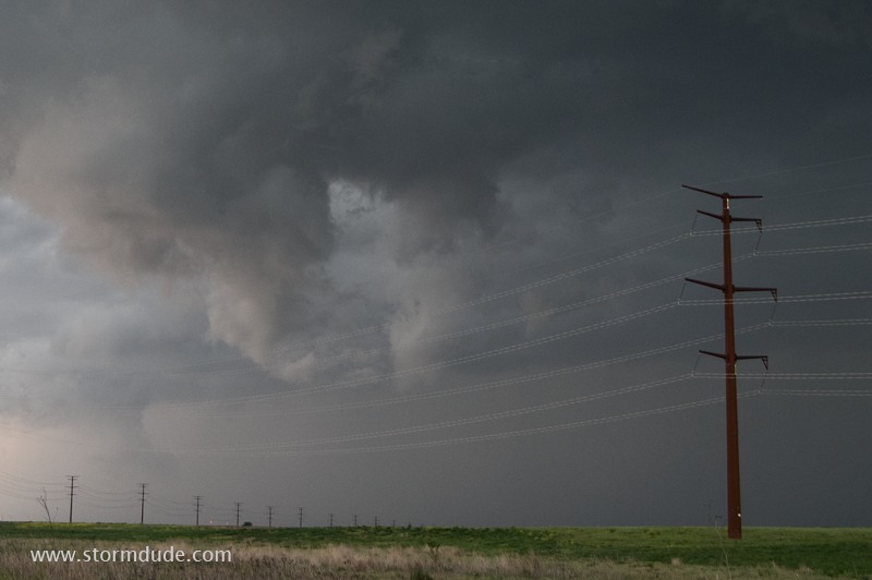
Wall cloud still trying to form a few miles south-southeast of Greensburg.
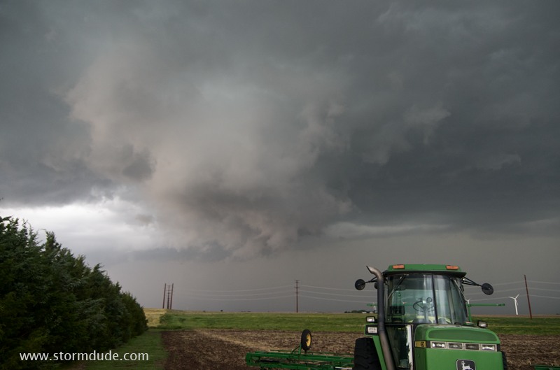
Dramatic but not rotating so no immediate tornado threat.
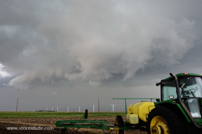
Ragged wall cloud passes a mile to my north.
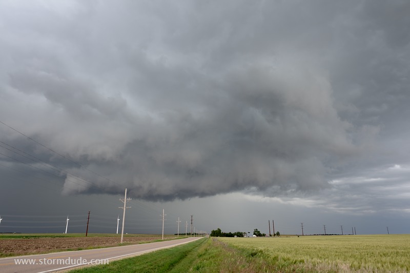
The lowering crosses Highway 183 just southwest of Greensburg.
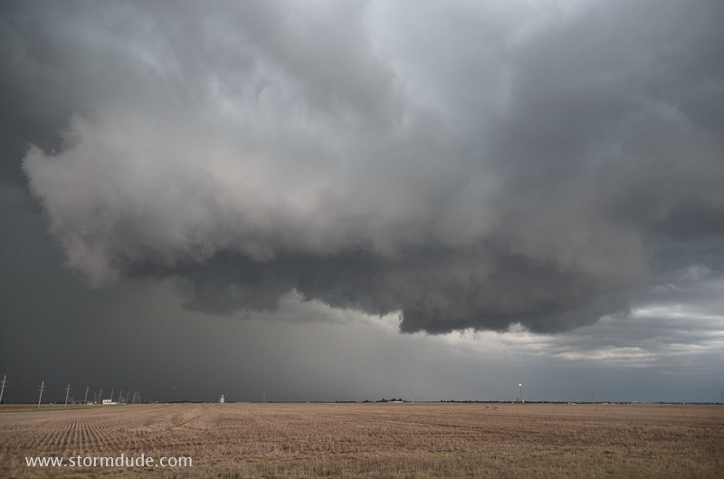
One of the many spectacular aspects of a supercell thunderstorm in the Plains.
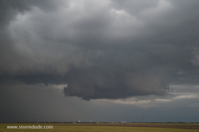
Fortunately the storm won't produce a tornado as it passes over Greensburg, site of a devastating EF-5 tornado on May 4, 2007.
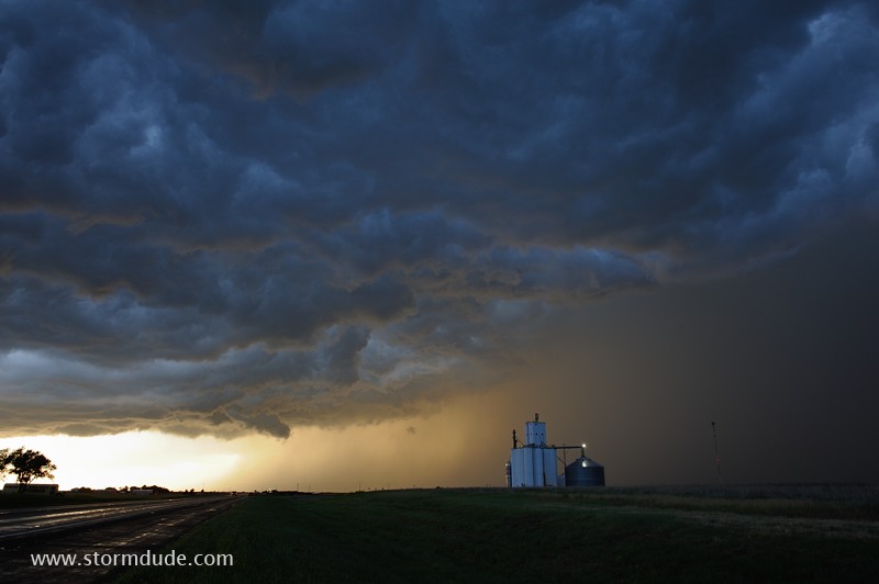
Back side of supercell.
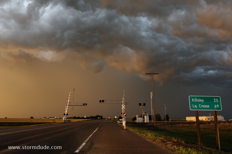
Another amazing scene at the rear of a severe thunderstorm on the Great Plains.
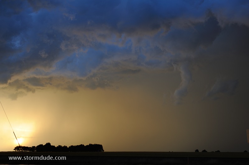
Funnel cloud look-alike. Storm spotters learn to distinguish harmless scud from actual funnel clouds (e.g. watch for smooth sides and rotation underneath an updraft).
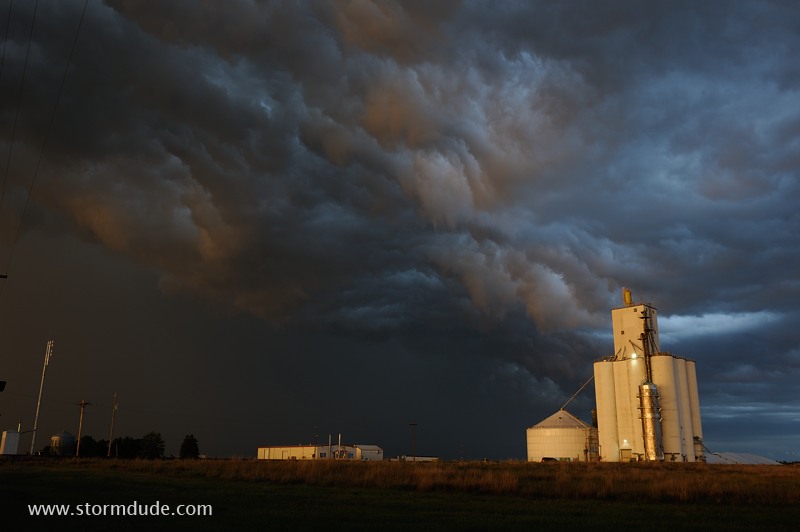
Another surreal thunderstorm scene.
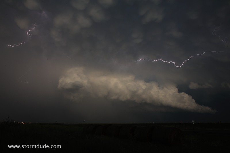
After dark, a severe storm moves up from the south.
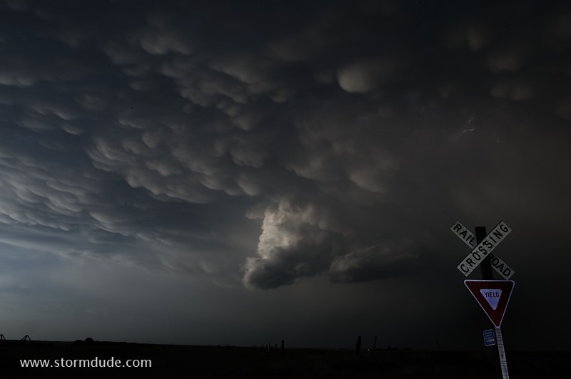
Mammatus after sunset.
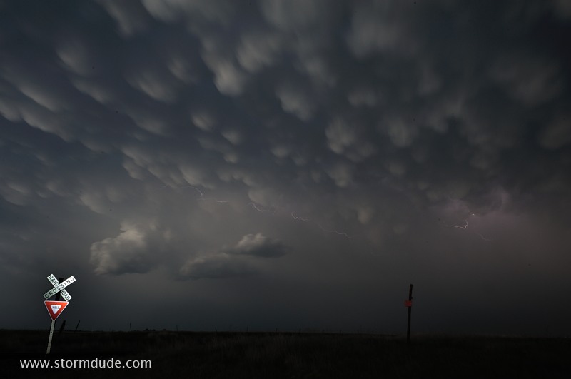
End of a long day of highly rewarding storm photography.
May 29: Southwest Texas Storm
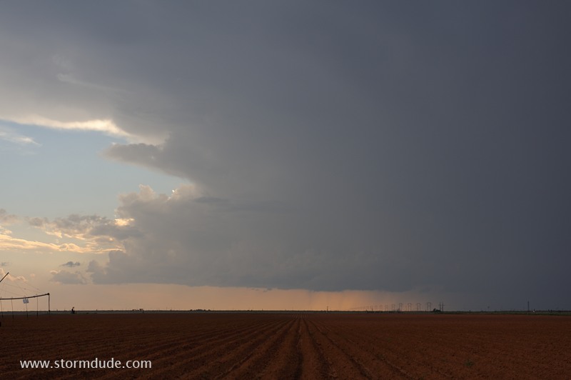
Weak thundershower along the Texas-New Mexico state line east of Lubbock. Light mid-level winds prevent better storms today.