May 23: Texas Panhandle Storms
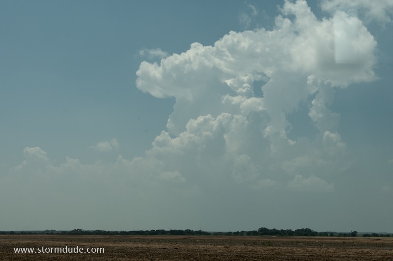
Mid-afternoon convection along an outflow boundary in the southeastern Texas Panhandle.
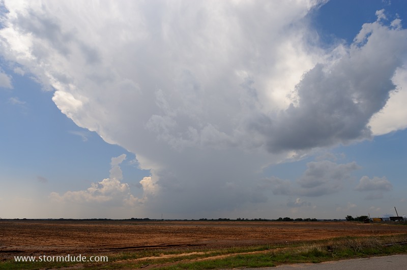
It soon grows into a beautiful cumulus tower.
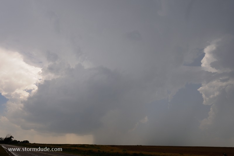
The storm splits and the southern storm is the most vigorous.
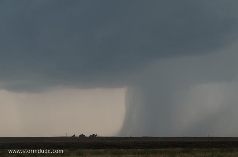
Cloudburst from a high-based Texas thunderstorm, just east of Hedley, Texas.
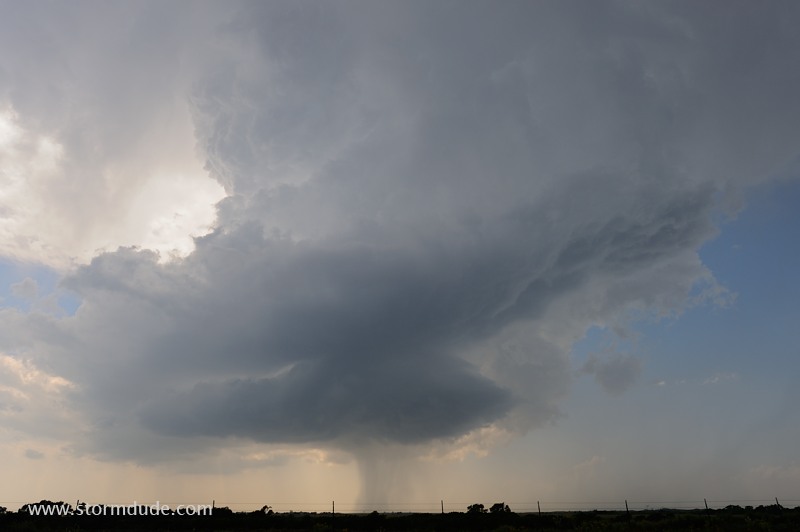
Despite good CAPE, weak wind fields at all levels of the atmosphere are causing the storm to weaken before it really gets going.
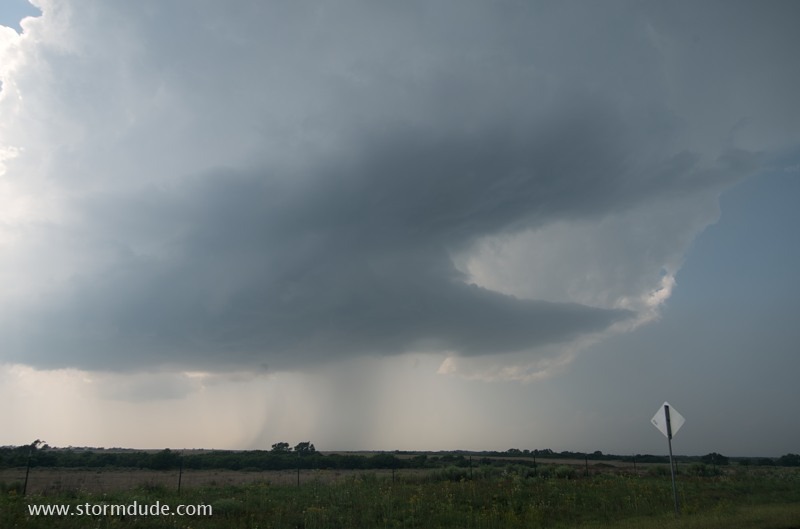
The storm makes one last effort to look like a supercell. But it soon weakens permanently.
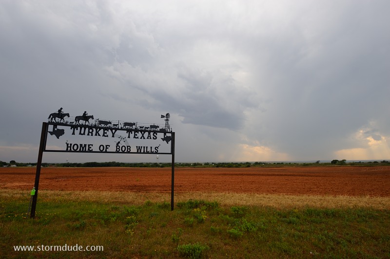
Later that afternoon, I'm just north of Turkey, Texas, watching dryline storms.
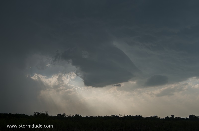
Unusual lowering at the leading edge of a marginally severe storm.
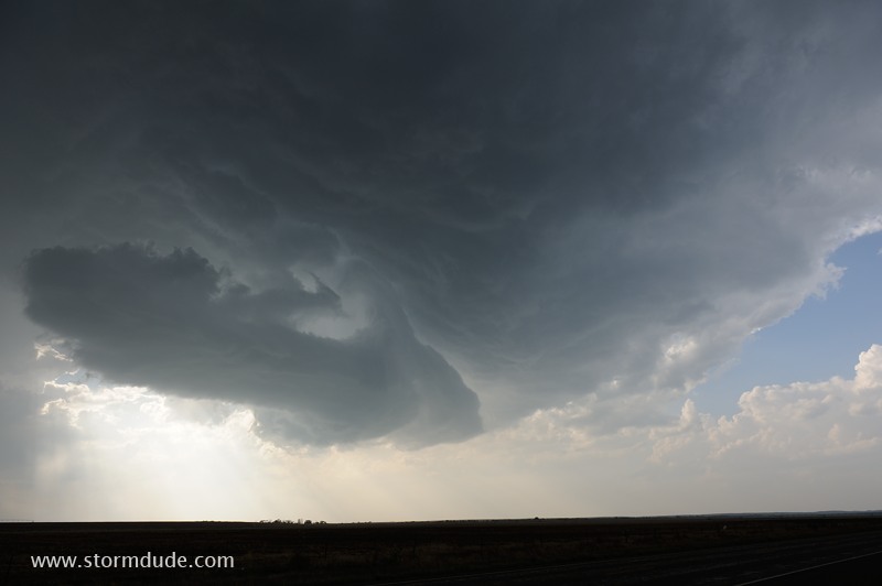
One last look before I continue north on Highway 70 to catch up to a stronger thunderstorm near Clarendon.
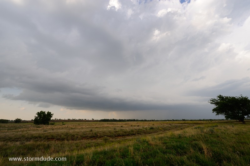
The new storm is slowly gaining strength as it moves north towards I-40.
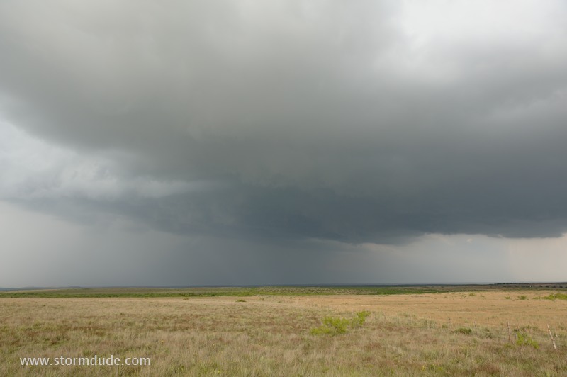
The arrival of a shortwave trough causes the storm to rapidly strengthen.
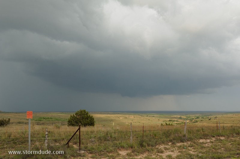
Small lowering under rain-free base as the storm begins to show signs of rotation.
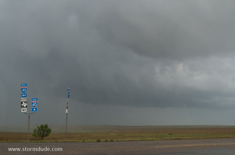
At the Lake McClellan exit on I-40, I watch the storm pass just to my east.
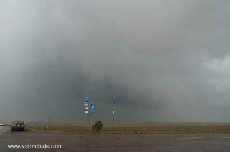
After quarter-size hail falls around me, an intense circulation forms out the back of the storm and blows over an 18-wheeler.
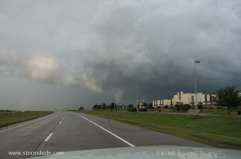
White cone funnel near the Alanreed Rest Area.
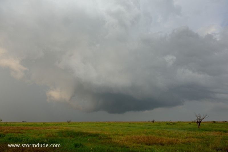
Wall cloud is weakening.
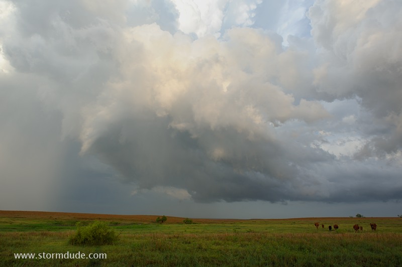
Another unique rural scene at the rear of a supercell.
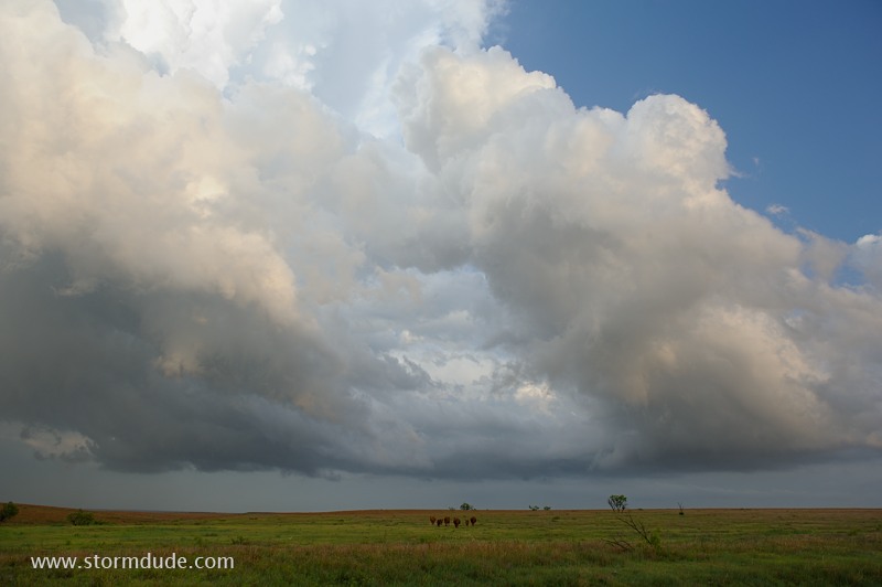
Evening light at the rear of the storm.
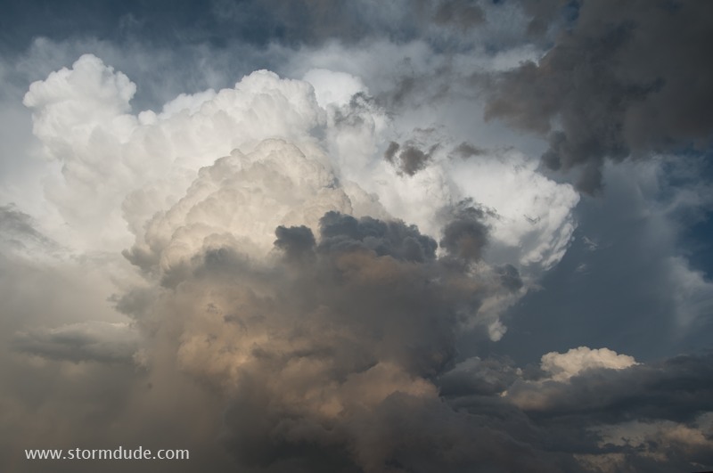
View towards the east at sunset.
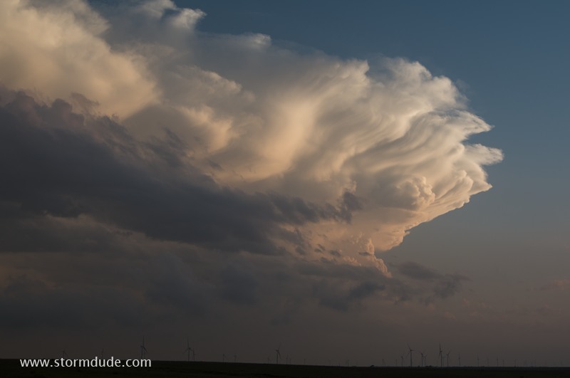
Severe storm to the south. Another good day for storm photography.