May 21: Western Kansas Supercell and Tornadoes
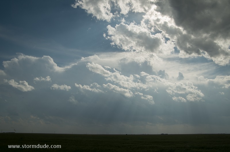
Dryline becomes active in far western Kansas.
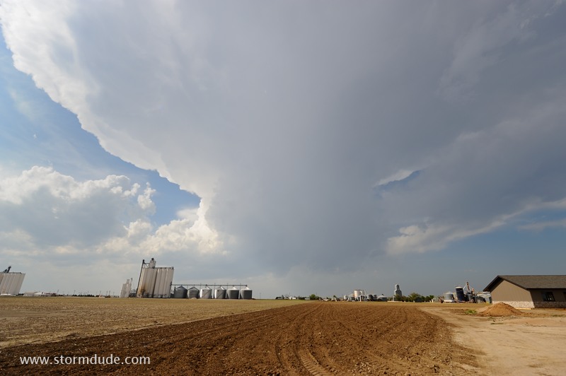
Small cumulus cell heads northeast and weakens.
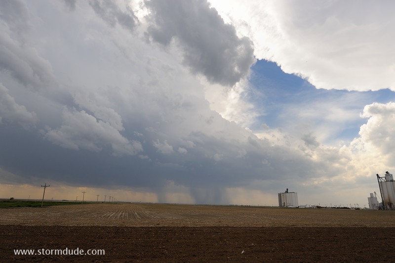
Bigger storm heads north from Leoti, Kansas.
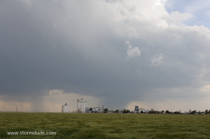
Storm is moving slowly north-northeast.
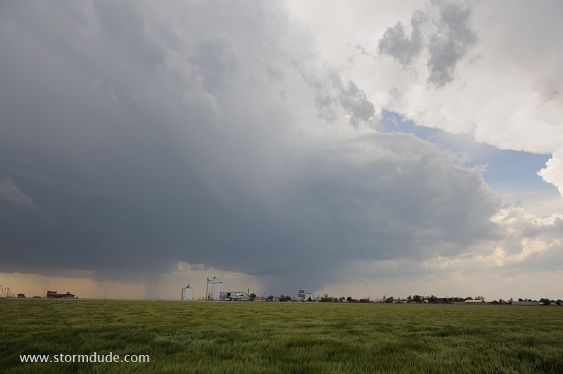
High Plains thunderstorm on a day when low-end severe weather is possible.
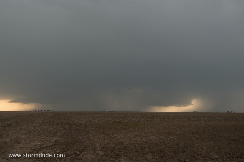
I get ahead of the storm to give it a chance to organize.
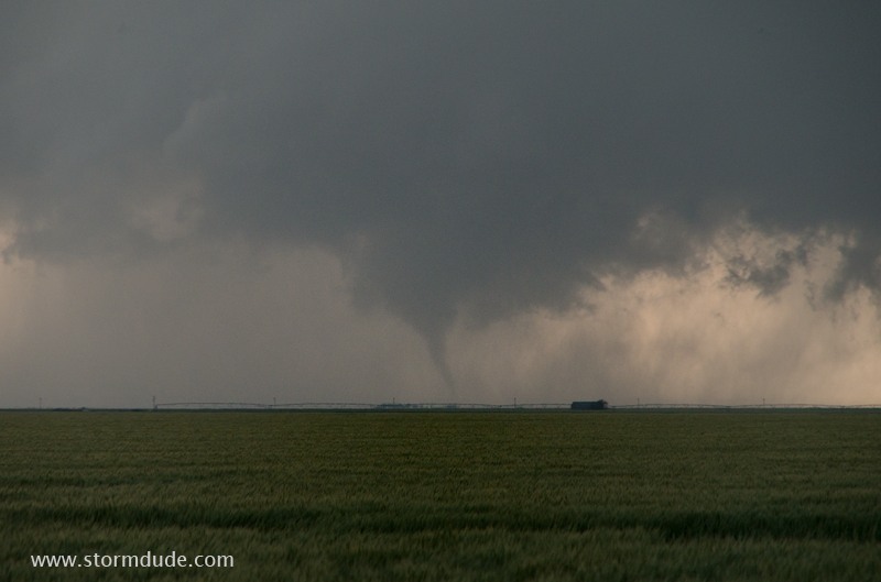
A small tornado touches down.
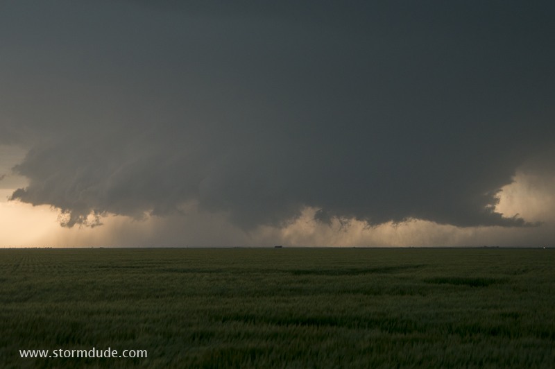
Wide-angle view of the updraft portion of the thunderstorm. The tornado is barely visible in the center.
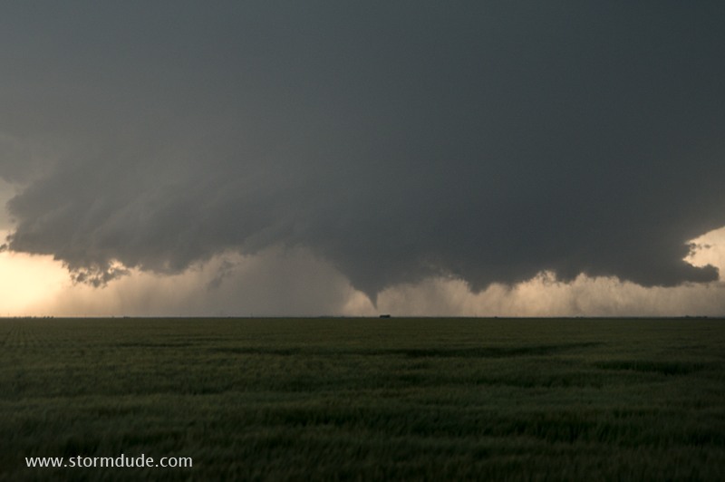
Thirty seconds later, another funnel descends.
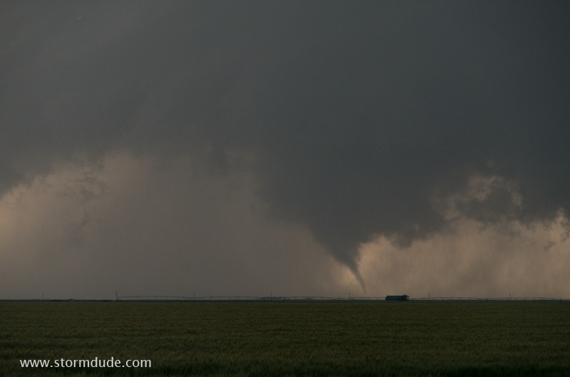
Zoomed-in view.
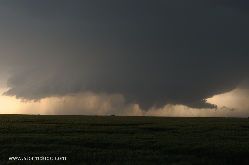
Two minutes later, a third tornado touches down underneath a broad funnel.
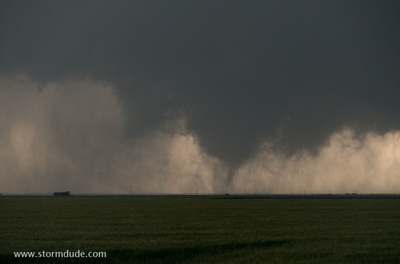
Zoomed-in view.
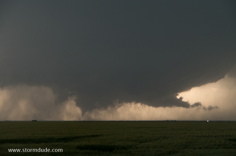
Silhouette of updraft and tornado.
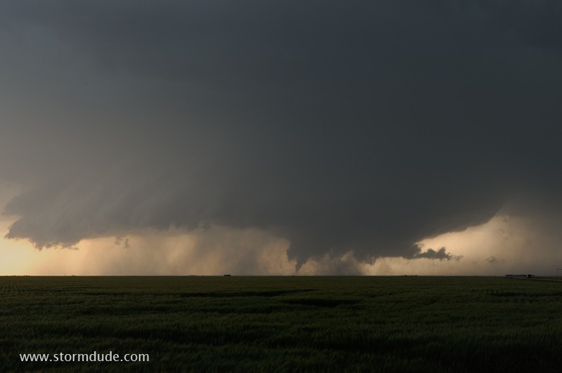
Wider view of updraft.
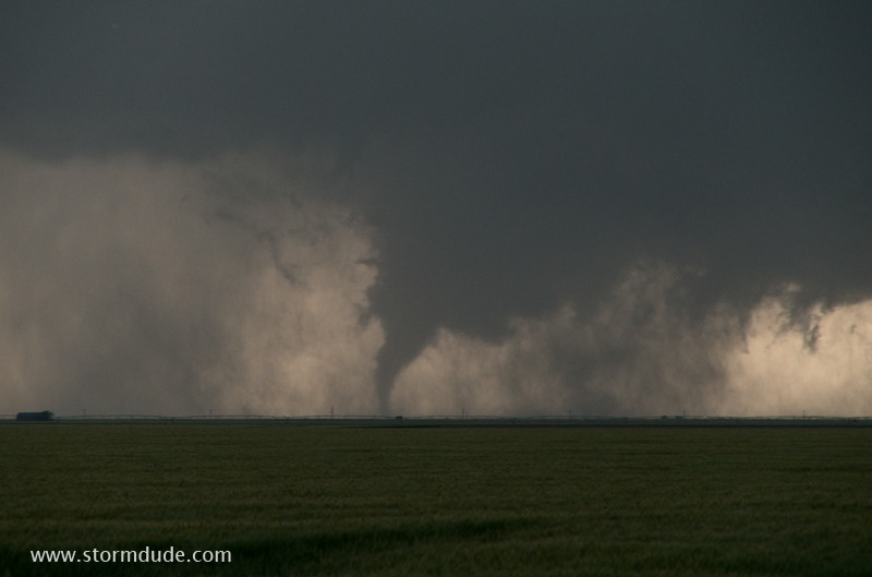
Tornado moves across a Kansas wheat field.
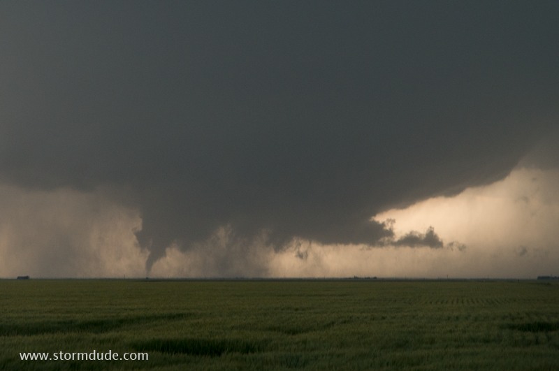
Today's tornadoes developed in an environment of weak mid-level winds and modest CAPE, but with strong surface inflow to create low-level shear.
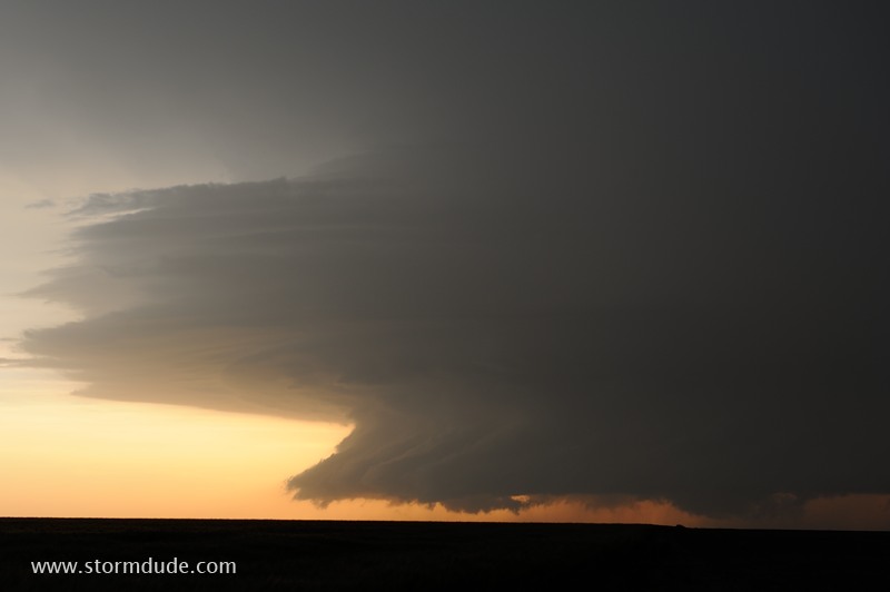
At dusk, the storm takes on a stack-of-plates appearance.
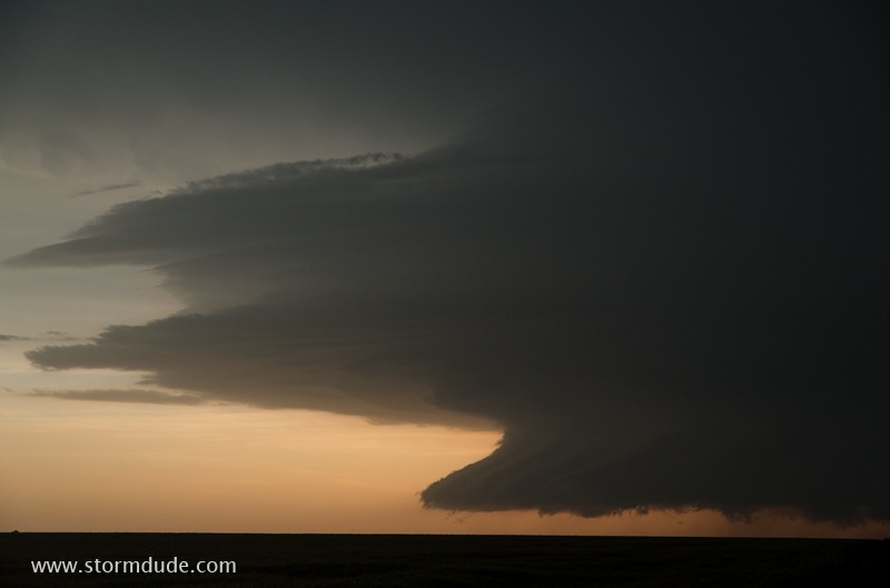
After sunset, more great views of the supercell. This has turned out to be an exceptional day for storm chasing.
May 22: Texas Panhandle Supercell and Tornado
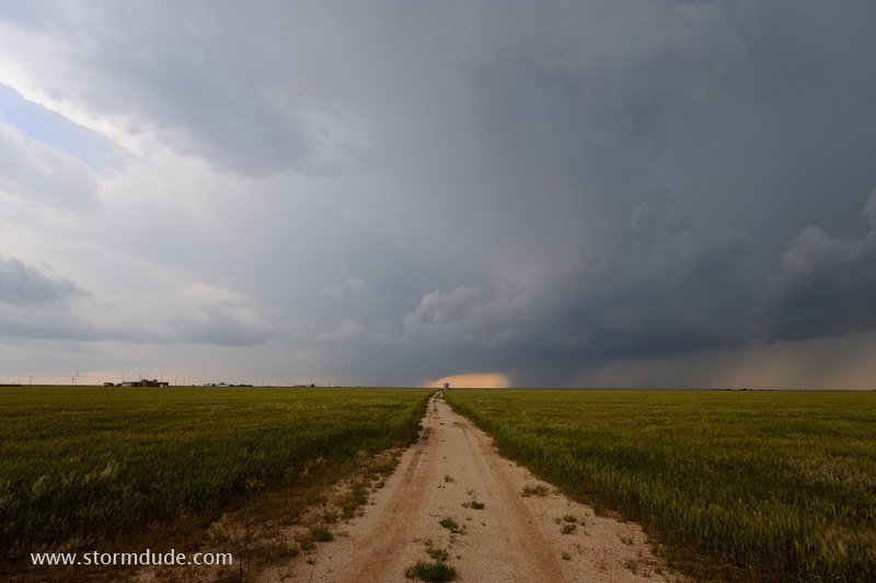
Very unstable air and weak mid-level winds suggest that storms today will be large and messy.
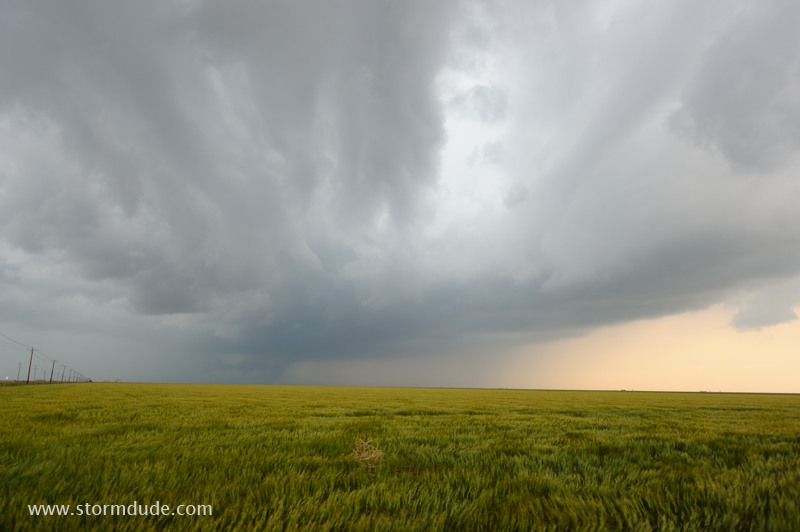
I intercept a thunderstorm south of Perryton in the Texas Panhandle.
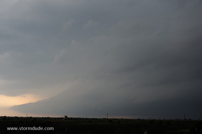
Updraft area of storm.
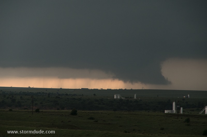
Wall cloud forms in southern Ochiltree County.
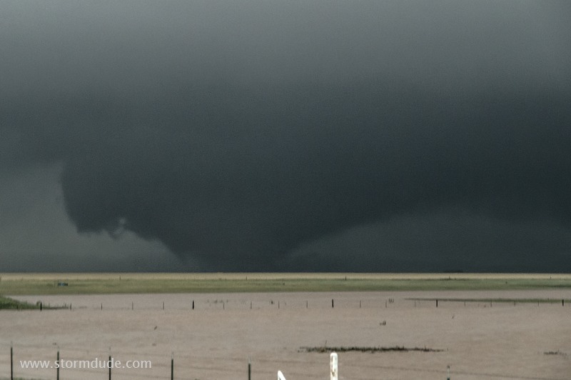
Tornado forms over Texas ranchland.
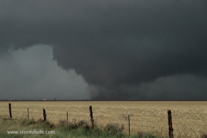
It is moving due east over rain-soaked fields.
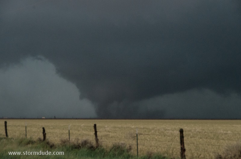
Wet dirt is being sucked into the tornado.
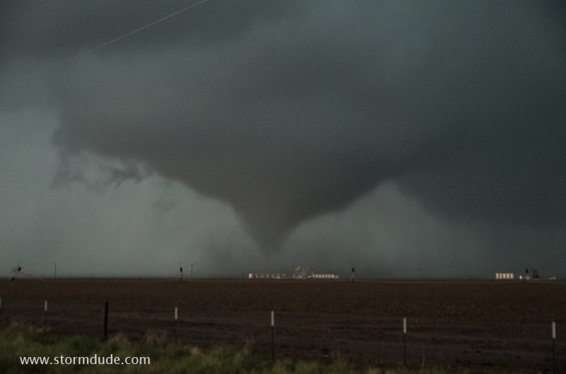
Cone-shaped funnel. Several inches of rain fell earlier today, turning highway shoulders into deep mud.
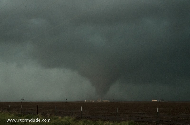
No place to set up a tripod, so I settle for a dark, high-ISO shot.
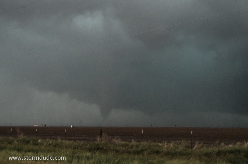
A very dark storm, and ISO of 1600 isn't enough.
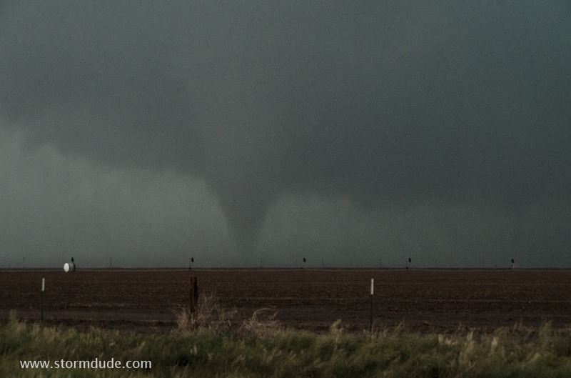
Not very good photos, but close views of a rural tornado are reward enough.
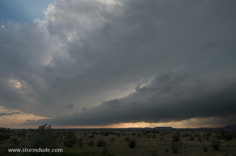
South end of storm. Today was a good example of how messy HP storms can produce isolated tornadoes during a short-lived period of storm rotation.