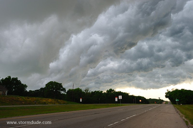
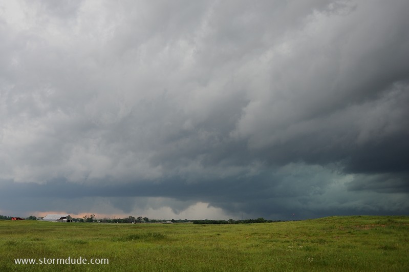
April 29: Southern Oklahoma Squall Line
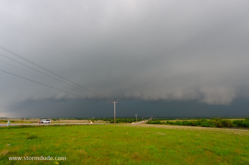
Today's supercells will be limited to very poor chase areas in east Texas. Instead, I target a squall line in central Oklahoma. This is just north of Lawton.
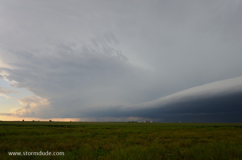
Very slow roads and the linear structure of the storm make it tough to get more than a glimpse of deep blue-green storm clouds.
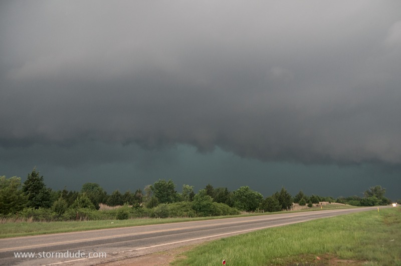
But a reward awaits as an elevated outflow cloud moves overhead (west of Davis, Oklahoma, near the I-35).
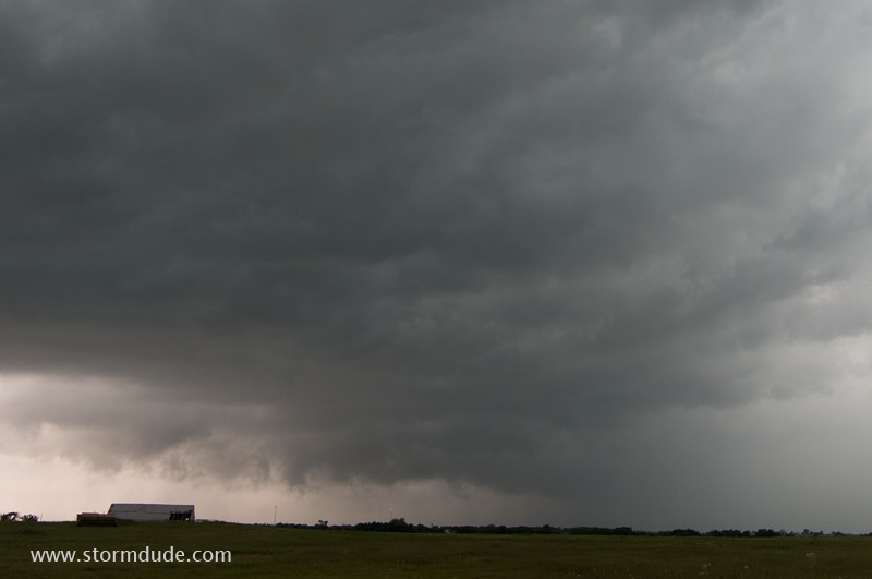
Boiling underside of a shelf cloud (a.k.a. Whale's Mouth).
Unlike the typical storm pictures popular in both social and traditional media, my photos are NOT enhanced or otherwise manipulated. These scenes actually have an other-world surrealistic appearance.
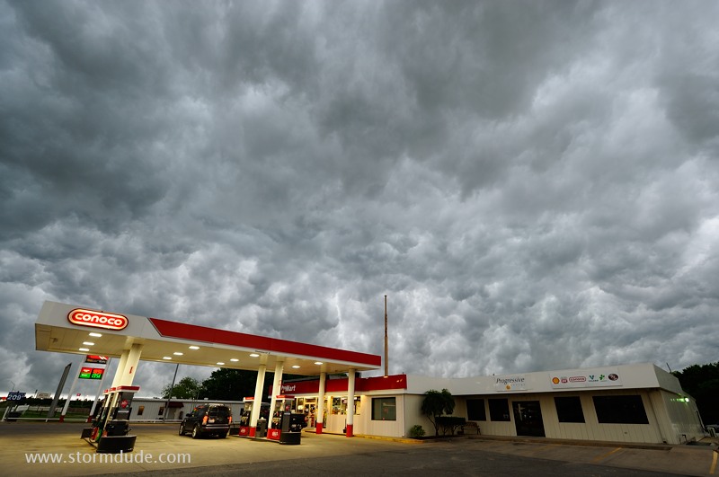
Other than a bit of wide-angle lens distortion, this is exactly how the scene appeared in Ardmore, Oklahoma. Truly breathtaking to see in person.
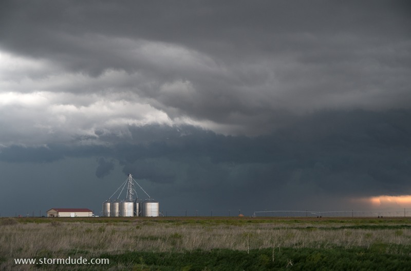
May 7: Northern Texas Panhandle Thundershower
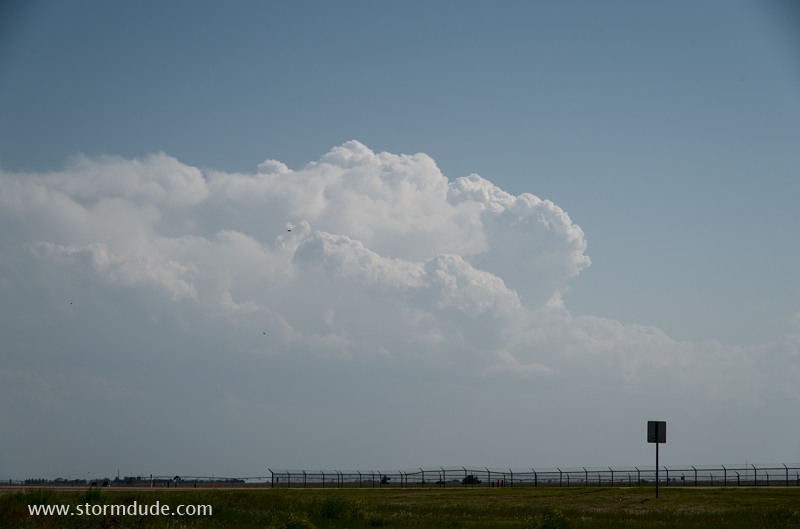
Weak high-based thunderstorm develops in the far northern Texas Panhandle.

Harmless Great Plains Rat Snake, not to be confused with a rattlesnake (notice the lack of a triangular head or tail rattles). I see several of these each spring, but rarely see a rattlesnake.
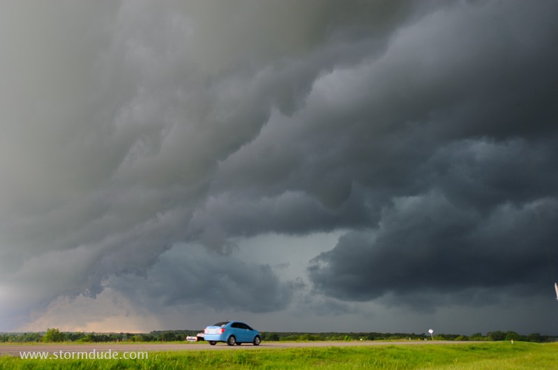
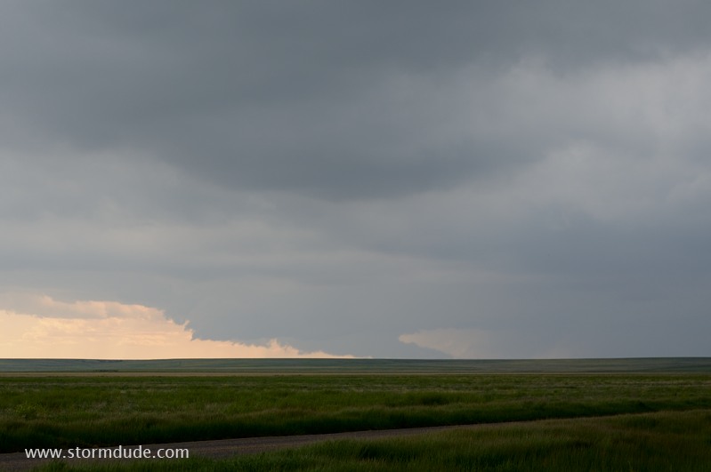
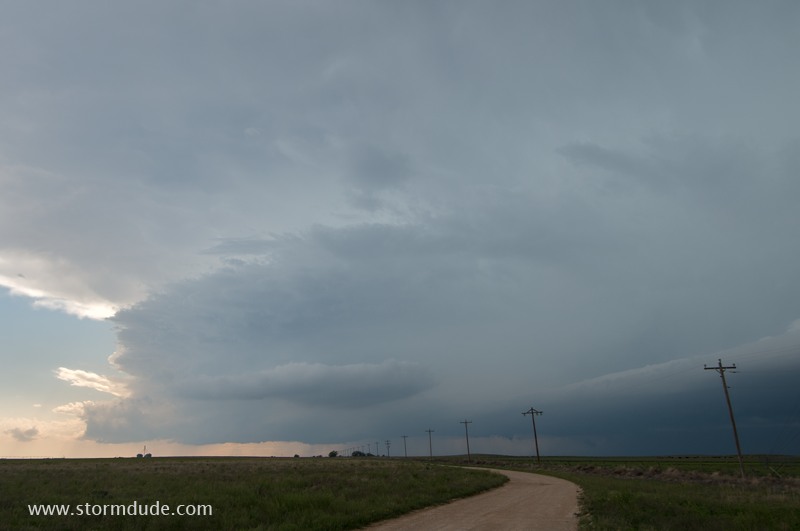
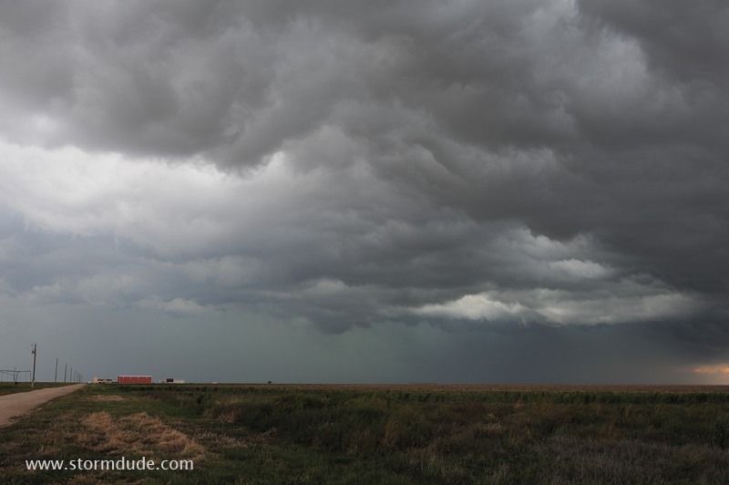
May 8: Southern Oklahoma Storm
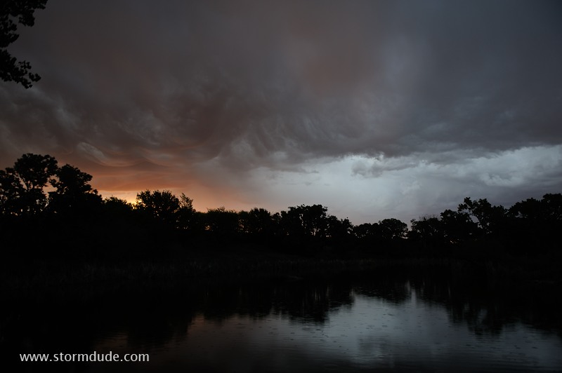
Dawn thundershower over a pond in the Oklahoma Panhandle.
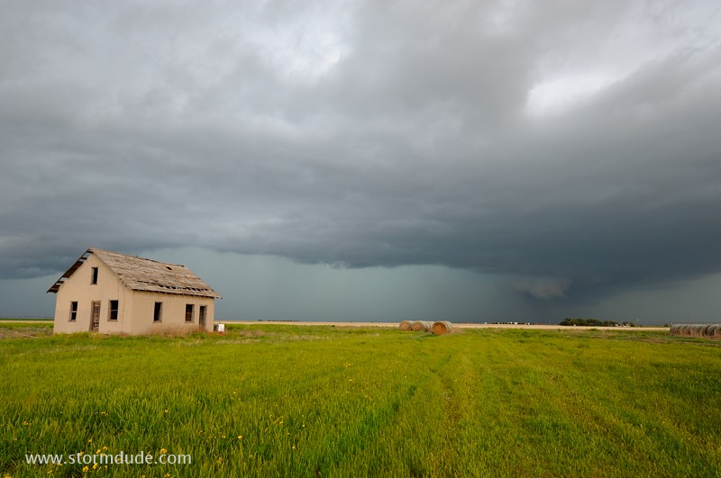
Storm in southern Oklahoma, near the town of Marlow.
After producing a brief tornado, the storm begins to weaken.
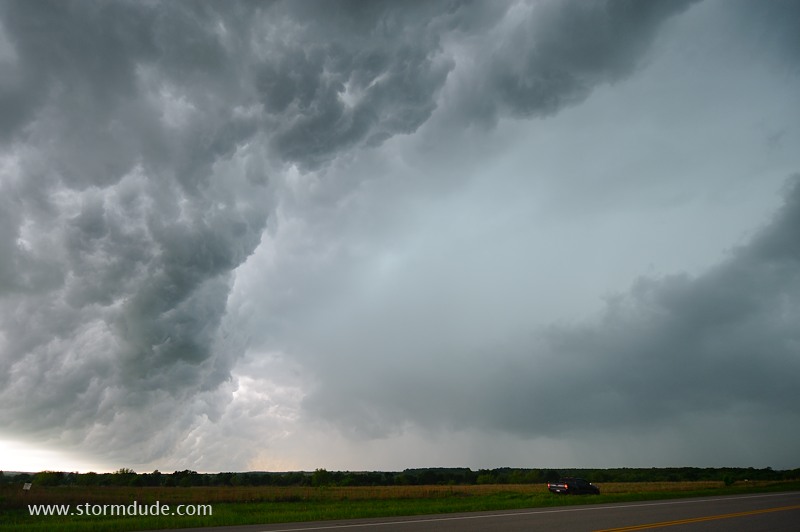
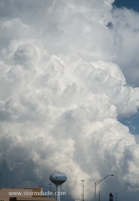
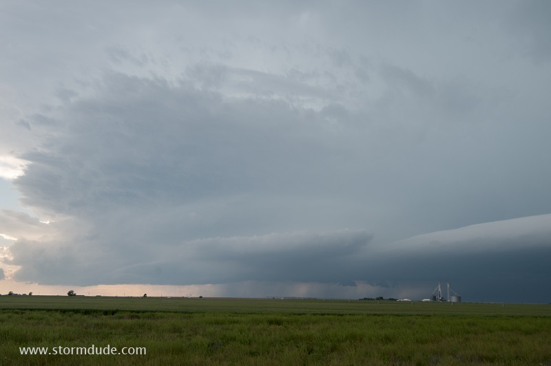
May 9: Central Oklahoma Storm
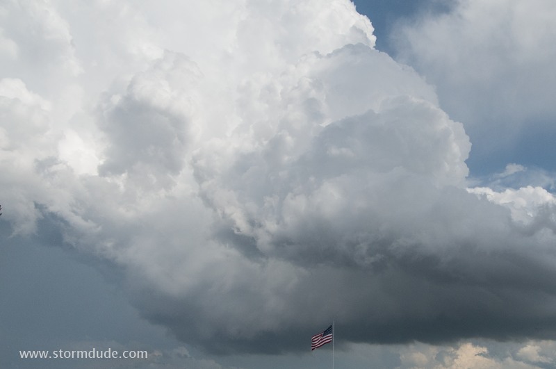
Vigorous updraft in Moore, Oklahoma.
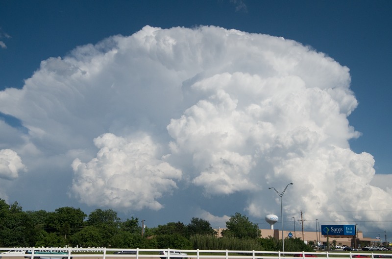
Although I don't chase today, I'm still treated to a scenic supercell.
The storm intensifies just east of Moore and continues over rural areas.
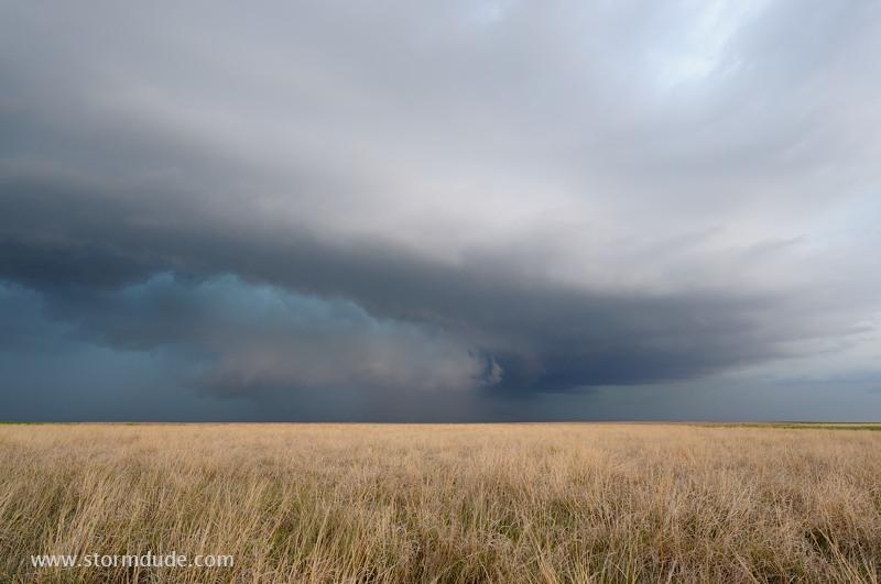
May 16: Texas Panhandle Storm
Wall cloud develops on the western flank of a supercell near Rita Blanca National Grasslands.
Scenic supercell in the far northwest corner of the Texas Panhandle.
Intense leading edge of eastward-moving storm.
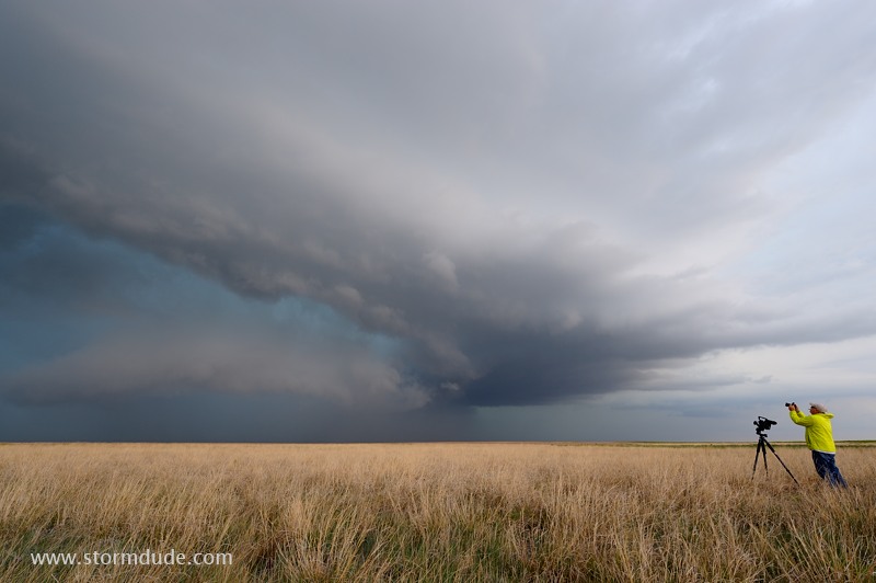
Storm chaser gets both video and a still shot of this beautiful Texas Panhandle thunderstorm.
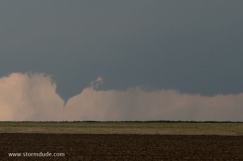
Further south, a small funnel cloud produces a brief needle tornado.
The southwestern split of the storm continues towards Amarillo.
Even weak high-based thunderstorms can be very scenic.
Wide-angle view of storm northwest of Dalhart.
Thunderstorm east of Dalhart.
Cold outflow creates an eerie scene.
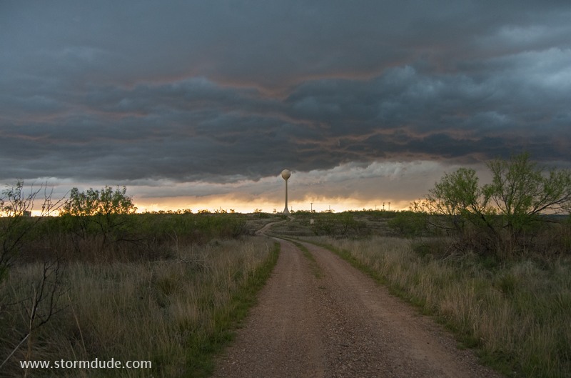
Dusk at Lake Meredith in the central Texas Panhandle.
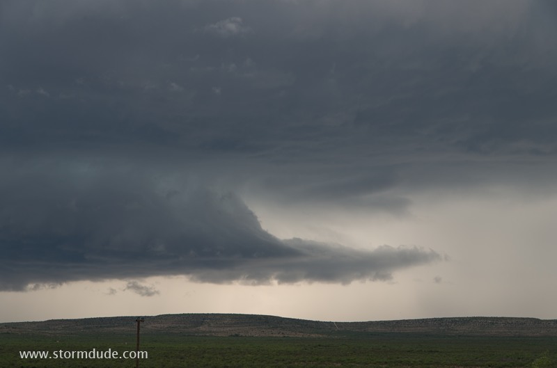
May 17: Southwest Texas Storms
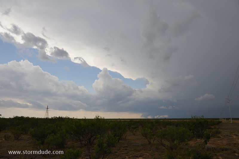
Isolated thunderstorm develops south of Midland in southwest Texas.
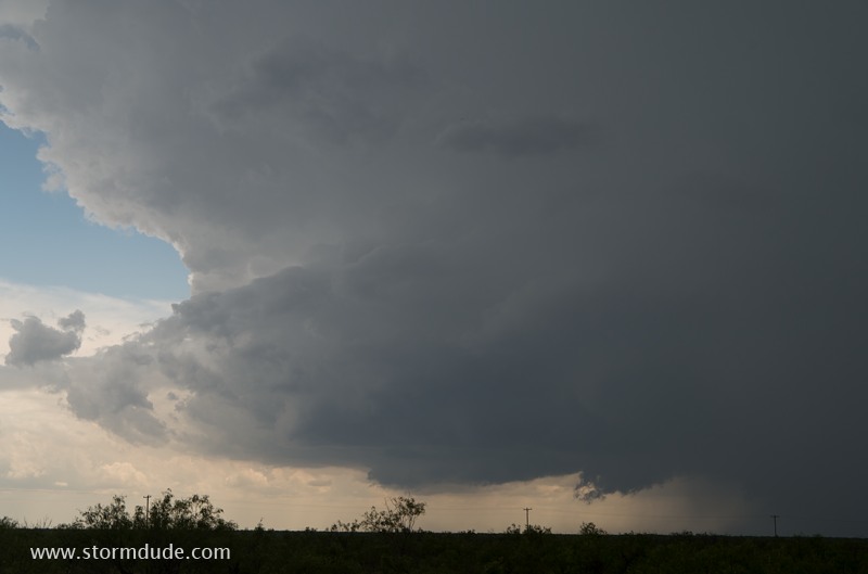
Rain-cooled outflow undercuts storm updraft.
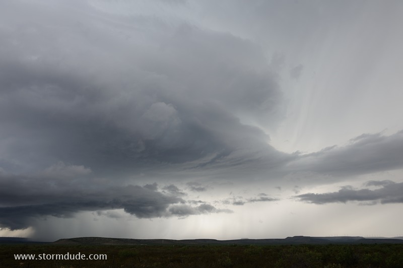
I find another storm further southwest, between Bakersfield and Rankin.
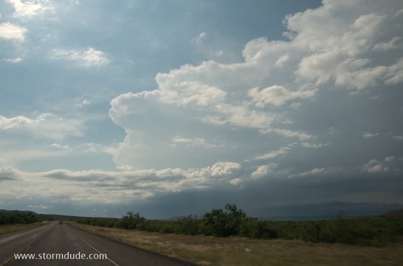
Beautiful structure in this desolate land.
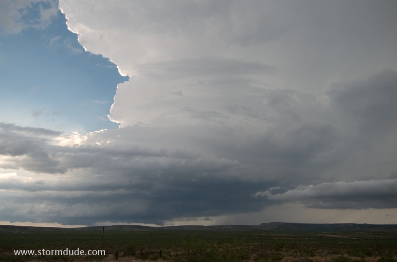
The storm becomes more photogenic as it approaches.
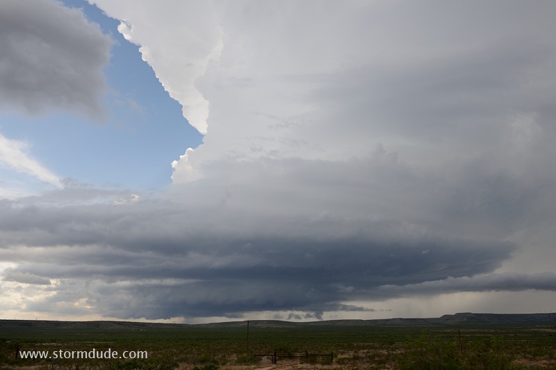
Signs of weak rotation.
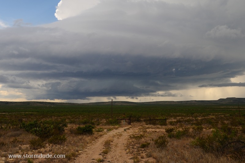
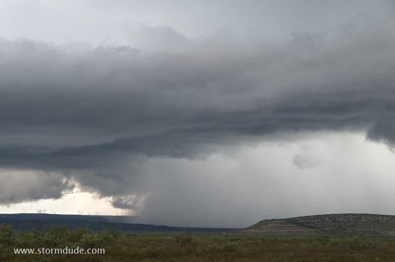
A few minutes later.
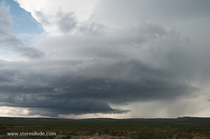
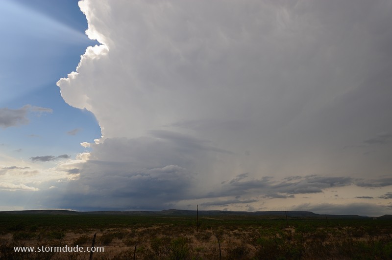
More dramatic views as it gets closer.
Zoomed-in view of the updraft/downdraft structure.
Cloudburst begins in lower left corner of the photo.
Close-up of cloudburst.
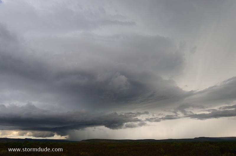
Wide-angle view.