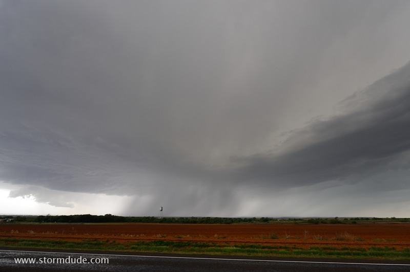
April 24: Central Kansas Storm
Dryline becomes active in central Kansas on a day with modest moisture and weak mid-level winds.
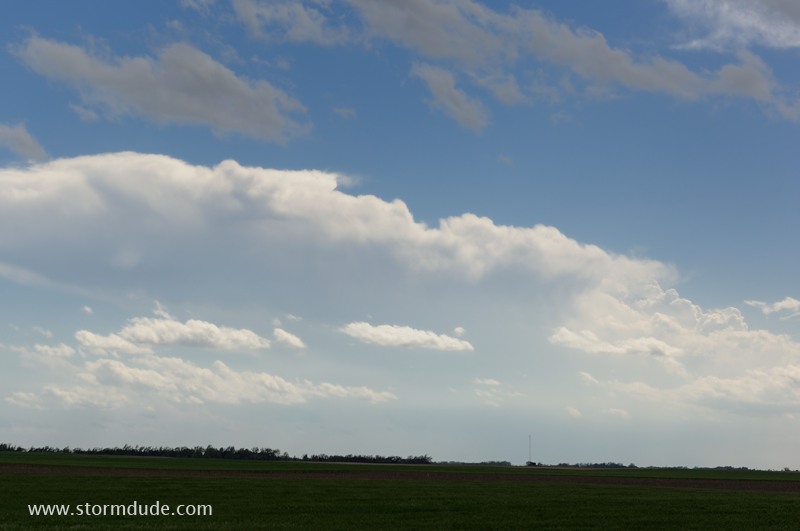
Storm to my west is at southern end of a messy, broken line of weak convection.
I head southwest a bit to watch a strong, isolated convective tower. But it fizzles. Meanwhile, the disorganized storms to the north become severe.
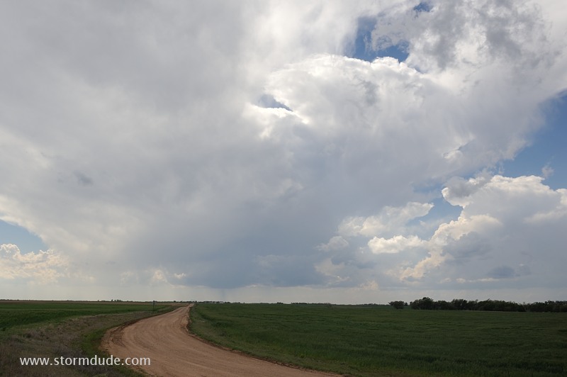
After heading north-northeast, I'm soon back in position with a new storm developing to my west.
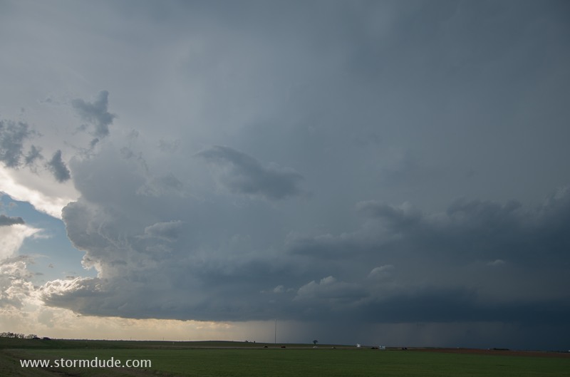
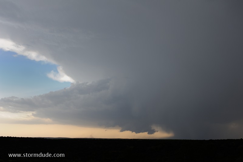
Main updraft a few miles southwest of Salina, Kansas. It is headed east-northeast, across Salina, so I drive east and north on slow country roads to get ahead of the storm while avoiding baseball-size hail.
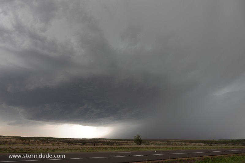
Finally in position an hour later, a few miles north of Chapman, Kansas (a small town east of Salina).
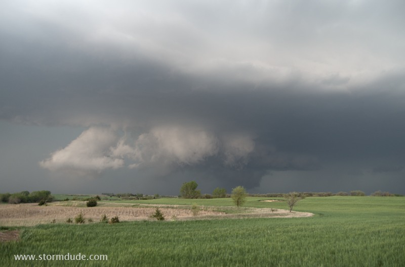
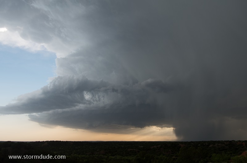
Front edge of a scenic storm.
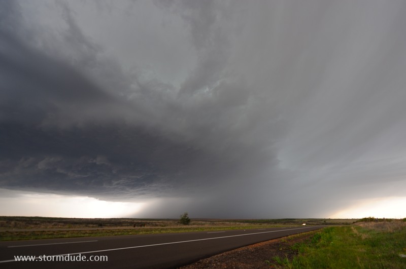
View of storm from a little west of Junction City.
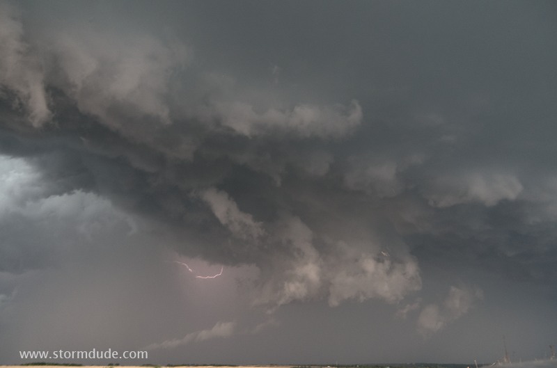
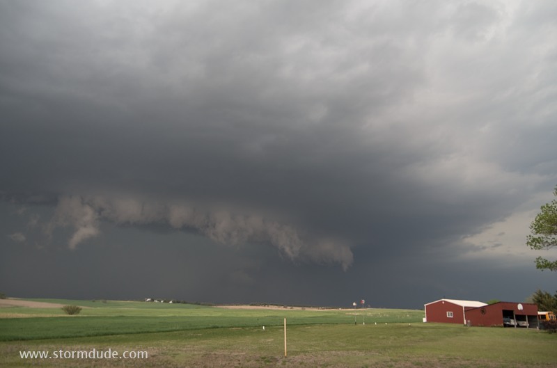
Cool outflow creates ragged clouds near the front of the storm.
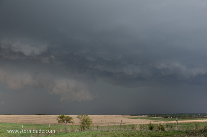
Last view before I leave the storm.
New storm develops over Salina at dusk.
After dark, a line of storms develops southwest of Salina.
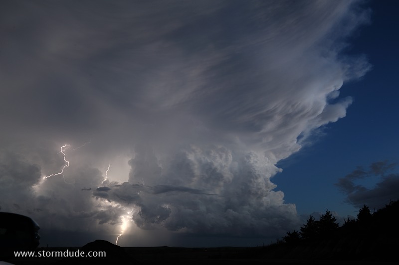
Awesome sight from a few miles north of the storm.
April 26: Northwest Oklahoma Thunderstorms
On a day with strong instability, a storm develops mid-afternoon near Caldwell in far southern Kansas.
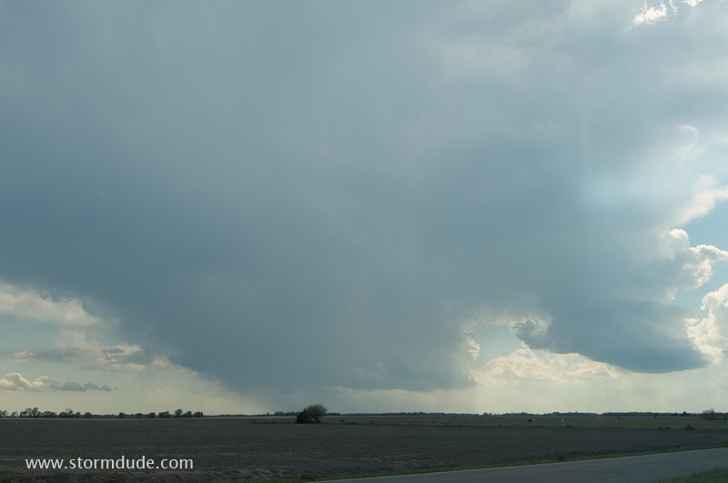
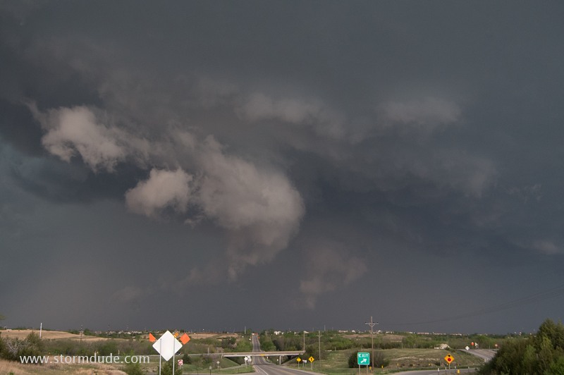
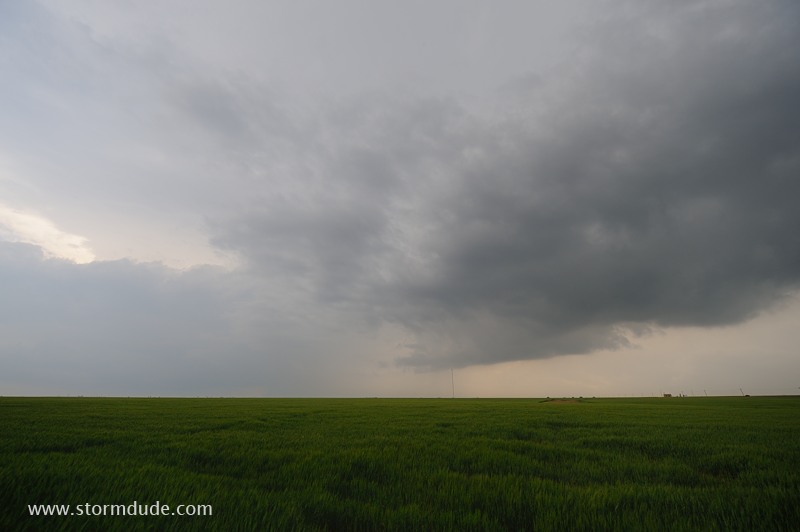
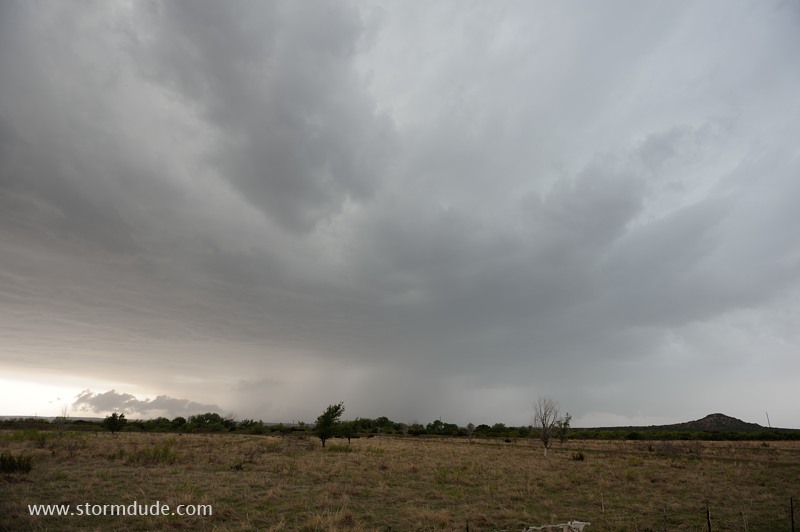
Non-rotating lowering as the storm tries to get organized. Mid-level winds are from almost due south, resulting in minimal shear. As strong convection develops in a large area surrounding this storm, I decide to continue to my original target of northwest Oklahoma.
In northern Oklahoma, just west of Medford, an isolated storm moves nearly due north. Lack of inflow causes convection to weaken, so I continue southwest to a stronger cell.
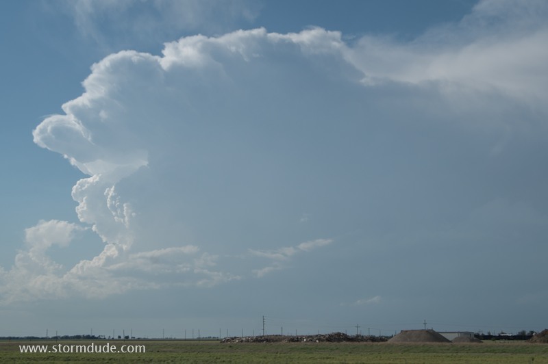
Third storm intercept, classic supercell structure, 2000+ CAPE, 50-knot mid-level jet...everything looks good. But steering winds take the storm into low CAPE, worked-over air.
As the storm moves nearly due north, rain-cooled air surrounds the storm at the surface, choking off inflow energy. But a much stronger storm has formed out west, along the dryline.
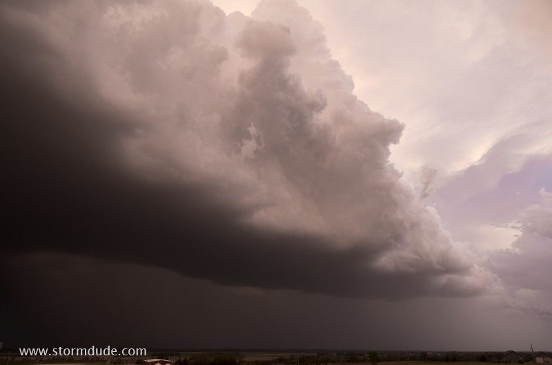
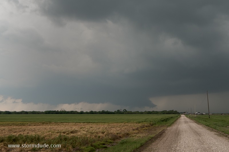
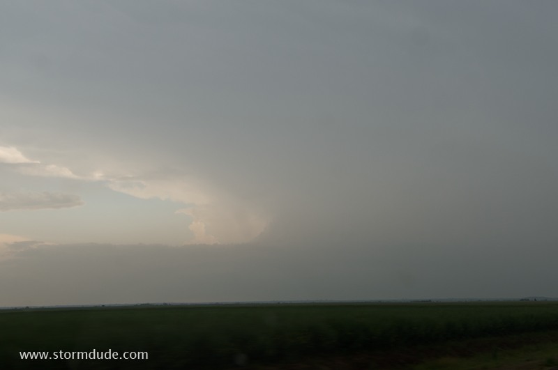
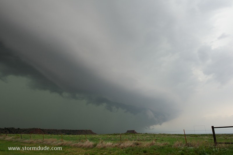
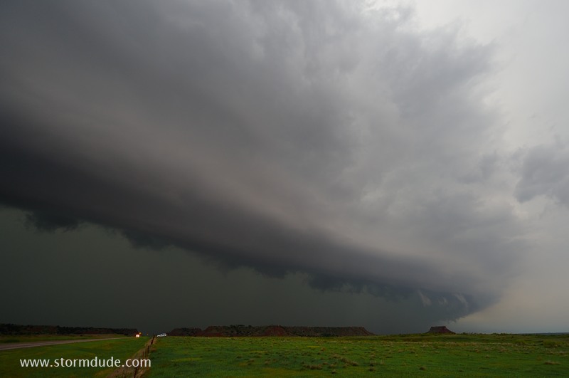
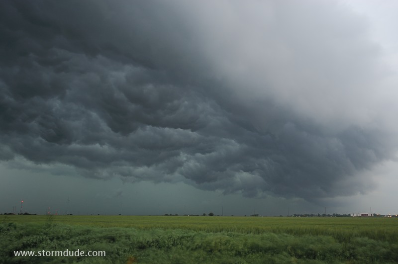
The light grey mass is a strong squall line approaching the Gloss Mountains in northwest Oklahoma (half-way between Enid and Woodward).
Northern end of squall line has a beautiful, layered structure.
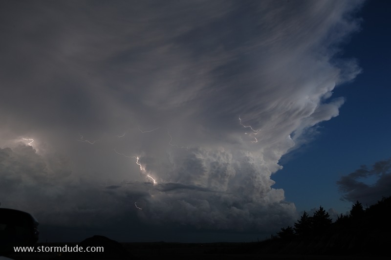
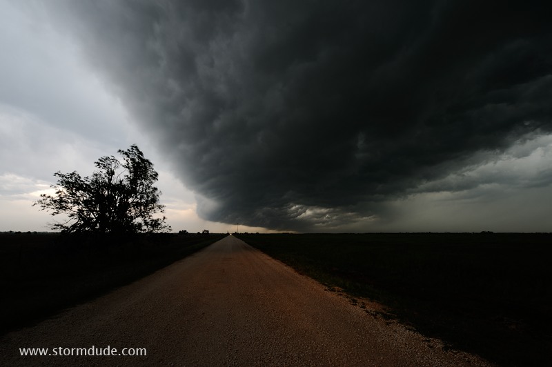
Impressive-looking thunderstorm with high winds and large hail.
Looking left...
...and right.
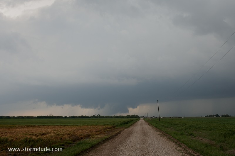
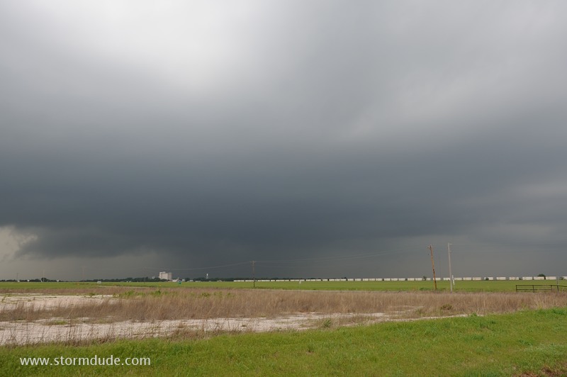
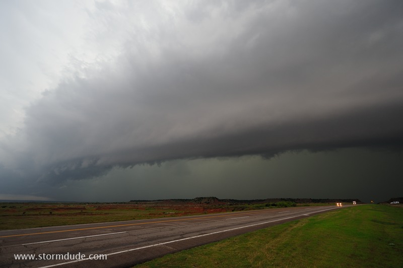
Shelf cloud over a dirt road west of Enid, Oklahoma.
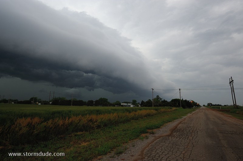
Squall line approaching Enid.
Thunderstorms in the Plains offer an ever-changing variety of surreal scenes.
April 28: Northwest Texas Storms
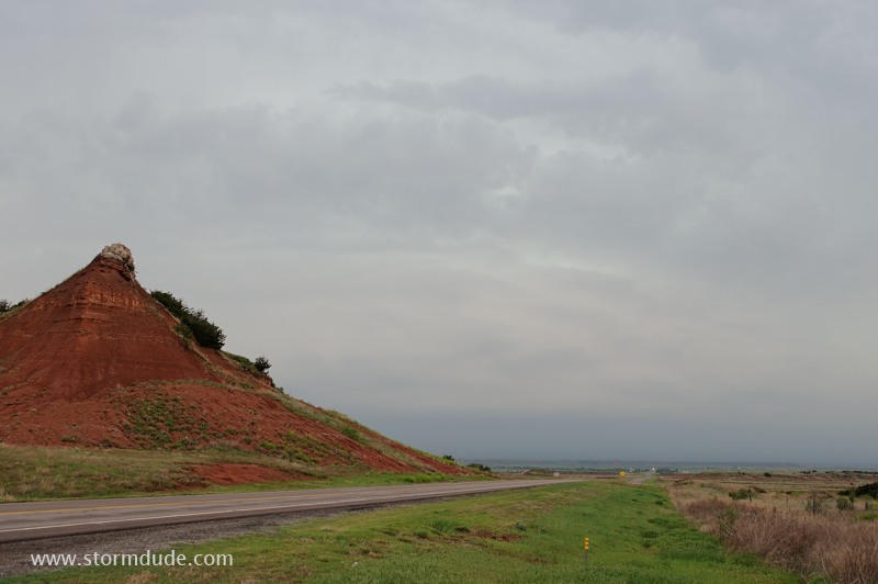
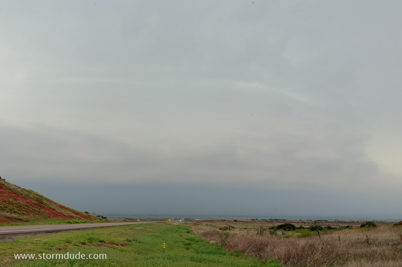
With deep moisture trapped over south Texas, today's objective is to see a high-based, High Plains storms. First intercept is in west Texas, northwest of Quitaque (again).
The storm approaches Turkey, Texas, home of legendary "Texas Swing" musician Bob Wills.
Wide-angle view.
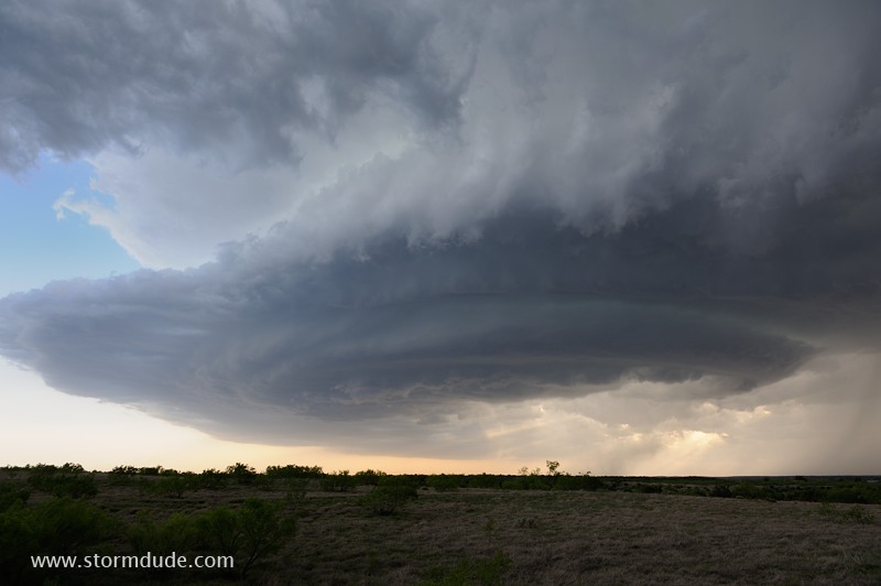
Good directional wind shear maintains the separation of the updraft and downdraft, a fundamental requirement for a long-lived supercell. This shot is taken as it approaches Childress, Texas.
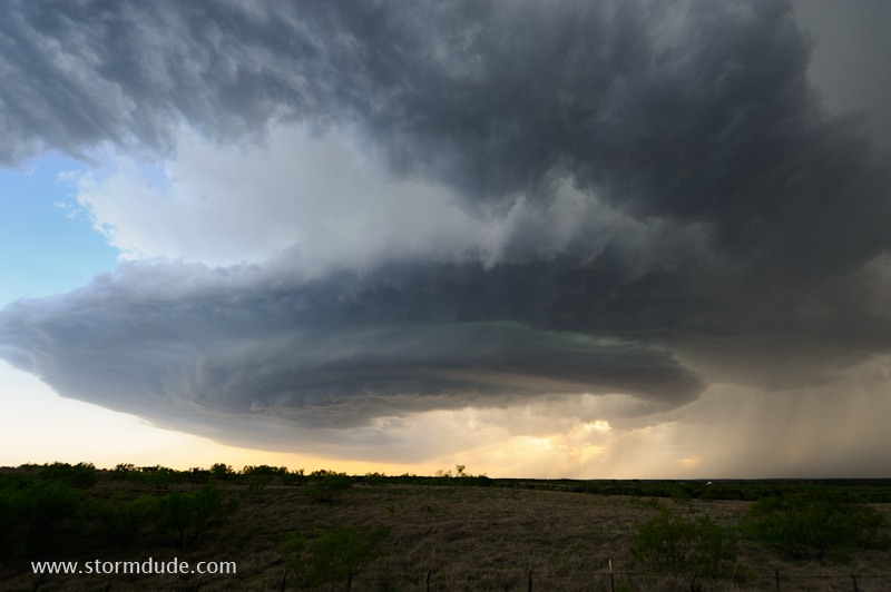
Ultra-wide-angle view. The storm is moving to the right, directly into strong east winds. But since it is going into a poor road system, I decide to switch to a smaller storm approaching from the southwest.
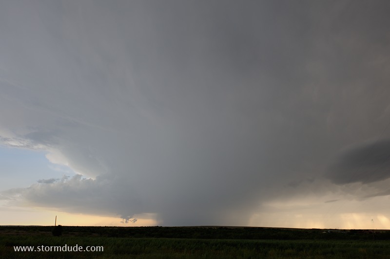
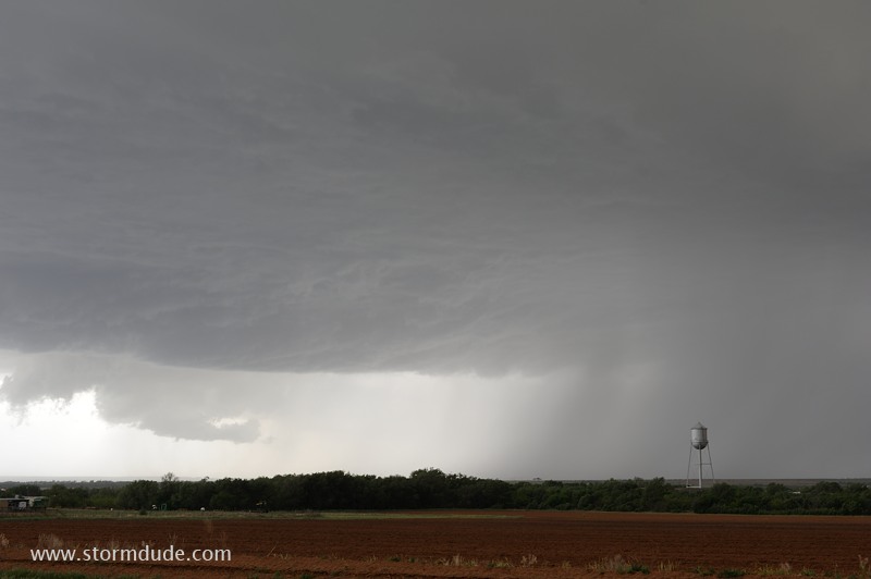
Between Childress and Paducah, a view of an approaching high-based supercell.
At the moment of strongest rotation, a wall cloud develops underneath the updraft.
The wall cloud dissipates as the storm approaches Highway 62 near Cee Vee, Texas.
Even as the storm weakens, it takes on a classic "Mothership" appearance.
Wide-angle view shows a wind-shear induced spiral into the dying storm.