April 10: Northwest Texas Storm
First severe thunderstorm of the season near Vernon, Texas. Messy complex of cells develop, so I head southwest.
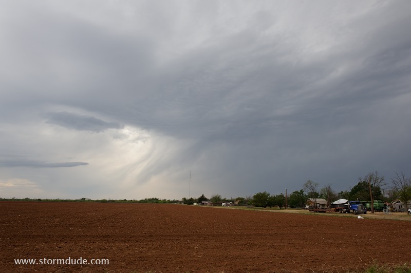
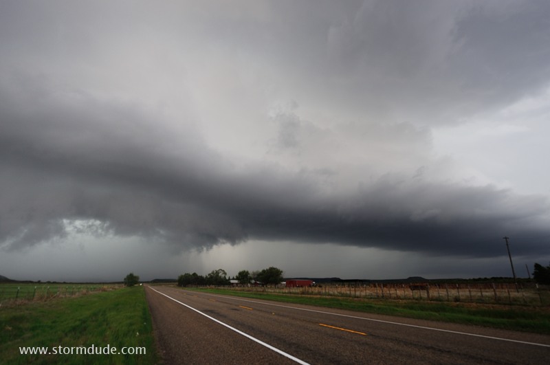
LP Supercell near Guthrie, Texas.
Small thunderstorm moves across the 200,000-acre Four Sixes Ranch.
Small updraft as it moves east-northeast into a roadless region. After dark, this storm becomes a large HP Supercell.
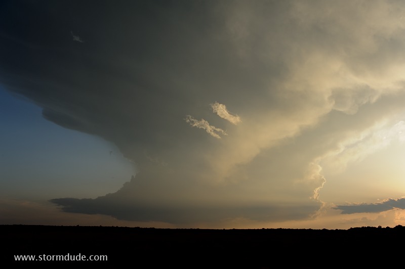
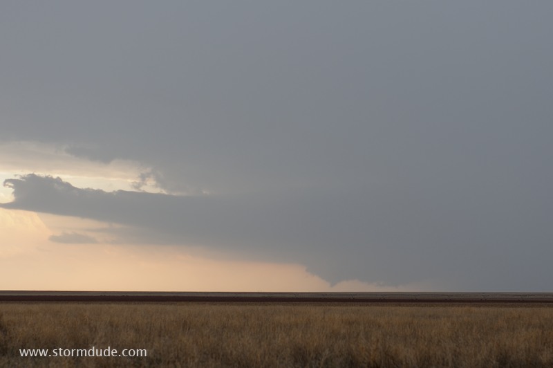
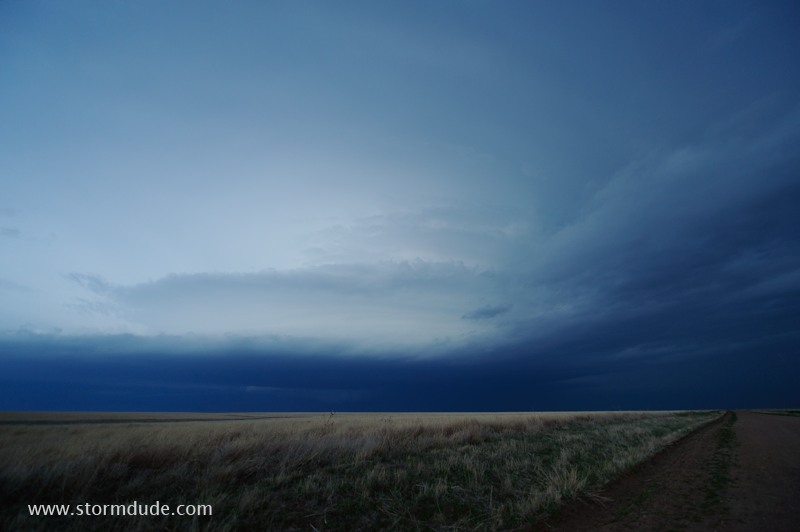
Another cell approaches from the southwest at sunset.
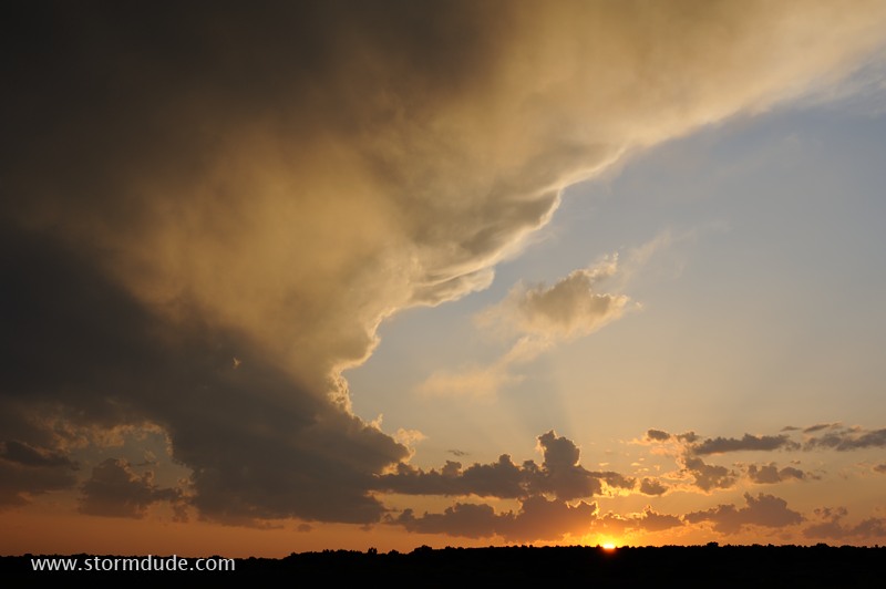
Last photo from my first day of chasing in the new season.
April 11: North Texas Storm
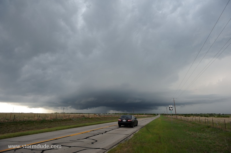
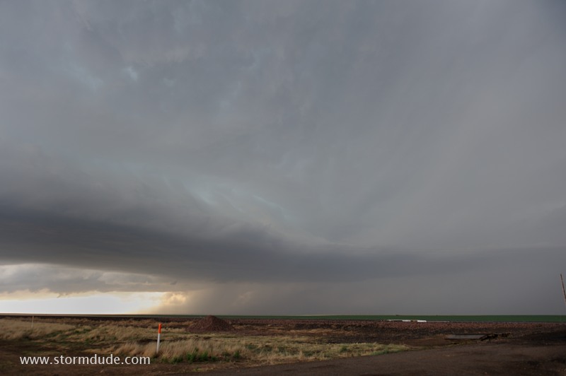
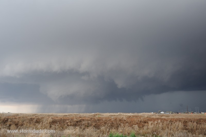
On an afternoon with light surface winds and little shear, a storm develops in north Texas. I intercept this west of Bowie.
Moderate CAPE (around 2000 J/Kg) makes up for weak winds.
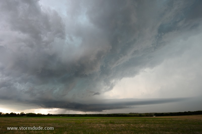
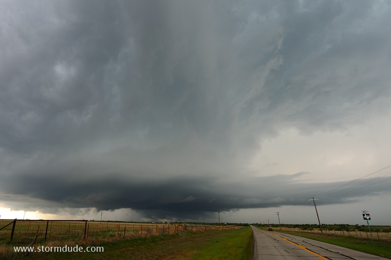
Ultra-wide angle lens shows storm structure.
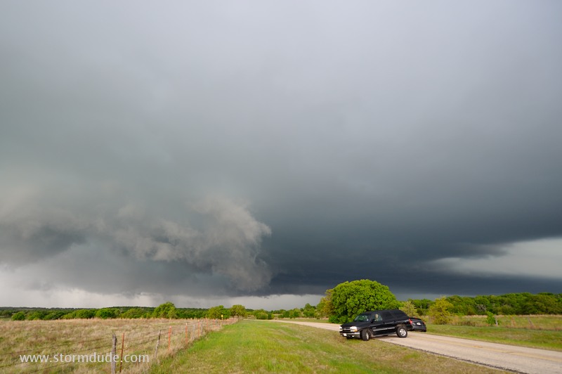
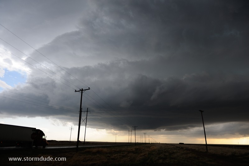
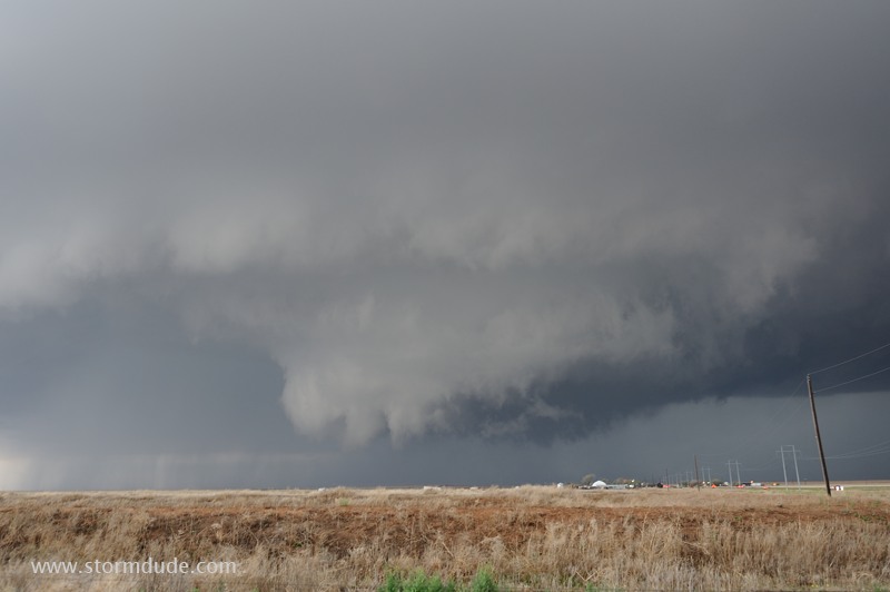
Lots of lowerings, but no sustained rotation.
I let the storm go as it heads towards Denton, Texas.
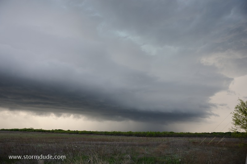
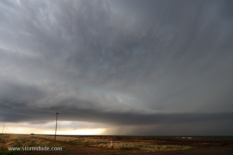
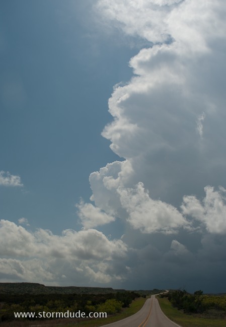
Near sunset behind a small storm west of Graham, Texas.
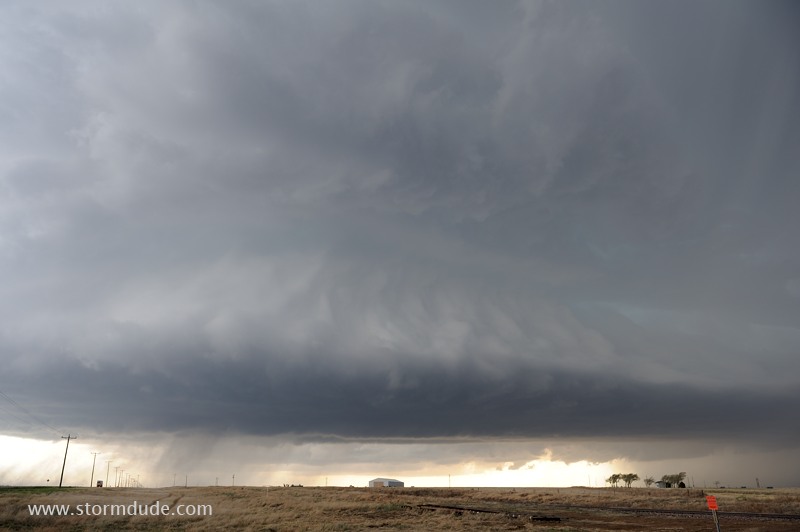
April 15: Panhandles Supercell and Tornadoes
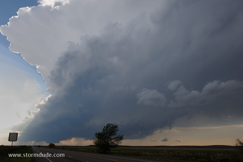
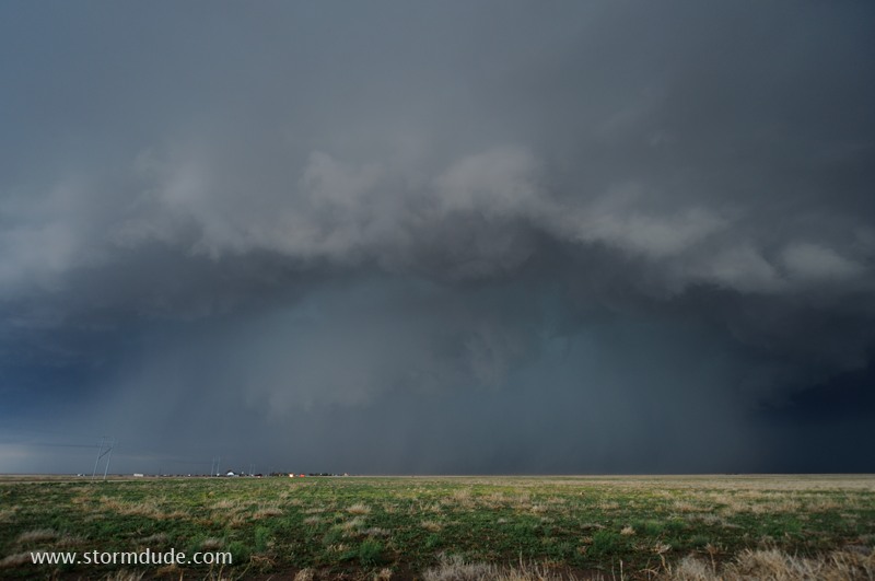
Supercell forms over the High Plains of the Texas Panhandle. This view is looking south-southwest.
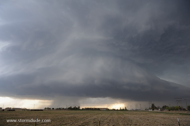
The storm veers right, putting me out of position. I head south to Highway 54 between Dalhart and Stratford where I have a great view of the supercell.
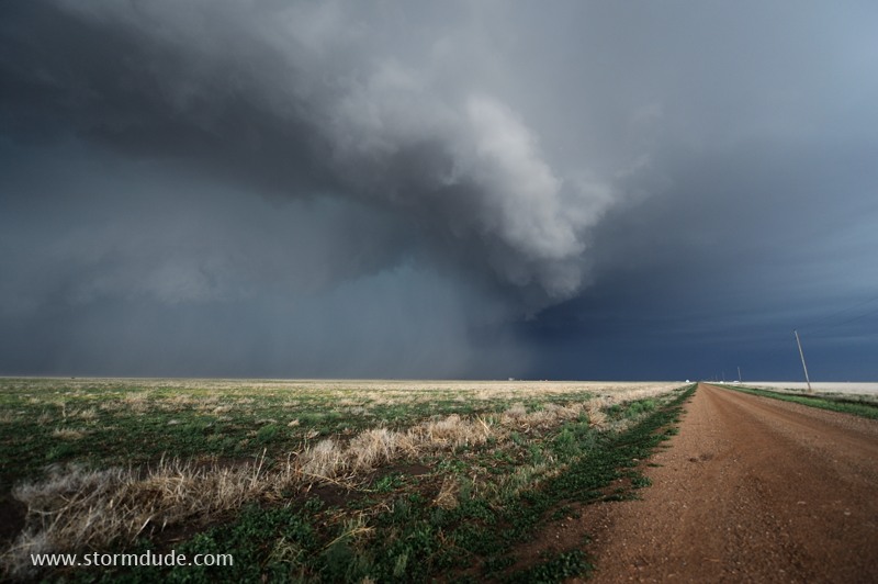
Large updraft on southern flank of the storm.
Wide-angle lens shows storm structure.
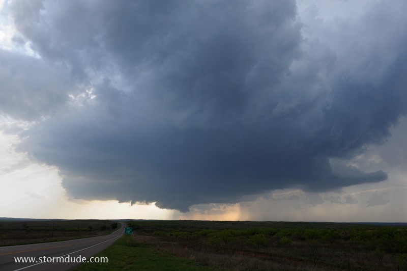
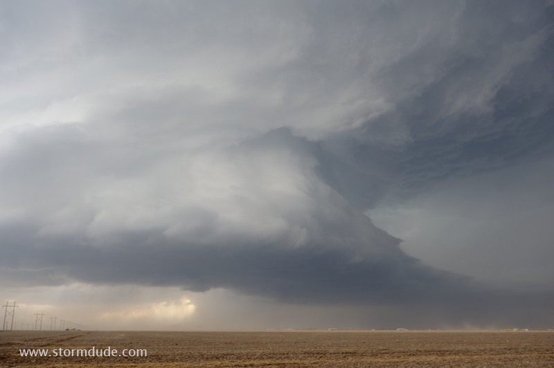
The updraft has a sculpted appearance, not uncommon for isolated severe thunderstorms over the High Plains.
Just east of Stratford, Texas.
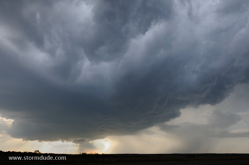
Strong inflow winds create a dust storm.
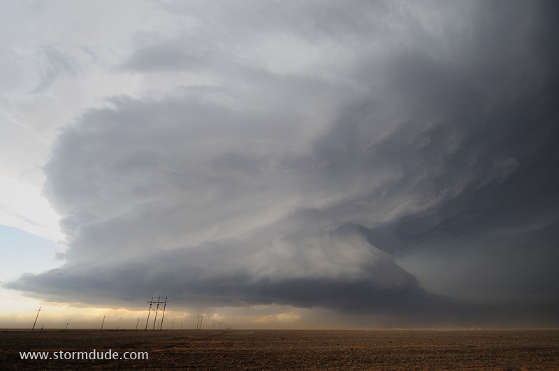
Wide view shows spectacular structure.
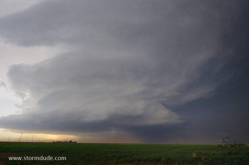
I stay with the storm on its northeast course.
Storm continues into the Oklahoma Panhandle.
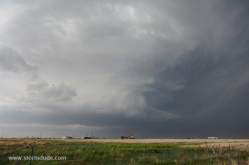
I intercept the storm again west of Guymon (near the 95 and 64 intersection). Wall cloud is visible under the main tower.
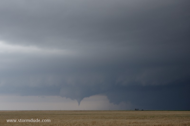
Small tornado forms a few miles south of Eva, Oklahoma.
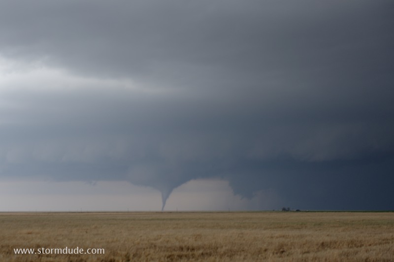
Watching this rare phenomena provides an insight into why so many storm chasers become obsessed with seeing tornadoes.
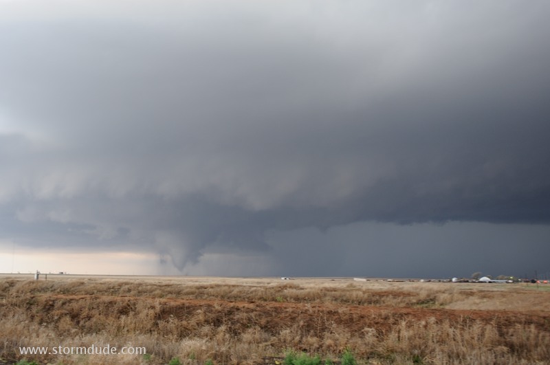
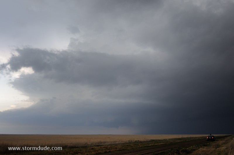
The tornado lifts, and I drive west on Highway 64 for a closer view of the wall cloud. Five minutes later, a new tornado forms.
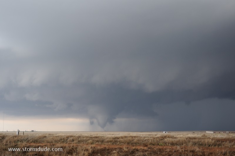
Another shot from my car window. I set up my tripod as the tornado widens...
...but the tornado lifts before I can snap a photo. Time stamps show only 23 seconds between shots. These are the brief, isolated tornadoes that make up the vast majority of tornadoes each year.
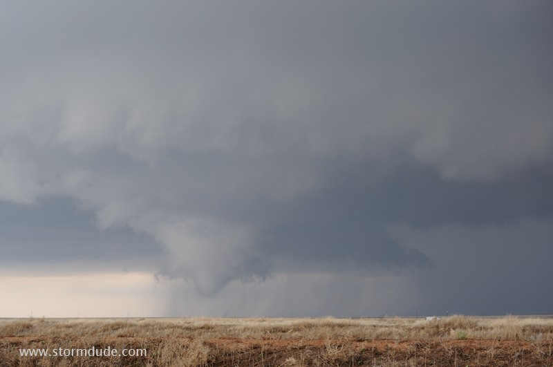
Wall cloud continues to rotate rapidly.
The storm threatens the town of Eva, but no more tornadoes touch down.
The wall cloud gives way to a beautiful cloudburst.
Dirt road leads to the mesocylone, but with sunset near I decide to avoid the hail risk and leave the storm.
Last photo of the storm after sunset.
April 16: West Texas Storm
West Texas thunderstorm at the southern end of a line of convection.
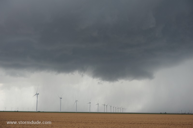
Wind turbines beneath the updraft.
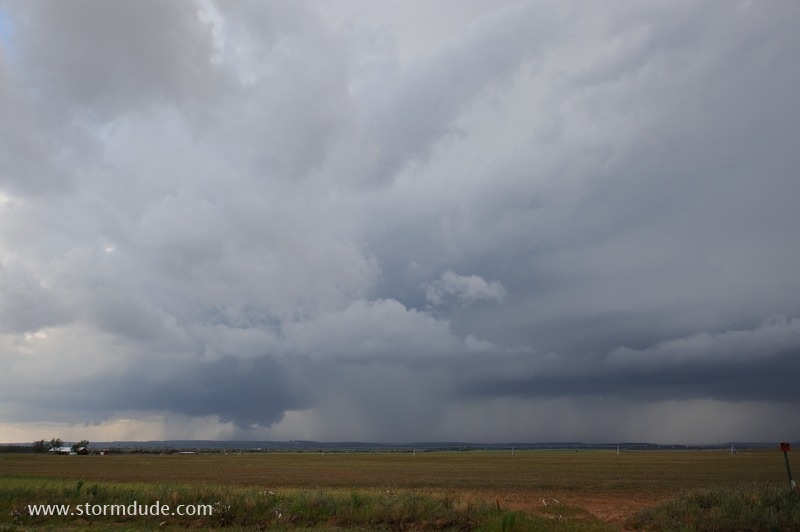
Despite an occasional lowering, the storm lacks rotation and structure.
Northwest of Quitaque, the storm strengthens, with frequent CGs. But it soon weakens permanently.