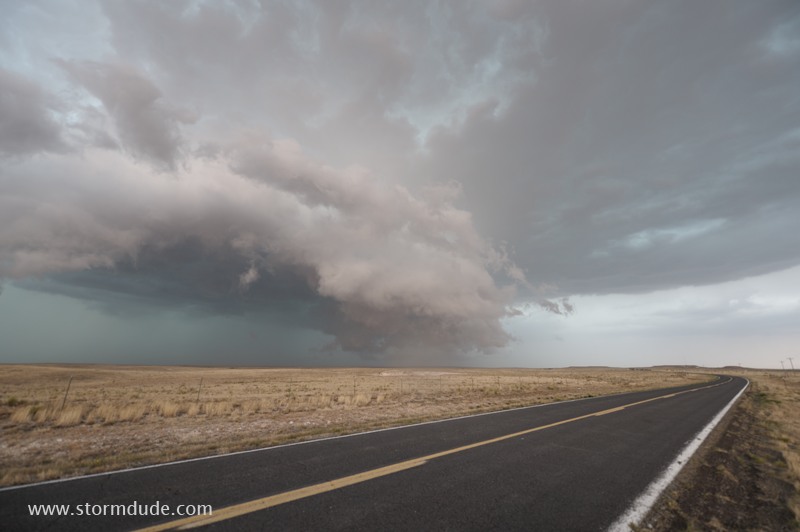
May 21: Northeast Colorado Supercell
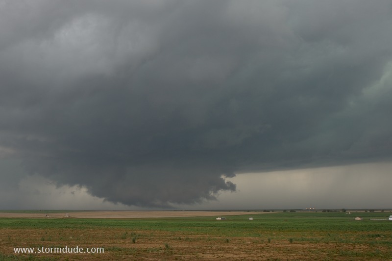
Supercell develops over Denver and moves slowly east-northeast.
Cloudburst over the wide-open plains northeast of Denver.
The storm moves slowly over farms and grazing land for several hours.
Lowerings like this one are soon shredded by a cool gust front racing ahead of the main rain core.
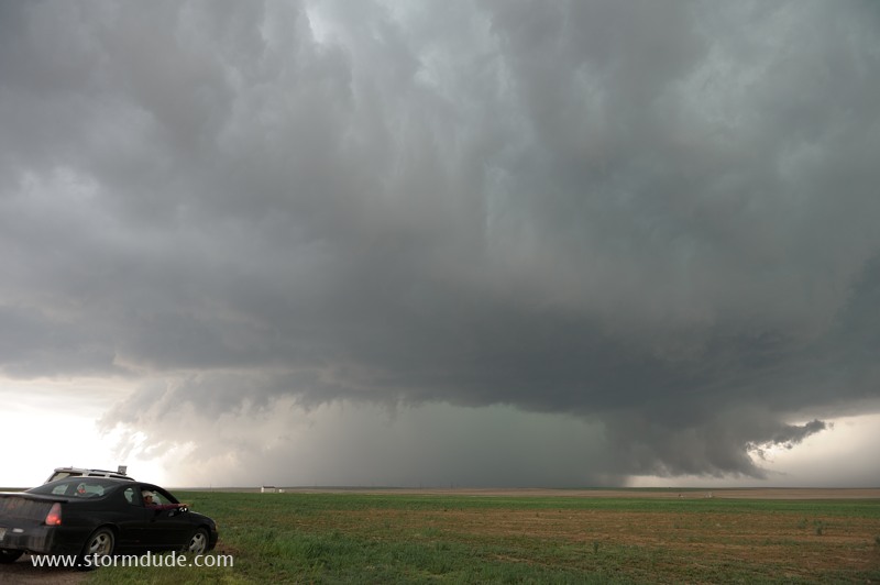
May 22: Eastern New Mexico Storm
Unusual lighting conditions on a storm in far eastern New Mexico.
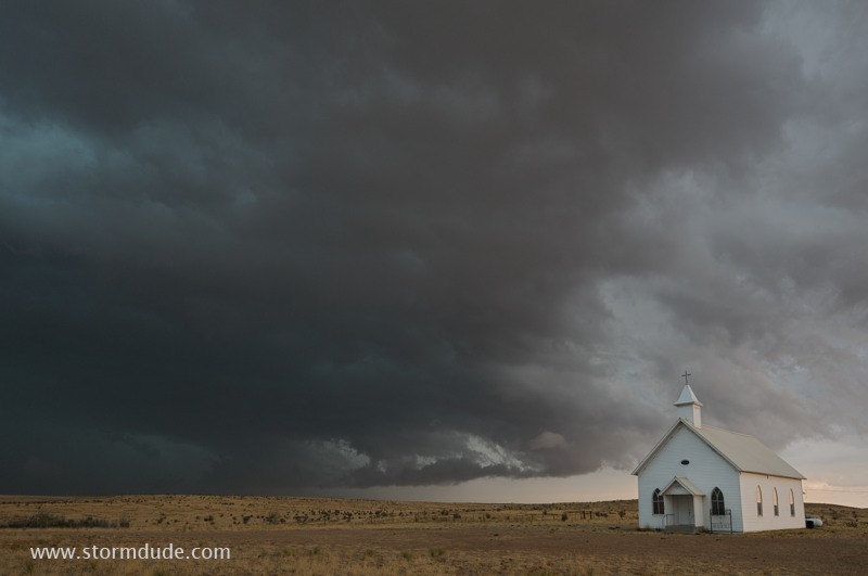
Spring thunderstorm near Nara Vista, New Mexico.
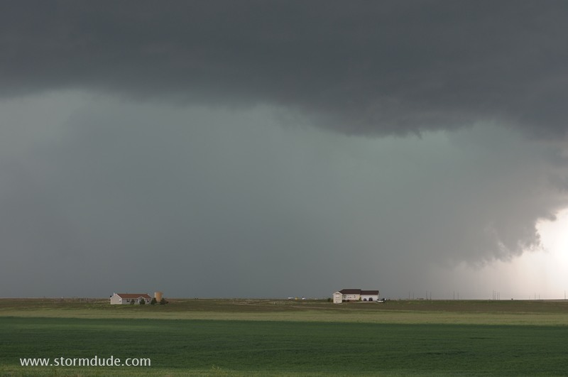
May 24: New Mexico Thunderstorm
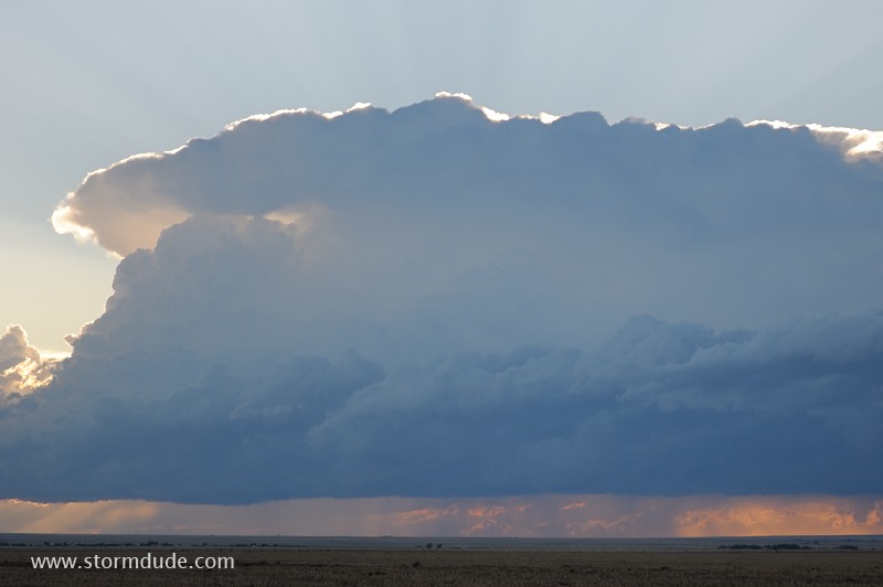
Thunderstorm over the high plains of northeastern New Mexico.
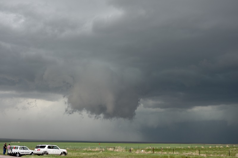
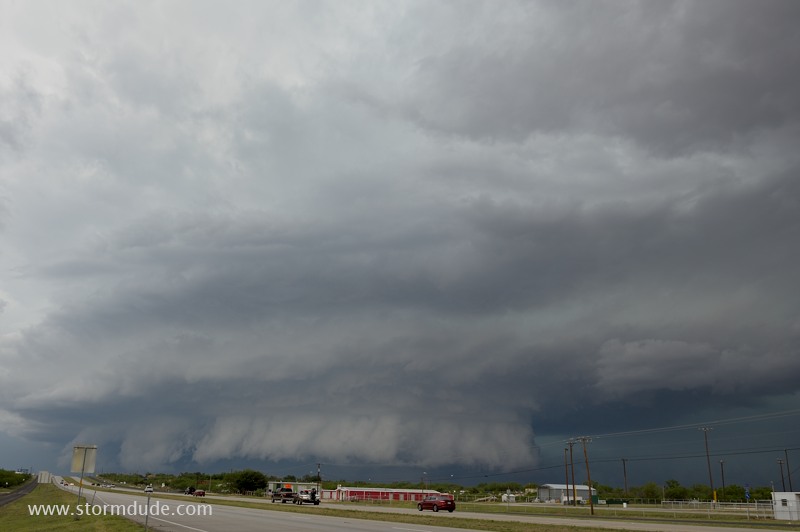
May 26: Southwest Texas Supercells
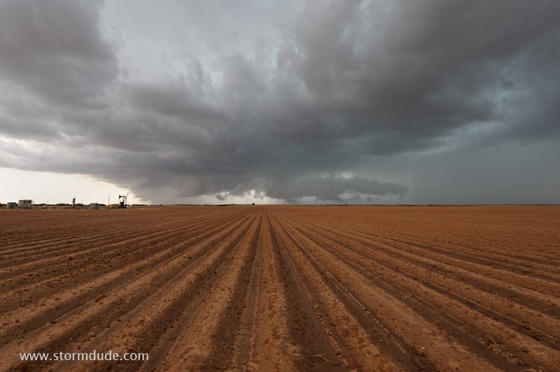
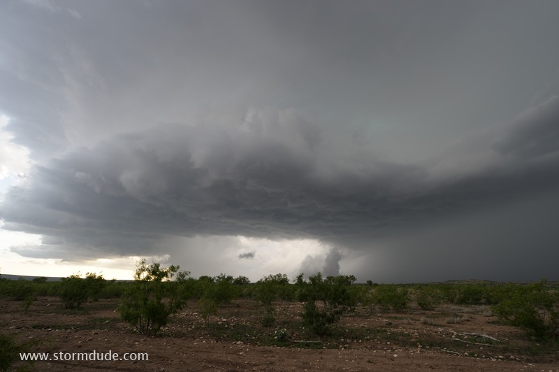
Supercell forms mid-afternoon in southwest Texas.
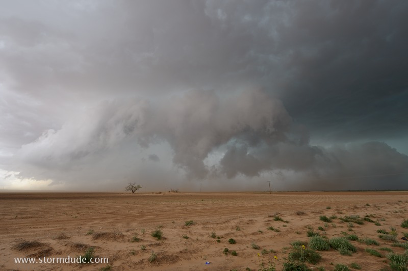
Ragged, dusty storm between Lamesa and Big Spring.
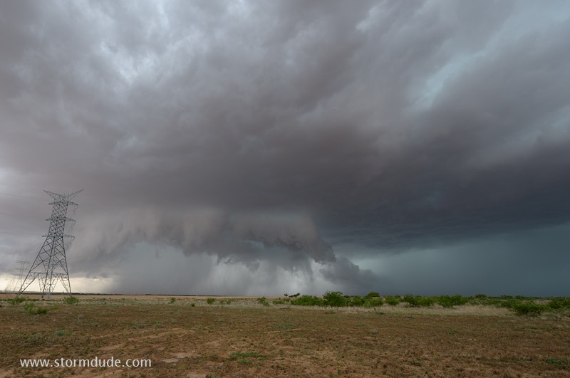
Very scenic storm as it moves east-southeast.
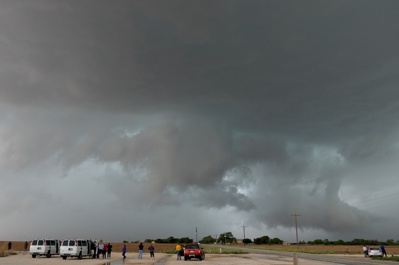
Chase tour group enjoys the view.
HP Supercell approaching Big Spring, Texas.
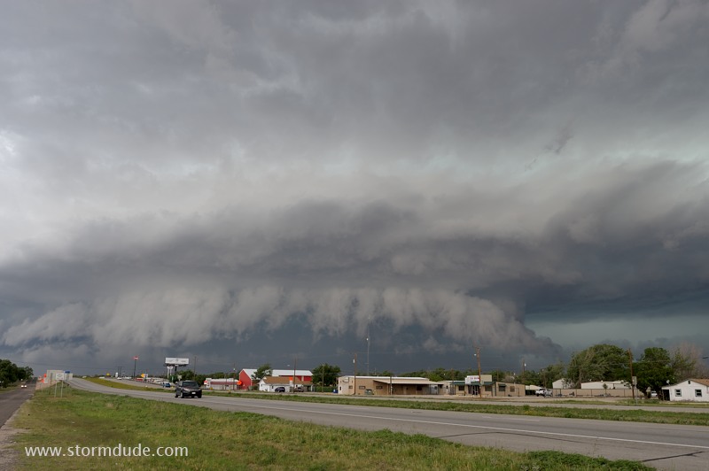
Shelf cloud becomes ragged as the heavy rain core blasts cold air outward.
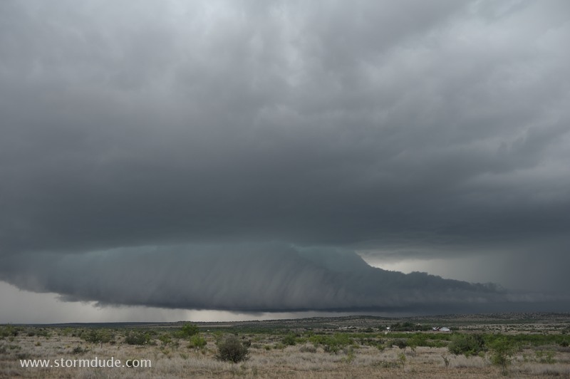
New storm approaches Highway 87 near Sterling City, south of Big Spring.
At dusk, a third storm approaches Route 163 southwest of Sterling.