June 1: Northwest Kansas Thunderstorm
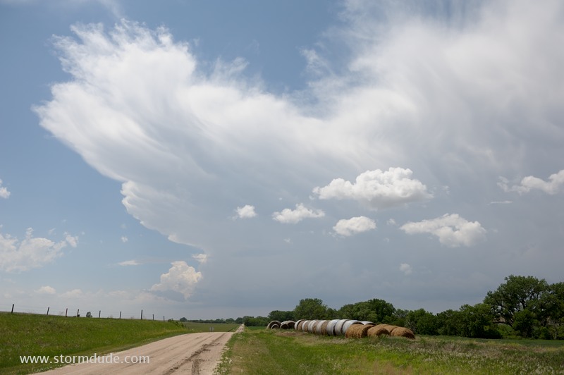
Early afternoon storm fires up in northwest Kansas.
It looks good for a while as it drifts east towards Highway 83, north of Selden, Kansas. But it then quickly dissipates.
June 3: Central Nebraska Storm
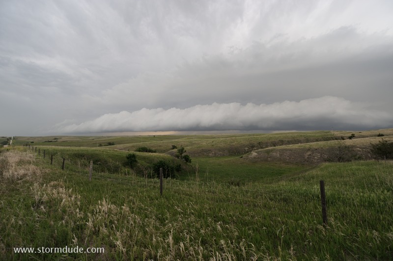
Shelf cloud over central Nebraska.
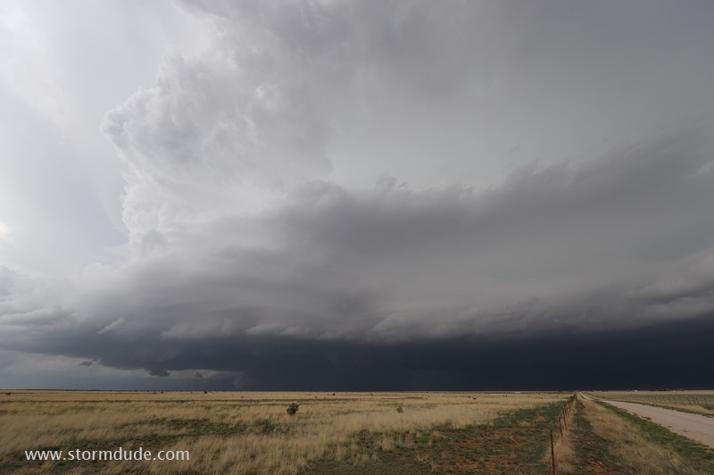
June 7: Eastern New Mexico Storm
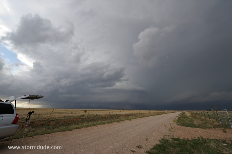
Storm develops south of Tucumcari and moves slowly south-southeast.
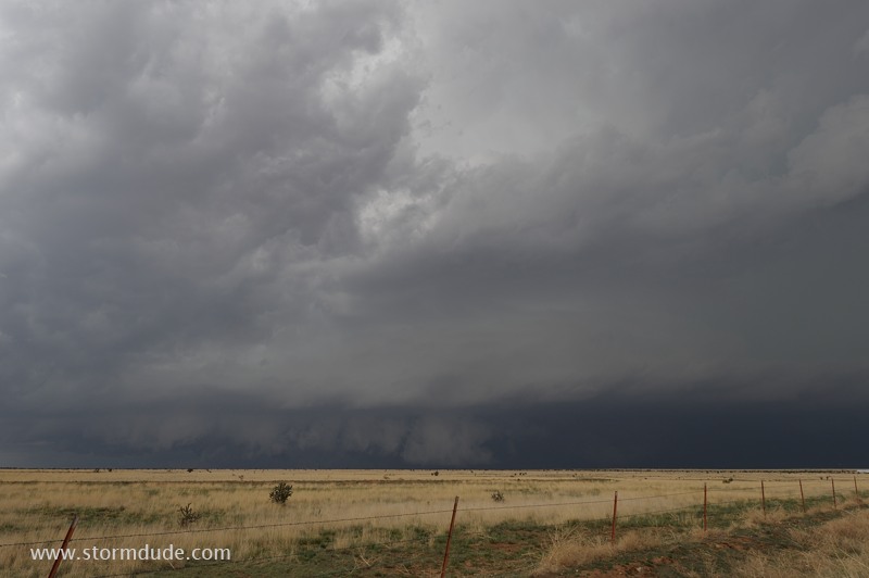
Storm moves across cattle grazing land of the high plains of eastern New Mexico.
Dramatic views although the storm is not particularly well organized.
At dusk the storm strengthens.
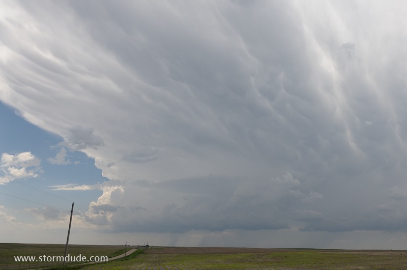
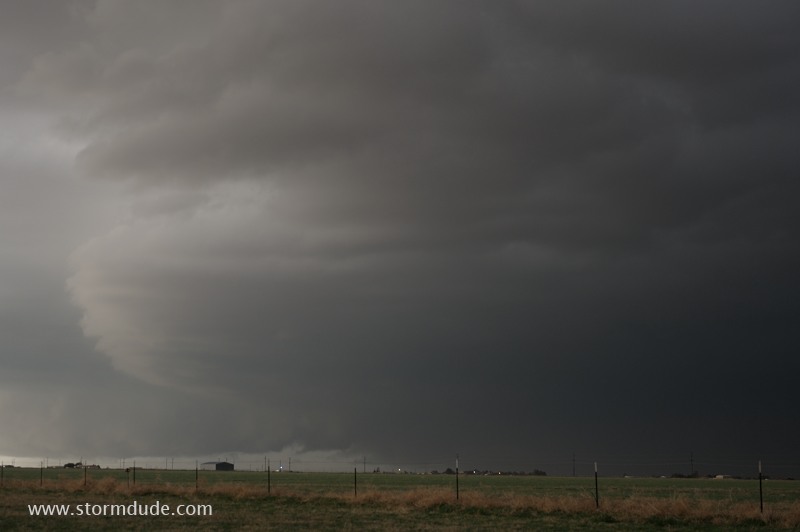
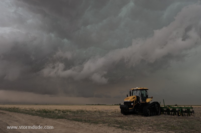
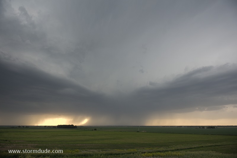
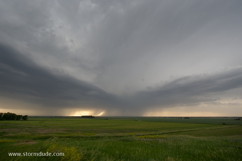
June 11: Western Kansas Squall Line
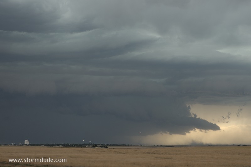
Squall line over the plains of far western Kansas.
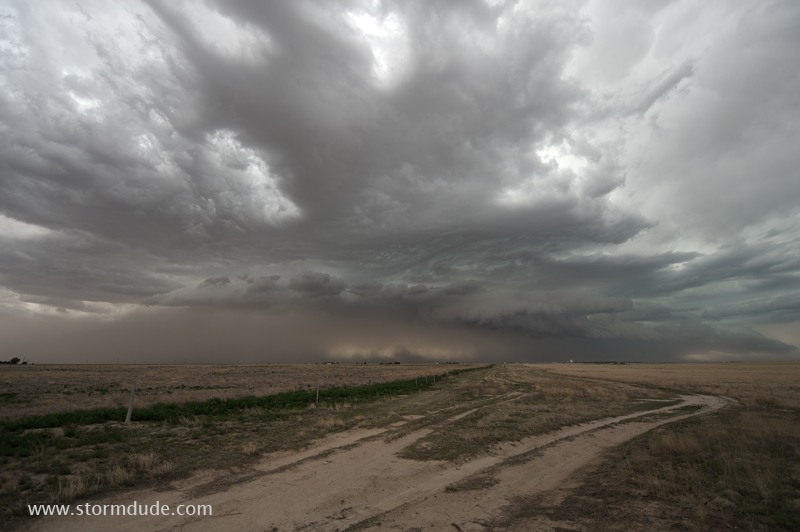
High-based thunderstorms can take on unique characteristics over the high plains.
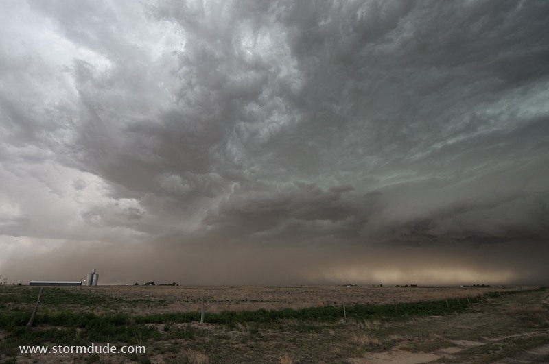
Near Tribune, Kansas.
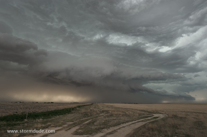
Unusual cloud structures make this a worthwhile chase day.
Last view before heavy rain overtakes me.
June 14: Central Nebraska Thunderstorm
Thunderstorm northeast of Grand Island, Nebraska.
Last view before I head back to California.