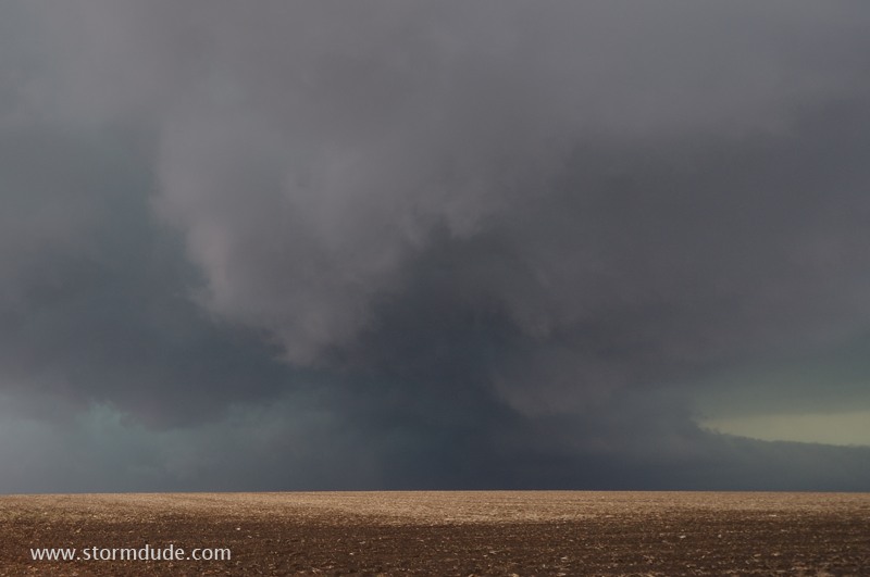
April 23: Southwest Oklahoma Storm
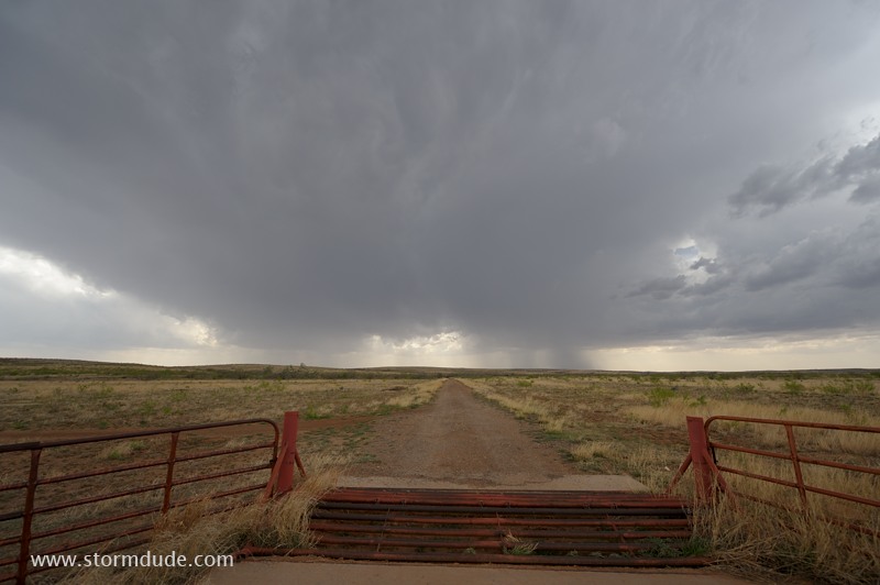
Deep convection develops southwest of Childress, Texas.
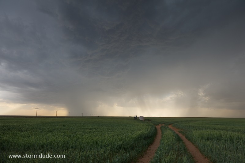
Storm over a wheat field in southwest Oklahoma.
Without rich moisture from the Gulf of Mexico, storms tend to be high-based.
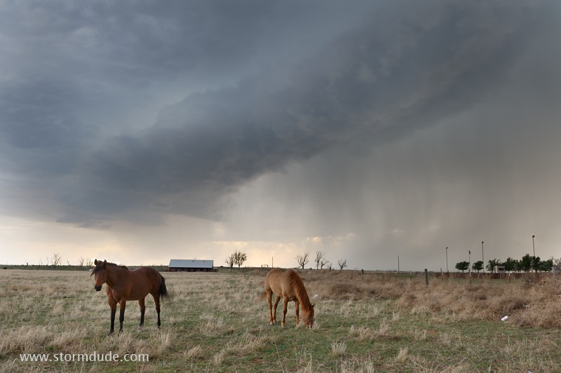
Nevertheless, some peaceful farm scenes in rural Oklahoma.
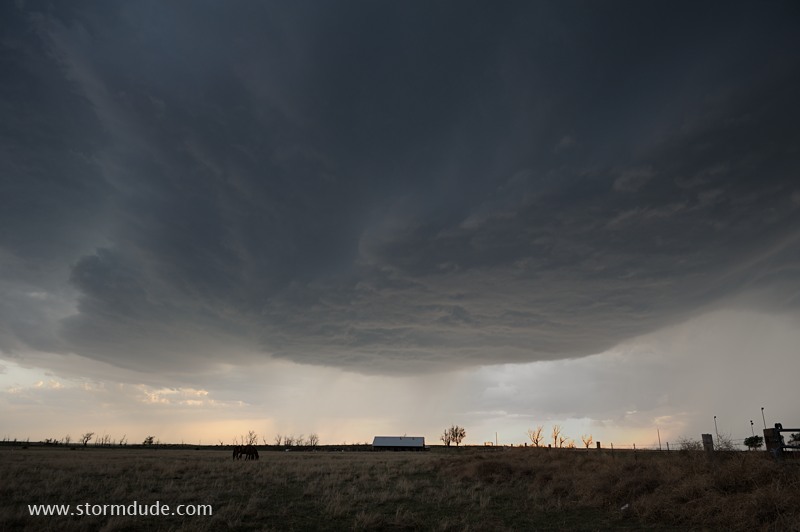
Near Altus, Oklahoma.
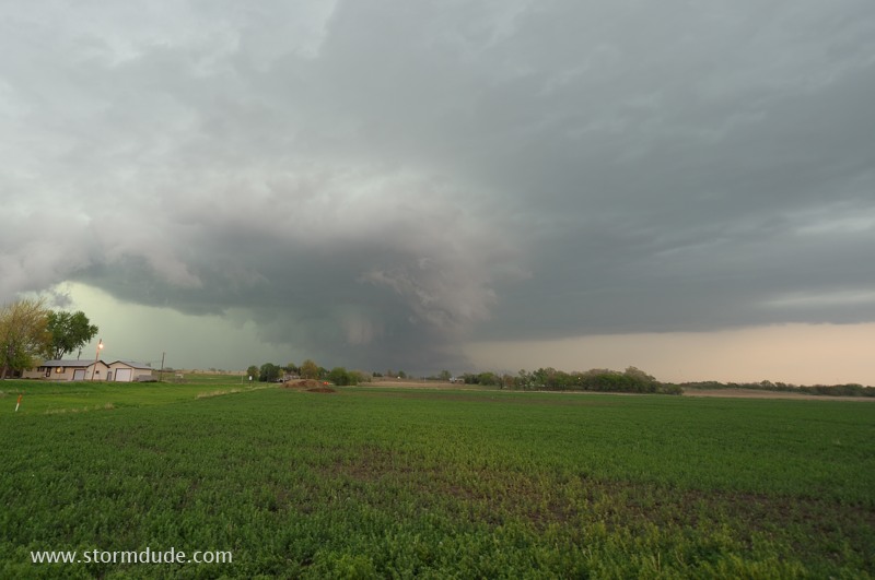
April 27: Red River Storm
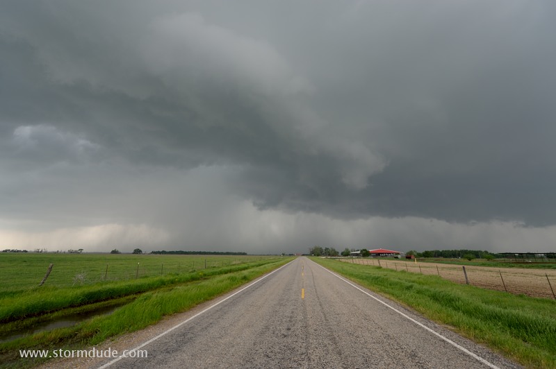
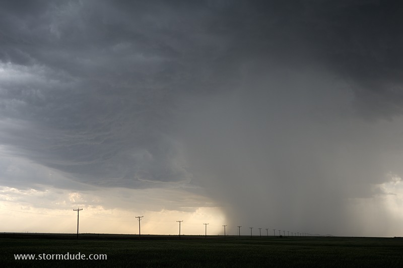
Strong storm develops north of Paris, Texas, on a day when high-end supercells hit central Arkansas.

I avoid chasing further east, into the hills and forests of Arkansas, and instead watch a squall line develop at dusk near McAlester, Oklahoma.
View from my motel.
May 11: Southern Nebraska Wedge Tornado
Pam and I intercept a large tornado hidden in an HP Supercell in southern Nebraska (3 miles ENE of Cordova at 5:06 pm).
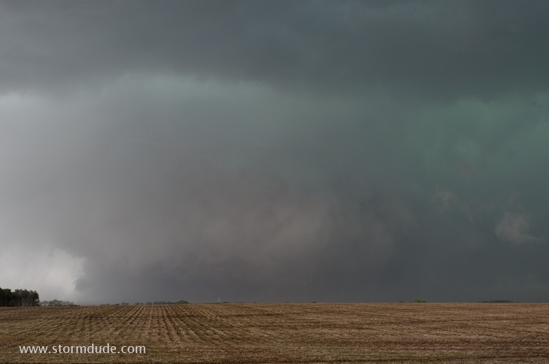
Wedge tornado a little to our west. When we see a power flash about a mile away, it seems like a good time to head south (3 miles due east of Cordova at 5:08 pm).
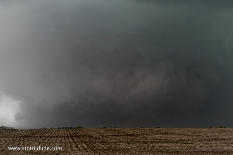
Contrast-enhanced view.
A view of the weakening storm west of Lincoln, Nebraska.
May 20: Denver Thunderstorm
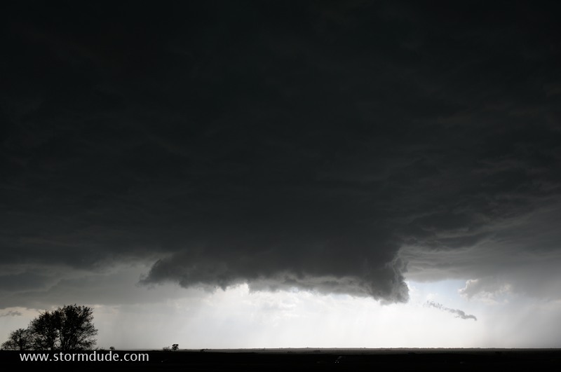
Storm becoming outflow-dominated over the high plains east of Denver.