May 28th: Central Kansas Wedge Tornado
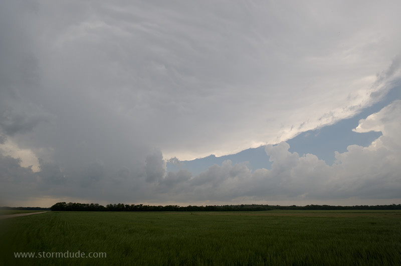
Isolated storm fires in an environment of high CAPE and good shear along a stationary front north of Salina, Kansas.
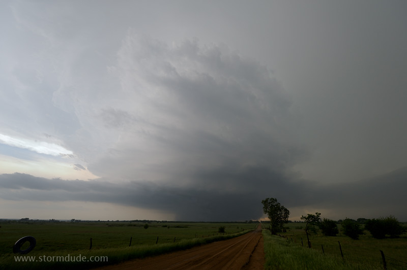
Cone tornado forms near the small town of Bennington.
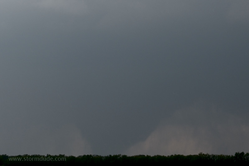
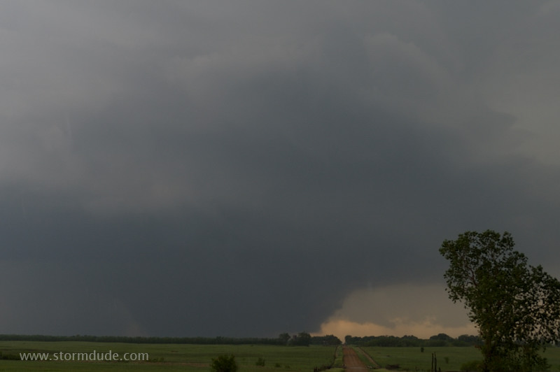
It widens about five miles west of my position but is obscured by rain.
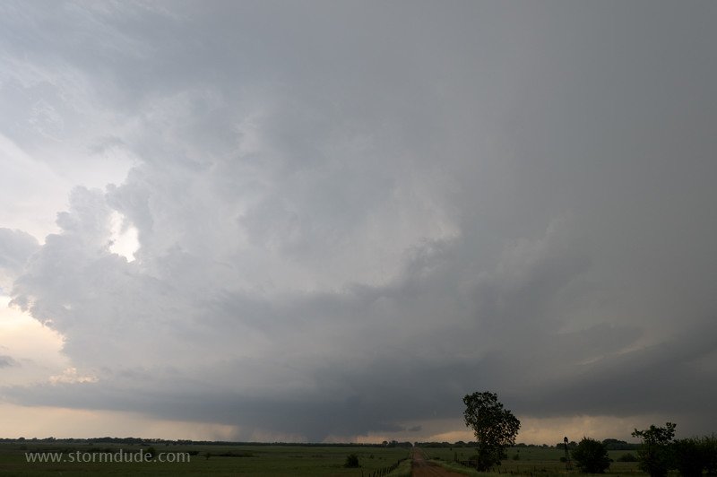
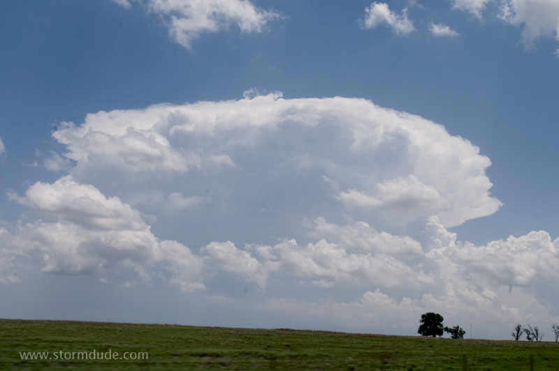
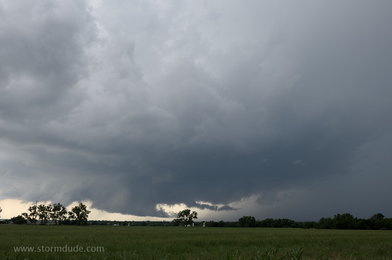
I'm far enough away to enjoy an impressive storm structure.
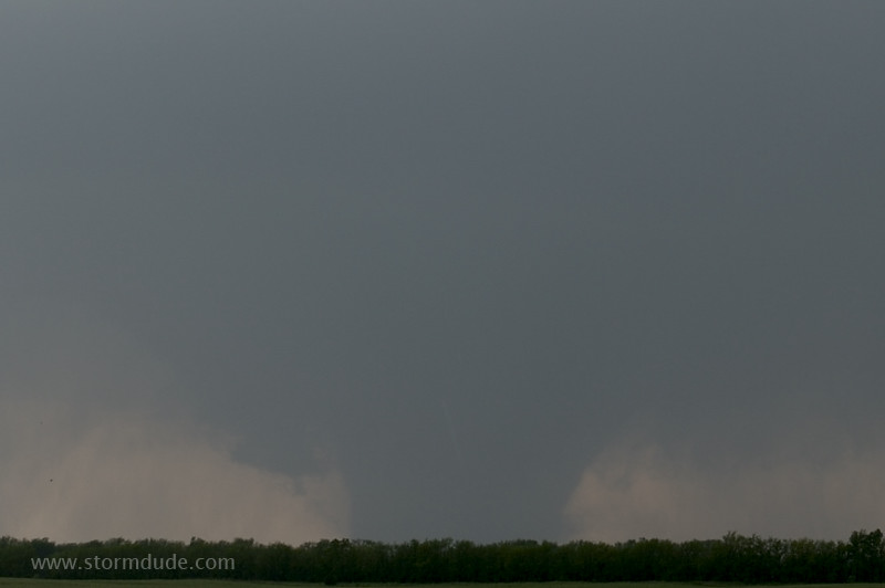
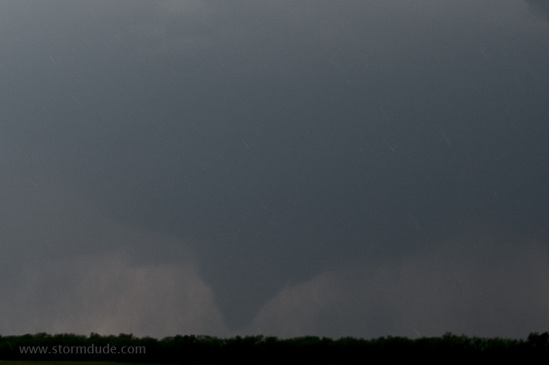
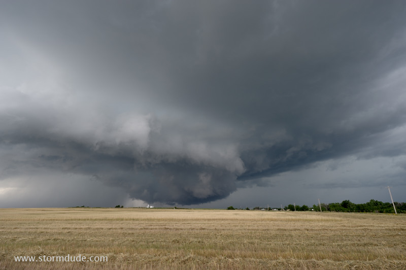
Large, nearly stationary wedge-shaped tornado (width is greater than height).
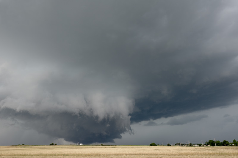
Rotating thunderstorm with large, intense tornado.
Zoomed-in view of one of the most stunning sights in nature.
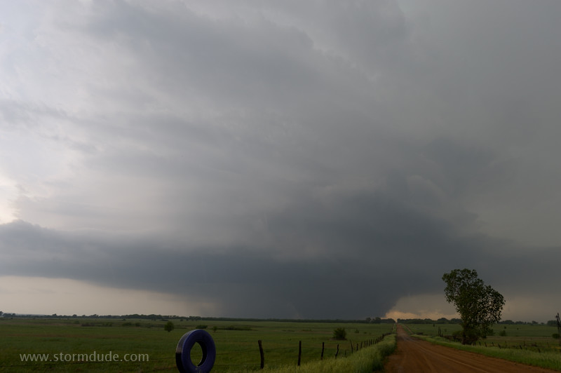
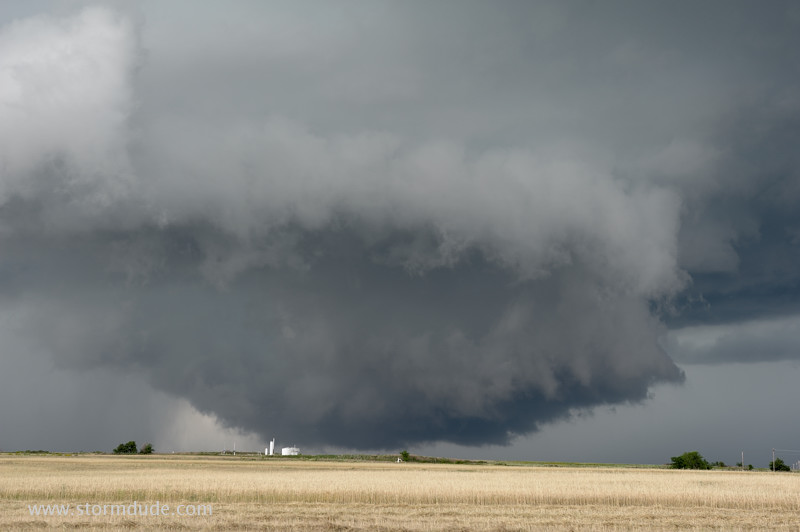
Wide-angle view of rain-wrapped wedge tornado. At this point I'm thinking that one storm like this makes the entire season worthwhile.
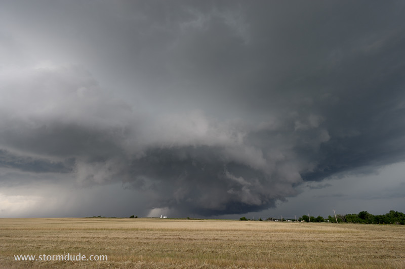
May 30th: Southern Oklahoma Wall Clouds
Supercell develops near Anadarko, 40 miles southwest of Oklahoma City. It's a hot, humid afternoon with plenty of fuel for storms.
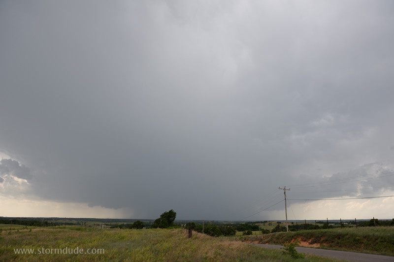
I set up near Rush Springs as another supercell strengthens to my west.
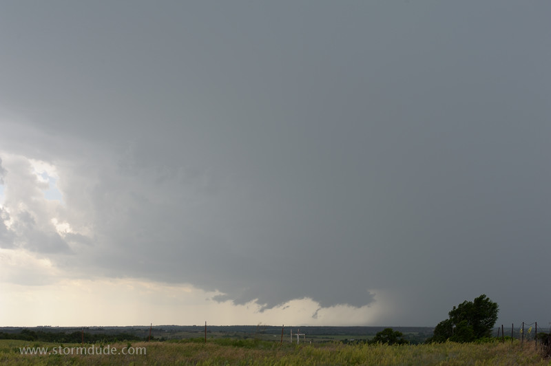
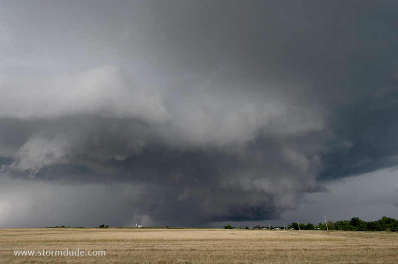
Threatening wall cloud, but outflow from the storm soon undercuts the updraft.
Ragged lowering is now cut off from the warm inflow into the storm.
Another wall cloud forms underneath a new updraft that formed further southeast, but it also is undercut. Weak surface winds and lack of low-level rotation are preventing the sustained updrafts necessary to form tornadoes.
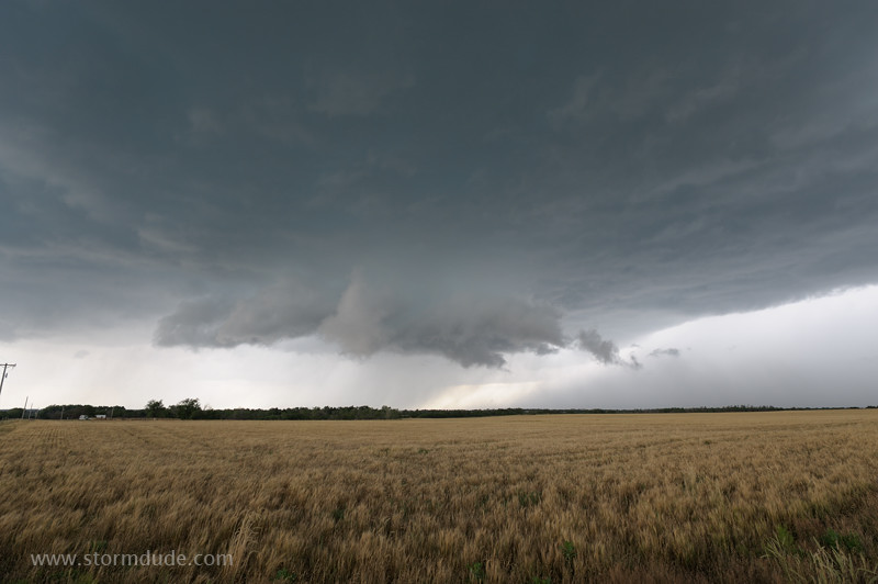
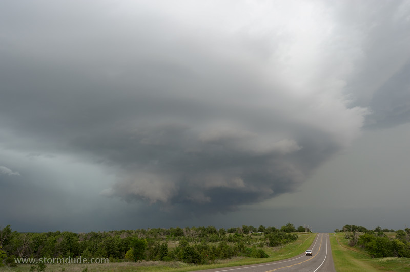
New wall cloud just west of Marlow.
Tornado sirens are going off, but outflow from the storm will once again interfere with the surface-based updraft.
Impressive structure on a day with an outbreak of benign wall clouds.
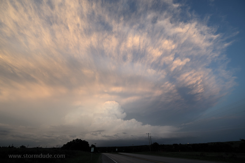
Cold air begins to destroy the wall cloud.
Another spectacle of nature.
New storm intensifies further north. It will soon be dark, so I let it go.
Behind the storm.