May 18th: Central Kansas Storm
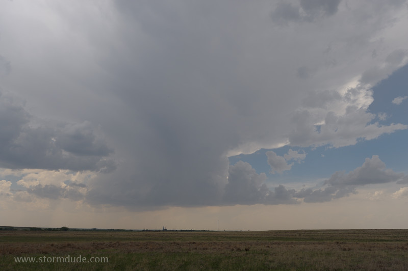
Developing storm east of Dighton, Kansas.
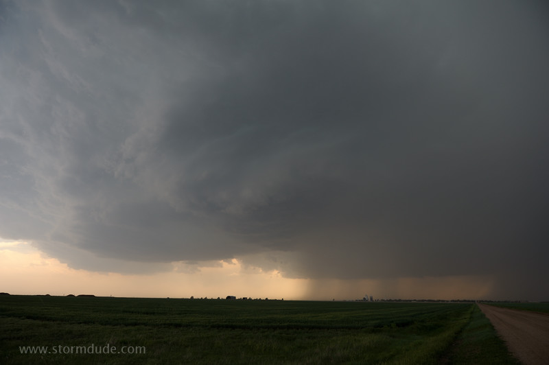
Storm stalls over the town of Ransom.
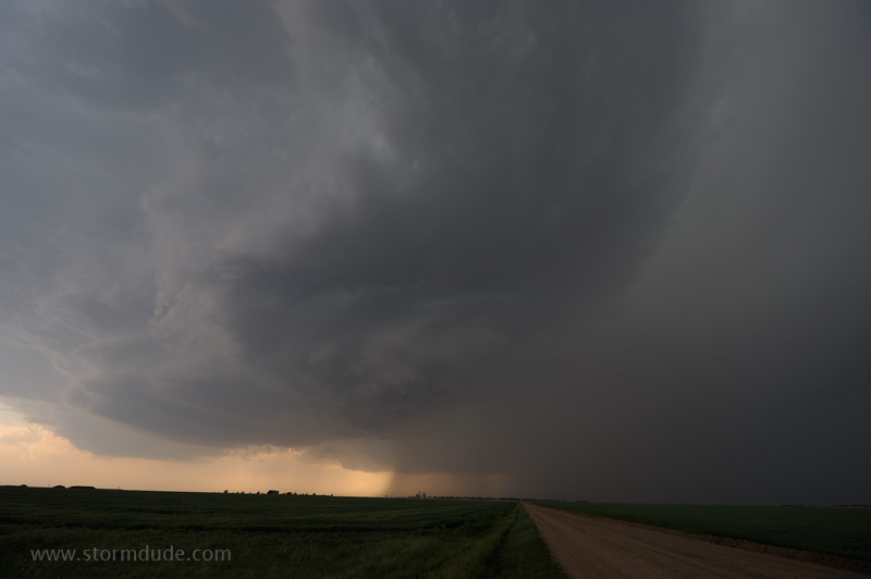
Convoluted updraft adds to the eerie character of the storm.
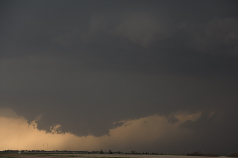
Ragged wall cloud forms beneath the updraft, but cool outflow soon takes over.
May 19th: Southern Kansas Storm
After skipping an intense storm because it was headed into the Wichita metro area, I intercept a developing squall line northeast of Wellington.
Breathtaking sight when you're up close.
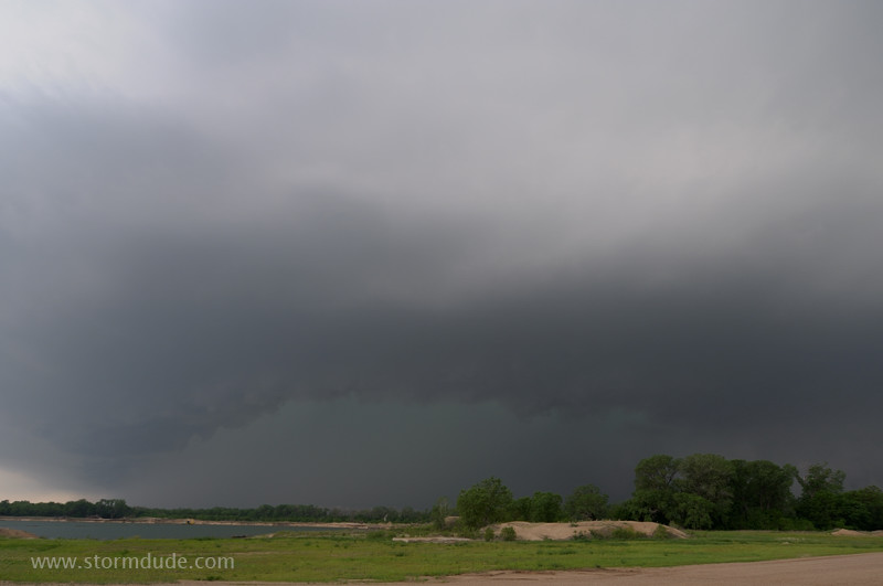
May 20th: Southern Oklahoma Storm
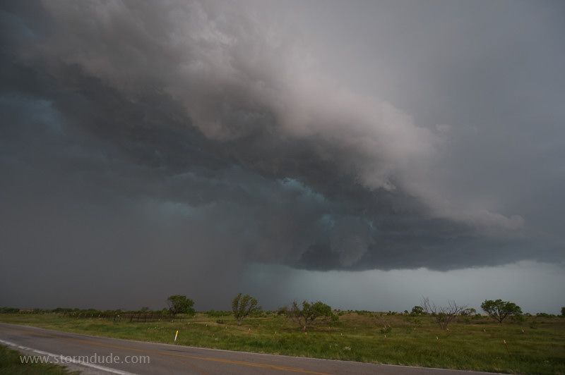
Wall cloud forms underneath severe storm in southern Oklahoma.
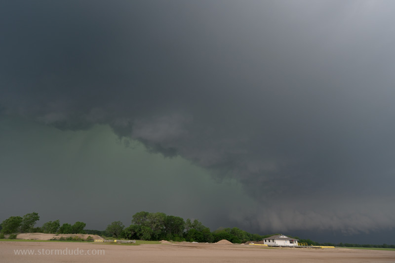
Gust front emerges from the rain core and undercuts the updraft.
At the leading edge of the outflow-dominated storm.
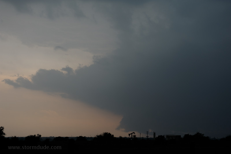
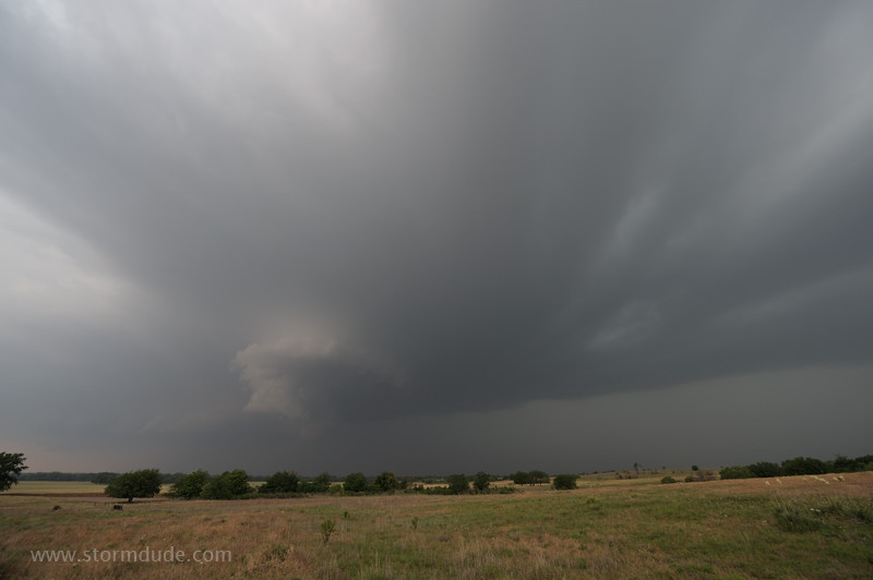
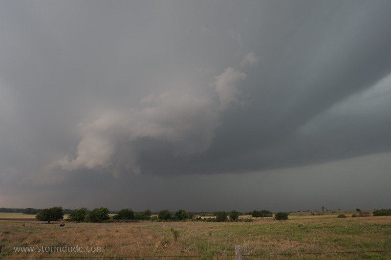
Red River interferes with my intercept of the next storm to the south, but after detouring to I-35 and back west (in northern Texas), this wall cloud comes into view. Dramatic but non-threatening at this point.
May 23rd: West Texas Storm
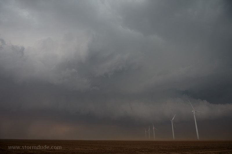
Dusty, messy thunderstorm near Dickens, Texas.
May 25th: Northwest Kansas Thunderstorm
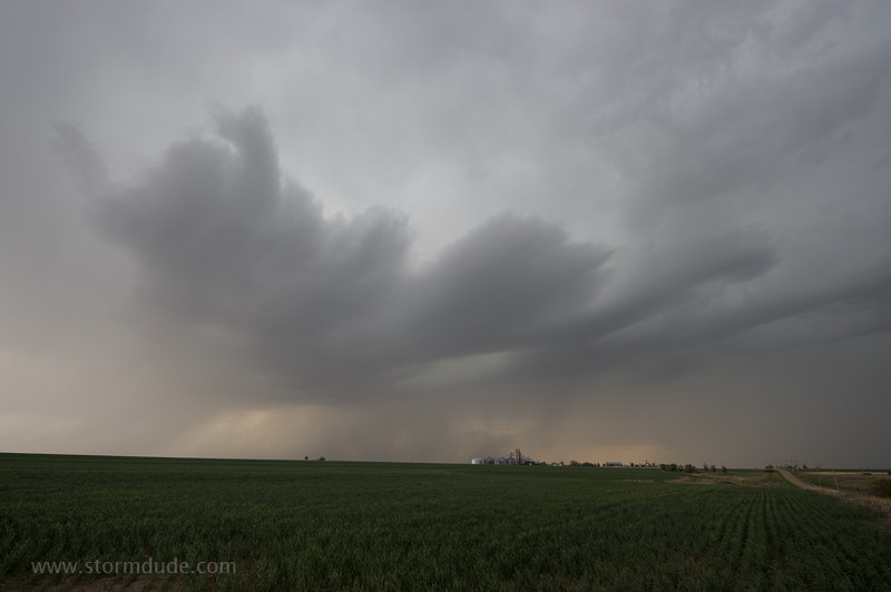
High-based thunderstorm over a farm near Atwood, Kansas.
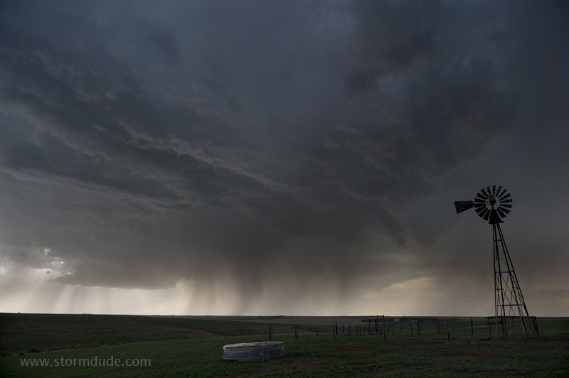
Ragged base of storm.
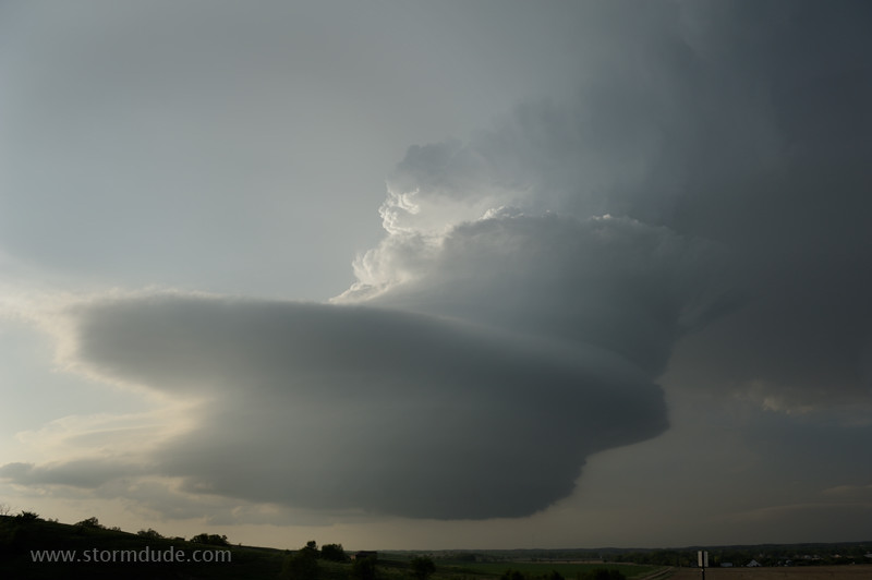
May 26th: Central Nebraska LP Supercell
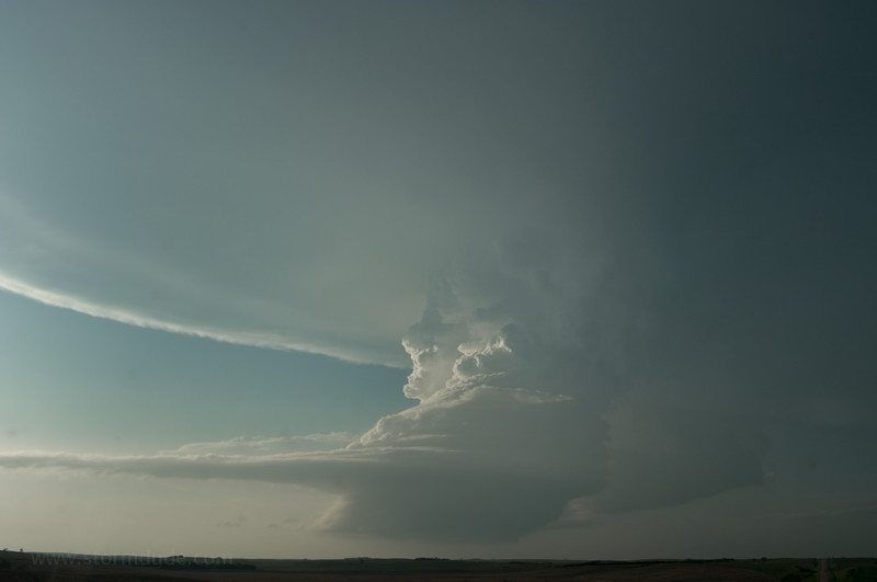
Explosive convective tower goes up near the town of Ansley on a hot, humid, breezy evening
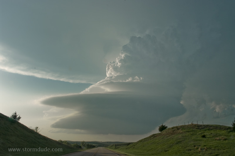
Tightly wound updraft is a remarkable sight.
The storm didn't form until near dusk so viewing time is limited.