March 29th: West Texas Storm
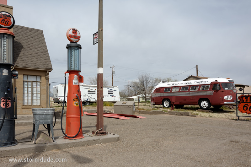
A new season of storm photography begins in Turkey, Texas, home town of Bob Wills ("King of Western Swing").
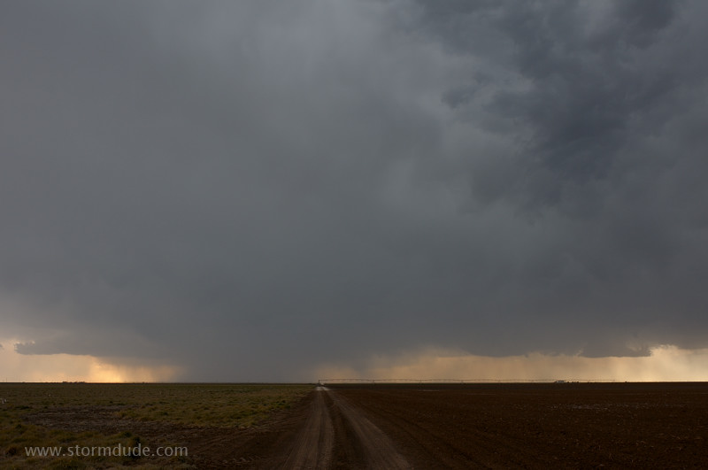
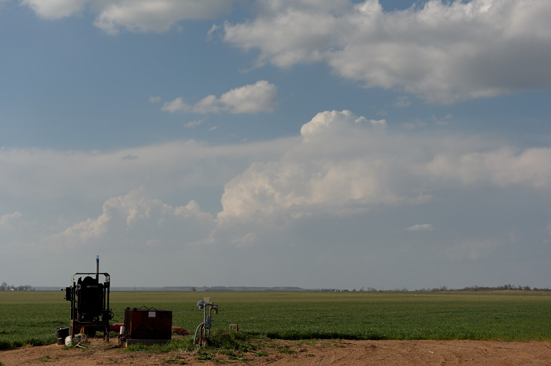
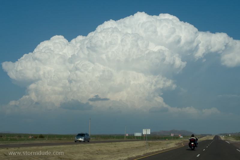
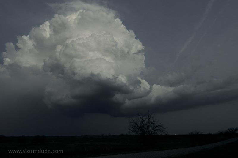
Later that afternoon, a storm develops in Floyd County, thirty miles northeast of Lubbock.
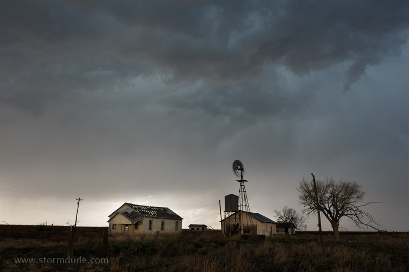
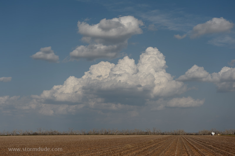
Nothing too severe, but a good backdrop for these abandoned ranch buildings.
The storm moves slowly southeast.
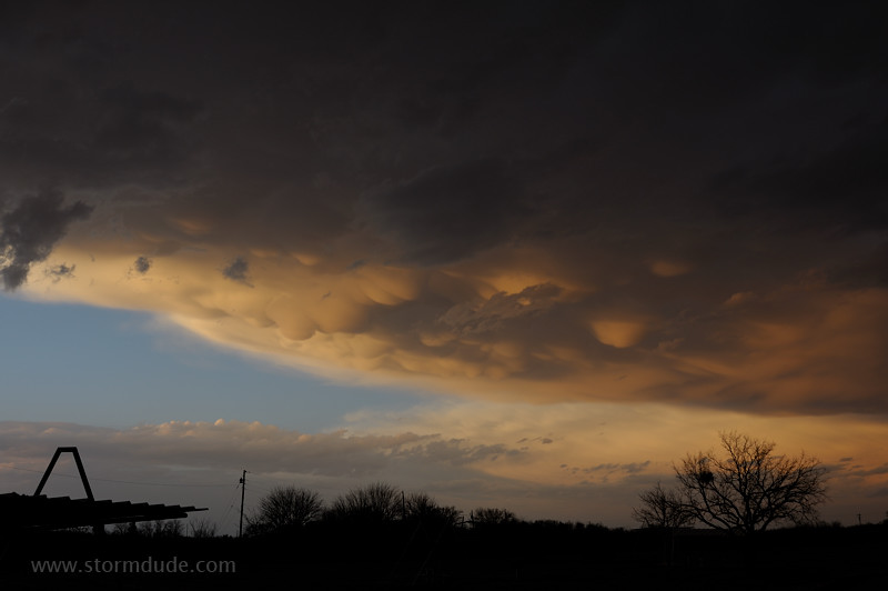
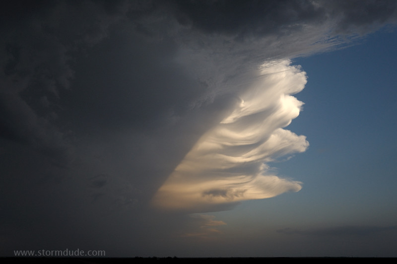
Mammatus at sunset.
March 30th: Southern Oklahoma Storm
Weak cold front comes to life in western Oklahoma.
I'm also keeping an eye on a cluster of convective clouds to my east (weak wind fields but more moisture and instability than the cold front).
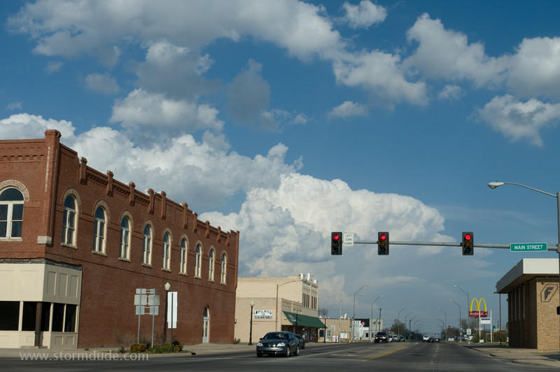
Convection along the cold front fizzles as a storm develops to the east. View from downtown Altus.
The magic of Oklahoma in the spring.
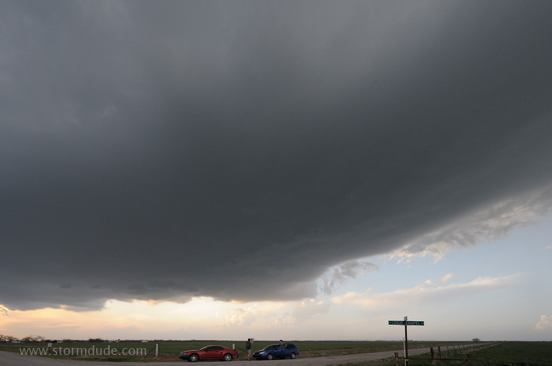
Storm chasers under an updraft southwest of Lawton.
The main storm continues southeast.
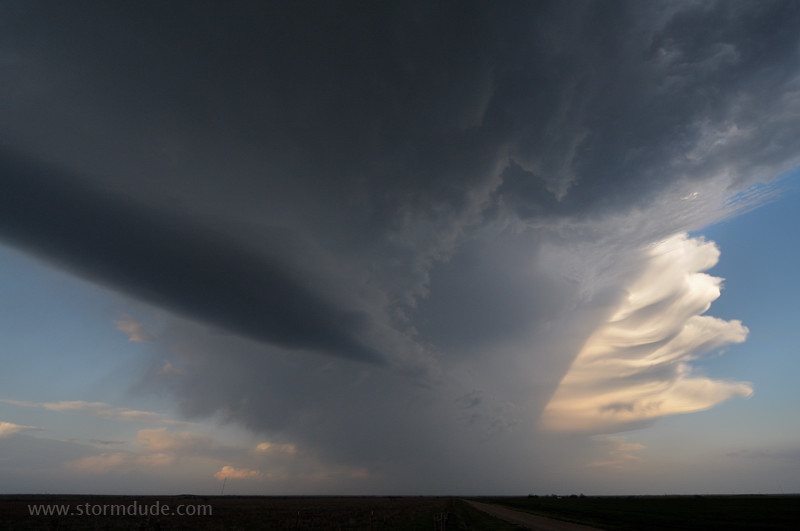
One storm blocks light to another, a Great Plains version of the light and shadows of the High Sierras.
A long-exposure photo, taken well after sunset, shows a dying storm.
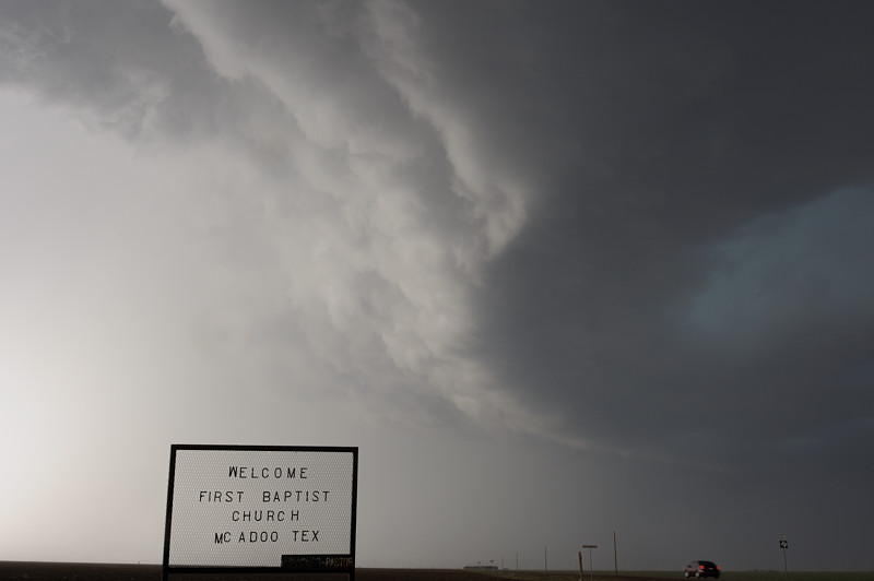
April 1st: Caprock Storms (Texas)
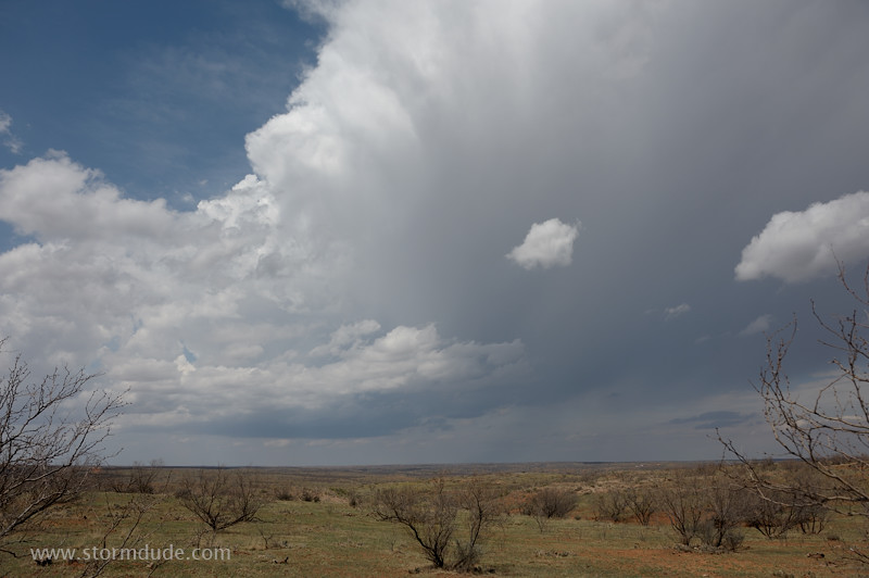
Early afternoon thundershower near Turkey, Texas. Mild temperatures and limited moisture, but more convergence along the cold front than two days ago.
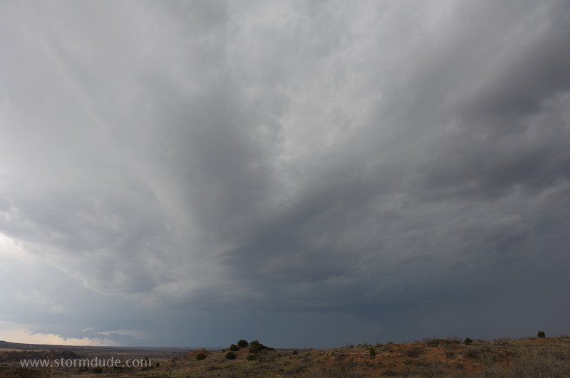
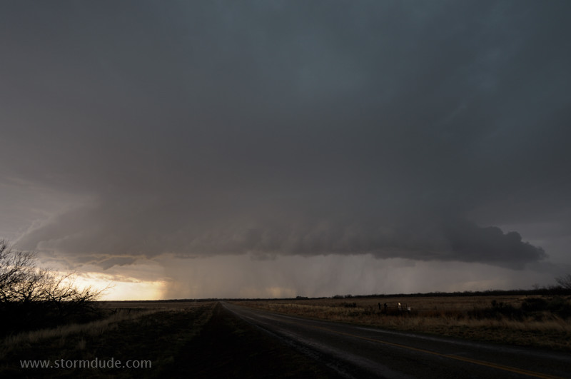
More substantial storms develop later that afternoon from Silverton to Childress.
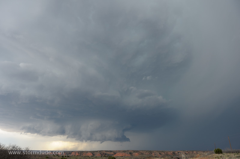
Wall cloud forms between Turkey and Northfield.
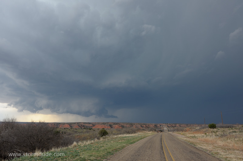
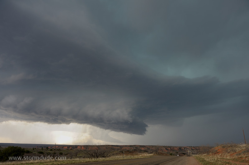
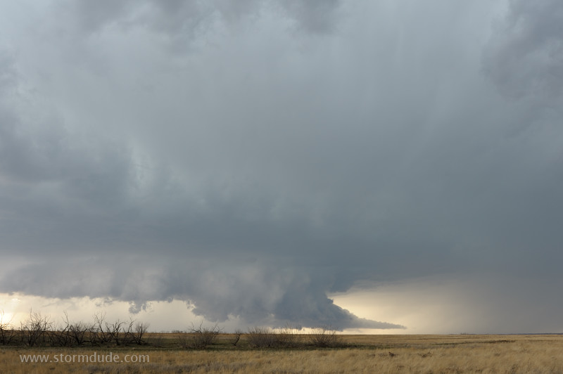
Beautiful storm structure over the caprock escarpment
Perfect view of a caprock supercell.
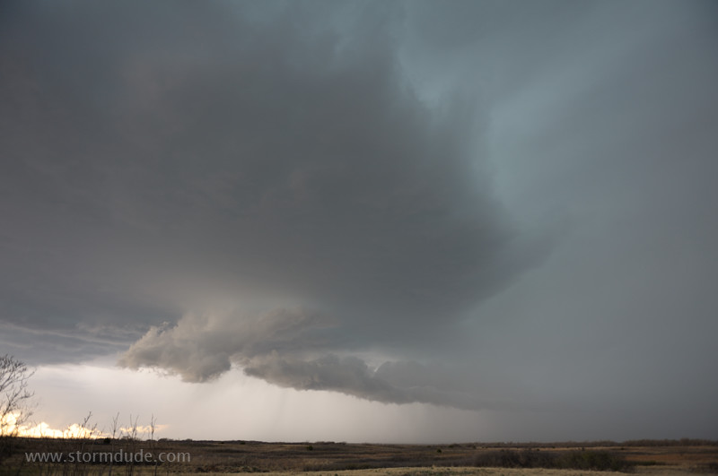
This weak mesocyclone developed as the storm made a sharp right turn, enhancing inflow.
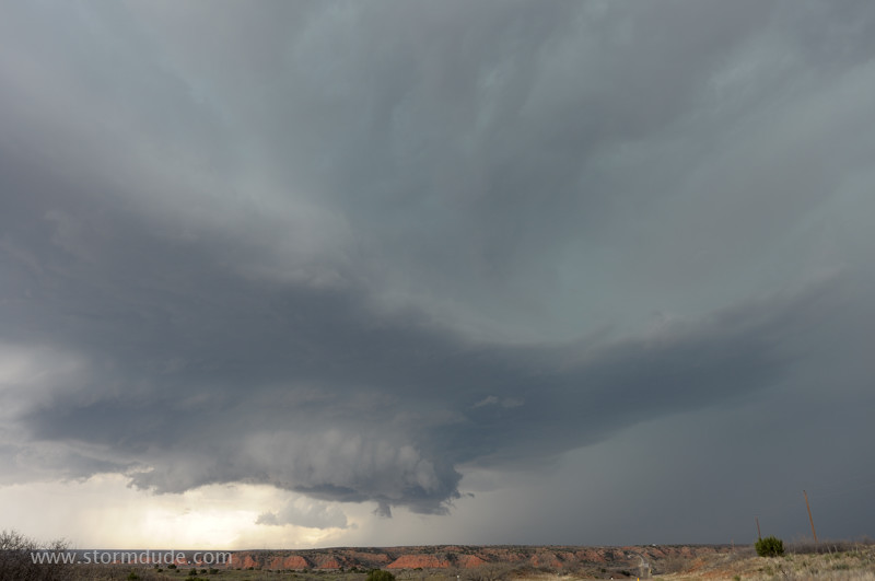
Storm spotter moves in for a closer look.
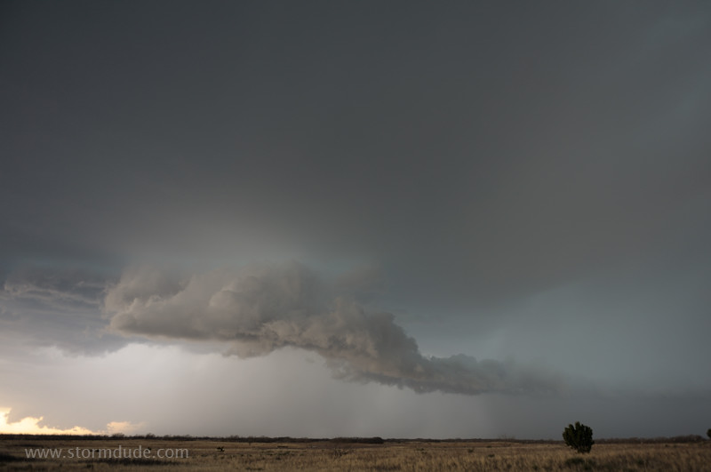
One last look before outflow takes over.
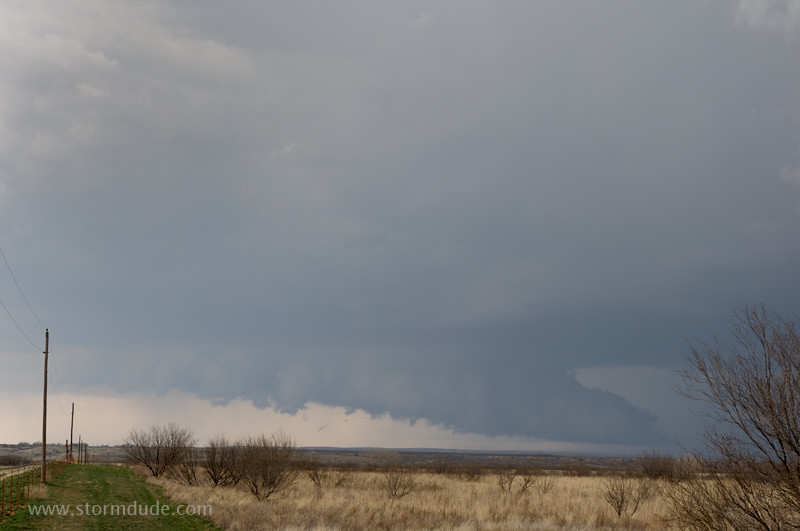
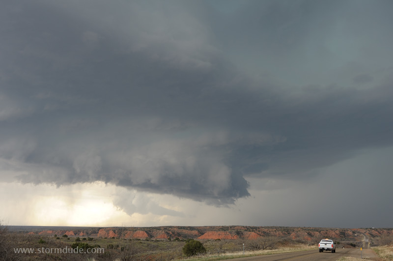
Cloudburst as the storm accelerates south along the caprock escarpment.
View looking west from Highway 83.
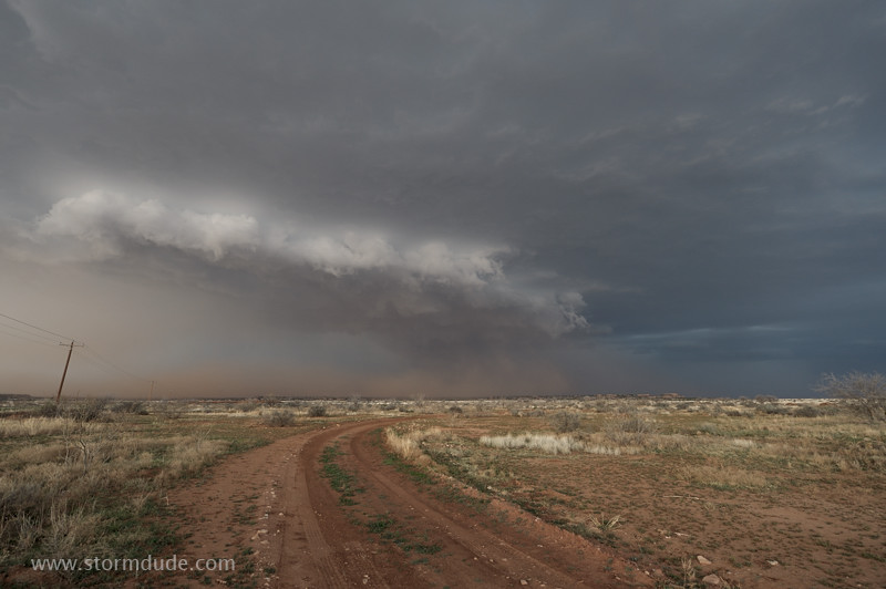
Strong surface winds rush southward out of the line of storms.
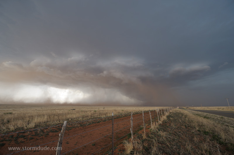
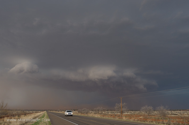
Ragged wall cloud a few miles west of Highway 83, near Paducah.
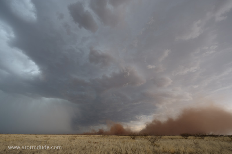
Dust storm erupts just east of the Highway. This shot is from a couple of miles west of Highway 83, so I need to drive into the growing dust storm to head south and out of it.
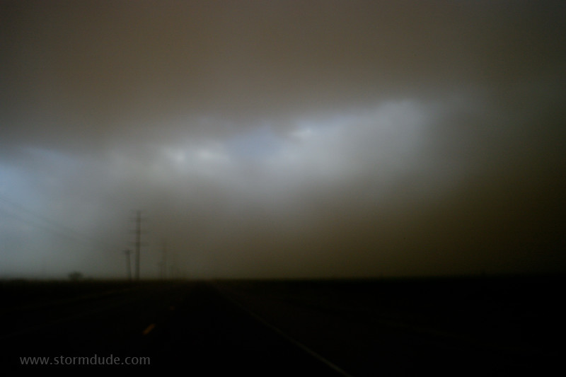
Eerie feeling of driving in a dust storm.
After escaping, looking back north.
Storm is still showing some structure, although the gust front extends well ahead of the storm.
Last view as sunset approaches. A very scenic day of storm watching in one of the most beautiful parts of Texas.