April 7th: Central Kansas Storm
Marginally severe thunderstorm near La Crosse, Kansas.
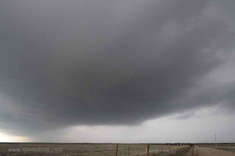
Storm chasers head east on a farm road to keep up with the main updraft.
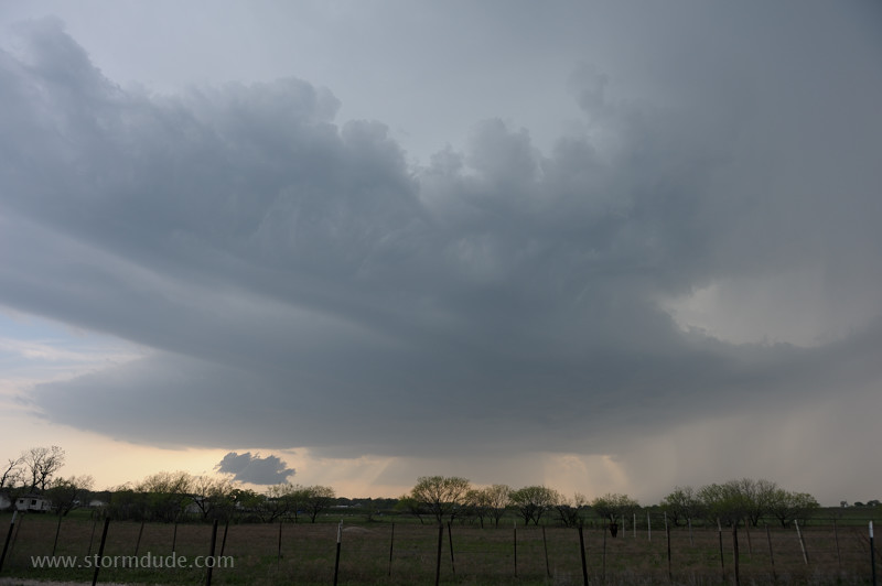
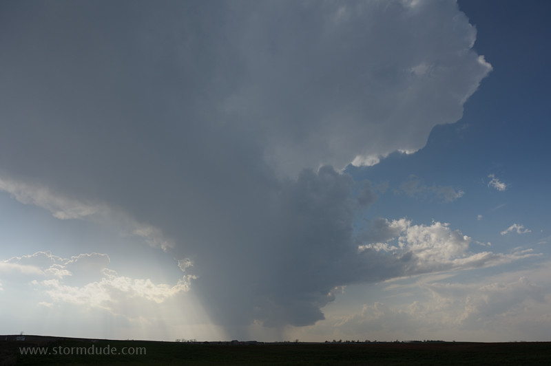
Storm moves east-southeast over a farm near the town of Timken.
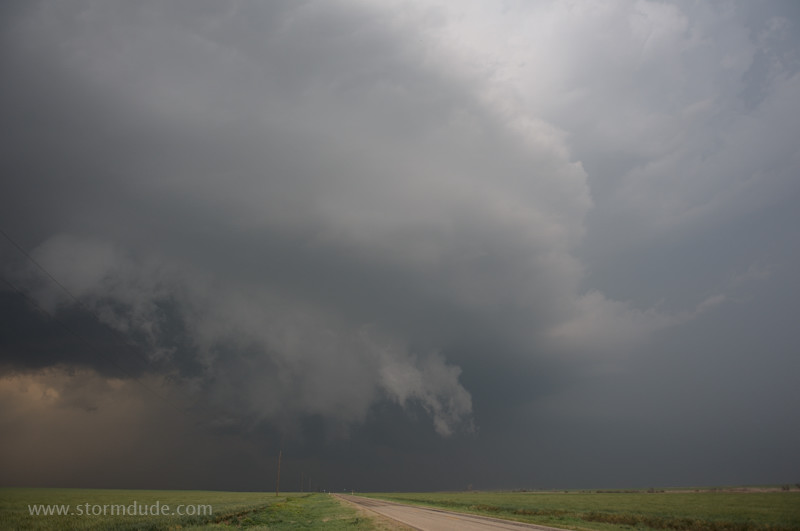
As the gust front slowly sweeps out from the rain core and southward, a small wall cloud develops.
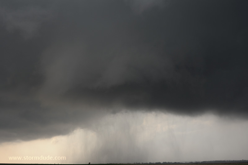
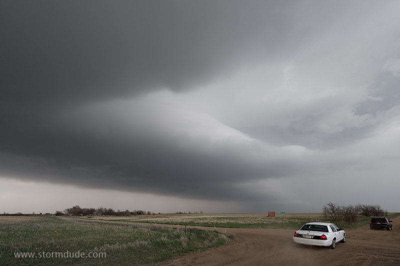
Some rotation but cool air soon undercuts the updraft and the wall cloud dissipates. In this situation, a gust-front induced spin-up ("gustnado") can be incorrectly reported as a tornado.
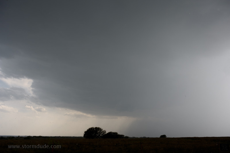
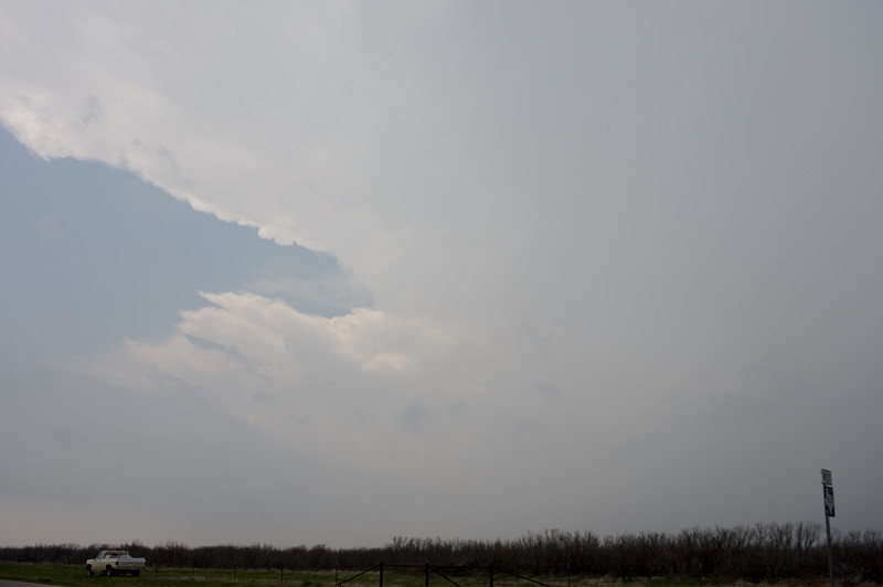
View from behind the storm as it continues southeast.
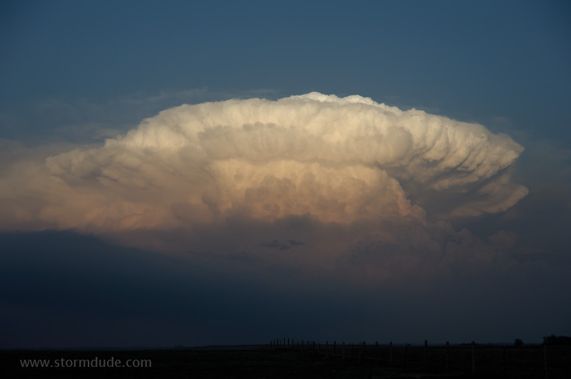
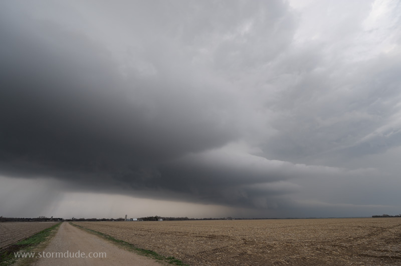
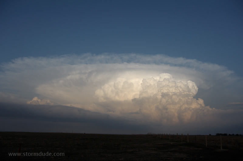
Updraft re-intensifies at sunset.
April 9th: Northwest Texas Storm
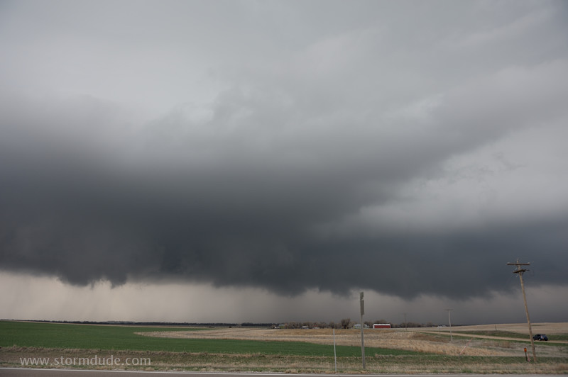
Rapidly moving cold front triggers deep convection southwest of Vernon, but then repeatedly undercuts the updraft.
Hail storm eventually develops behind the front and moves from Throckmorton to Archer County.
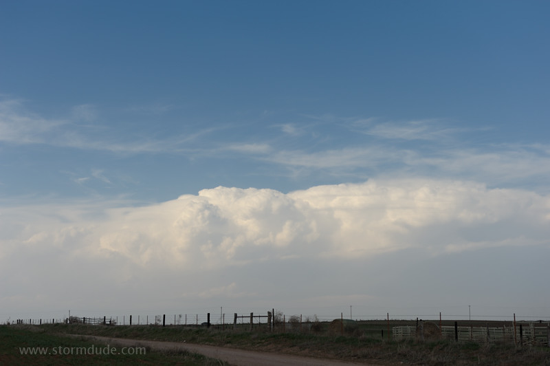
April 14th: Northwest Oklahoma Thunderstorm
With limited moisture and weak winds aloft, a garden-variety thunderstorm develops south of Enid.
Cloudburst from the high-based storm.
At sunset near Perkins, Oklahoma.
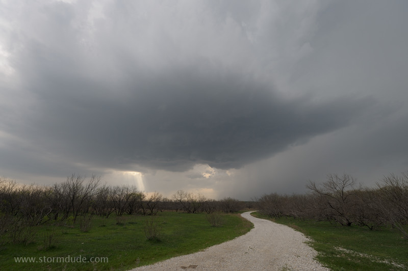
April 15th: Northwest Texas Supercell
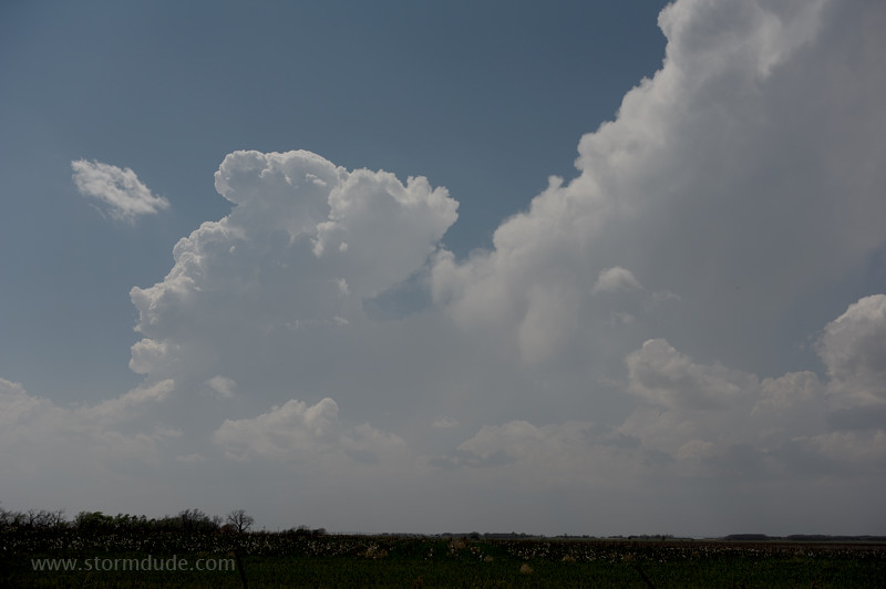
Storm develops along the dryline on a warm, humid afternoon.
Golf-ball size hail falls from this cell southwest of Bowie, Texas.
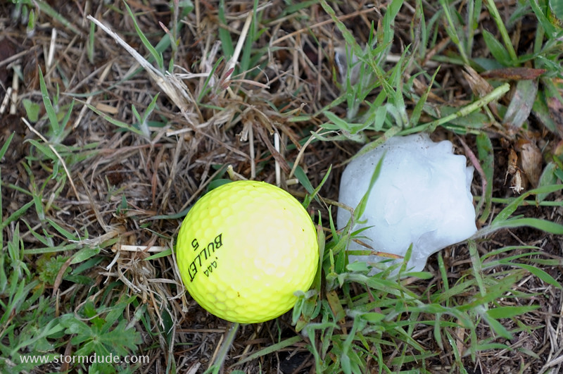
Why it's called golf-ball size hail.
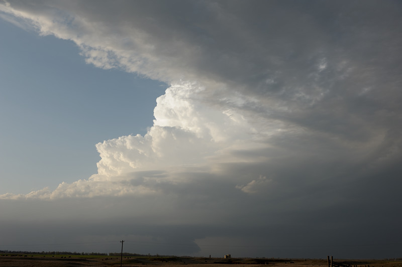
Back on the dryline, a new storm forms.
Scenic high-based storm over northwest Texas.
April 17th: Southwest Oklahoma and Red River Supercells
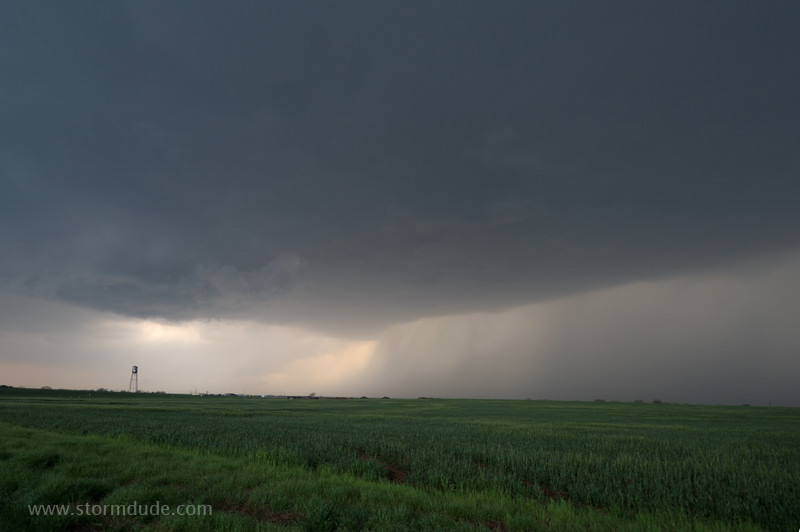
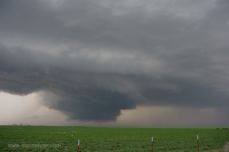
Strong convection southwest of Vernon, Texas.
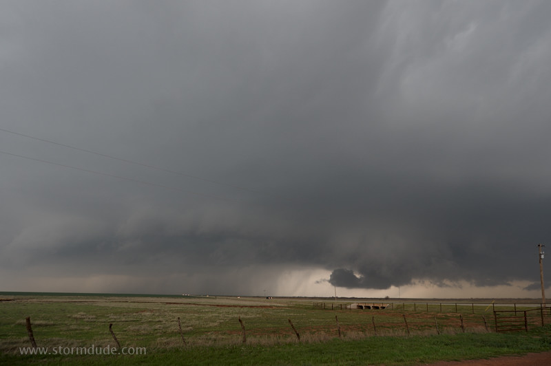
Messy HP Supercell (High Precipitation) near Frederick, Oklahoma.
Storm moves quickly northeast and attracts a crowd of storm chasers, thrill seekers, storm tourists, media chasers, wannabes, yahoos and locals.
I abandon the overcrowded storm and intercept another supercell near Frederick.
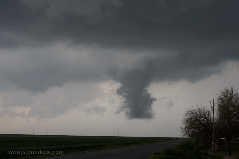
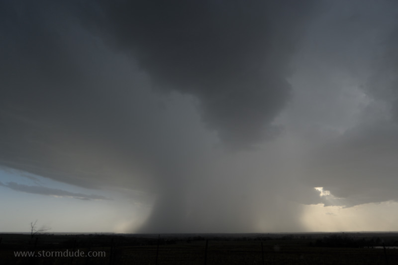
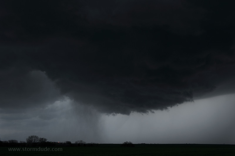
Column of scud that could be misinterpreted as a forming tornado.
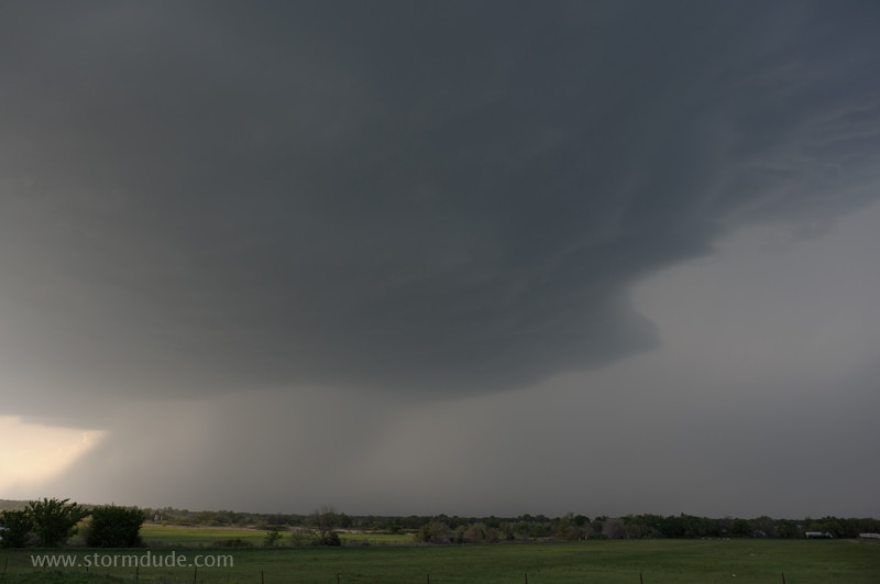
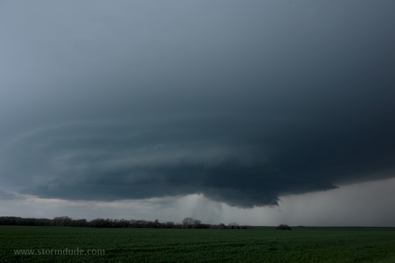
Final supercell intercept just south of the Red River near the town of Oklaunion.
The storm quickly strengthens as it crosses the Red River at sunset.
April 22nd: Northern Oklahoma Storm
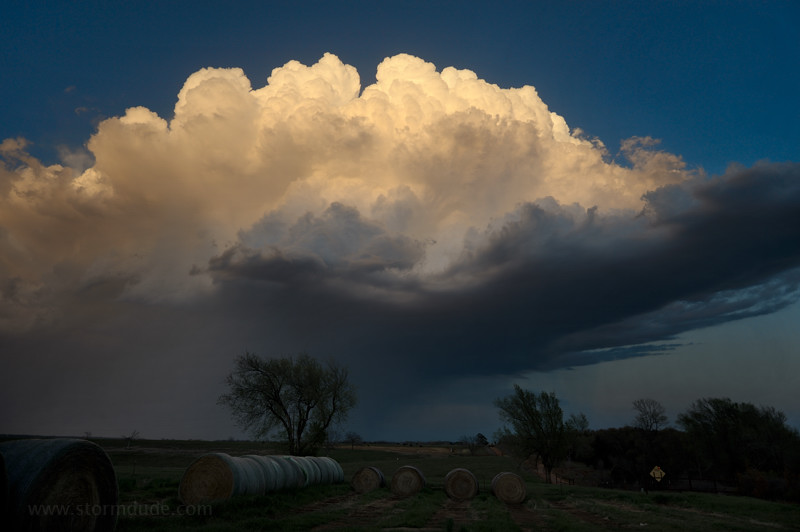
Convective tower over Woodward, Oklahoma. Bubbling cumulus in the background is near a dryline in far western Oklahoma.
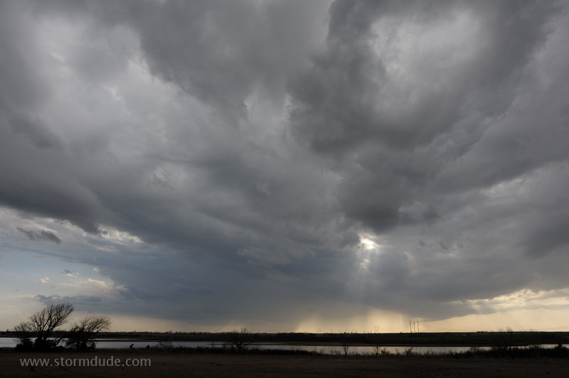
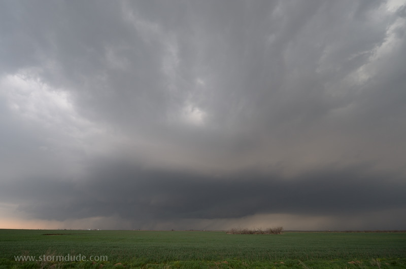
Cold front near the Kansas border has stronger convection but seems likely to become a squall line.
Dryline storms fail to develop so Pam and I drive north to intercept a new cell at the western end of the line of frontal convection.
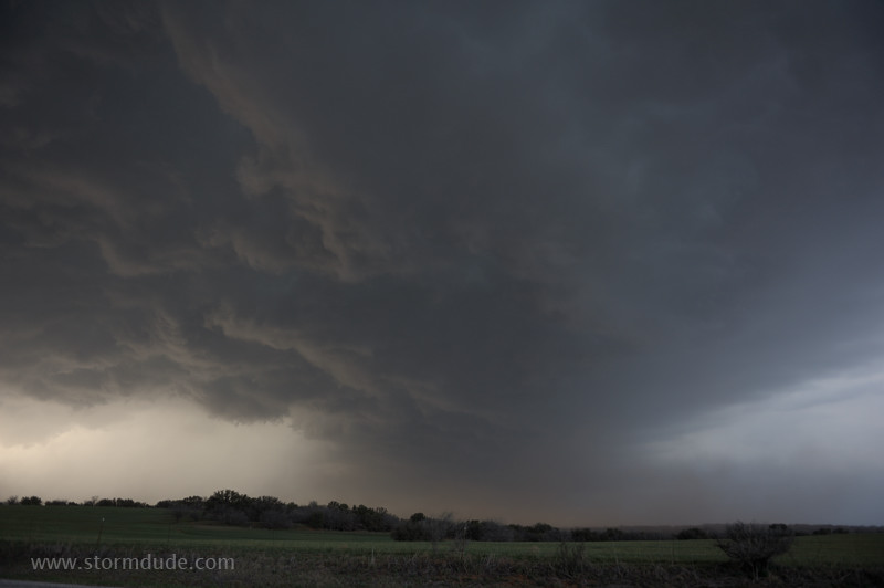
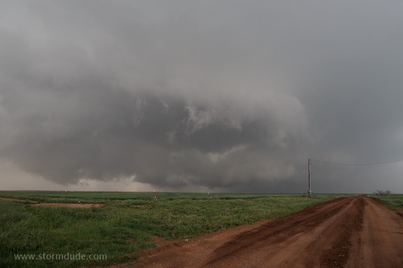
We're rewarded with a beautiful wall cloud over a farm southeast of Alva, Oklahoma.
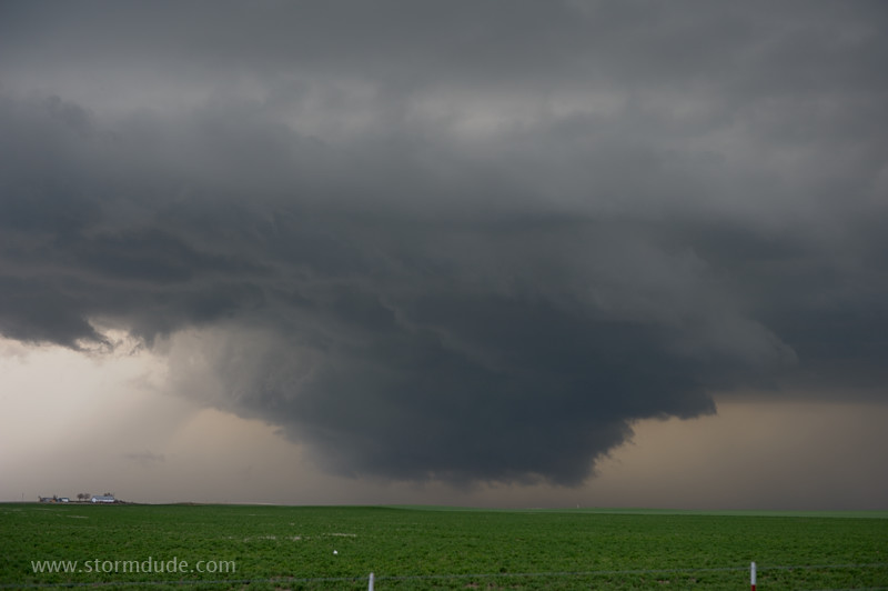
Wedge tornado descending to the ground? No, just a non-threatening, non-rotating wall cloud on a day with little CAPE and weak shear. (CAPE is Convective Available Potential Energy, a measure of the atmospheric fuel for severe thunderstorms that results from warm humid air at the surface and cold air above it.)
Still an awesome sight as daylight fades.
Last view before we head back to Oklahoma City.