April 9th: Woodward, Oklahoma Supercell
Target today is just east of the Texas state line in northwest Oklahoma. By mid-afternoon, the atmosphere becomes ripe for storm development.
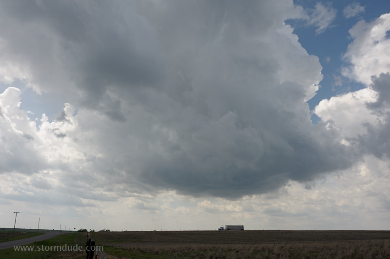
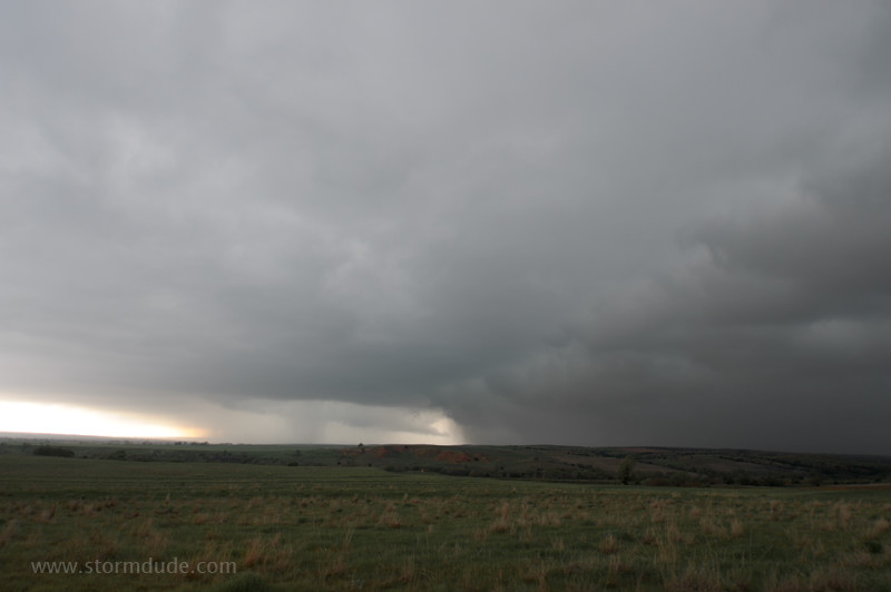
A thundershower develops just a couple of miles to my west. This will become the dominant storm of the day. (That's a cattle truck driving south on Highway 283.)
Initial deep convection is at the best moisture convergence twenty miles to my north. Modest moisture, instability and shear today, but a balance in parameters often leads to severe thunderstorms.
The southern cell is moving east at about 30 mph, directly towards Woodward, Oklahoma, the largest town in the northwest part of the state.
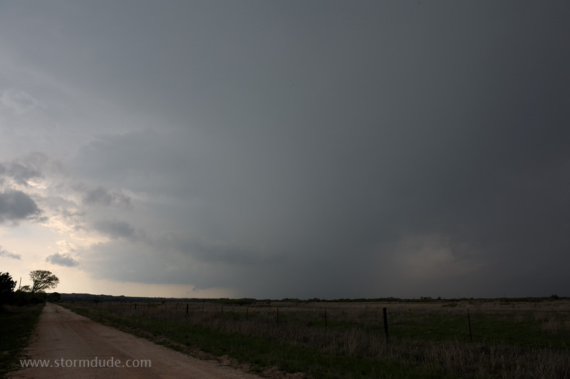
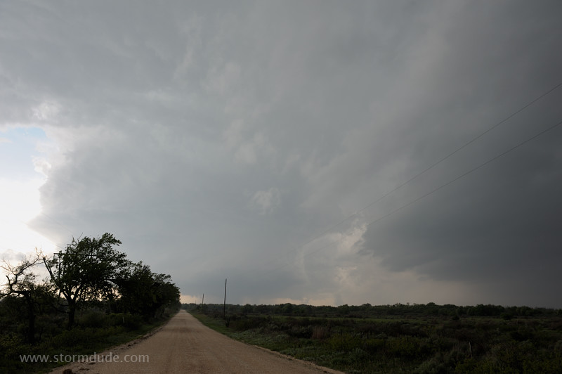
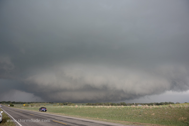
Eight miles east of Woodward provides a good vantage point, as well as a southern road option. At this point, the storm is still moving east, although with weak west-northwest flow aloft, I'm expecting the storm to turn right at some point.
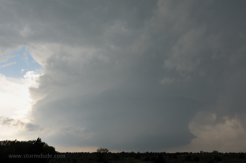
Wall cloud forms.
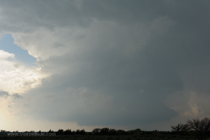
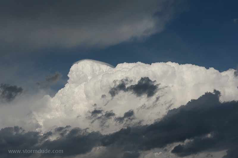
After nearly merging with the cell to the north, the storm separates into an LP Supercell.
Wide-angle view.
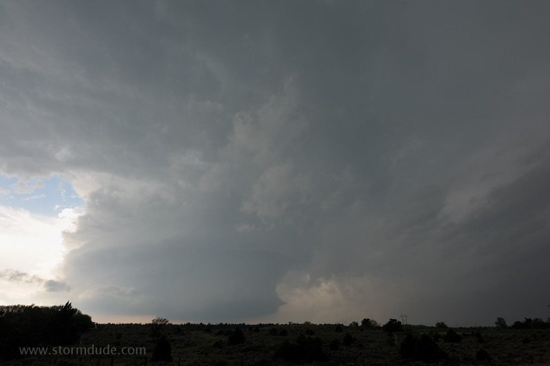
Strong rotation is clearly visible in this powerful updraft. The storm is pounding Woodward with baseball-size hail (and some larger).
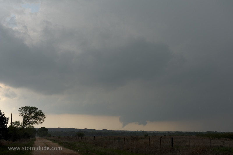
The storm makes a hard right turn and begins moving south-southeast. The sudden turn enhances inflow and results in brief tornadoes, uncommon in a supercell with northwest flow aloft.
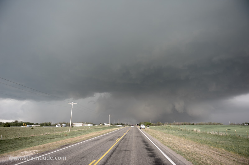
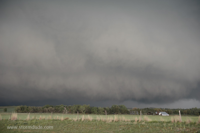
Back in front of the storm, just north of the town of Sharon.
The intense supercell moves south-southeast by Highway 34.
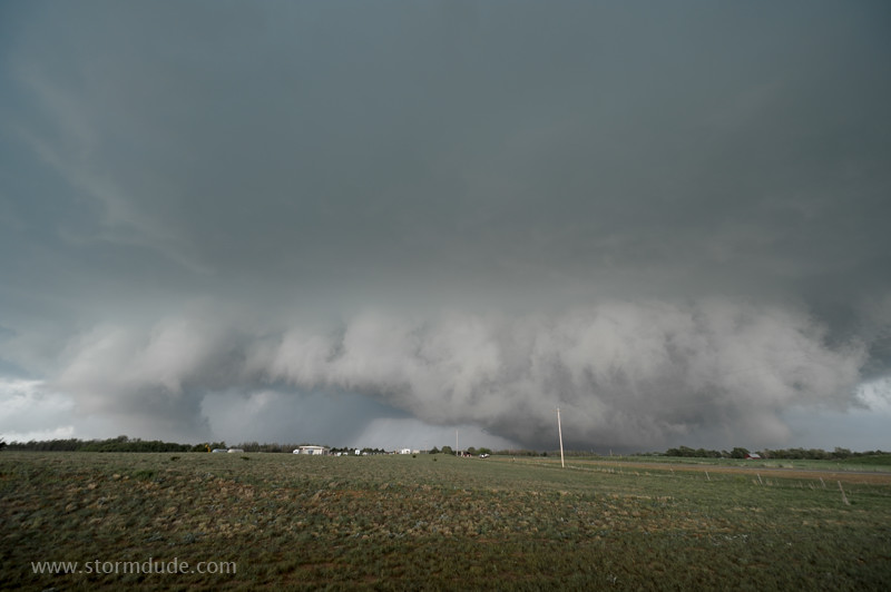
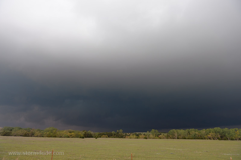
Large low-hanging cloud with strong rotation.
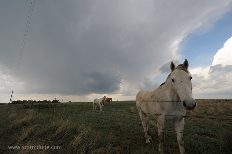
The storm just misses this farm along the highway
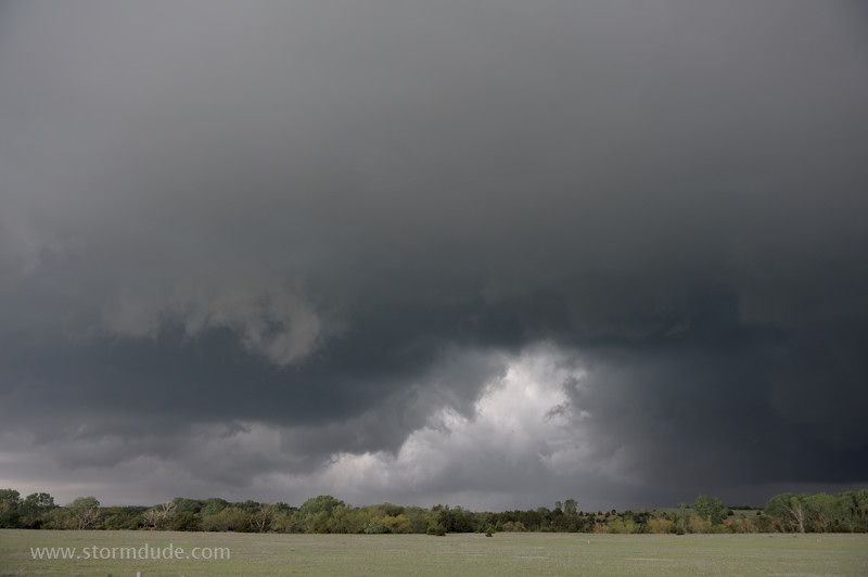
It soon transitions to an outflow-dominated HP mess.
Nothing but cold northeast winds.
Storm gusts out and weakens. In a supercell with erratic movement, I'm glad to have captured some of its stunning features without getting caught in the huge hail.
April 10: Texas Panhandle Storm
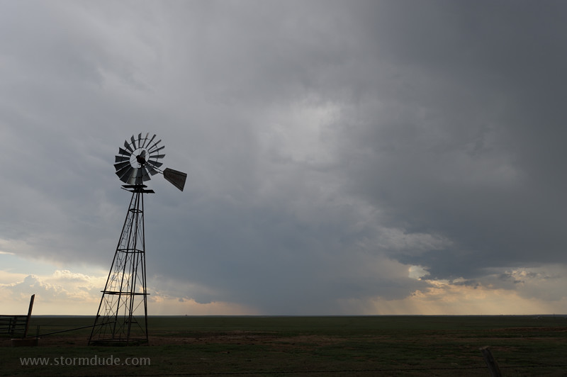
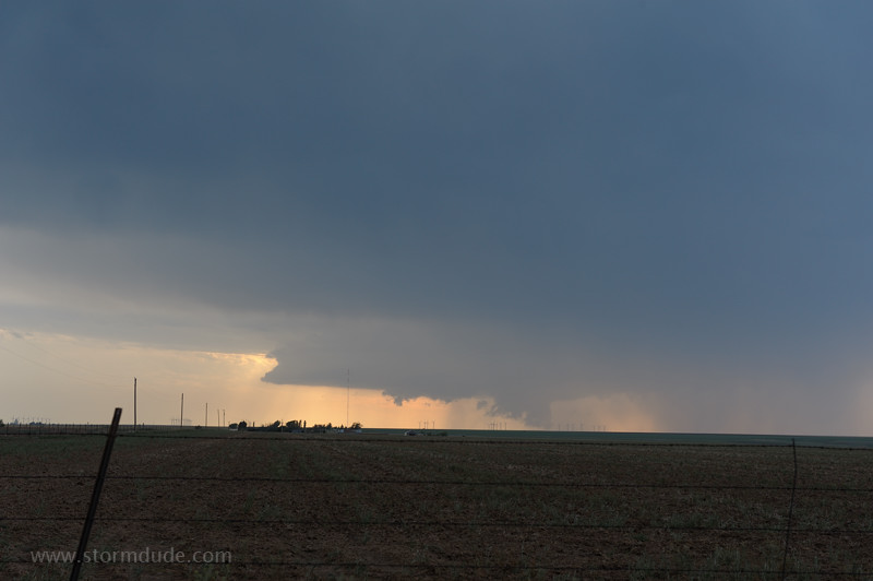
Marginal conditions today, but I find a scenic thunderstorm northeast of Amarillo to watch for the evening.
An hour later, as the evening wears on. The storm has been nearly stationary.
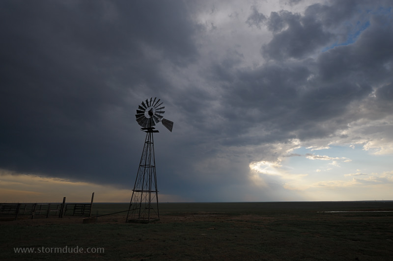
The storm begins to strengthen so I head west for a closer look.
Wall cloud north of the town of Panhandle.
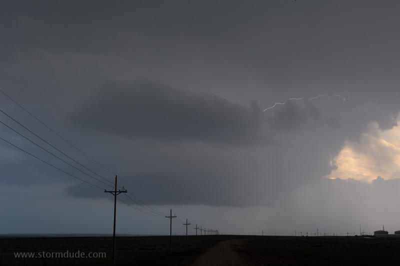
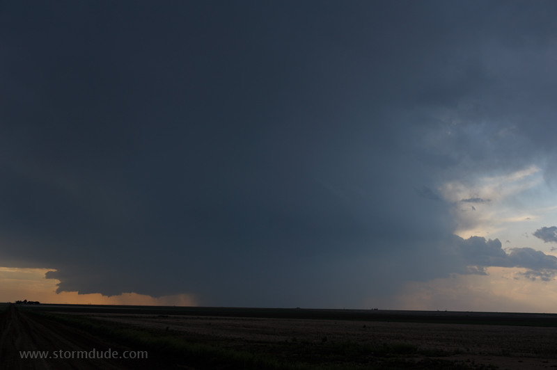
Close view of the storm from Highway 136 north of Amarillo at dusk.
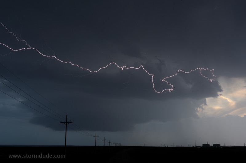
Front-row seat to a vivid lightning display in this small storm.