May 24: Nebraska Panhandle Supercell
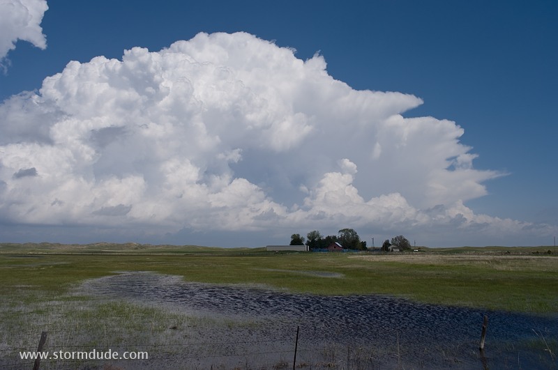
Late morning storm develops near Alliance, Nebraska. This races north into South Dakota while I decide to stay in the Nebraska panhandle and let the storms come to me.
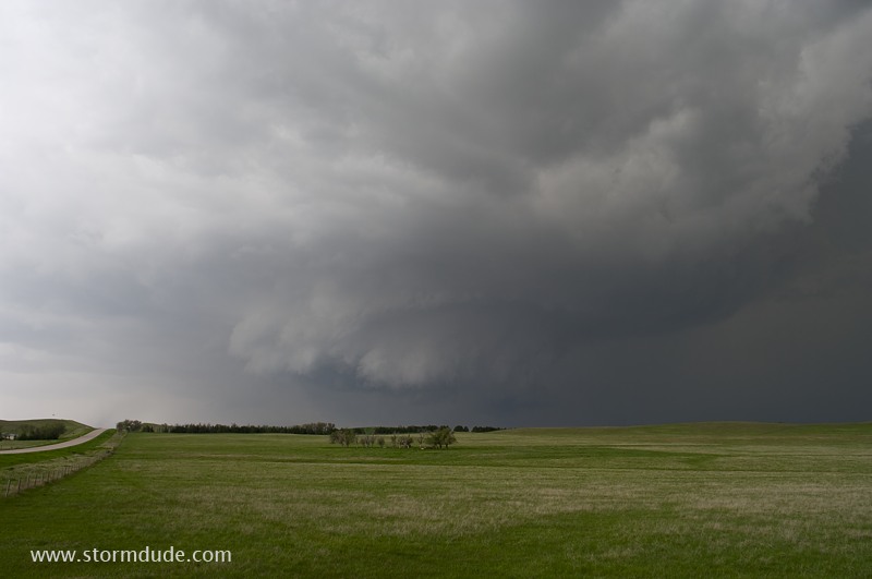
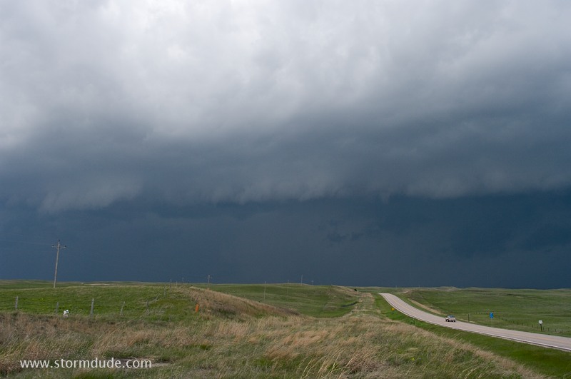
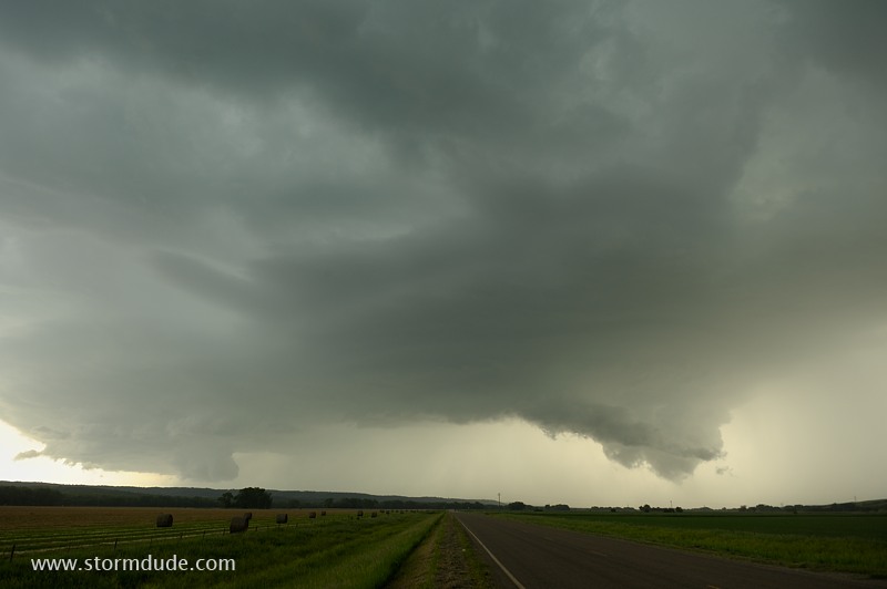
Strong storm approaches from the south but soon becomes outflow-dominant.
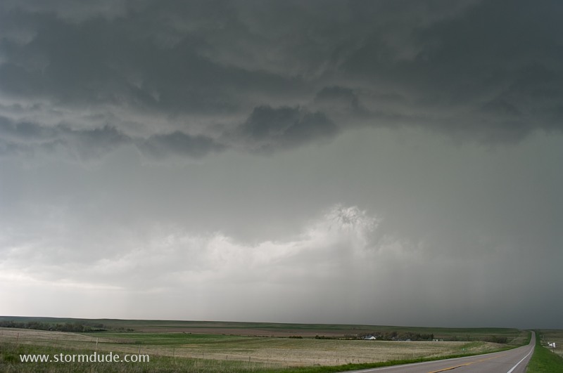
In front of another storm.
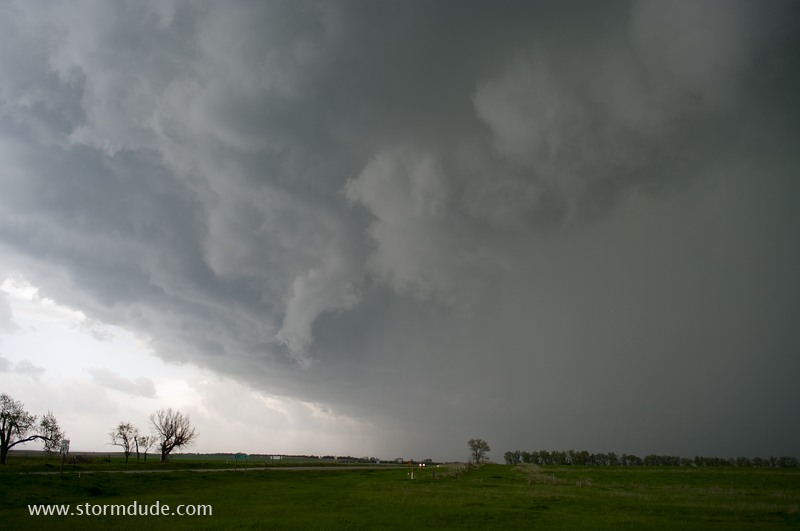
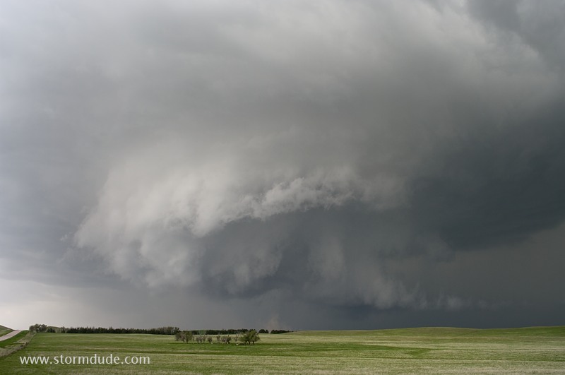
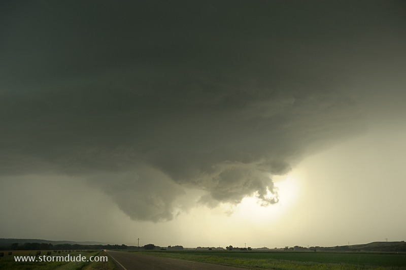
Rotating wall cloud parallels Highway 87 south of Hay Springs.
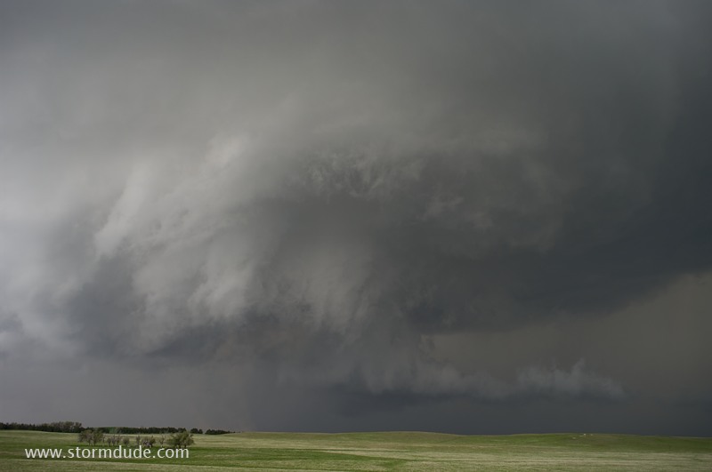
Classic wall cloud structure.
Dust swirl is on the ground underneath this magnificent wall cloud.
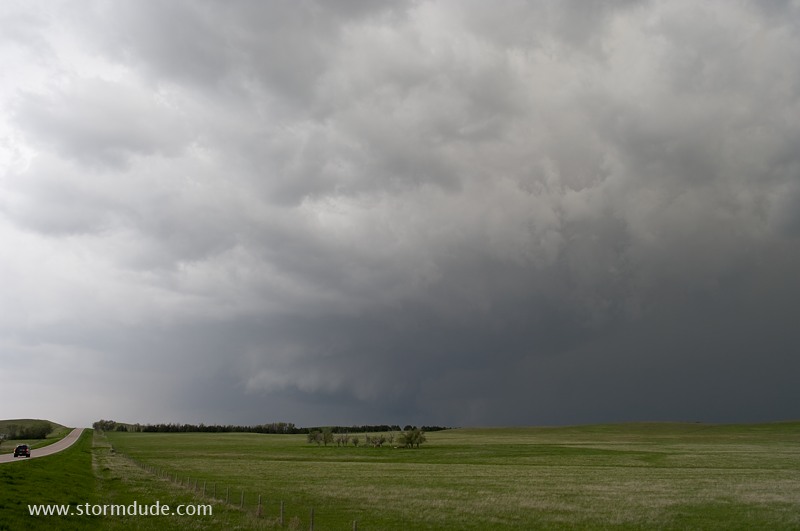
Rapid rotation but no visible tornado.
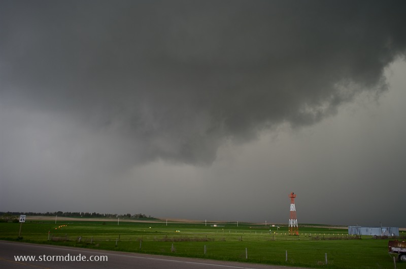
RFD wraps around wall cloud as sirens blare in Hay Springs.
Squall line develops, ending supercell opportunities in Nebraska.
June 3: Northeast Nebraska Storm
Thunderstorm develops near the South Dakota border, eighty miles west of Yankton. This cell soon weakens.
New storm strengthens slowly. Low CAPE and marginal shear will prevent a serious storm.
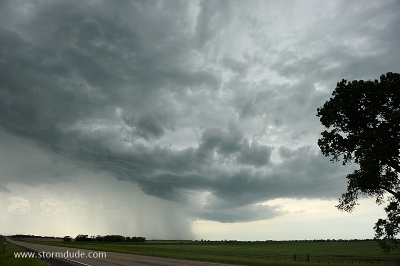
Cell approaches the Missouri River valley.
We find a remote road through the Yankton Indian Reservation, just north of the Missouri River, and stop to enjoy this view.
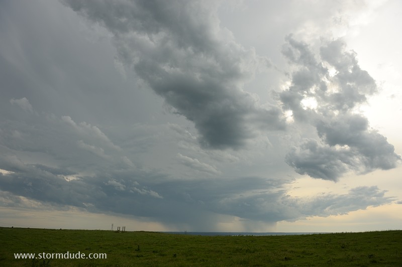
As the storm approaches us, two wall clouds form. Rotation is limited, however.
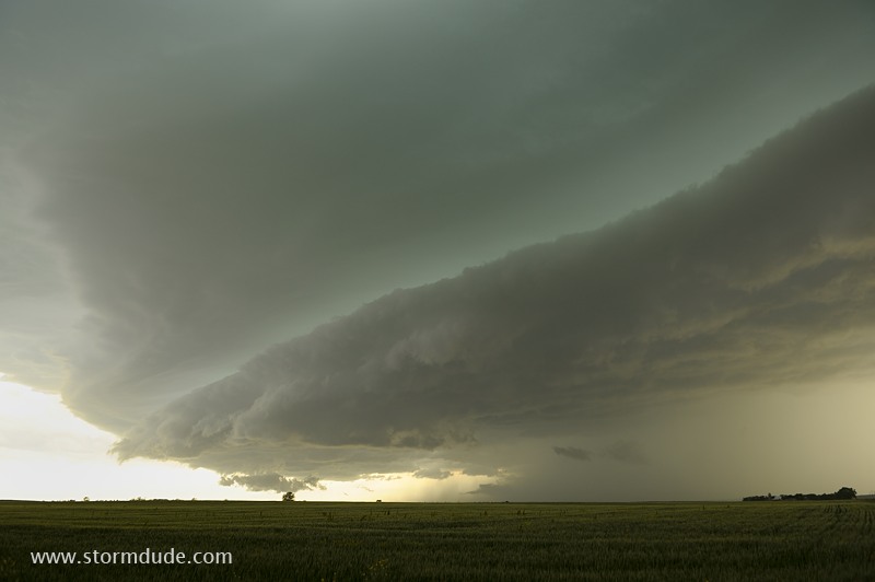
Outflow soon takes over, producing a scenic shelf cloud.

Shelf cloud over the rich farmland of the northern prairie.

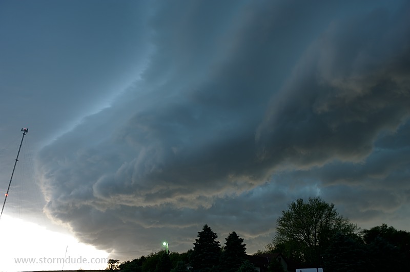
Looking north as the shelf cloud overtakes us.
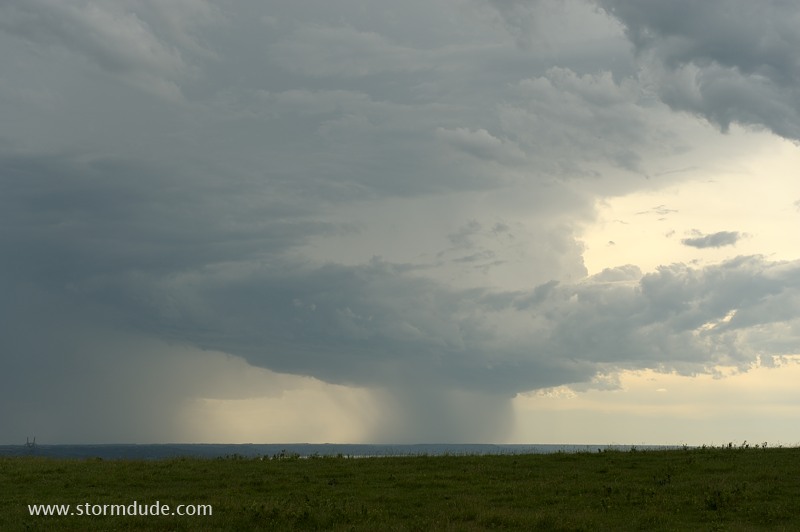
Final view before we give up on the weakening storm.