June 10: Last Chance Supercell and Tornadoes
Very unstable air mass is pushed up against the front range today. Strong storm is fifty miles east of Denver.
Narrow landspout in cell to my west-northwest, but real action will be further south.
Signs of rotation as I head to southern end of storm.
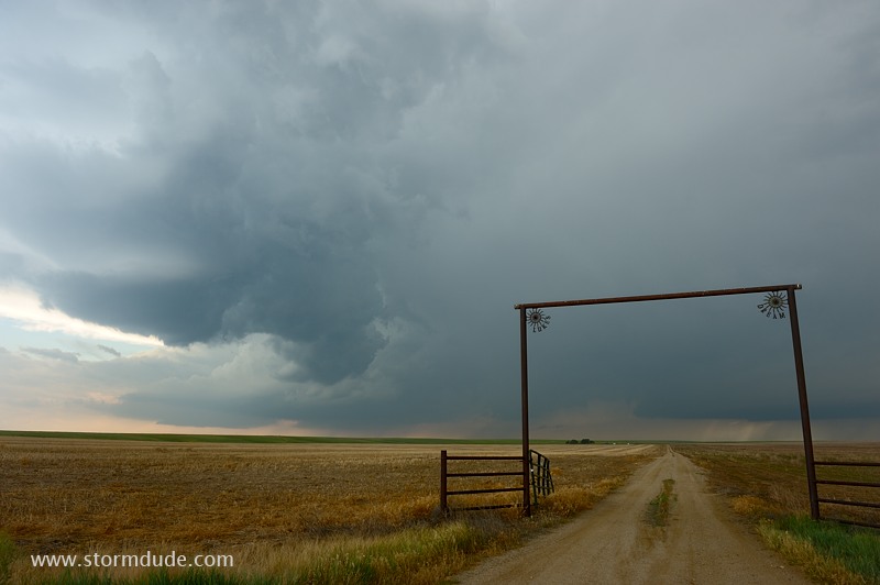
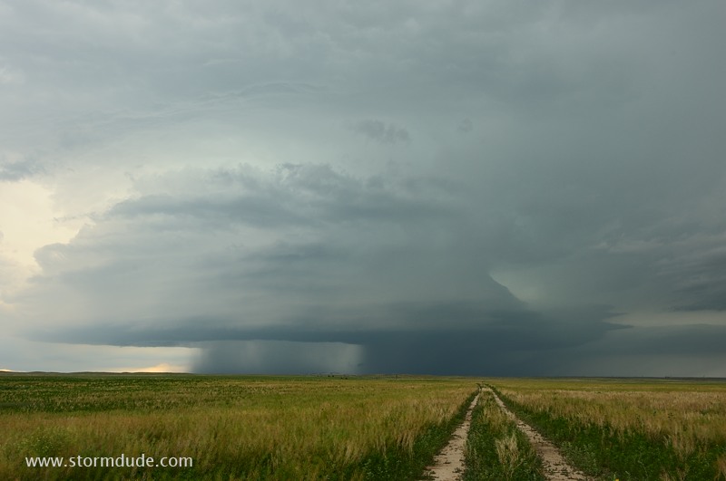
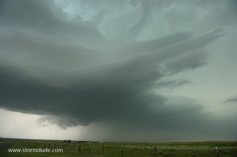
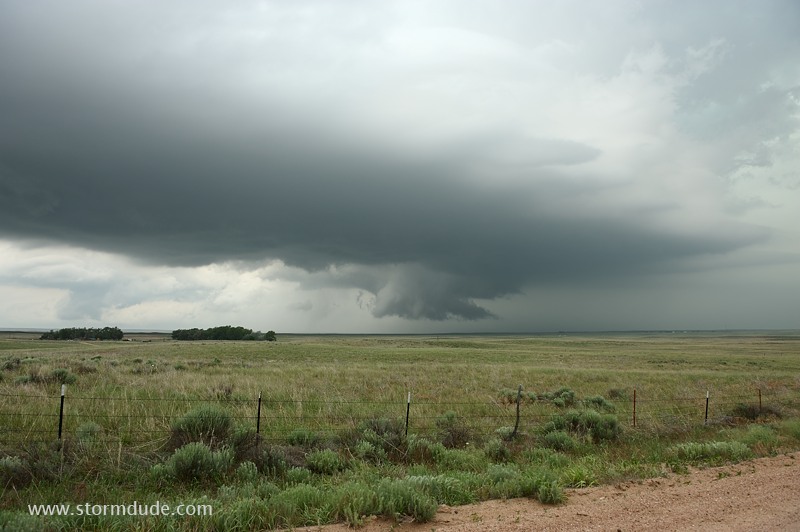
Strong updraft about fifteen miles west of Last Chance, Colorado.
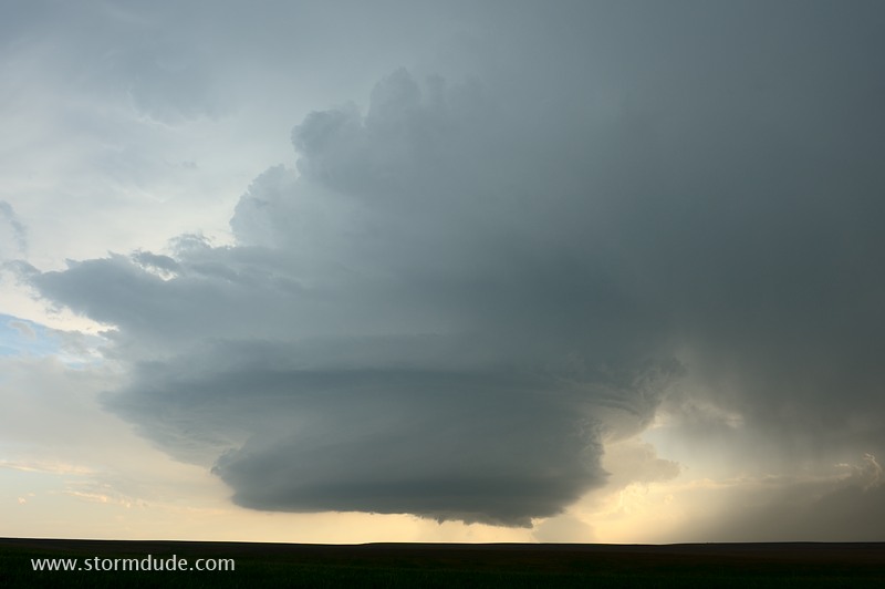
Close-up view of sculpted updraft.
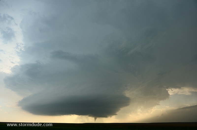
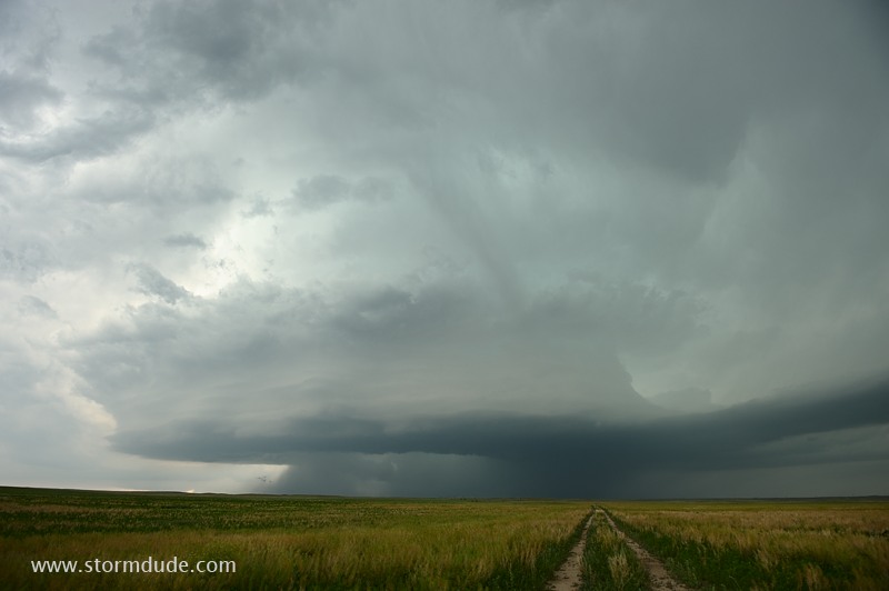
I'm in perfect position to observe one of nature's most amazing phenomenon.
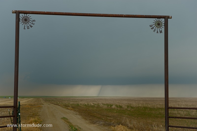
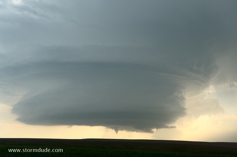
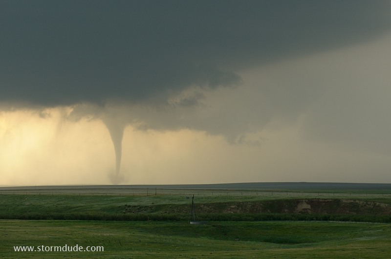
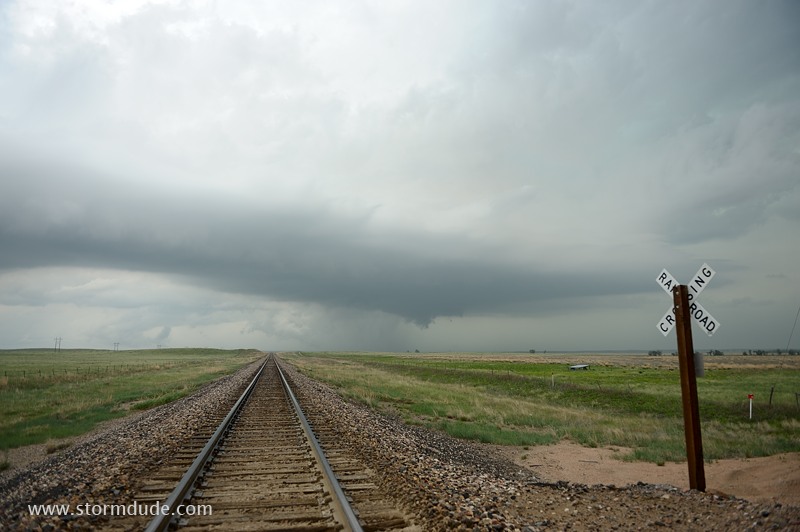
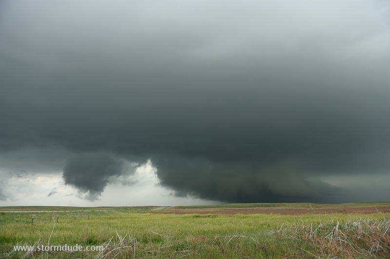
Funnel descends.
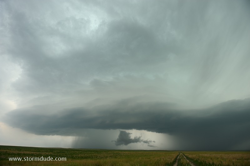
Circulation reaches the ground.
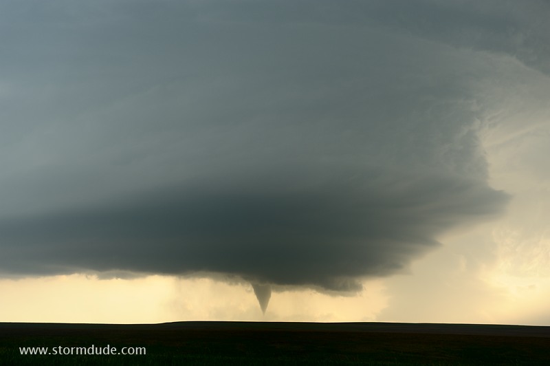
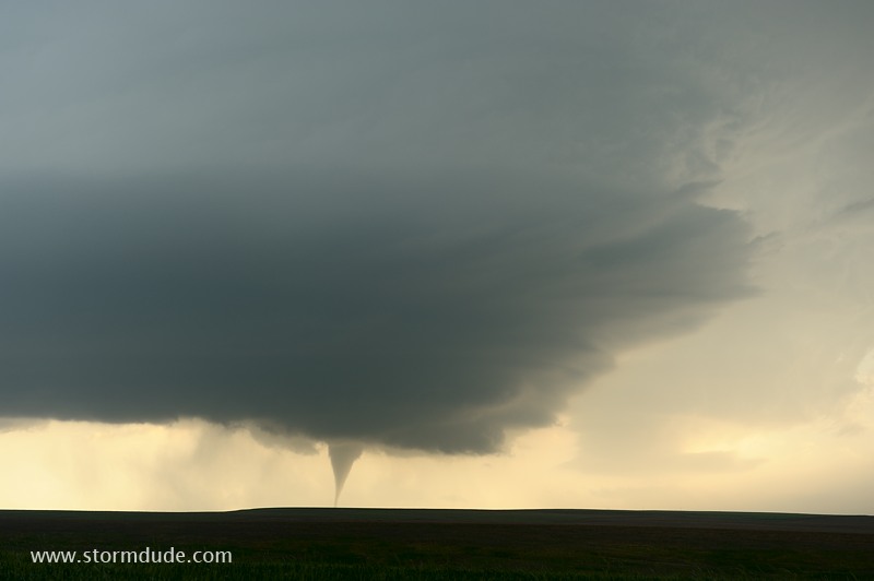
Closer view.
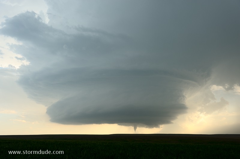
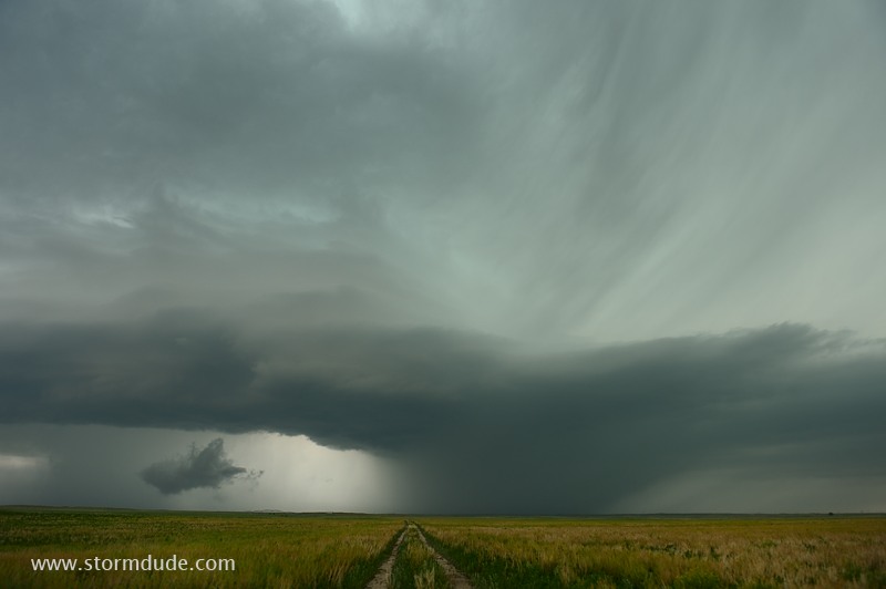
Wide-angle setting on my 24-70mm zoom lens.
This tornado is occurring as the updraft is slowly drifting away from the main downdraft.
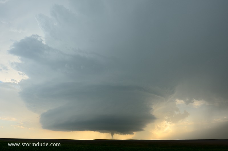
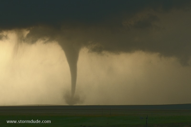
Four minutes into the tornado lifespan.
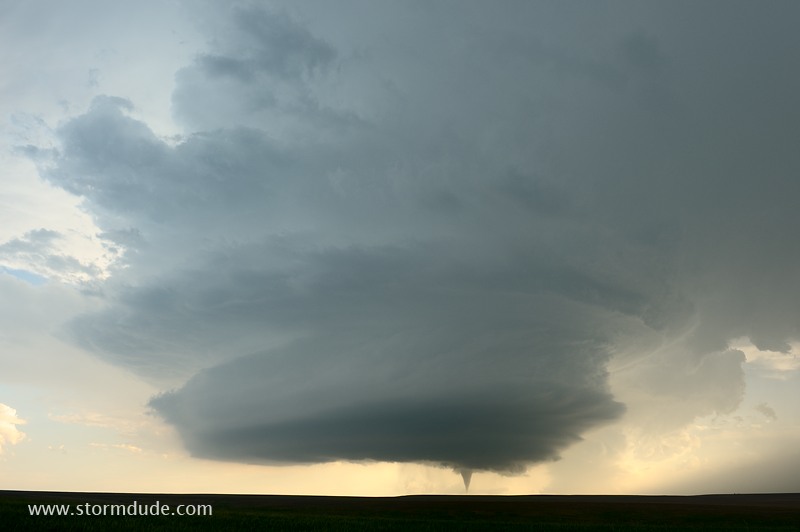
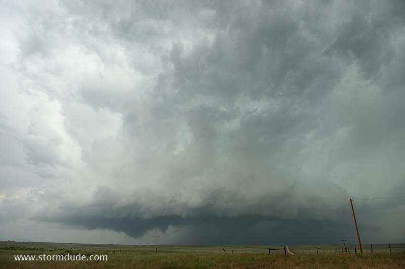
A clear view of storm structure and tornado, a rare and spectacular event.
This gives a good feel of my distance to the tornado.
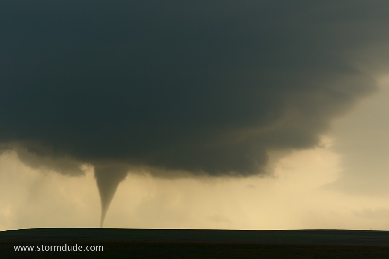
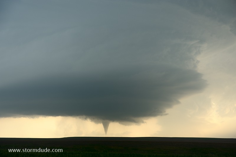
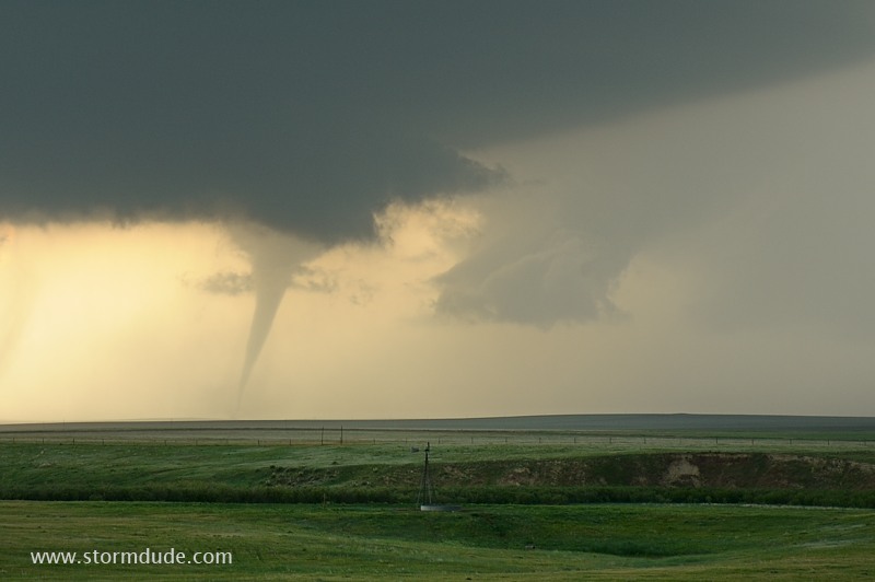
Close-up of this cone tornado just before it abruptly dissipates. I begin driving east, but a minute later stop for another tornado.
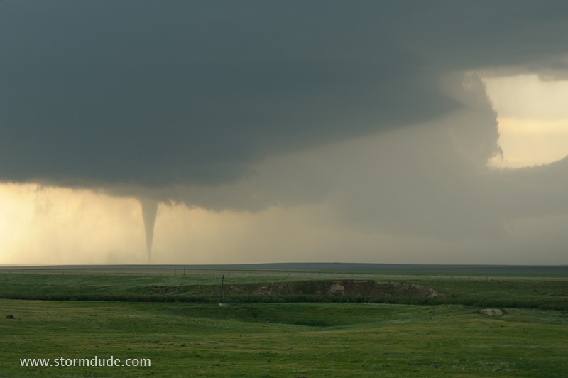
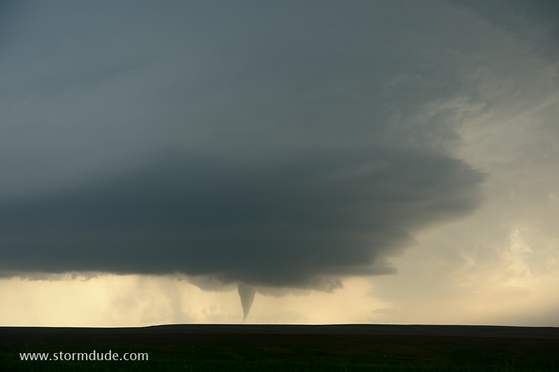
This tornado has formed behind the first one and closer to the main storm.
A minute later.
Closer view.
Just before it weakens.
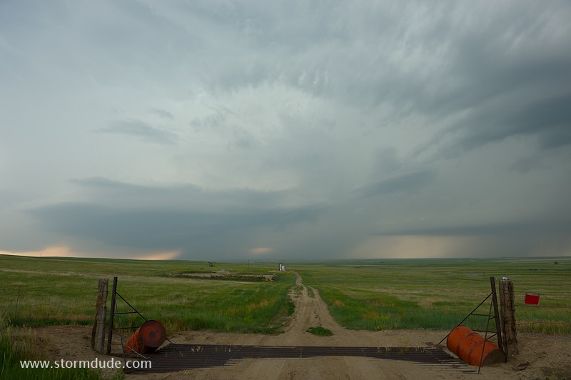
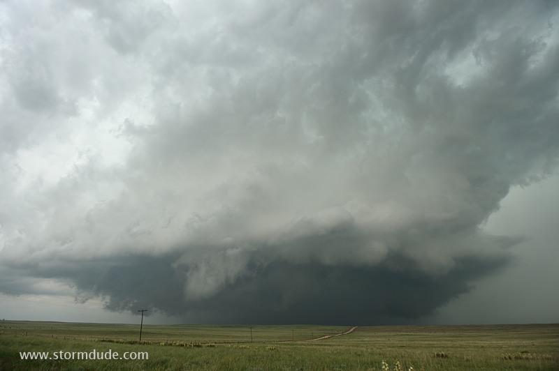
Outflow takes over as dusk approaches.
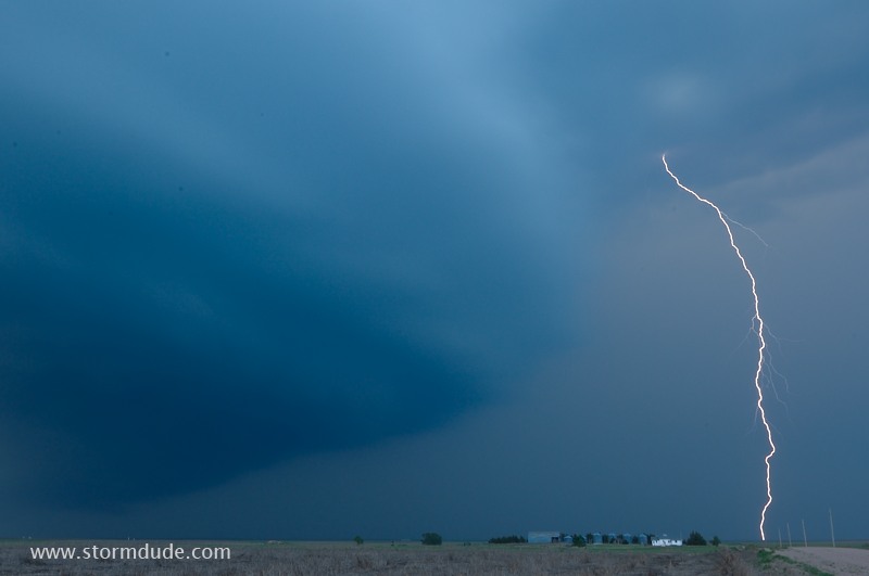
Nearby CG at dusk.
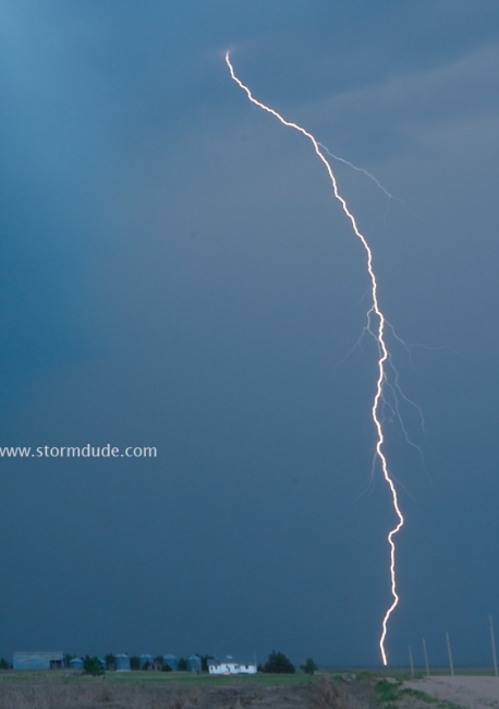
Closer view. This caps an outstanding day of chasing.
June 11: Colorado Supercell
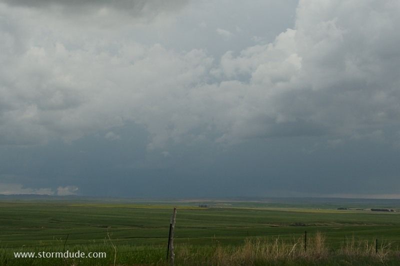
Marginal CAPE today but enough shear for a line of storms to develop across eastern Colorado. I'm positioned northeast of the southern storm, but mid-level winds are too weak and the storm drifts due east.
Instead I drive north to intercept a storm moving east-northeast from Denver.
Rotating storm approaches from the west.
View from a remote farm road just west of Ninemile Corner, south of Brush, Colorado.
Incredible display of nature and not a chaser in sight. This is after the biggest pre-convection chaser convergence I've ever seen, earlier in the afternoon in Limon (a couple of hundred chasers including Vortex 2).
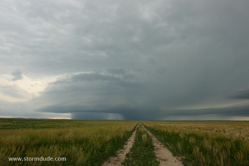
High-plains storm.
I drive east on a well-maintained dirt road before stopping for another photo.
Rotation diminishes, giving the storm a ragged appearance.
Still a spectacular sight.
Storm weakens as the evening wears on.
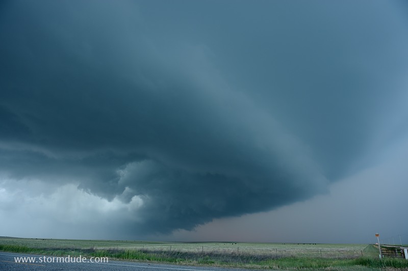
Wall cloud forms but doesn't rotate.
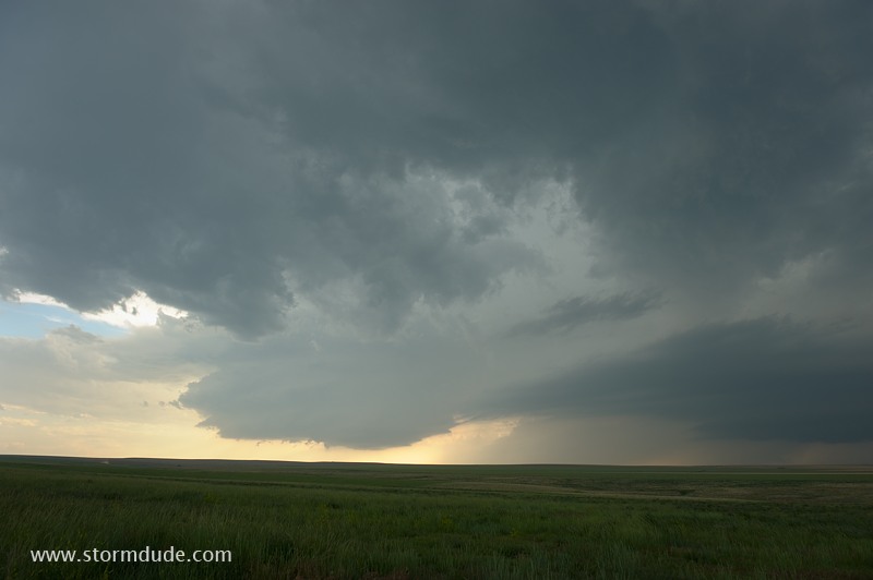
Nasty looking cloud is worth a closer look.
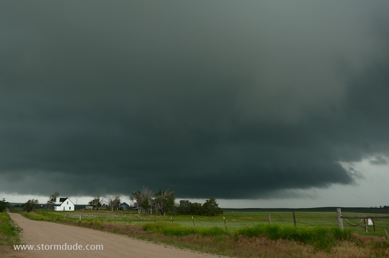
Up close it isn't so bad. Today is a good finish to the 2010 storm season.