May 18: Texas Panhandle Supercell
In front of a tornadic supercell east of Dumas, Texas.
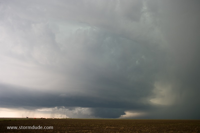
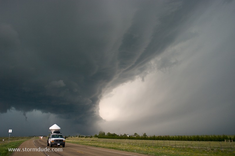
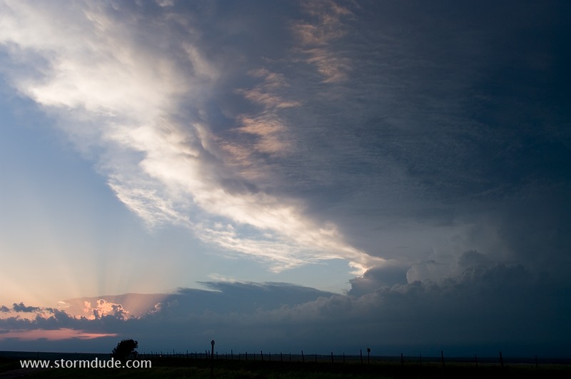
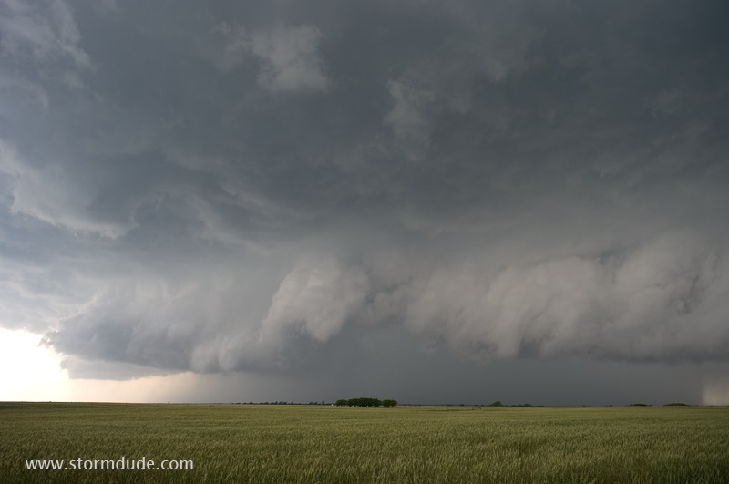
Gorgeous, awe-inspiring structure.
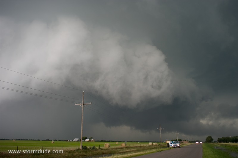
Wall cloud just to my northwest.
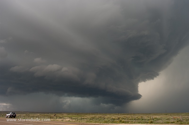
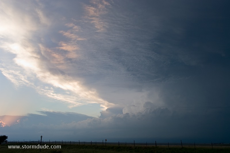
Another wall cloud approaching from the west.
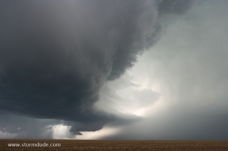
Vortex II radar truck getting ahead of the storm.
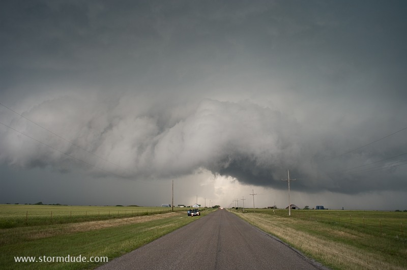
Storm parallels Highway 152.
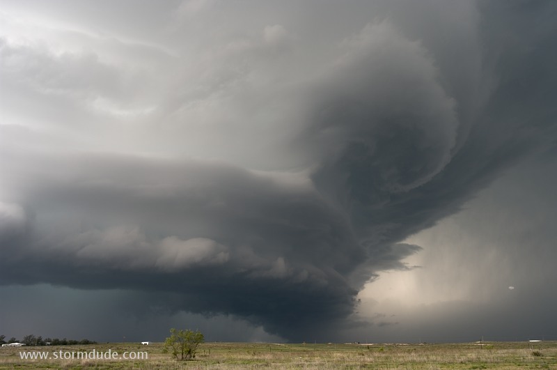
A couple of minutes later.
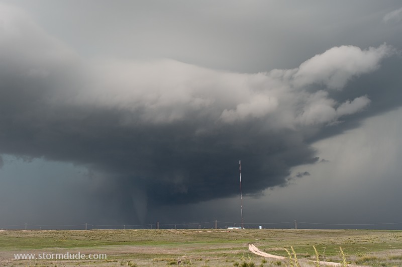
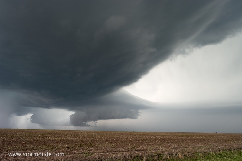
Tornado forms just northwest of Stinnett.
View from several miles south of the storm as it crosses remote ranching area east of Stinnett.
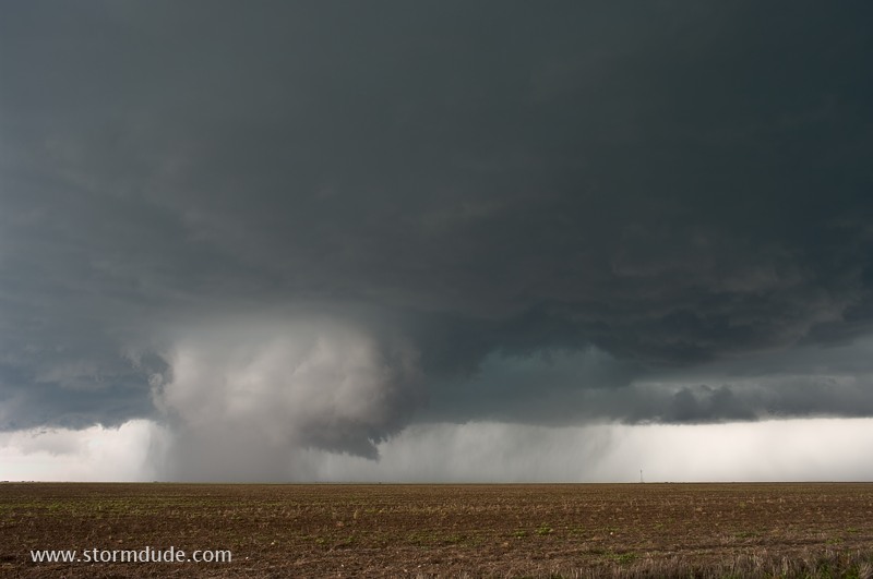
A final look before night falls.
May 19: Central Oklahoma Supercell
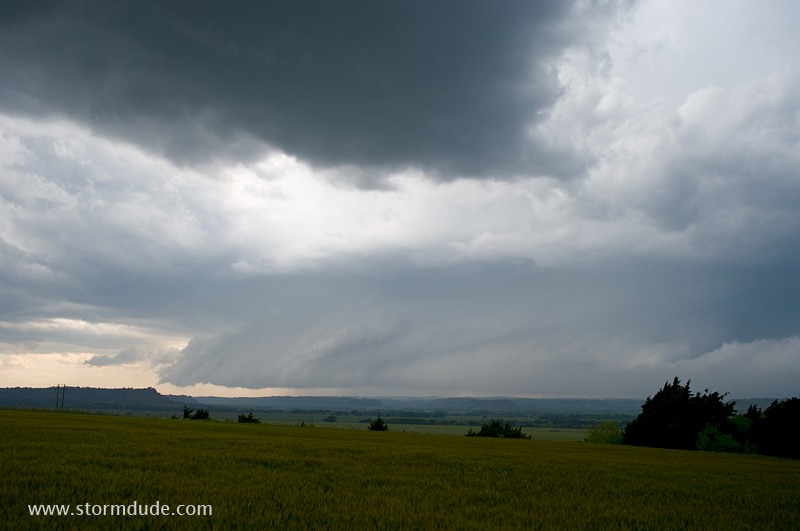
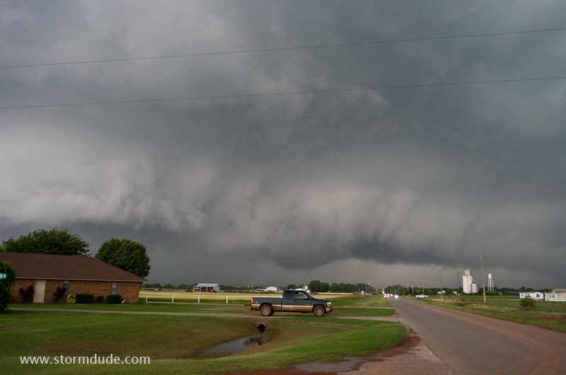
Supercell strengthens northwest of Watonga, Oklahoma.
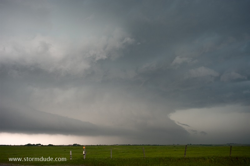
Beautiful structure as it approaches my position just east of the small town of Hitchcock.
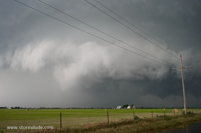
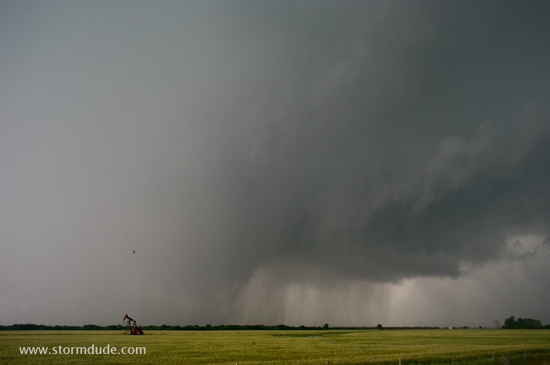
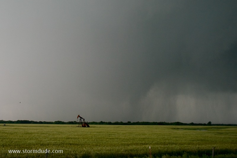
Powerful wet RFD (rear-flank downdraft).
Storm is moving due east on a small country road towards the town of Loyal.
As storm threatens to put down a tornado, Loyal resident is ready to flee.
Funnel descends....
...but is quickly obscured by rain.
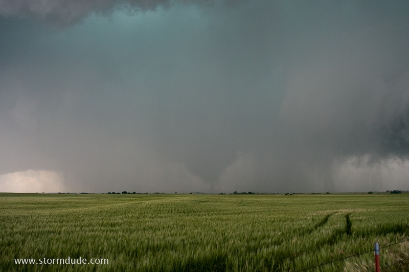
Barely visible tornado.
There's a tornado behind the rain curtains.
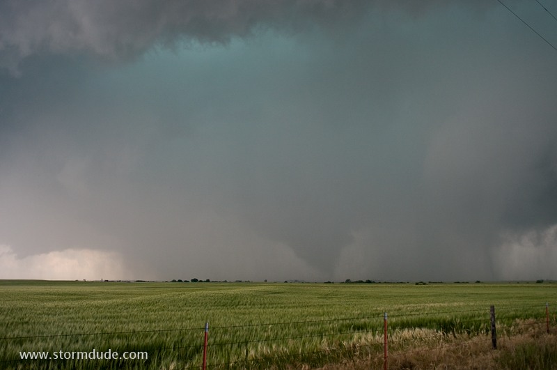
Finally in view!
A minute later.
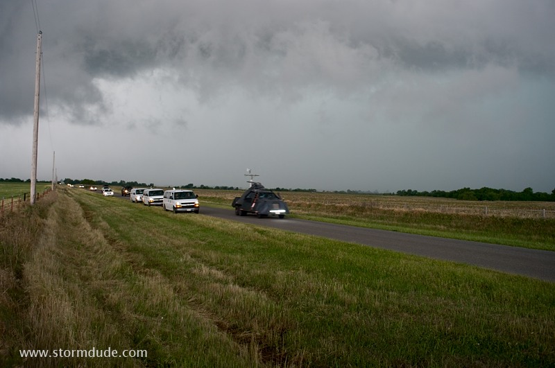
Only a handful of chasers found this remote road (including Sean Casey's TIV and Roger Hill's tour vans).