June 9th: Southwest Kansas Supercell
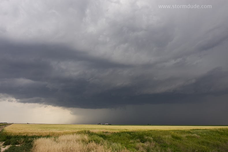
Thundershower develops at the triple point southwest of Dodge City on a warm, humid afternoon.
Storm strengthens as it passes over Dodge City.
Heading southeast to stay ahead of the storm.
Signs of rotation a few more miles to the southeast.
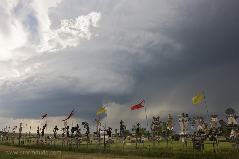
A small section of M.T. Liggett's wild sculptures just west of Mullinville.
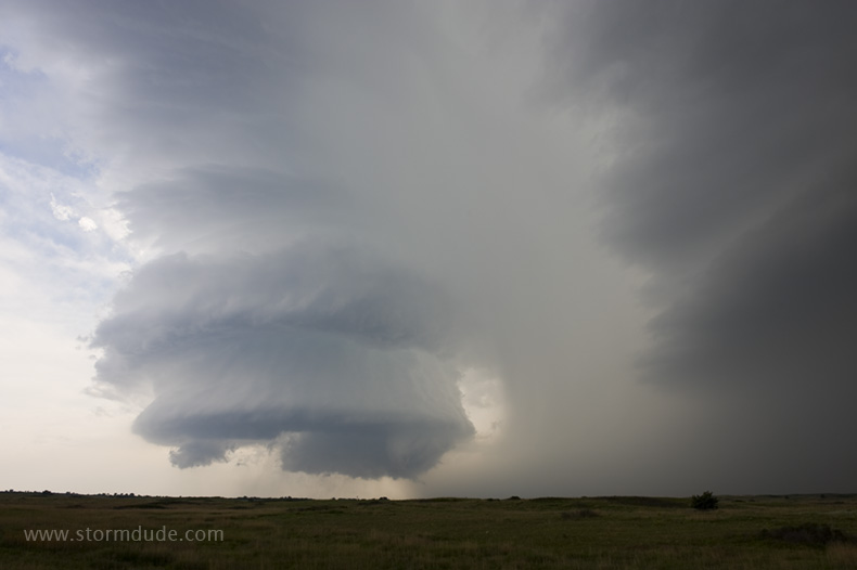
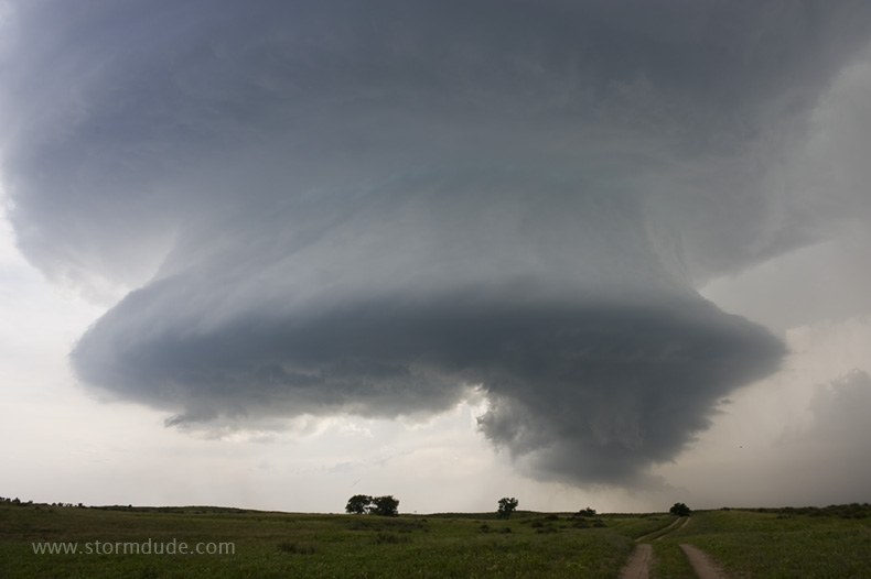
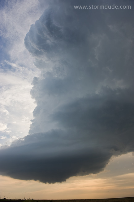
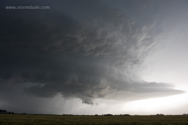
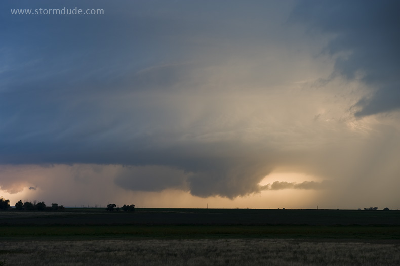
Rotating storm tower a few miles northwest of Greensburg.
We're in perfect position to enjoy this spectacle of nature.
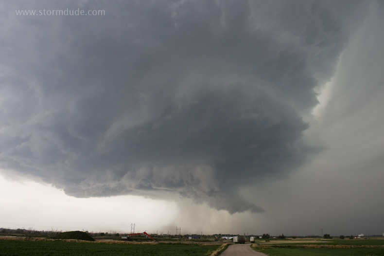
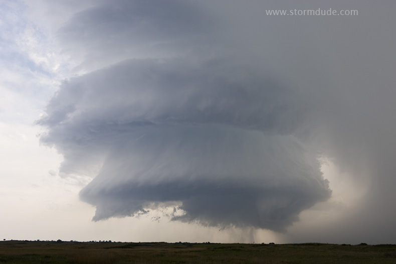
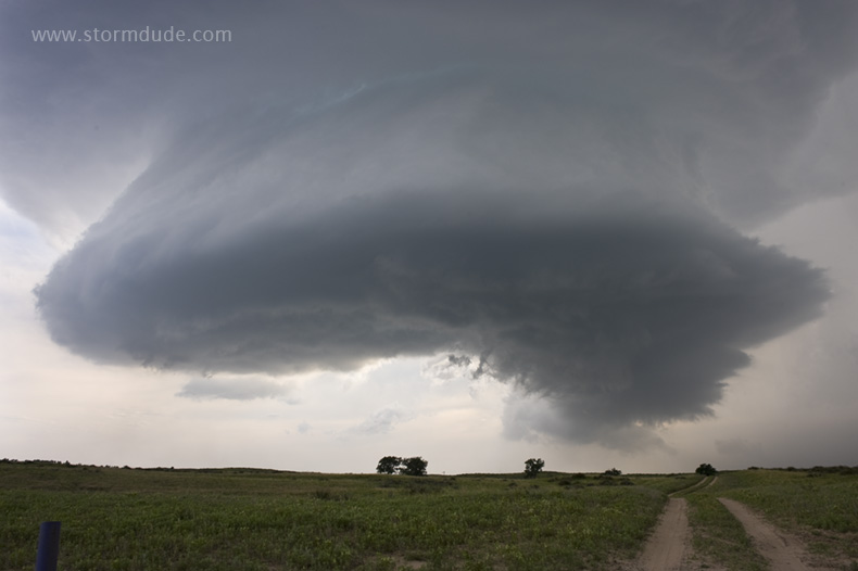
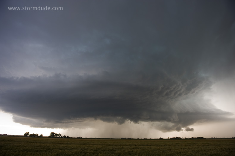
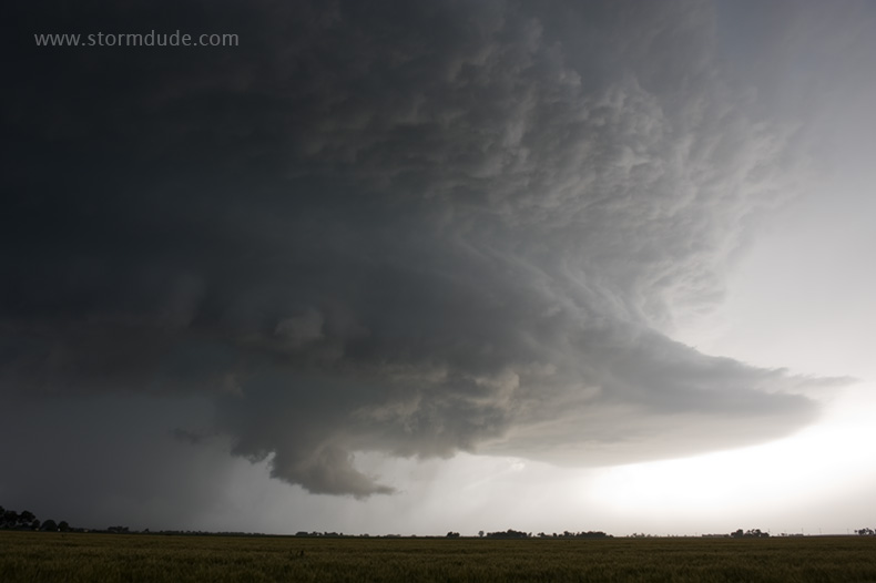
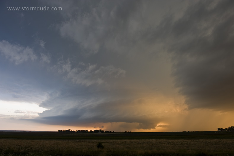
Wide-angle view as it approaches us.
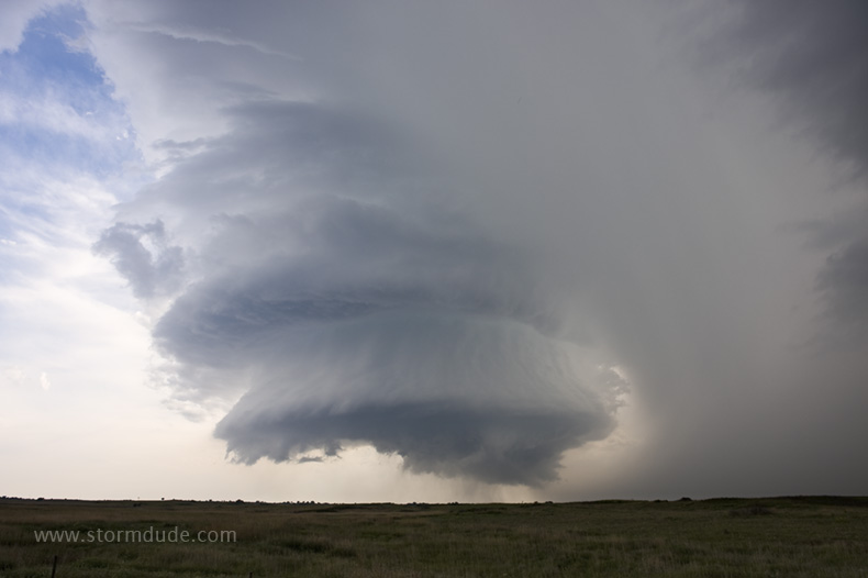
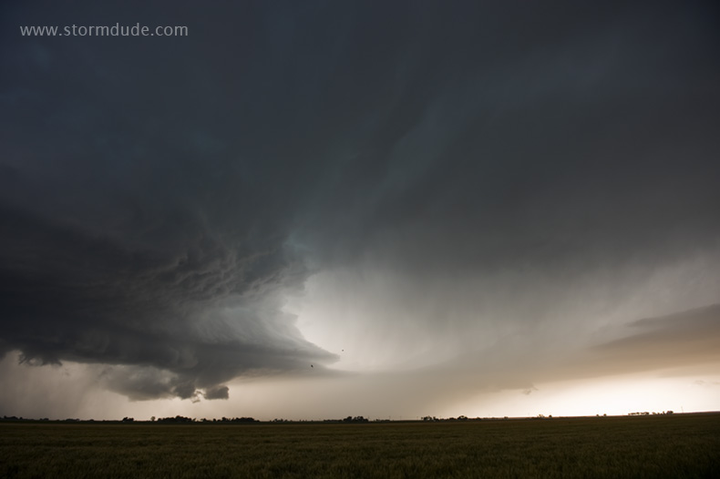
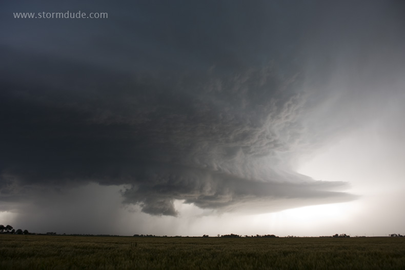
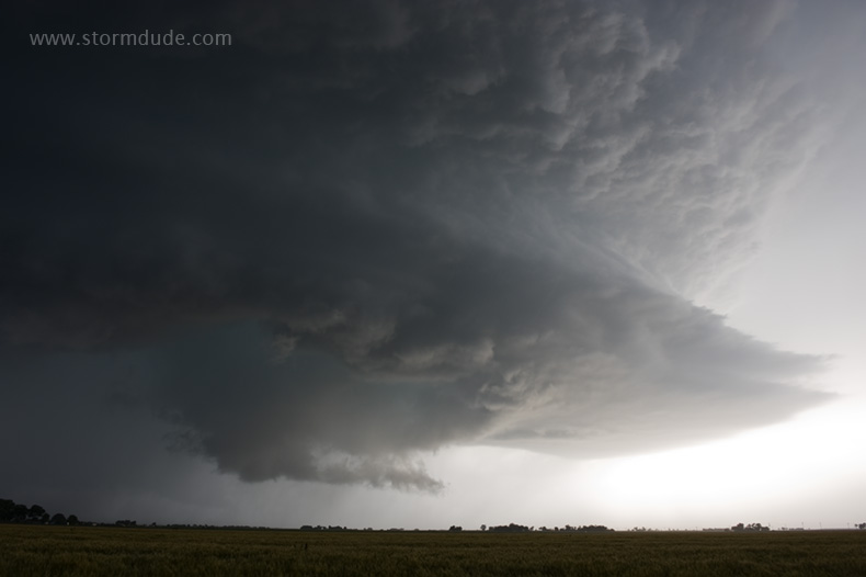
Incredible structure just to our west.
Marble-size hail begins to fall just before the storm reaches us.
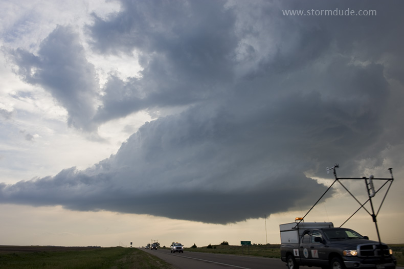
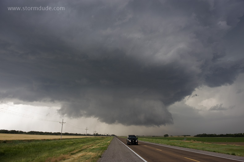
A few miles east on Highway 54. The storm is rapidly weakening as a caravan of Vortex 2 tornado researchers passes us.
LP supercell over the plains of Kansas.
Vertical view.
June 11th: Southeast Colorado Supercell
Evening storm develops near Las Animas, Colorado.
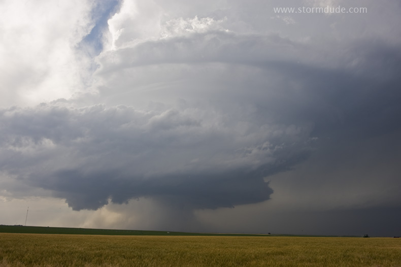
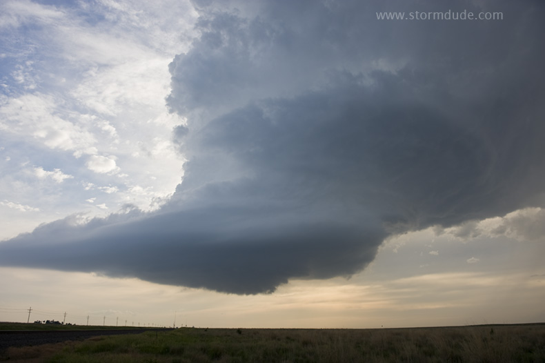
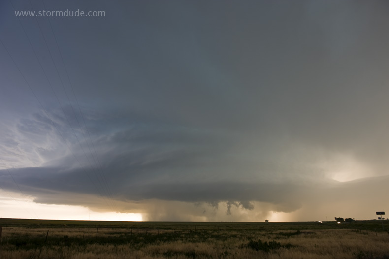
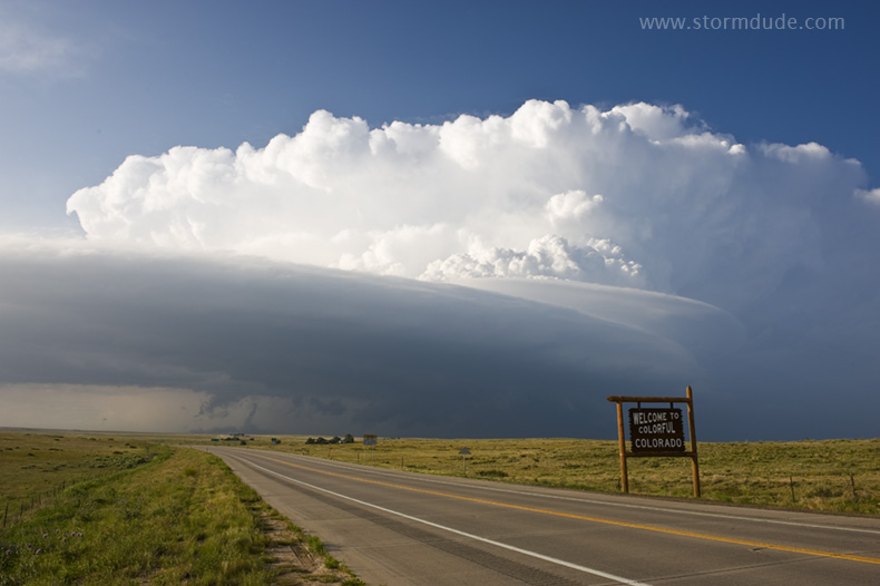
Beautiful structure on a great day for High Plains supercells.
The storm is moving due east, towards our position.
Close view.
With a nearby highway to take us directly away from the storm, we wait until it's upon us to leave.
An amazing sight on the High Plains.
A few miles to the east, we look back at the weakening storm.
Wall cloud develops but is soon undercut by cool outflow.
View from a few miles west of Lamar as the sun sets.
June 13th: Southeast Colorado Storm
Not a photogenic storm, but an interesting shot before we decided dinner takes priority.