May 13: Central Oklahoma Storm
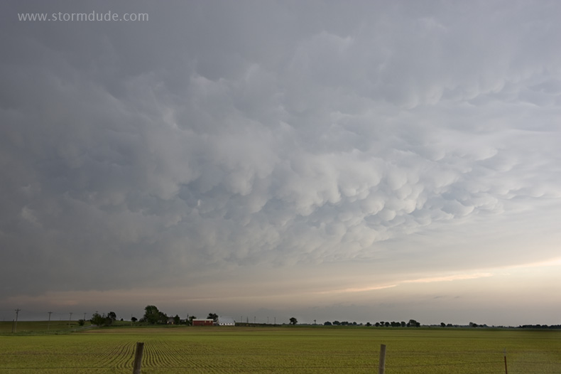
Jet stream is far to the north, but I manage to get one interesting shot of mammatus near Calumet. (Gary England joked that Vortex 2 had this storm surrounded and killed it.)
May 15: Southern Kansas Squall Line
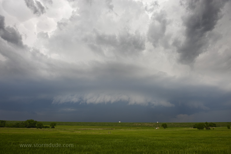
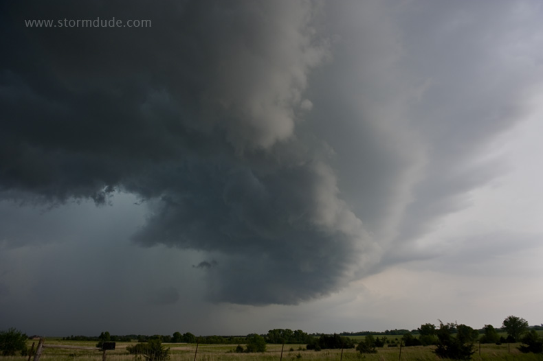
On my way north to Wichita late in the morning, I pass a caravan of Vortex 2 vehicles headed south and wonder if my forecast was wrong. But I stick to my target and intercept this storm a half-hour west of Wichita, over Cheney Lake.
Wall cloud develops then weakens as rain-cooled outflow undercuts the updraft.
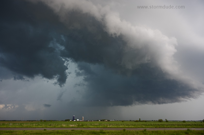
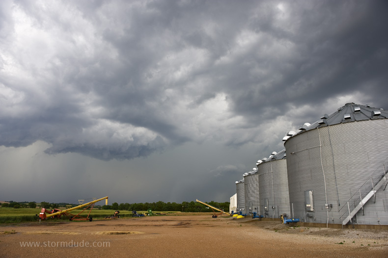
Kansas farm road under a mid-May thunderstorm.
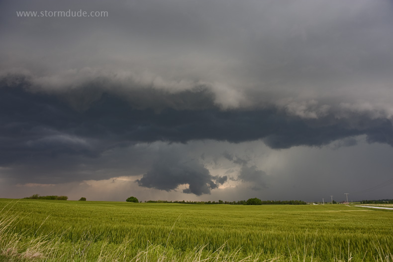
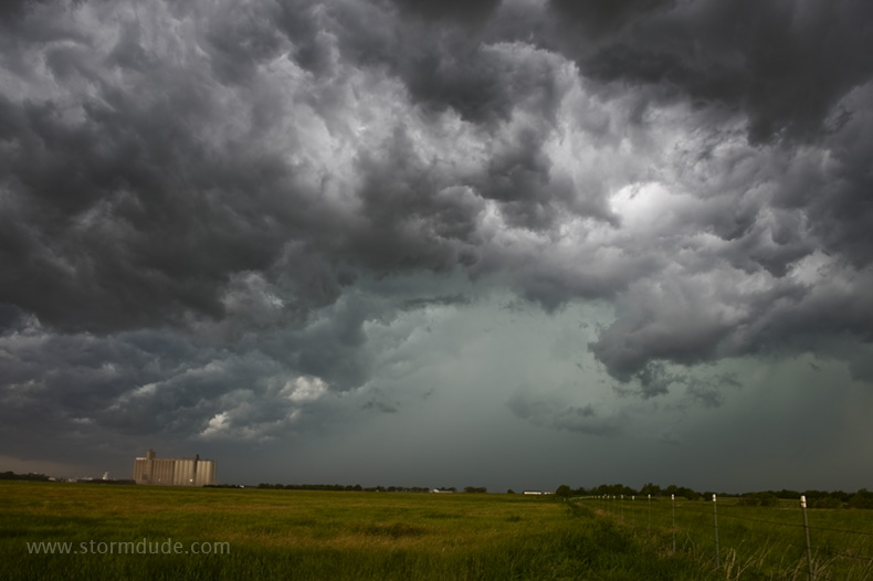
Very high CAPE but winds are nearly unidirectional (and weak at all levels). This generates a squall line from Illinois to Texas along an advancing cold front. Still beautiful, however.
Farm scene that reminds me of 1980s camping in Kansas when I first experienced the surreal beauty of the Great Plains in the spring.
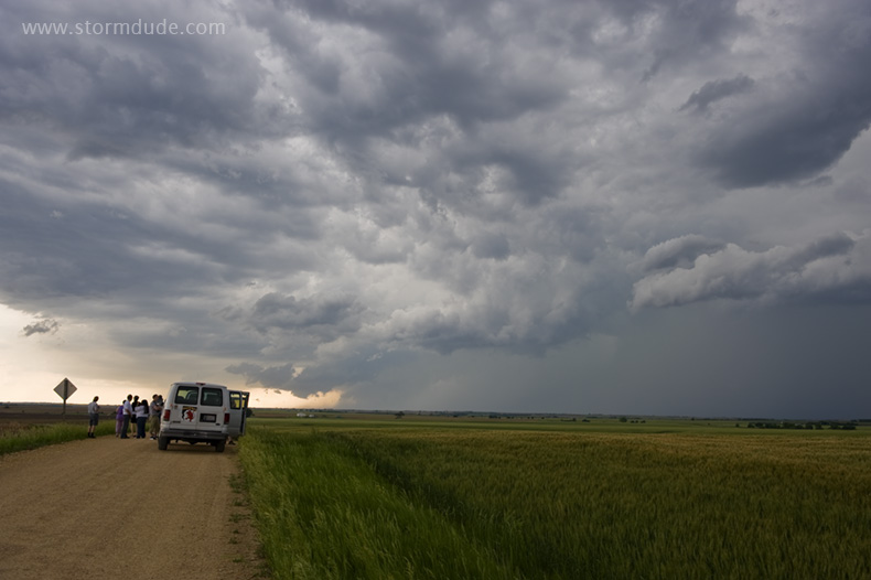
Three white vans from a storm chase tour group drive towards the storm.
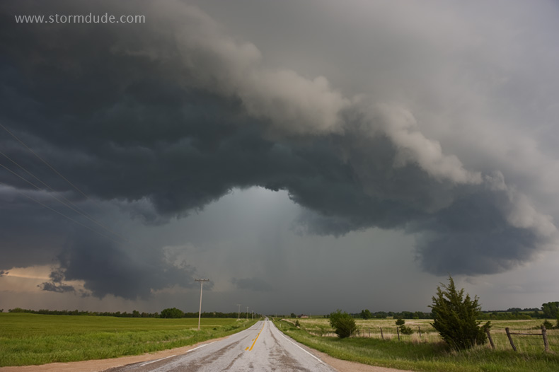
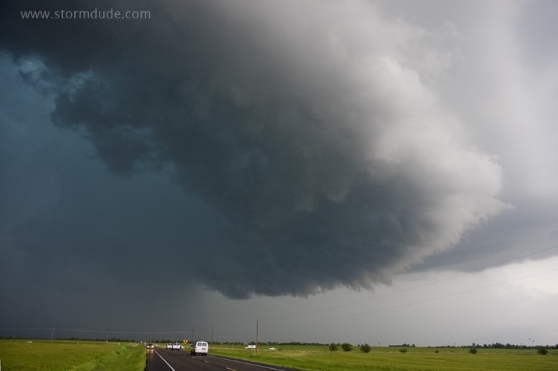
In the cool outflow just north of Wellington, Kansas.
June 1st: Northern Kansas Thunderstorm
Weak line of storms on a low-potential day.
Storm tourists hoping June is better than May.
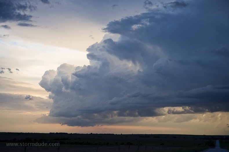
Beginning of a new storm at dusk.