May 26: Hill City Thunderstorm
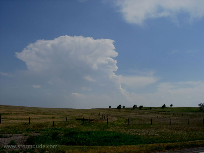
First tower goes up along warm front in northwest Kansas.
Thundershower is drifting slowly northeast. Conditions are marginal today, so I'm not expecting much.
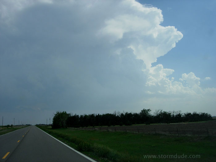
Storm approaching Hoxie, Kansas.
New tower growing on northern side of storm.
A few minutes later.
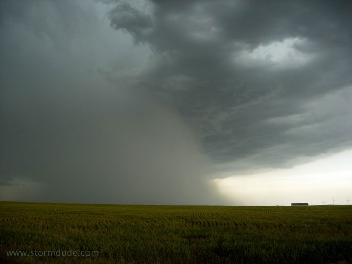
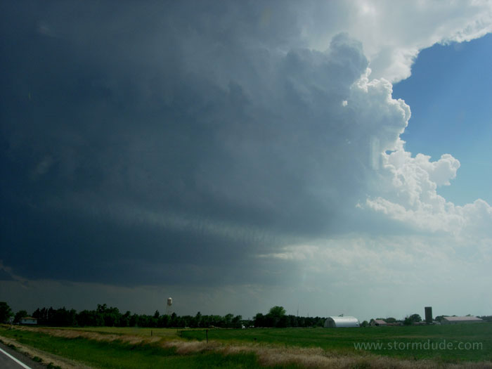
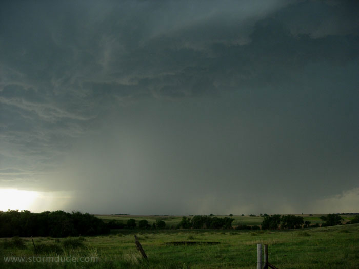
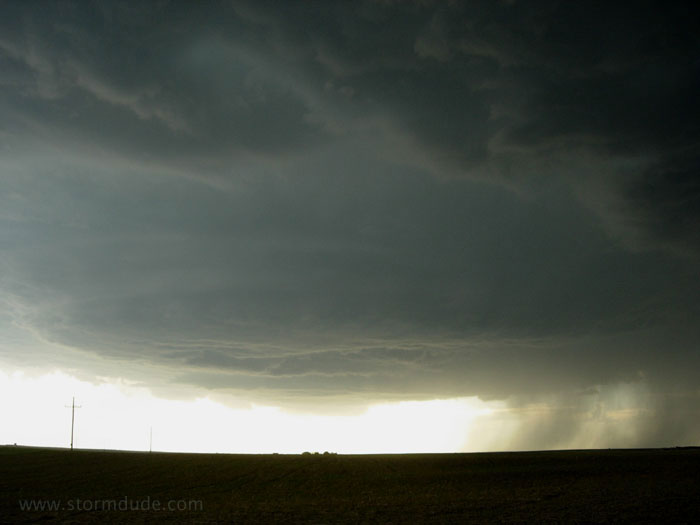
Cloudburst on eastern side of storm, a few miles west of Hill City.
Hole forms in cloud from downdraft.
View looking north.
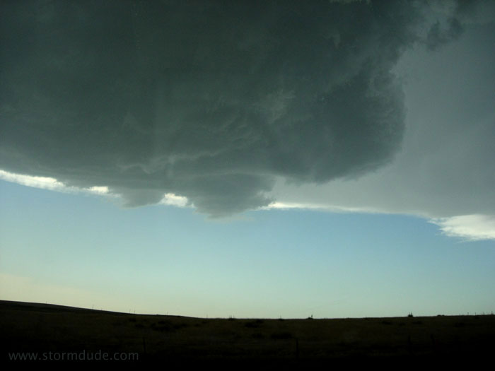
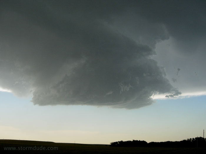
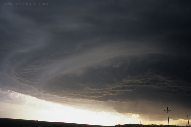
Outflow begins to dominate the storm.
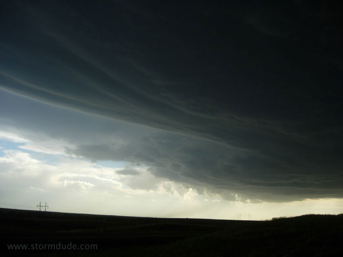
Smooth cloud bands indicate some rotation.
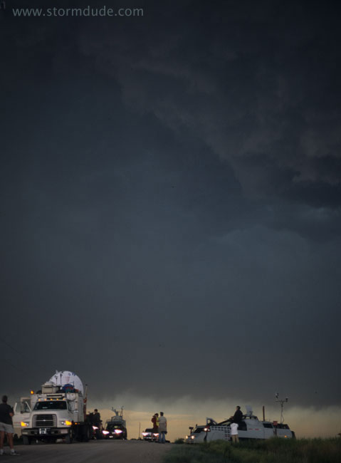
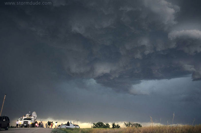
Josh Wurman and Sean Casey, along with various members of their research and IMAX teams, occupy dirt road with panoramic view of storm.
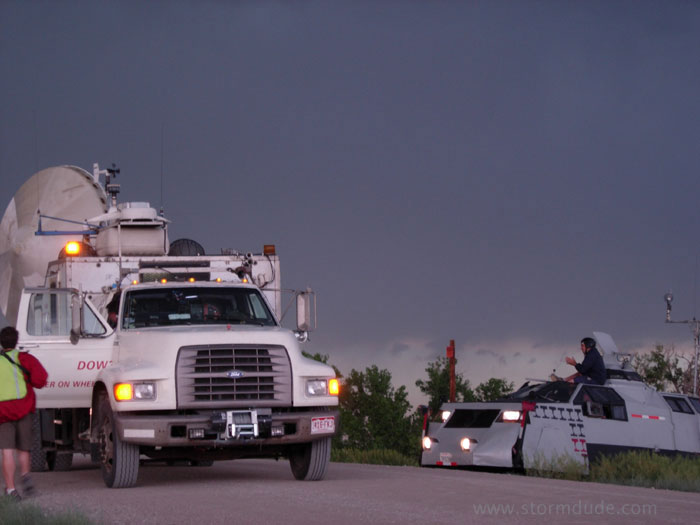
Serious storm chasers with serious equipment.
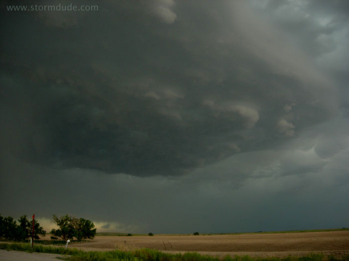
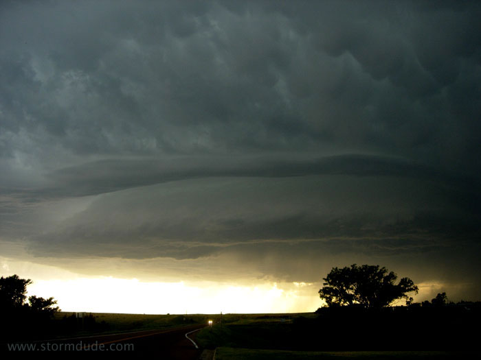
Rotation to the west.
Meanwhile, ragged cloud base develops overhead.
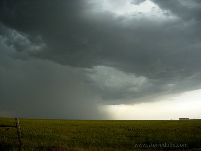
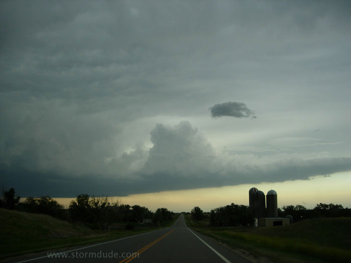
Another scenic view in this relatively weak storm.
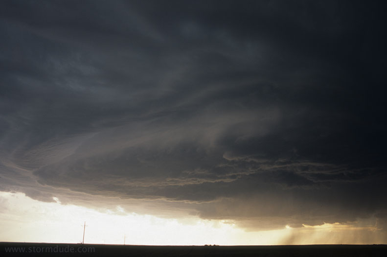
Interesting structure though no tornado potential.
A few minutes later
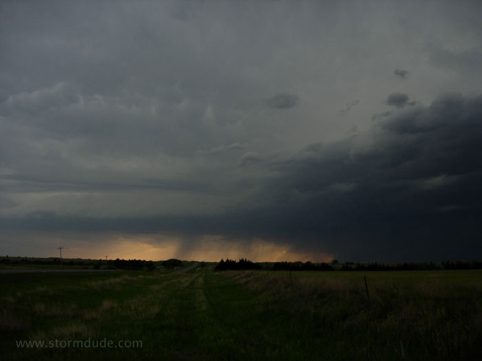
I start heading east as dusk approaches. This is the view looking back towards the westernmost cell.
Driving east towards the intensifying leading edge of the developing MCS.
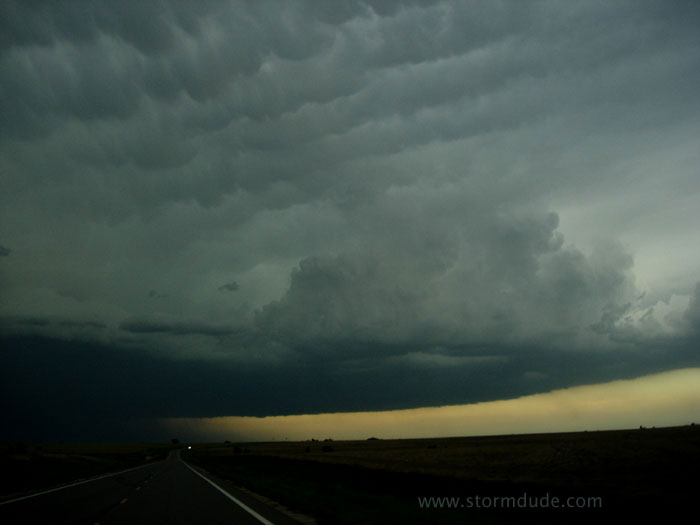
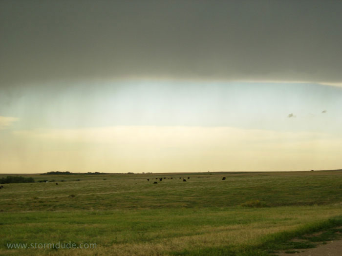
Another breathtaking site over the Plains and a reminder that marginal Spring days can still produce beautiful storms (or a marginal day of chasing in the Plains is better than the vast majority of Southern California thunderstorms).
One last look back west. These types of scenes make it all worthwhile.