May 30: Western Oklahoma Thunderstorm
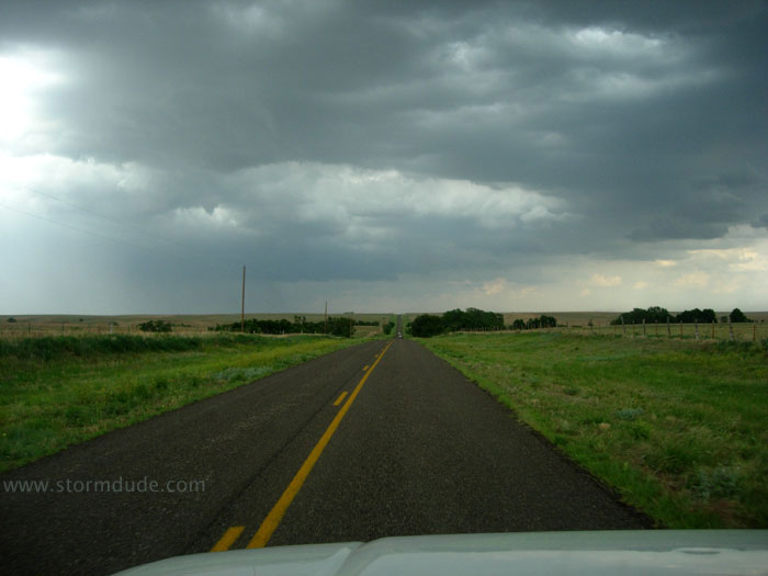
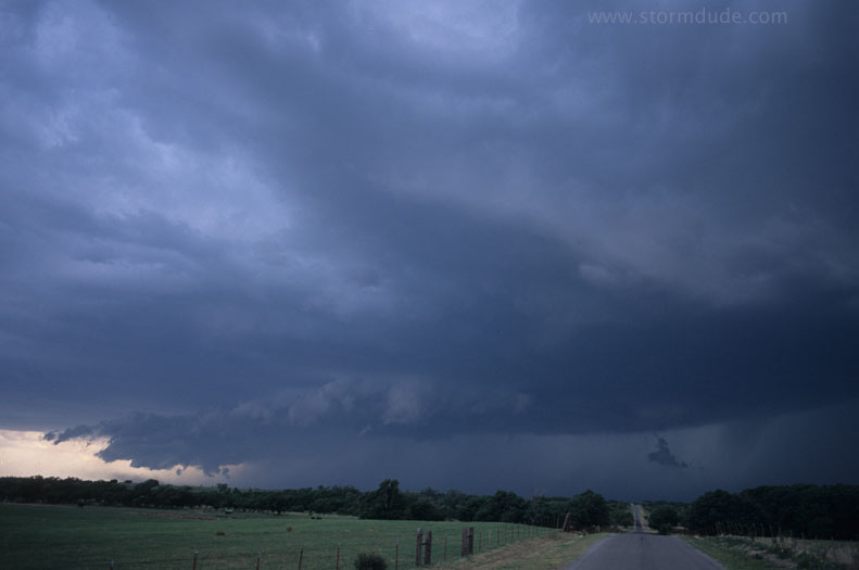
Strong thunderstorm northeast of Wheeler, Texas. I caught up with this slow-moving storm late in the afternoon, after morning thunderstorms stabilized the air mass in the Oklahoma Panhandle (and eliminated some very good prospects for good CAPE and shear).
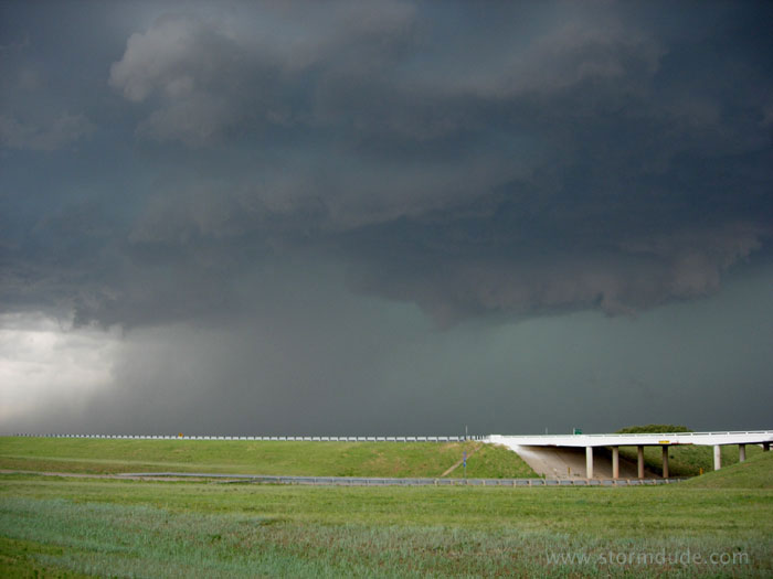
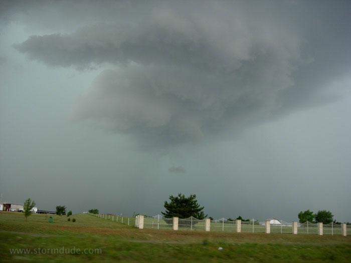
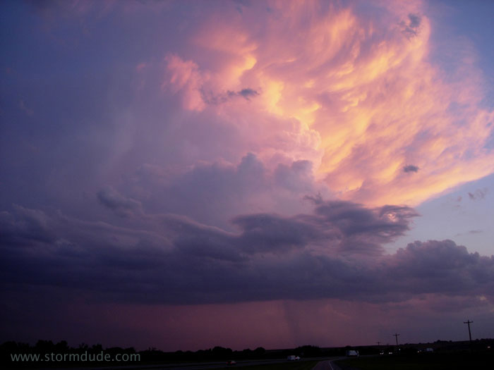
Early evening near Erick, Oklahoma. Though this storm doesn't have the tornado potential I originally expected for today, it is still quite scenic.
Developing shelf cloud is a clear sign of an outflow-dominated thunderstorm. With frequent CGs, I took lots of pictures with my digital camera, hoping to capture a bolt.
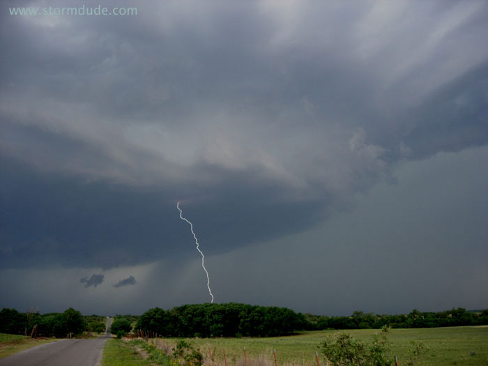
My first fully framed lightning shot! And I didn't even know I got it until reviewing my photos the next day.
An enjoyable storm, made all the better by my lightning shot.
June 13: Southwest South Dakota Thunderstorms
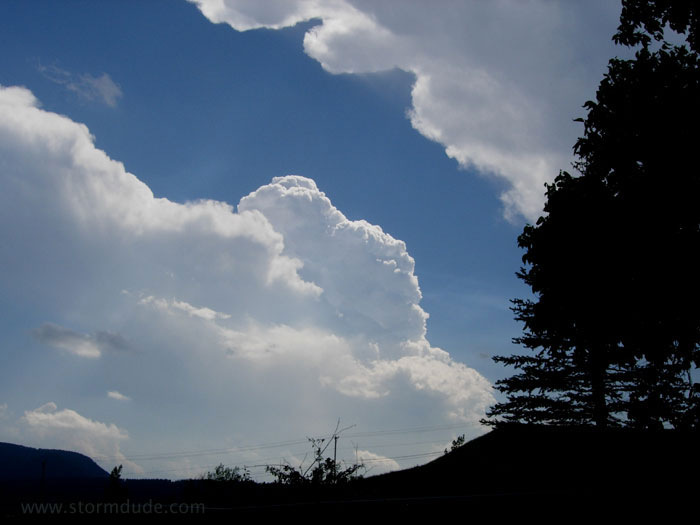
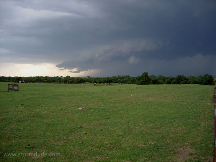
Strong ridge over the southern Plains forces me all the way to southwest South Dakota, where I finally see some high-based convection in the Black Hills.
Strong convection but a very narrow tower that doesn't expand with time.
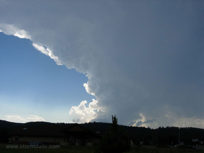
Another storm to the south pulses strongly, but isn't sustained due to weak shear.
June 17: Southern Oklahoma Squall Line
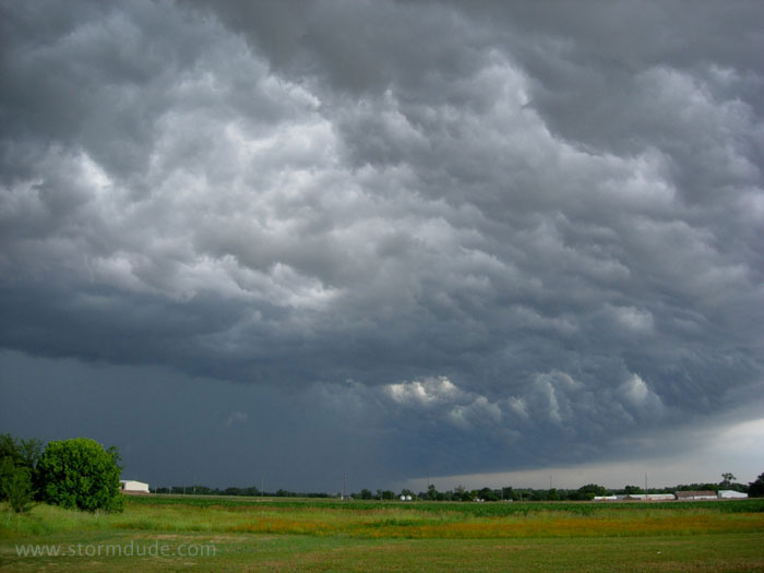
Rare incursion (at least for this Spring) of Gulf moisture into the Plains results in developing storm east of Lawton.
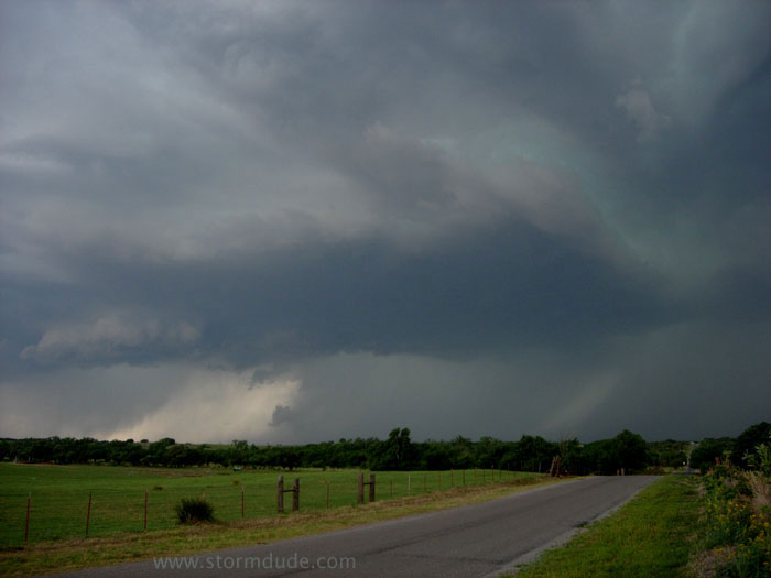
Weakening upper winds leads to squall line.
Under the shelf cloud.
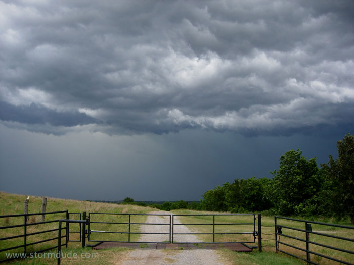
Appropriate symbol of a season where deep Gulf moisture was mostly absent.
Last storm of the last day of a rather quiet season. Maybe next season will see the return of deep Gulf moisture to the Plains (or at least I'll be a little wiser about where to find supercells in low-CAPE situations).