May 23: Southern Nebraska Squall Line
Shallow moisture and advancing cold front: perfect ingredients for a weak squall line. I intercept the southern end fifteen miles southwest of Grand Island.
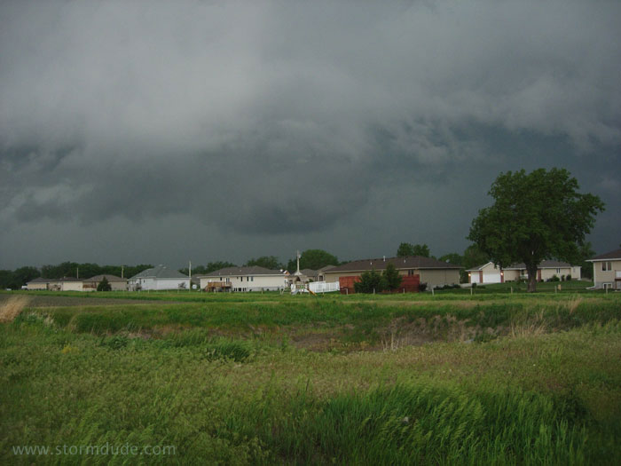
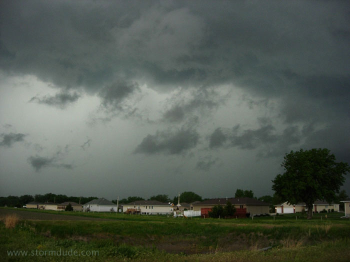
Strong downdrafts make this storm outflow-dominated.
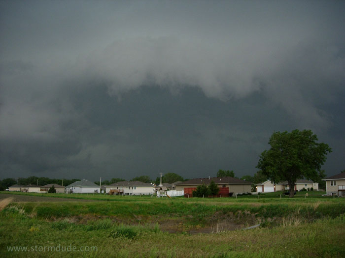
A little later a new downdraft resembles a wall cloud.
But soon the cold gust front reaches me, with the only threat being dime-size hail. Supercells require a balance between cool outflowing air and warm, humid inflowing air. Today outflow wins out.
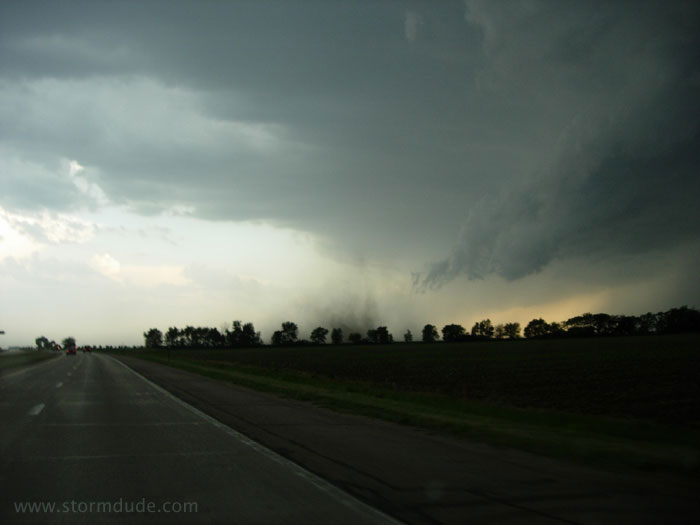
Gustnado races east across the road ahead of me. This is the leading edge of cool air rushing outward from the storm.
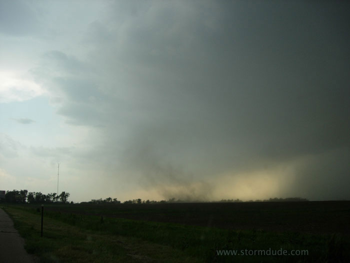
As I continue driving south, another dusty gustnado crosses the road.
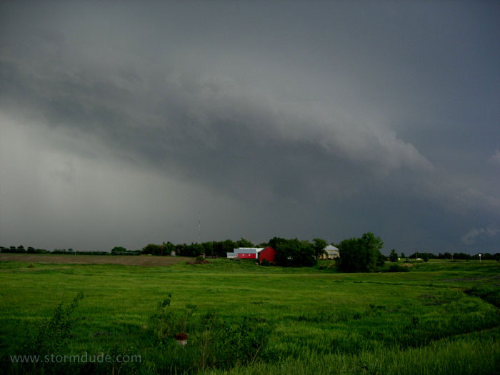
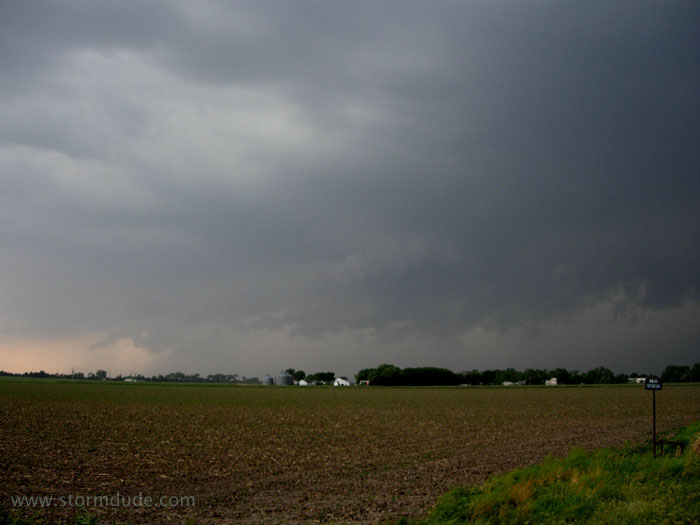
Just north of Hastings, a shelf cloud advances over a picturesque farm.
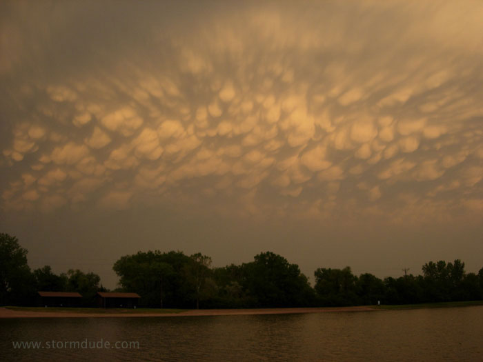
Backside of the squall line. Some stormy scenes made this chase worthwhile, but I'm looking forward to the eventual return of deep Gulf moisture to the Plains (absent since March).