May 5: West Texas Supercell - Dawson County
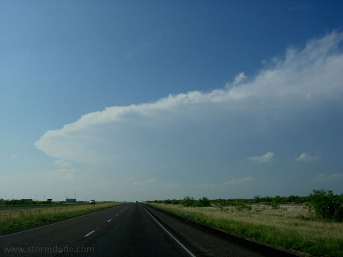
On the third day in a row, I find a supercell in West Texas. I am once again heading towards Seminole.
As the storm turns right and begins moving slowly southeast, I branch off at Andrews and end up in front of the storm a few miles ESE of Seminole.
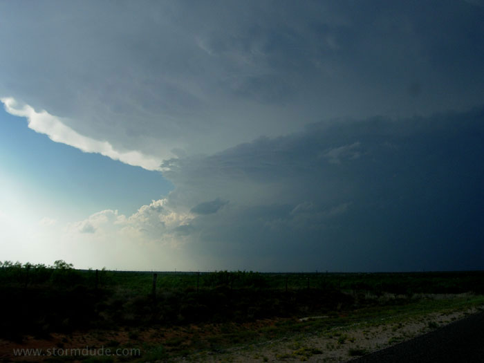
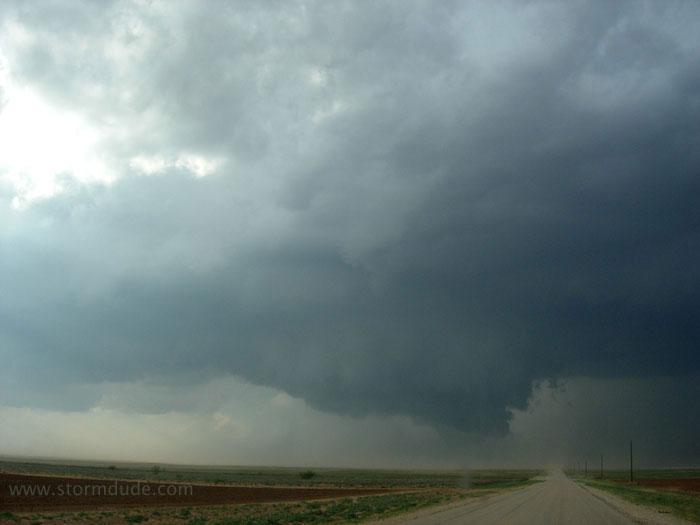
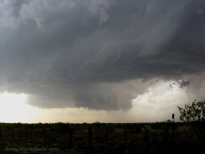
Strong southeast winds rake across freshly plowed fields, turning the area right in front of the wall cloud into a dust storm. After escaping southeast a few miles, I stop and look back at the storm.
A wall cloud tilting towards the rainy downdraft of the forward flank of the storm (FFD).
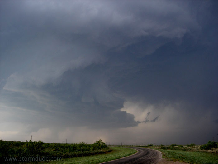
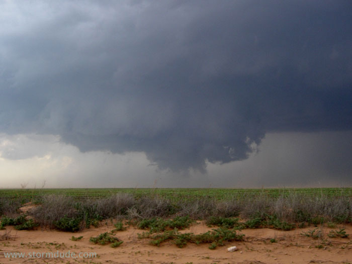
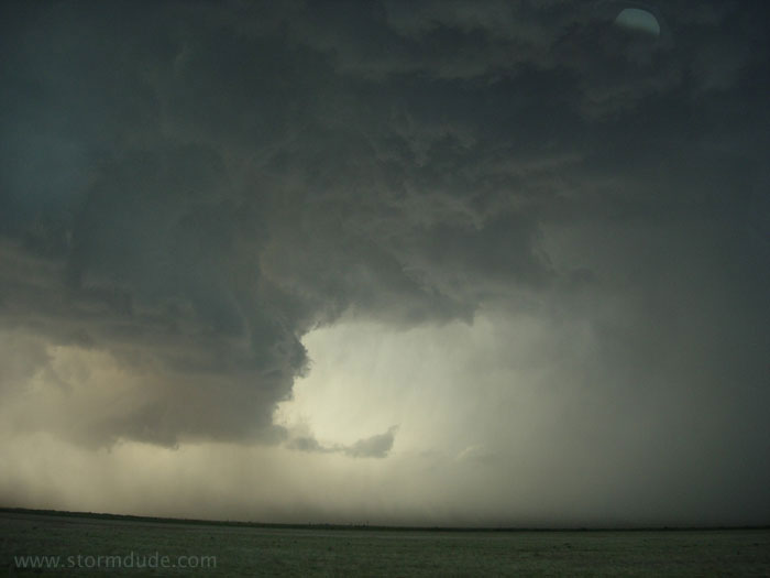
The wall cloud gets closer.
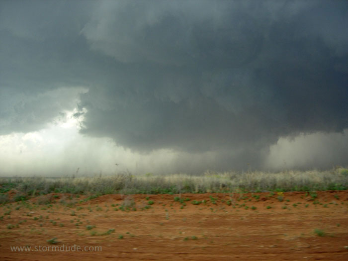
I zig-zag southeast to stay ahead of the wall cloud.
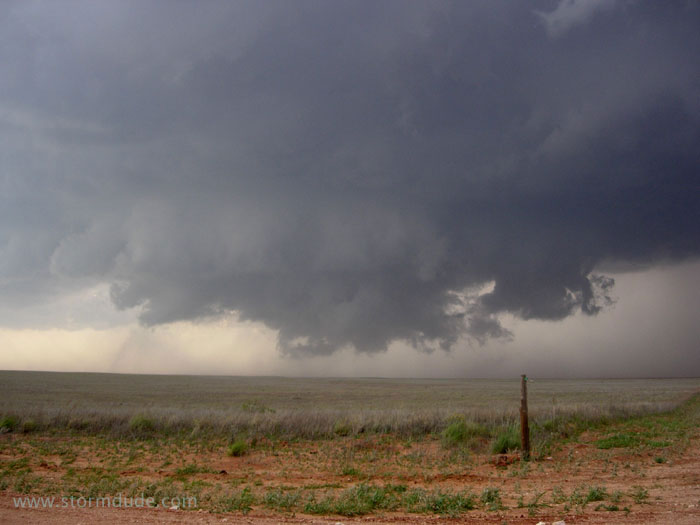
The wall cloud becomes very ragged.
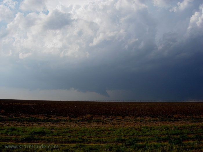
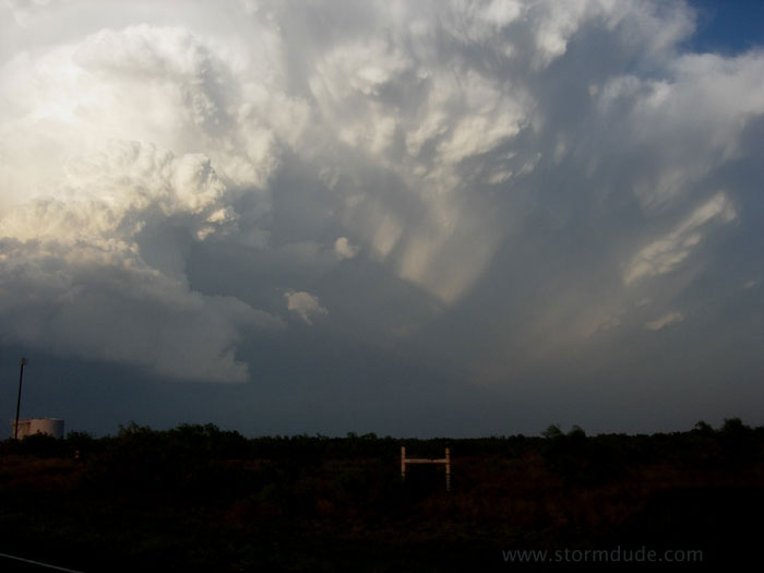
Decision time: dirt road in a dust storm to stay ahead of this wall cloud, paved road to the southwest that will take me directly under the wall cloud, or paved road to the northeast that will take me under the FFD and quarter-size hail. I choose the northeastern route and end up with numerous dings on my car.
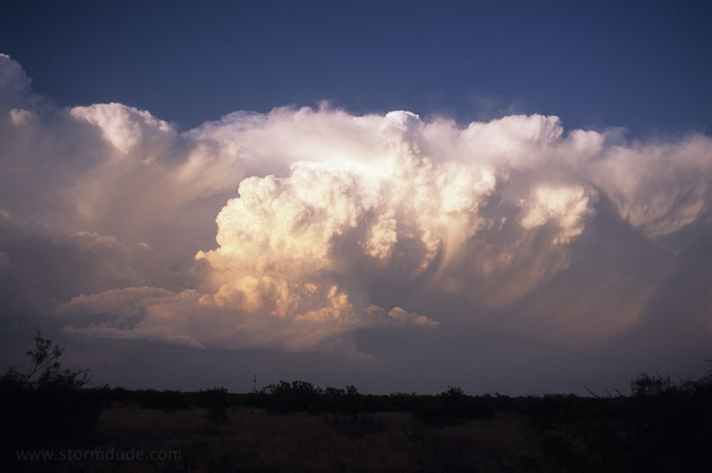
Once safely ahead of the storm, here is the view looking west.
A little later, right before a gustnado passed by a crowd of chasers.
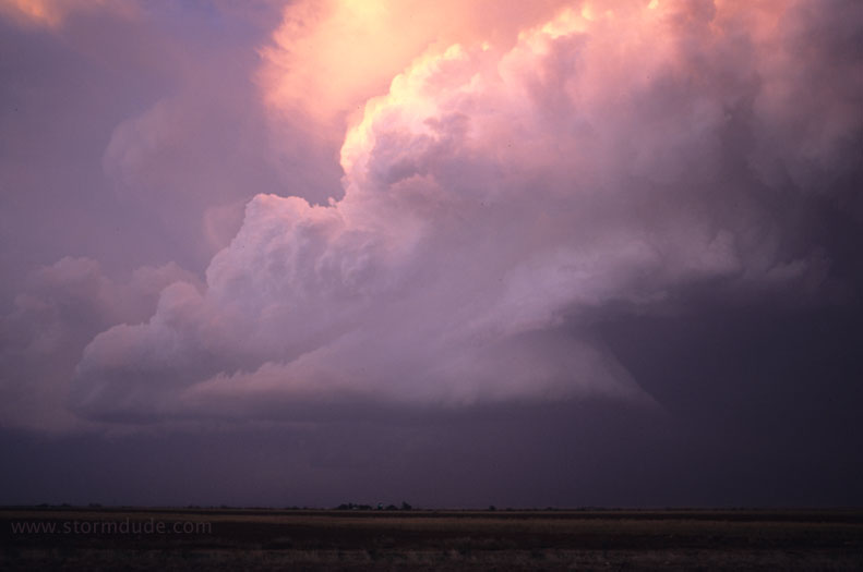
Behind the storm at sunset.
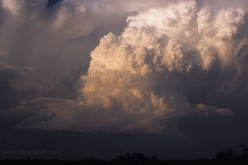
A few minutes later.
Another remarkable storm in West Texas.
More signs of rotation just after sunset after a very good day.