May 4th: West Texas Supercell - Gaines County
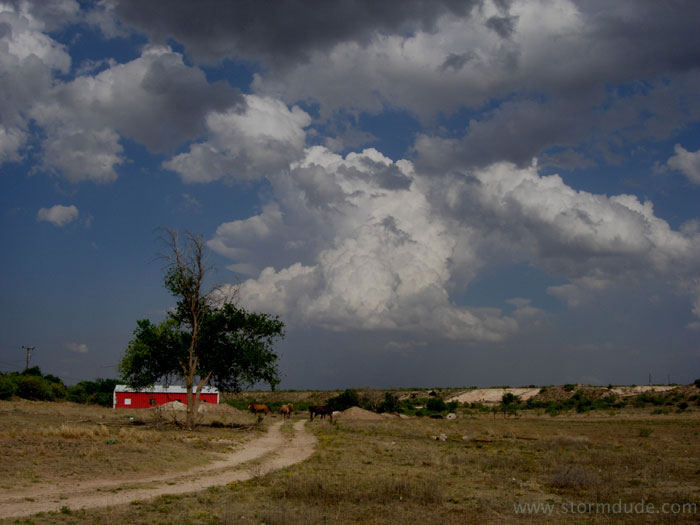
Late afternoon driving north towards my target of Seminole, Texas (southwest of Lubbock near the New Mexico border). View looking east.
This is a marginal day, with low CAPE and weak shear, so my expectations are low. But I am encouraged by the site of towers going up as I approach Seminole.
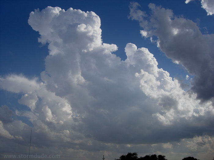
Lower portion of a growing cumulus tower just northwest of Seminole.
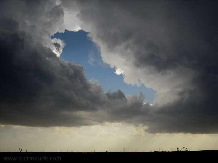
Interesting cell to the north.
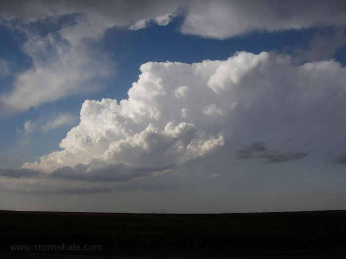
A second tower going up just to my southwest.
Looking due west. The cells are drifting slowly north.
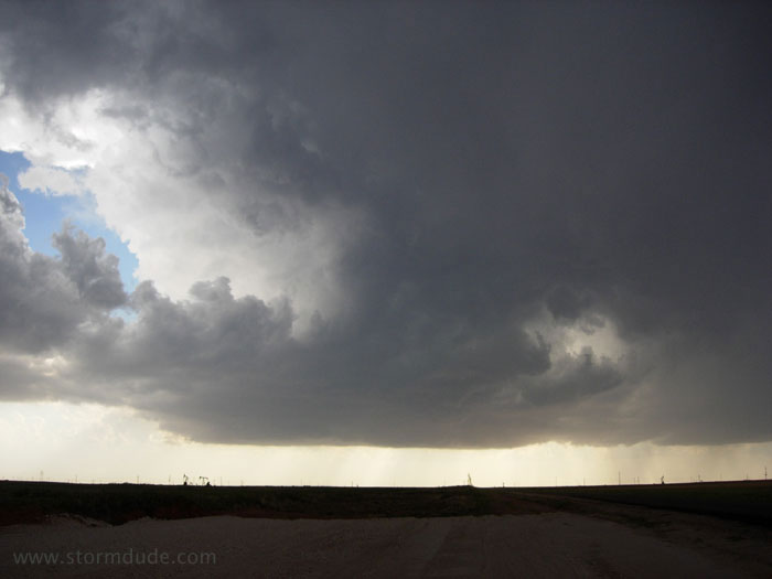
A few minutes later.
Another perspective.
Looking back towards the north.
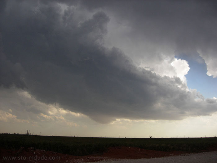
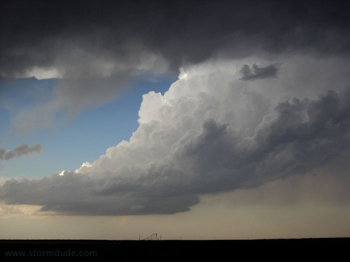
As I drift north with the thunderstorms, a new cell develops at the southwestern corner of the complex and quickly strengthens. I head around a dying cell, driving through nickel size hail in the process, and intercept the southernmost storm a little east of Seminole.
This LP storm shows definite signs of rotation.
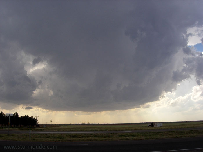
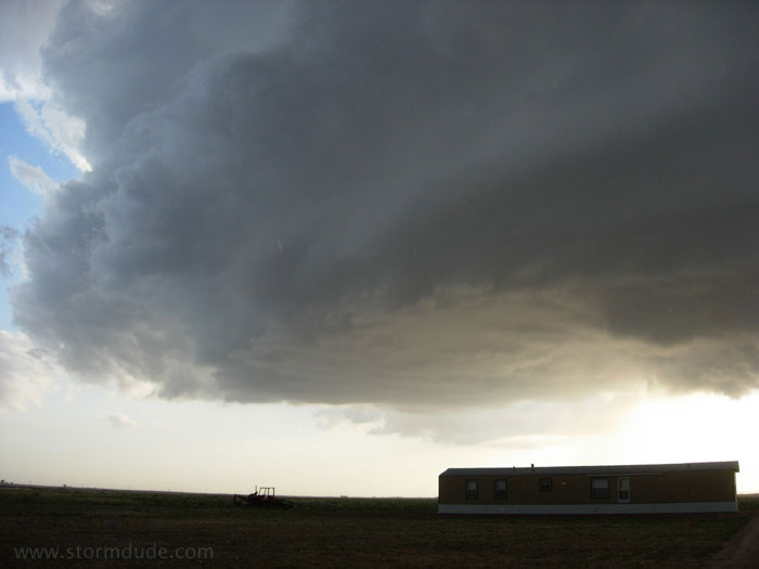
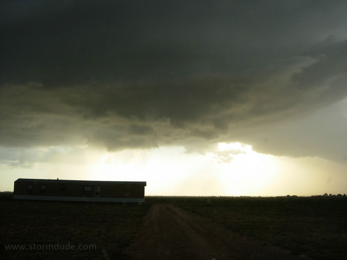
Shelf cloud develops as dusk approaches.
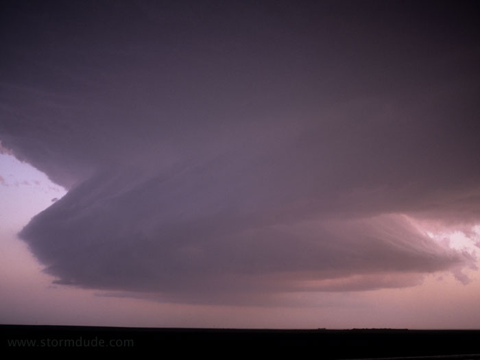
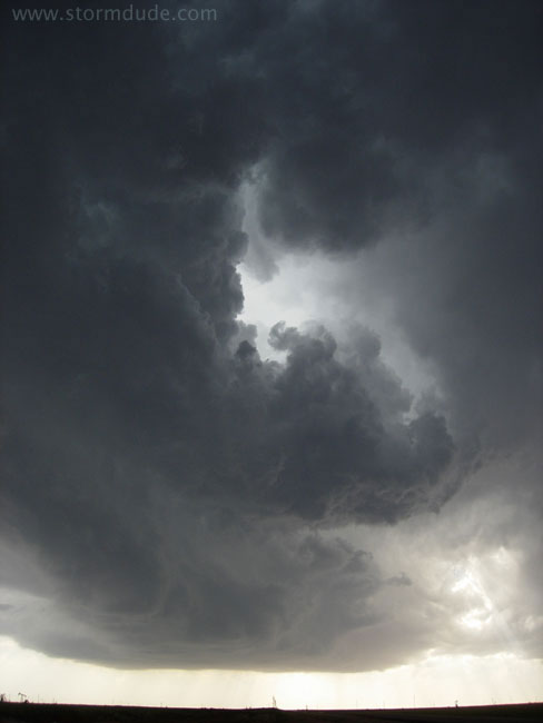
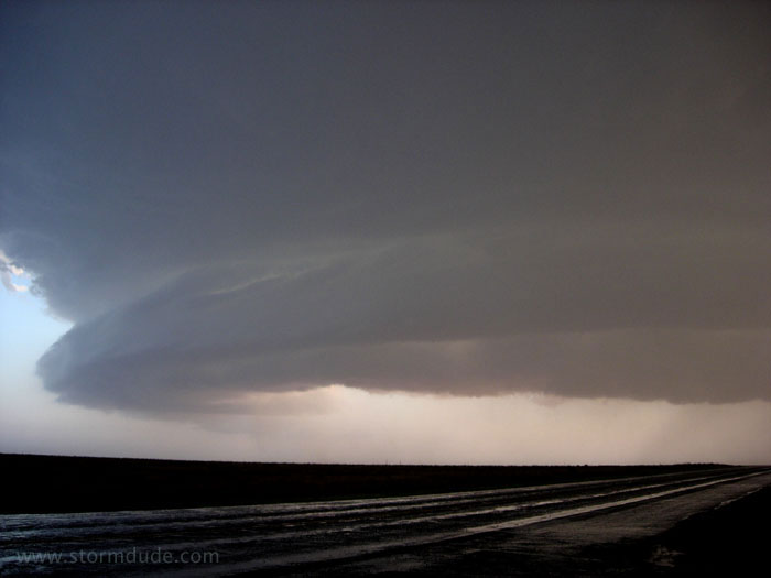
Then in the fading light the storm takes on a dramatic rotating appearance. A spectacular finish to a marginal day. West Texas magic!