April 18: Northwest Missouri Squall Line
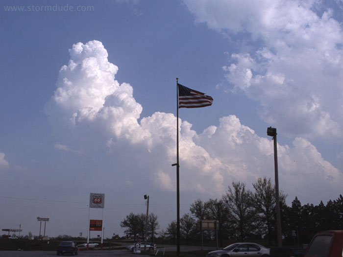
Several past frustrations in Missouri have taught me to avoid that hilly, forested state, but since I'm already in northeast Kansas, I decide to wander across the state line. View looking south on a hot, humid afternoon.
Strong cap will keep storms from forming south of the front until dusk, so I stay north of the front in light easterly winds.
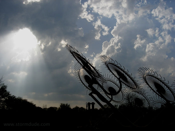
Even north of the front, convection holds off until late afternoon, and then develops slowly. In early evening the dryline sweeps over me and I enjoy the spectacle of strong convection from the rear.
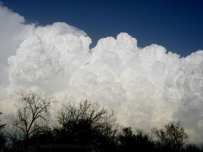
Proof that falling behind a squall line (intentional in this case, since I didn't want to chase into central Missouri) isn't necessarily a bad thing. The rapid upward motion of this cauliflower-shaped cloud was breathtaking.
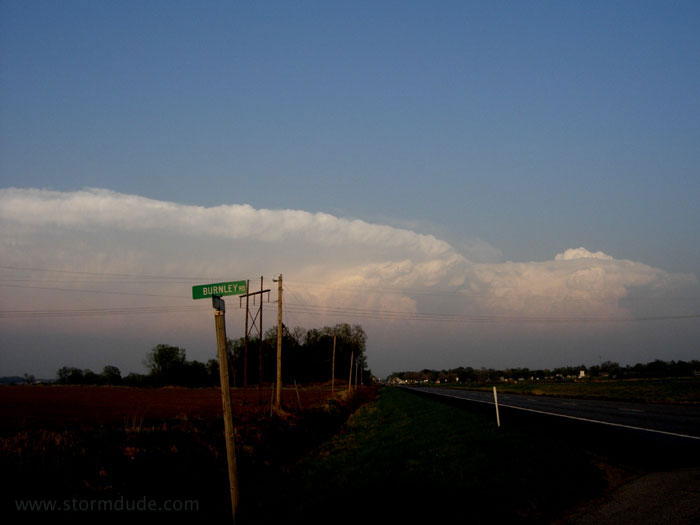
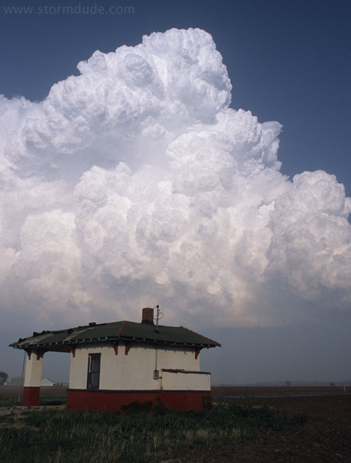
A well-developed squall line at sunset.
April 23: Southwest Kansas Thunderstorm
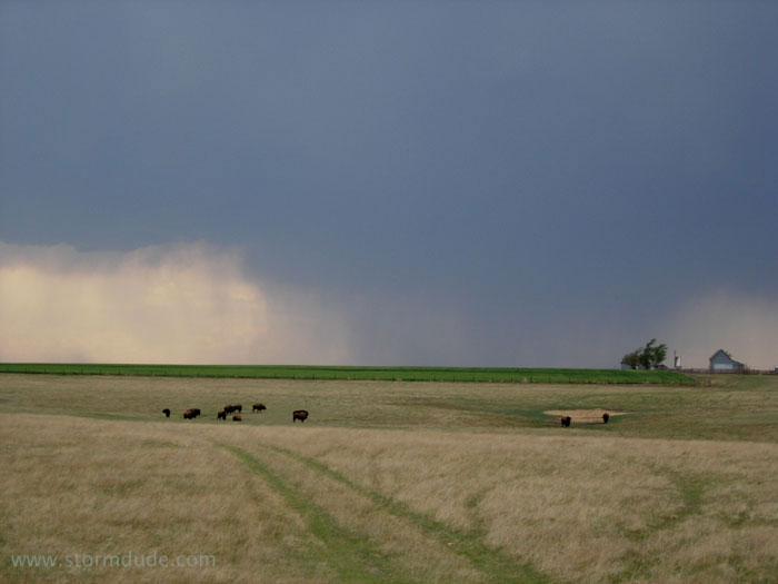
It's only a short drive to intercept this high-based storm on a hot day near Dodge City.
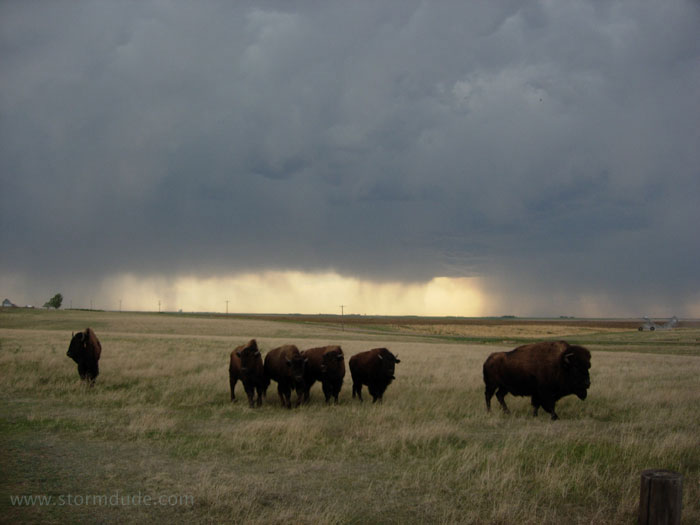
The buffalo are curious.
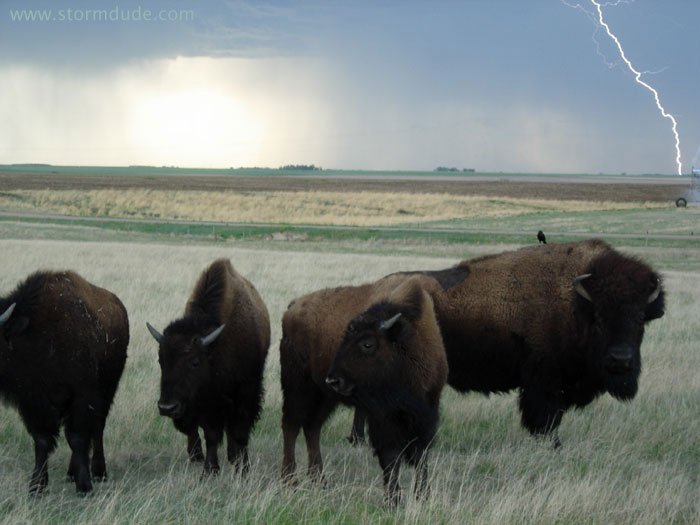
Daytime lightning photos are pure luck unless you're taking video, but if you take enough photos of storms with frequent CGs (cloud-to-ground lightning strikes), sooner or later something good is going to happen.
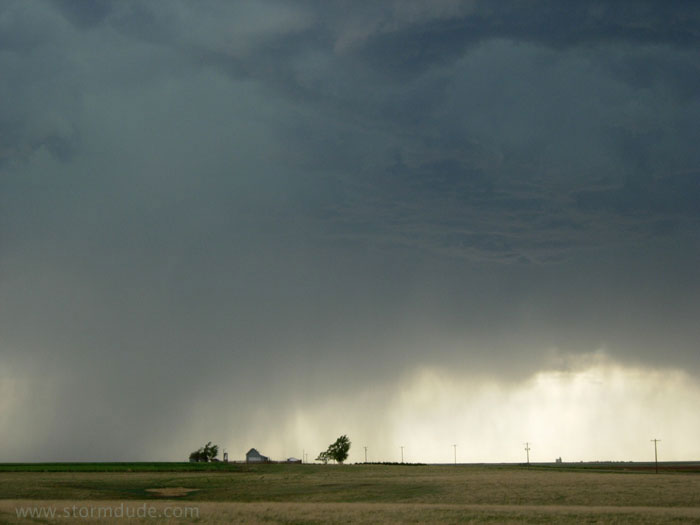
Looking west from three miles south of Bucklin, Kansas.
Ragged lowering as shelf cloud develops.
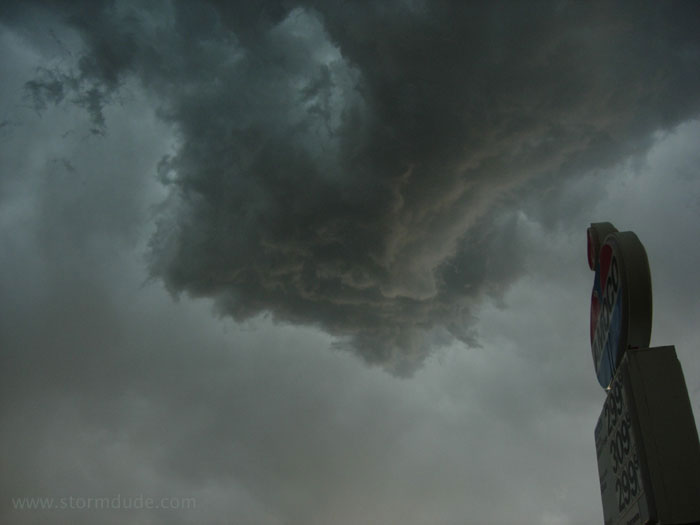
Turbulent skies under a high-based thunderstorm.
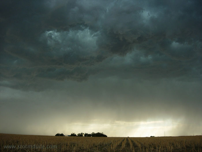
Southern end of squall line at dusk.
April 28: Central Texas Thunderstorms
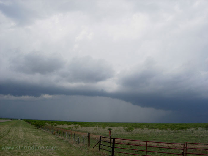
Mid-afternoon, in front of a large upper low approaching from New Mexico, I watch a storm weaken east of Guthrie. Light surface winds and marginal CAPE create poor prospects.
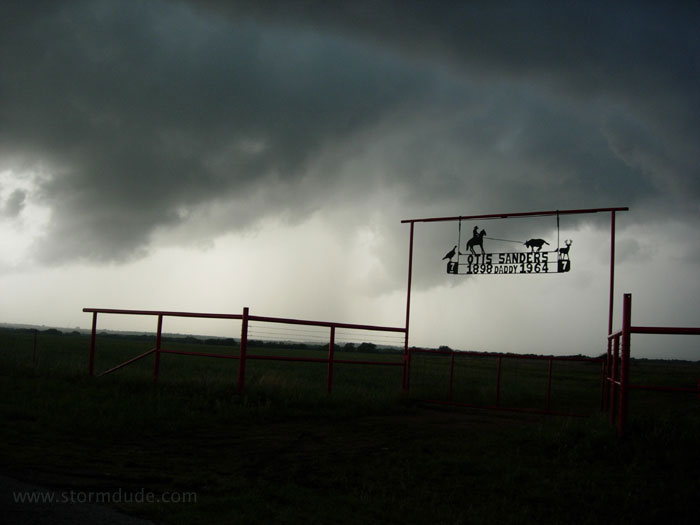
Thunderstorms die out near Seymour, so I head south to better CAPE south of Abilene.
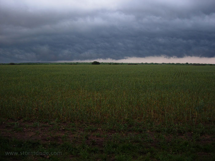
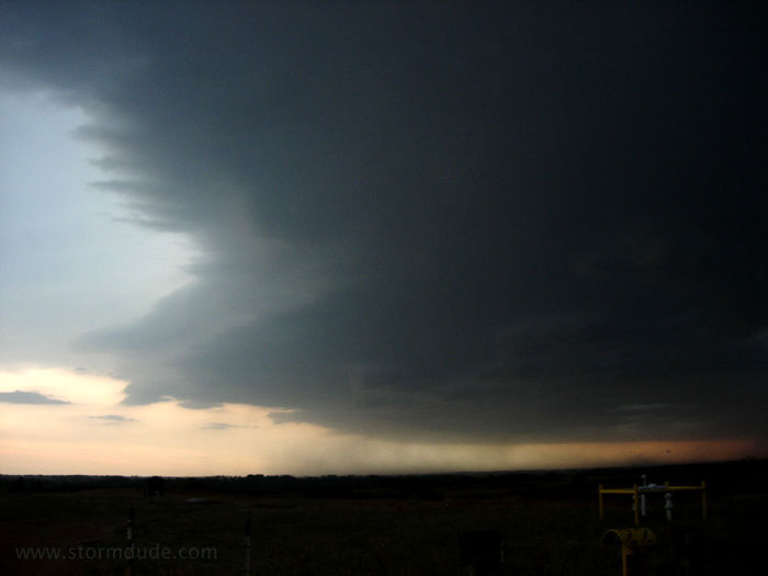
Under a shelf cloud as dusk approaches.