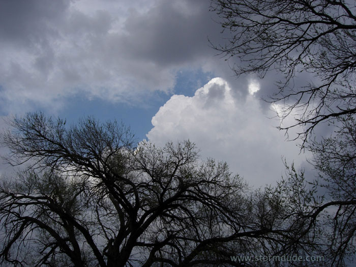
March 30th Storms in Central Oklahoma:
Before I have a chance to recover from the long drive from California, I'm already chasing storms. This is my first intercept of the season, just south of Chickasha.
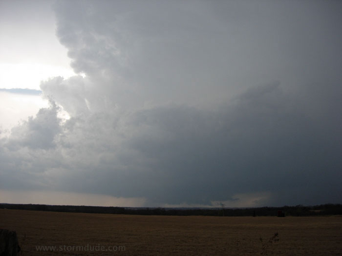
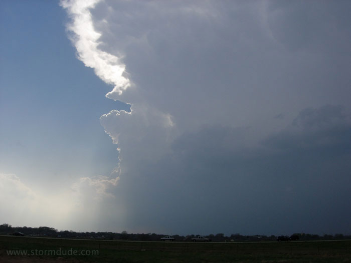
After encountering some marble-size hail near Marlow, I intercept the southernmost cell of the squall line three miles north of Tussy (25 miles east of Duncan). Here a wall cloud has formed underneath a mostly rain-free base.
Weak RFD spins up a funnel cloud, but it doesn't last. Soon downdrafts take over and the storm remains outflow-dominated the rest of the afternoon.
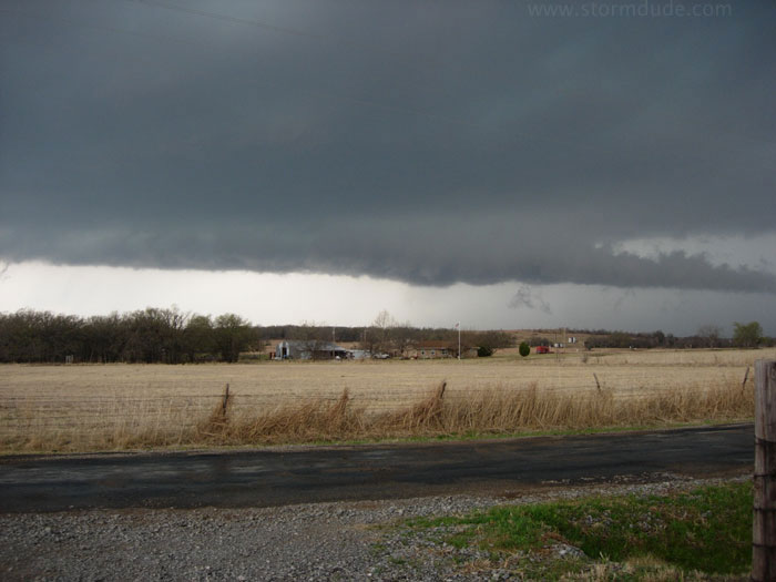
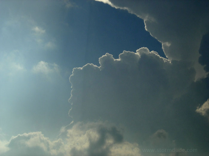
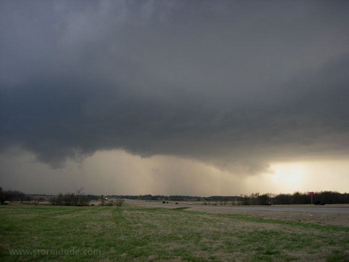
Looking to the right, a shelf cloud begins developing above an advancing gust front.
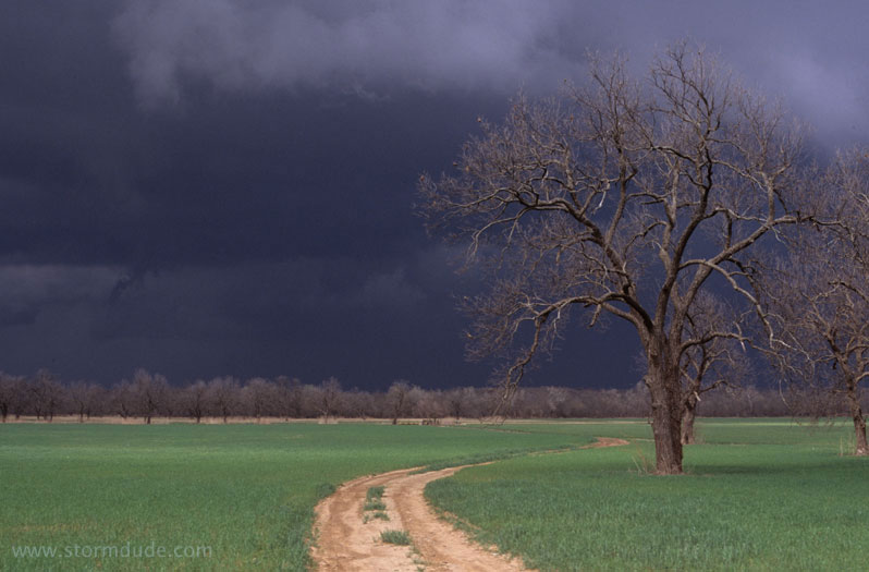
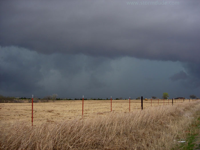
Ahead of the advancing storm in rural Oklahoma.
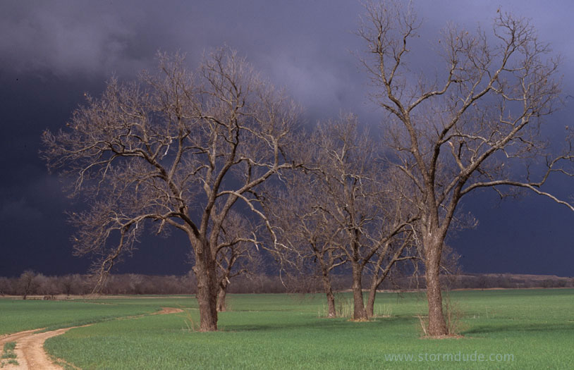
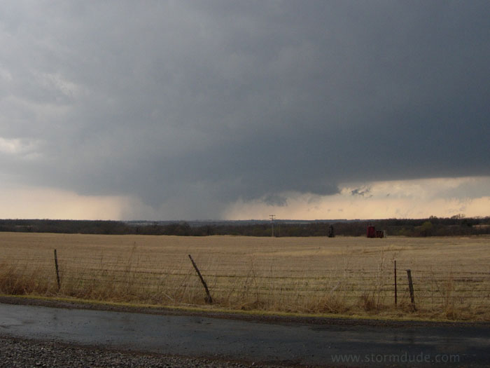
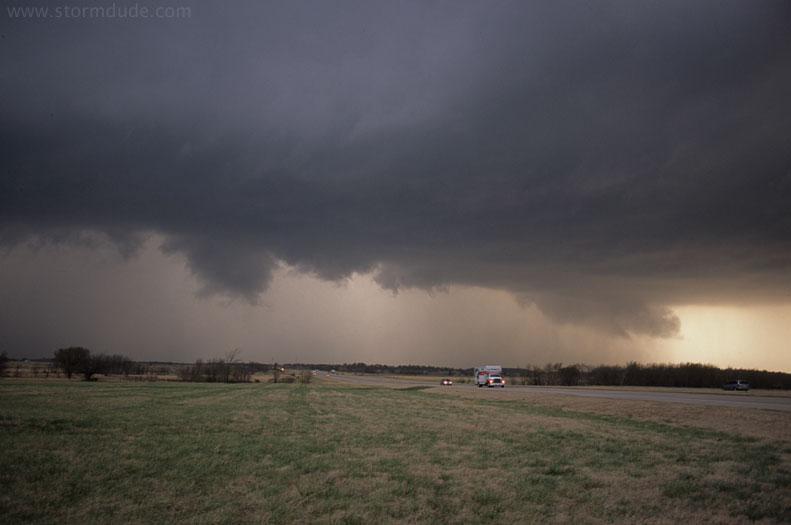
Another view.
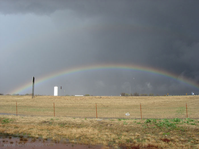
End of the chase near Paul's Valley.
April 1st Storms in Panhandles/Northwest Oklahoma:
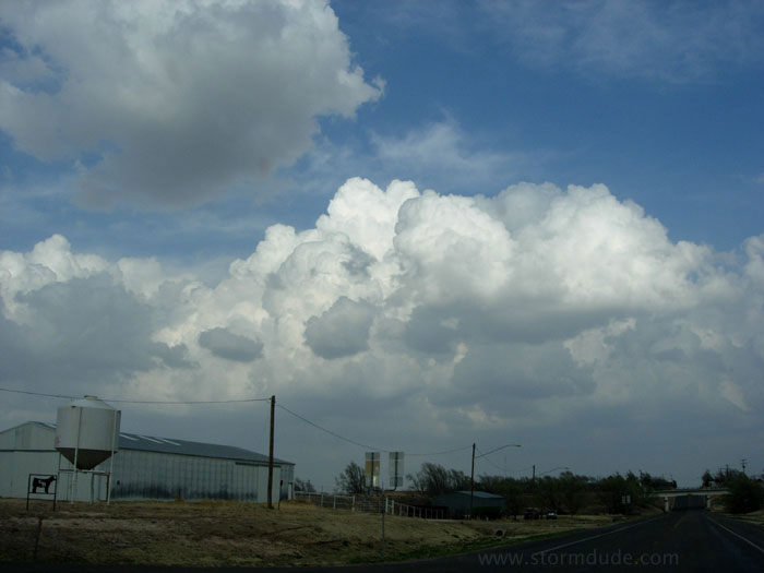
Today, Mother Nature plays an April Fool's joke on me. First, I drive a couple of hours north to the northern Texas panhandle and then into Oklahoma to intercept a strong storm. But when I arrive, very strong winds have filled the air with dust, making my photos worthless, and the storm is rapidly weakening. So I drive an hour south to intercept the next storm moving towards me. But I notice the winds have shifted to the SSW, so I turn east towards the new convergence zone. This is the first clear view.
I get close to the developing storm once I reach Oklahoma, but it races NNE at 50 mph, making it impossible for me to get in position.
New cell just north of me as dusk approaches. Today was a lesson that early season storms are unforgiving of tactical errors.
April 6th Storms in Northeast Oklahoma:
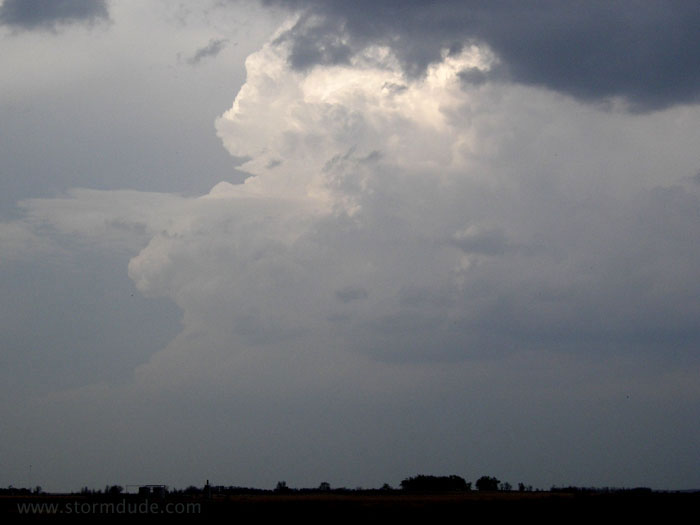
My target today is the axis of an approaching jet streak in eastern Oklahoma. A dryline forms along I-35 but I discover I'm too far south as the dryline bulges northeast near Stillwater. I fail to catch the strongest storms, which race north at about 50 mph, but intercept this storm just north of Tulsa.
The storm develops as I wait for it to clear the Tulsa metro area, but by the time I intercept, it is outflow dominated.
I drive southeast until I intercept a newly developed storm about twenty miles east of Tulsa.
Gust front racing towards me.