June 7th: South Dakota LP Supercell and Tornadoes
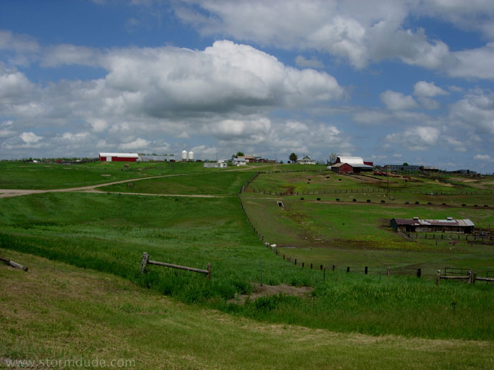
Farm scene as I drive west from Pierre, South Dakota.
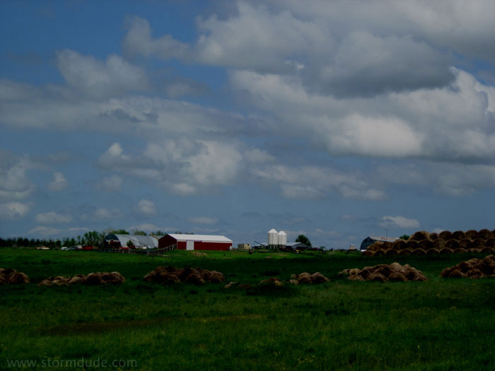
Another blissful setting. Too bad it gets so cold up here.
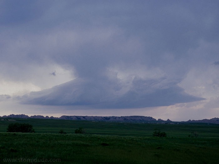
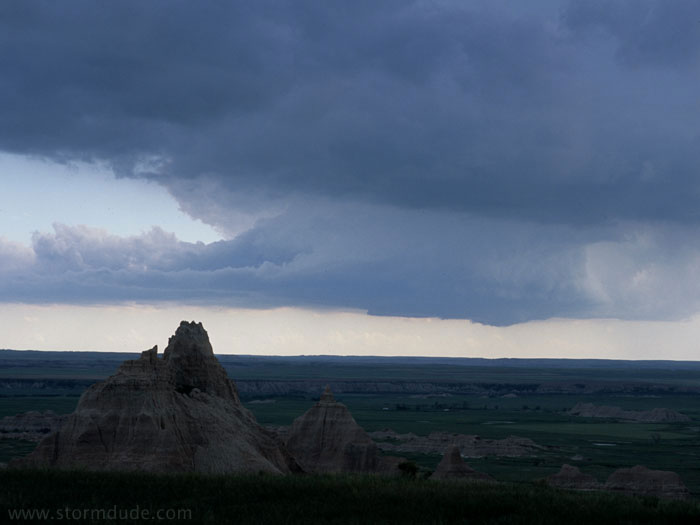
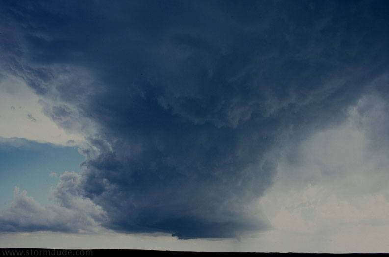
Developing LP Supercell just west of Badlands National Park in southwest South Dakota.
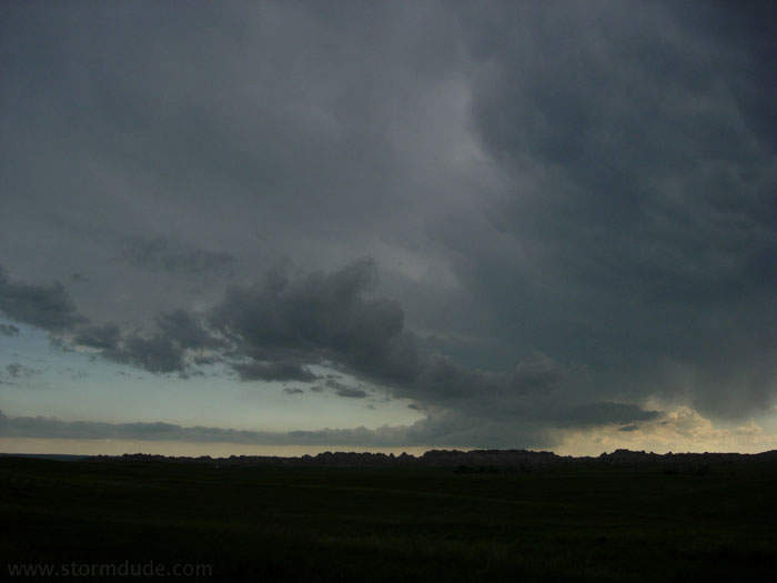
Another LP storm is further south. Although the northern storm is stronger, the southern storm has better inflow.
After a half-hour, it becomes clear that the northern storm is weakening. Also, the southern storm has stopped moving towards me and is drifting very slowly east. I continue driving south.
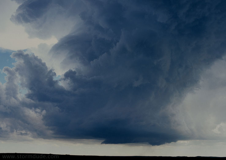
Amazing.
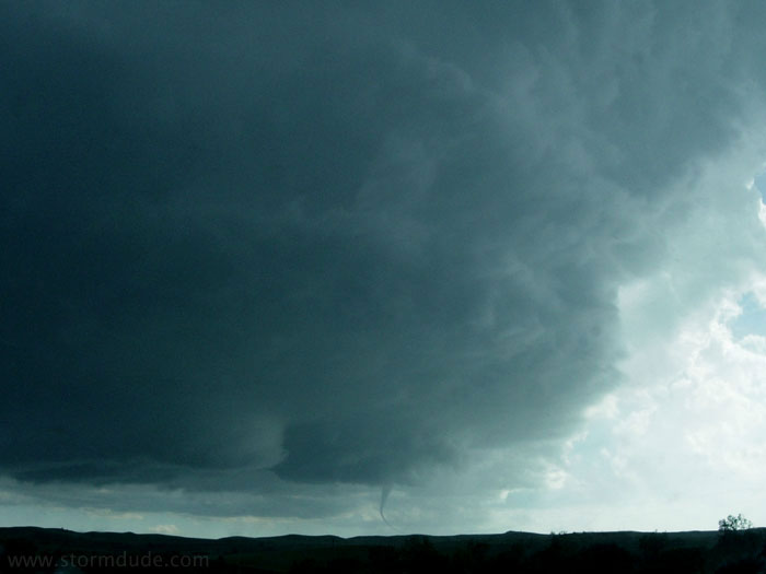
A funnel cloud develops.
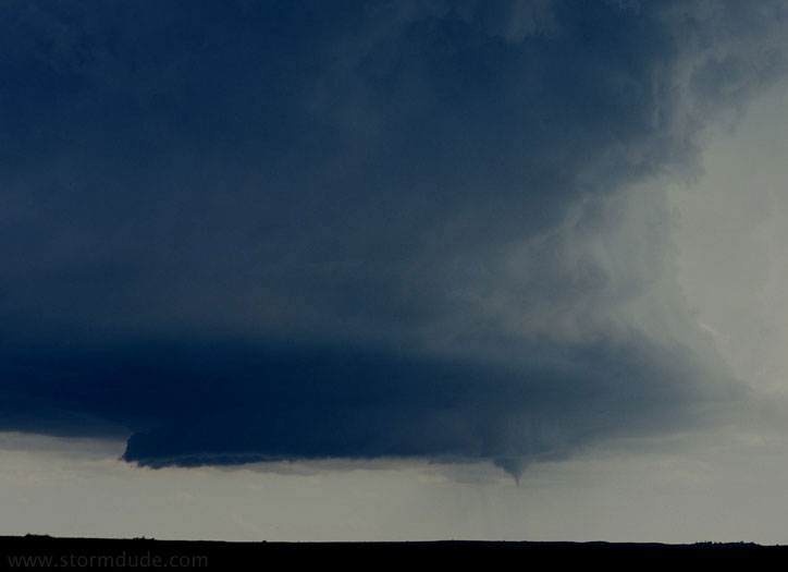
It lowers towards the ground.
The first funnel dissipates.
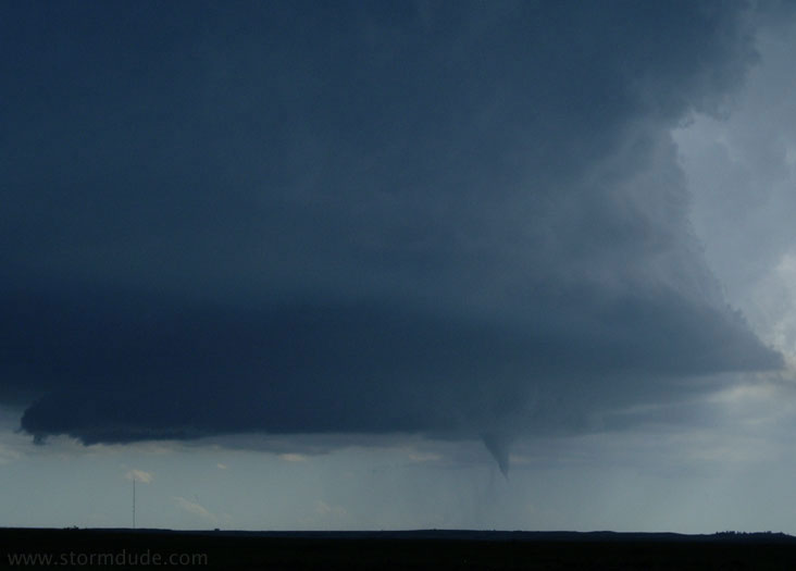
A couple of minutes later, a new tornado touches down.
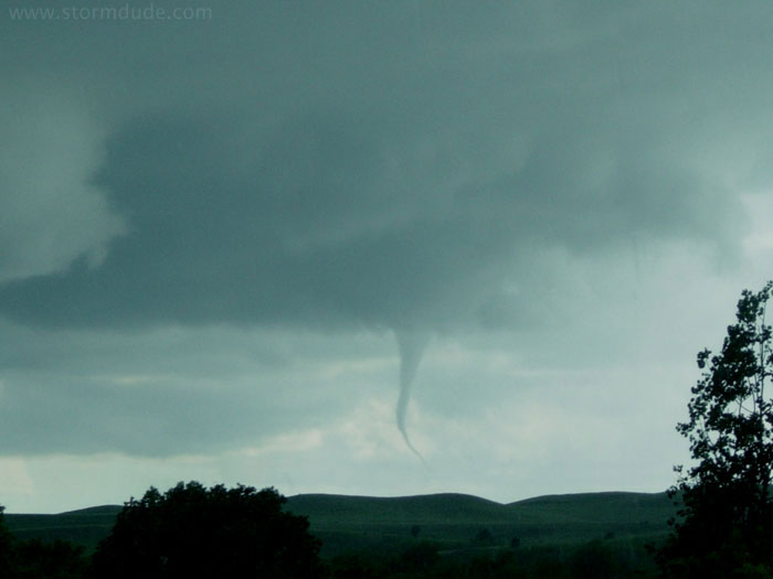
A closer look.
That’s it for tornado production as storm rotation weakens.
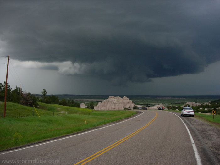
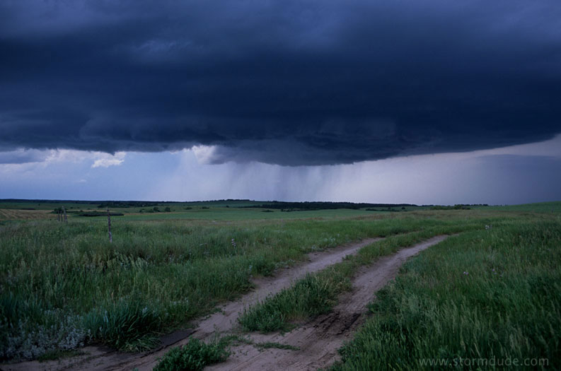
Watching the storm move northeast across dramatic South Dakota scenery.